Parking
East Rosebud Trailhead is at the end of East Rosebud Road (Forest Road 2177). There is ample parking, room for horse trailers, and a vault toilet. The Clarks Fork endpoint is about 95 road miles away, so arrange the shuttle before starting.

#5 of 82 trails in Beartooth Highway
Beartooth Highway, MT · WY
A 26-mile crossing over lakes, waterfalls, and blasted granite ledges
Overview
The Beaten Path is a 26-mile point-to-point backpacking route through the Absaroka-Beartooth Wilderness, from East Rosebud Trailhead to Clarks Fork Trailhead on US 212. It follows East Rosebud Trail #15 to Fossil Lake, then turns onto Russell Creek Trail #3 for the final stretch. Budget about 18 hours of hiking over one or two nights. The payoff is a parade of lakes, waterfalls, blasted granite shelves and open high country, but the distance and remote ends make this a trip for backpackers comfortable carrying their own gear. If you can choose direction, walk from Clarks Fork to East Rosebud for a net-downhill finish; either way, you climb to the high country.
 Parkwolf’s verdictIs this the hike for you?
Map & elevation
Plan your hike

The highest, rockiest slopes around here are a summer buffet for grizzly bears.
Beartooth Highway Tour Guide
Parkwolf is a GPS audio tour guide for Beartooth Highway. As you drive, it chimes in with what’s ahead: hidden gems, upcoming stops, history, geology, and wildlife, right through your car’s speakers.
See the Beartooth Highway audio tour“Fantastic app with many points of information… It’s great to just turn on while you’re driving and it gives you an audio tour of the national Park. We love it!!!!”


Trail guide
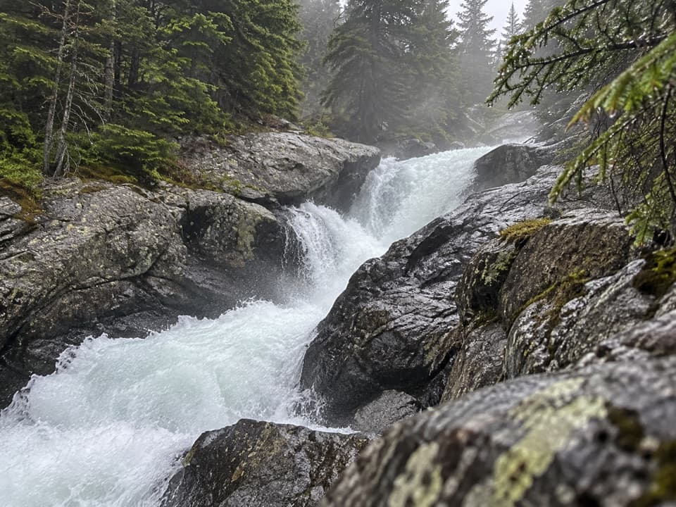
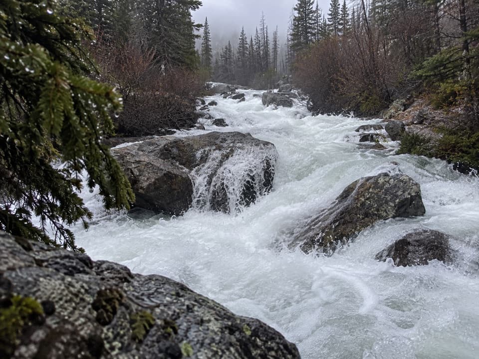
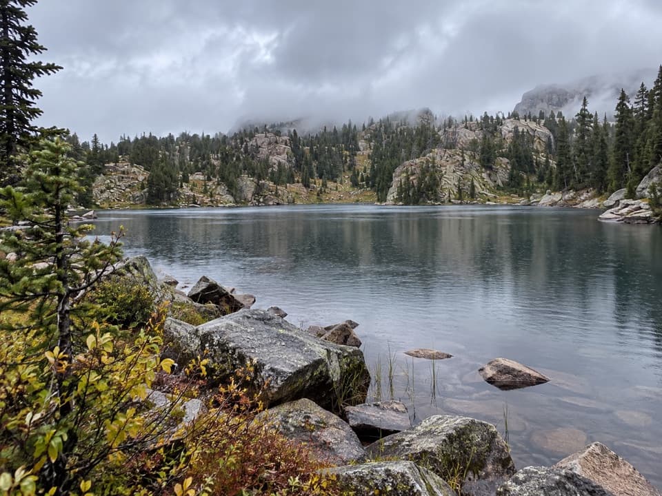
The trail starts at the end of East Rosebud Road and climbs steadily from lodgepole forest toward the alpine lakes. Elk Lake is 3.5 miles in, Rimrock at 6, Rainbow at 8, and Fossil Lake at 16. The lakes and waterfalls keep coming, but don't mistake them for easy day-hike endpoints: the route continues beyond each one. The climb to Fossil gains about 3,400 feet. Near Rimrock, the path is cut into granite shelves above the water; look back to see how the ledges hold the trail against the slope. Frame the ledges with water below them for the clearest sense of this unusual stretch.
Fossil Lake marks the high point. From there the route crosses open alpine ground with wide views across the Beartooth Plateau, then descends past Windy, Skull, Bald Knob, Ouzel and Russell lakes. Ouzel is 18.8 miles from East Rosebud, Russell Lake 20, and Kersey Lake 24.5; the Clarks Fork end is mile 26. Reverse the route and the first six miles from Clarks Fork start in lodgepole forest after a crossing of the Clarks Fork of the Yellowstone. That direction gives the hike a different opening: trees first, then lakes and the open plateau.
The name The Beaten Path came from guidebook author Bill Schneider in 1996; trail crews had already nicknamed the route Beartooth 101. Starting in 1962, crews spent three summers blasting a path through Precambrian rock near Impasse Falls. The ledges at Rimrock are another memorable section of the same route. Floods in 2022 destroyed about 4.5 trail miles and two miles of road; a replacement bridge at Rimrock went in during October 2025, an important chapter in the repair work.
Start at East Rosebud Trailhead, at the end of East Rosebud Road (Forest Road 2177); the lot has ample parking, space for horse trailers, and a vault toilet. The endpoints are about 95 road miles apart, so arrange the shuttle before hiking, and don't expect cell service at either end. Late June to mid-September is the usual window; early melt can mean mud and mosquitoes, while snow, thunderstorms and hail are possible at high elevation even in summer. Carry bear spray, keep dogs under control and pack out pet waste. Campfires are prohibited between Twin Outlets Lake and Fossil Lake. If your shuttle takes you through Roscoe, the Grizzly Bar is a separate burger-and-beer stop, not part of the hike.
Wildlife
 42 sightingsGrizzly BearMost seen around 7 AMSighting map
 22 sightingsGray WolfMost seen around 6 AMSighting map
 49 sightingsBisonMost seen around 6 AMSighting map
 122 sightingsMooseMost seen around 6 AMSighting map
 260 sightingsMountain GoatMost seen around 7 AMSighting map
 16 sightingsBighorn SheepMost seen around 7 PMSighting map
Sighting maps show where each species has been reported across Beartooth Highway. Wildlife moves, so no sighting is guaranteed.
Keep exploring
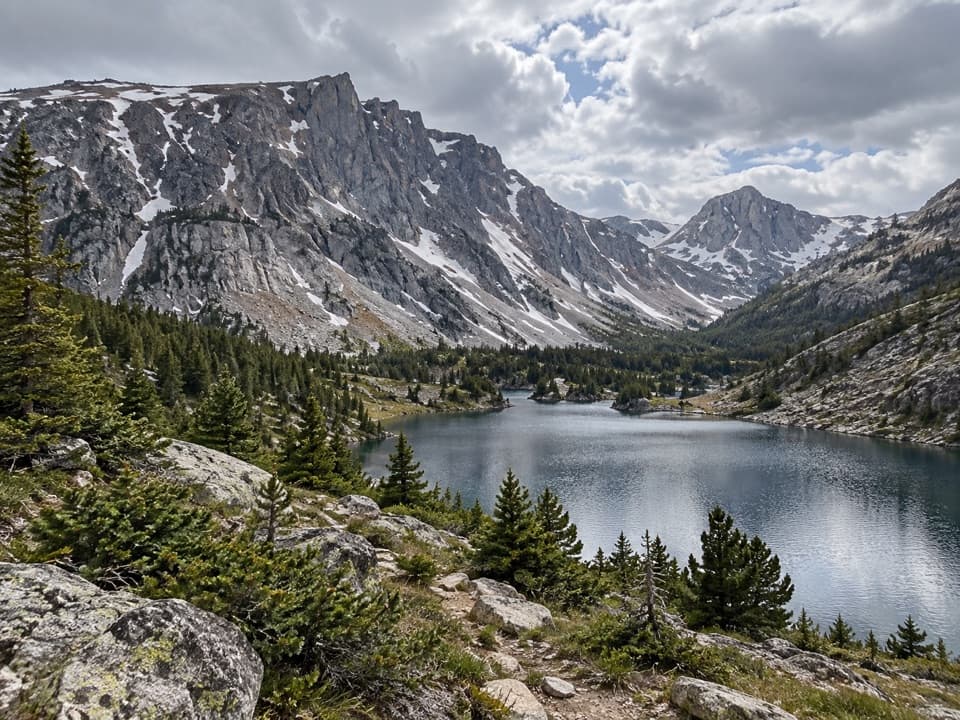 ChallengingLake Mary Trail #1B11.8 mi · 6 hr · 7.1 mi awayLong West Fork climb to two high lakes above the valley.
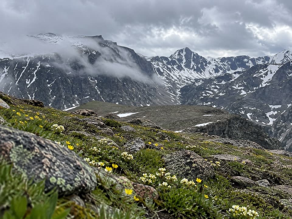 ChallengingEast Rosebud–Camp Senia Trail14.1 mi · 9.5 hr · 7.1 mi awayA hard alpine crossing links West Fork with East Rosebud Campground.
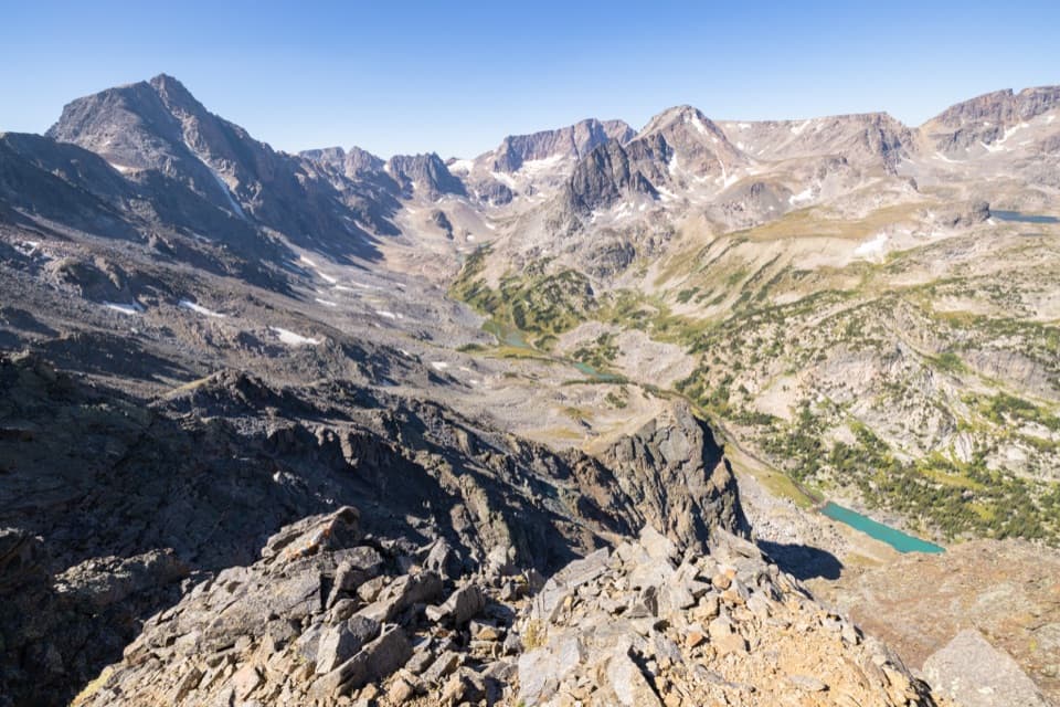 ChallengingWest Fork Trail #122 mi · 13 hr · 7.1 mi awayWaterfalls and alpine lakes lead to an 11,045-foot pass.
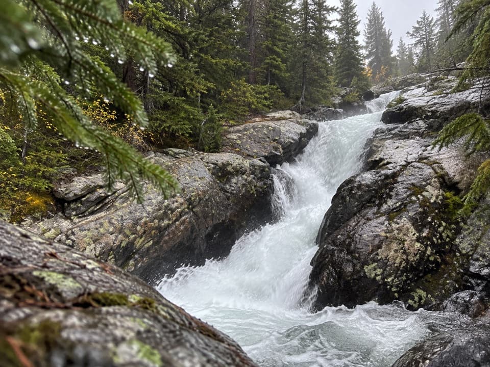 EasyCalamity and Sentinel Falls Trail4.5 mi · 2.5 hr · 7.1 mi awayTwo waterfalls, a creekside walk, and a long open stretch early.
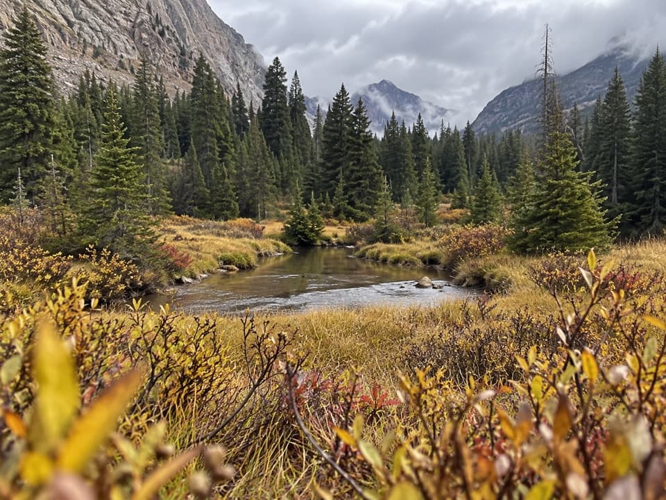 ModerateQuinnebaugh Meadows Trail9 mi · 5.5 hr · 7.1 mi awayWaterfalls break up the long walk to a flower-filled meadow.
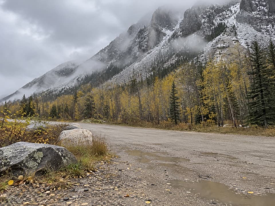 ChallengingCamp Senia Trail #167 mi · 5 hr · 7.1 mi awayA long climb to a high-country junction and wilderness connections.
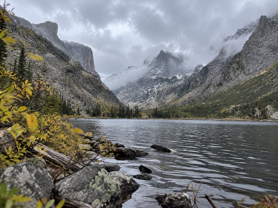 ChallengingCrow Lake via Camp Senia Trail17.2 mi · 10 hr · 7.1 mi awayA long backcountry climb to Crow Lake's granite cirque.
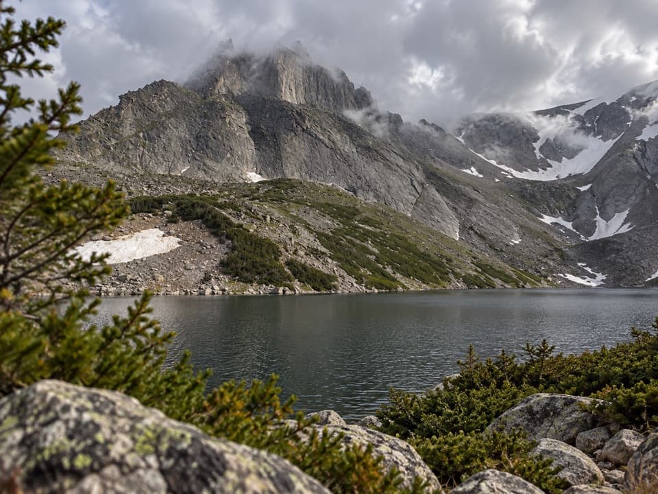 ChallengingSylvan Lake via Camp Senia Trail20.6 mi · 12 hr · 7.1 mi awayA high-country out-and-back to Sylvan Lake via Camp Senia.
Parkwolf’s Beartooth Highway ranking
The audio tour guide for the drive, plus offline maps, trails, and wildlife heatmaps for when the signal drops.