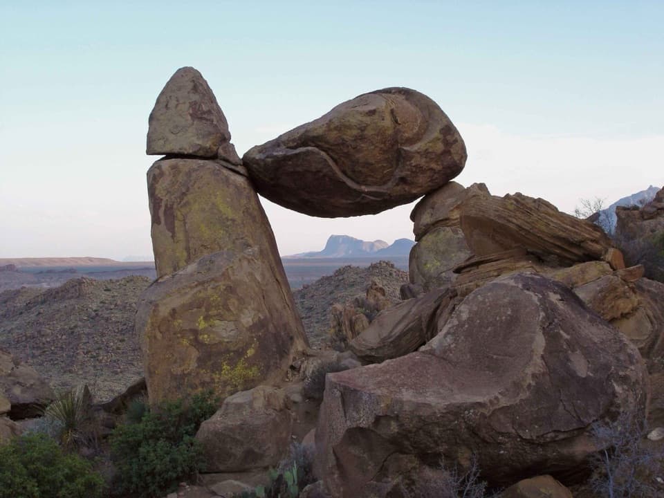
Parking
Use the shared Dog Canyon and Devil’s Den roadside pull-off, 3.5 miles south of Persimmon Gap Visitor Center.

Big Bend National Park, TX
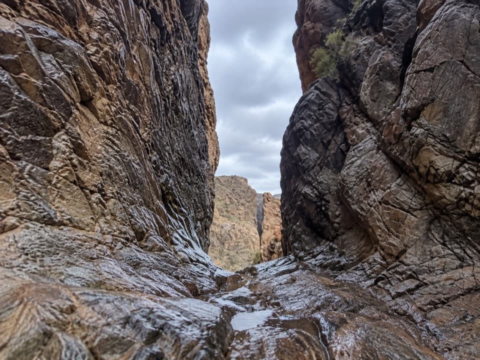
A narrow limestone slot from a long desert rim walk.
Overview
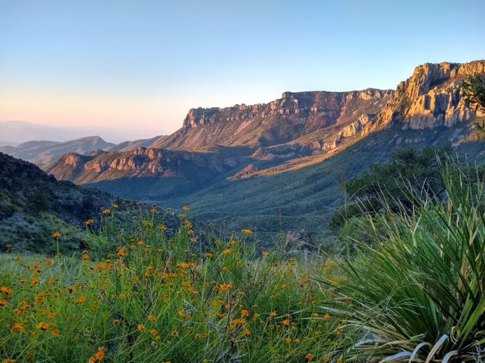
Devil’s Den is a 7.5-mile out-and-back from the shared Dog Canyon and Devil’s Den pull-off to the canyon’s south rim and back, about 3.8 miles each way. The payoff is a close view into a narrow limestone slot, with wide desert country around it. It’s a long, exposed walk for a rim view; allow four to six hours and go only if you’re comfortable following a sparse cairned route away from the wash. The park’s separate 4-mile Dog Canyon hike is a different branch, not the mileage for this route.
 Parkwolf’s verdictIs this the hike for you?
Map & elevation
Plan your hike

The highest, rockiest slopes around here are a summer buffet for grizzly bears.
Big Bend Tour Guide
Parkwolf is a GPS audio tour guide for Big Bend National Park. As you drive, it chimes in with what’s ahead: hidden gems, upcoming stops, history, geology, and wildlife, right through your car’s speakers.
See the Big Bend audio tourRecorded for this trailhead
Dog Canyon and the Camel Experiment“Up ahead is the Dog Canyon pullout and Camel Experiment Exhibit, a quick stop with an unusual bit of Army history.”
Plays as you drive up to this trailhead in the Parkwolf Big Bend Tour Guide.
More stories near here in the app
“Fantastic app with many points of information… It’s great to just turn on while you’re driving and it gives you an audio tour of the national Park. We love it!!!!”


Trail guide
The approach crosses flat desert toward the mountain cleft, then drops into a wash at about 1.5 miles. At Nine Point Draw, take the Devil’s Den branch rather than the fork to Dog Canyon. After roughly half a mile, a cairn marks the tributary route out of the draw; climb out to the right and follow the faint line over a rise. Route-finding gets harder here, so check with a visitor center for current route information before setting out. The mapped route includes the shared approach, the draw connector and the rim line; return by the same corridor.
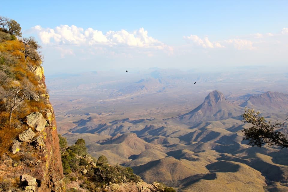
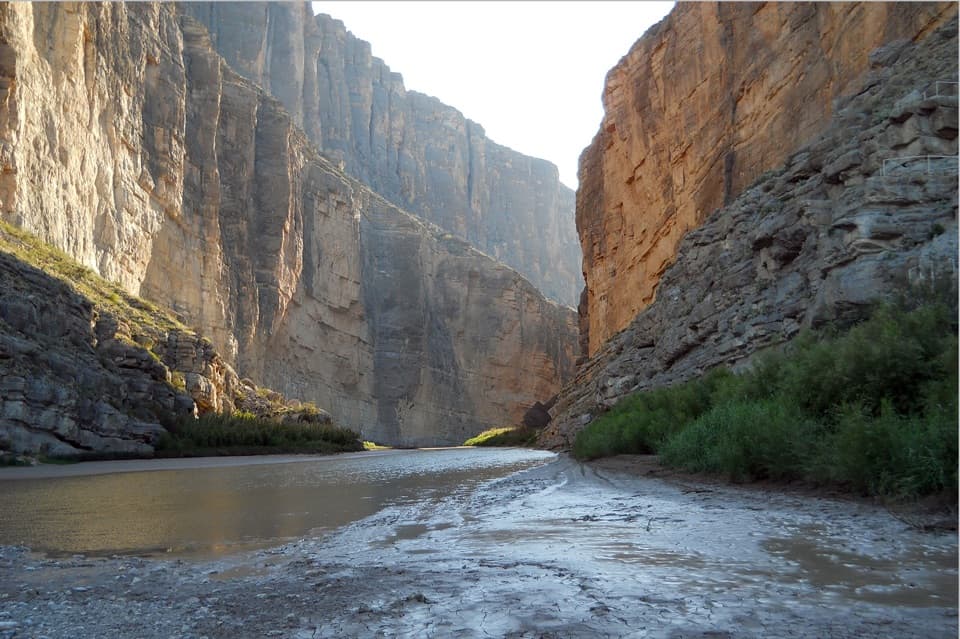
The south rim deepens along the route, and some sections pass close to the canyon edge. The walk ends at a rise where Devil’s Den opens toward Dagger Flats: pale limestone walls drop into a narrow, shadowed ravine, with the desert spread out beyond. The rim is the viewing route; the canyon-floor traverse is a separate technical trip through dryfalls and boulders. The park warns against attempting that descent without a companion and proper gear. From the rim, frame the slot with the surrounding desert, but stay well back from the edge.
Wildlife
 377 sightingsBlack BearMost seen around 7 PMSighting map
 329 sightingsCollared PeccaryMost seen around 7 PMSighting map
 500 sightingsWhite-tailed DeerMost seen around 7 PMSighting map
 985 sightingsRoadrunnerMost seen around 8 AMSighting map
 228 sightingsRavenMost seen around 5 PMSighting map
 264 sightingsTurkey VultureMost seen around noonSighting map
Sighting maps show where each species has been reported across Big Bend. Wildlife moves, so no sighting is guaranteed.
Keep exploring
 ModerateDog Canyon Trail4 mi · 2.5 hr · At the trailheadA mostly level desert walk to the limestone walls of Dog Canyon.
 EasyFossil Discovery Exhibit Trail0.4 mi · 30 min · 14.1 mi awayA short paved climb opens a broad view across fossil-bearing layers.
 Sight · At the trailheadCamel Experiment ExhibitA roadside sign tells a surprisingly practical camel story.
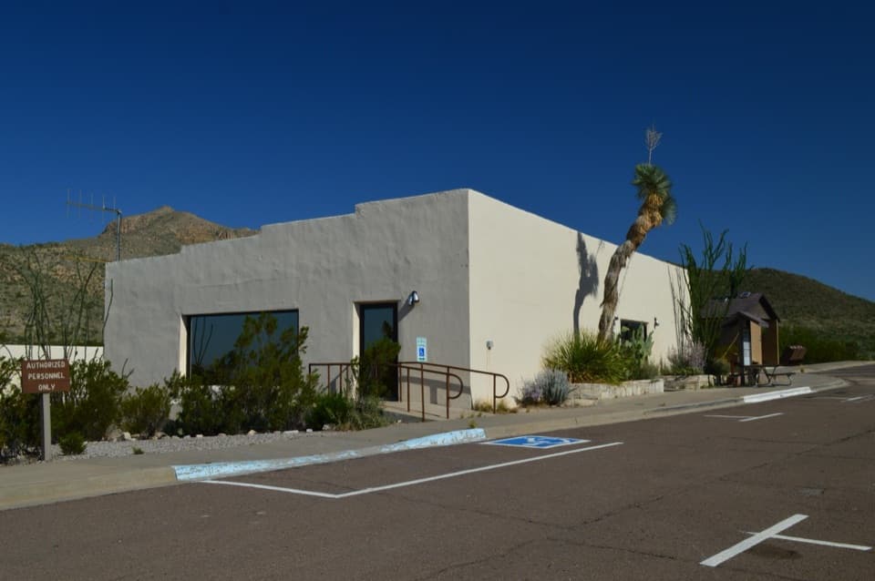 Visitor center · 3.2 mi awayPersimmon Gap Visitor CenterGet your bearings beside the park’s oldest exposed rocks.
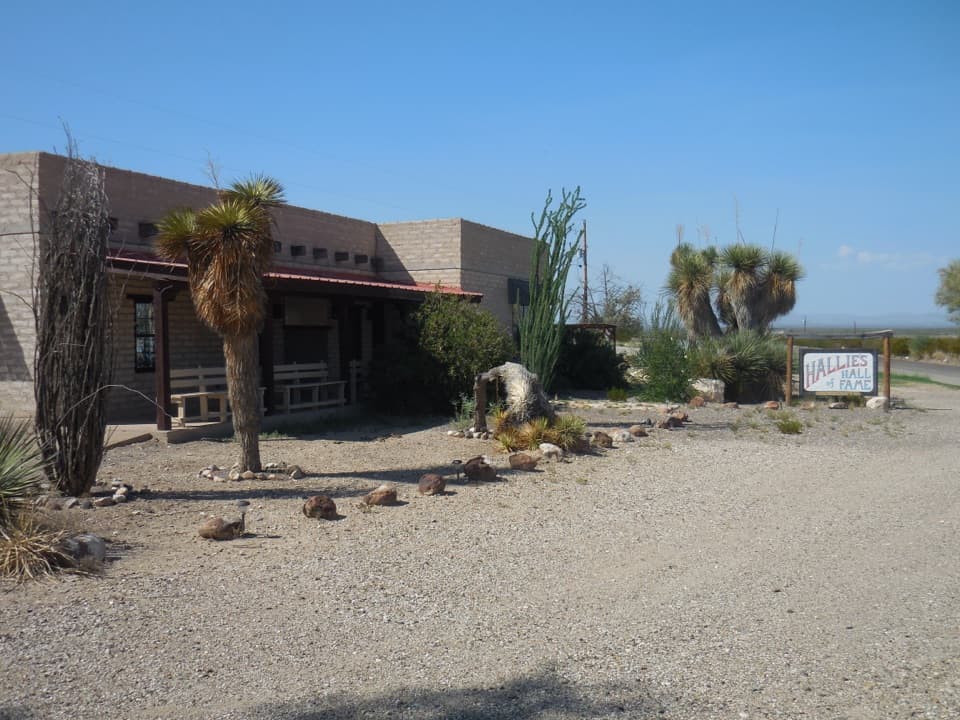 Sight · 4.1 mi awayStillwell Store and Hallie Stillwell Hall of Fame MuseumA remote northern stop for supplies and Hallie Stillwell’s museum.
 Sight · 4.2 mi awayPersimmon Gap Entrance SignA roadside arrival photo on a route used for centuries.
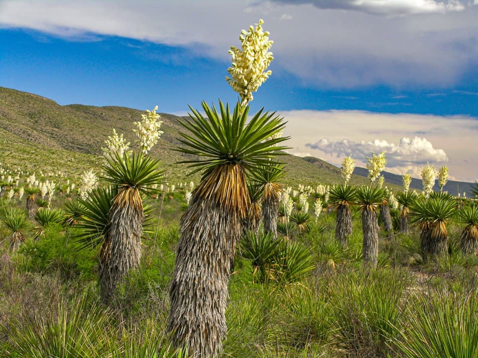 Sight · 8.8 mi awayDagger Flat Yucca ForestTowering dagger yuccas make the long dirt-road detour count.
Parkwolf’s Big Bend ranking
The audio tour guide for the drive, plus offline maps, trails, and wildlife heatmaps for when the signal drops.