Parking
Use the signed, paved Dog Canyon and Devil’s Den pullout, 4.5 miles south of the Persimmon Gap entrance. It fits about five vehicles.

Big Bend National Park, TX
A mostly level desert walk to the limestone walls of Dog Canyon.
Overview
Map & elevation
Plan your hike

The highest, rockiest slopes around here are a summer buffet for grizzly bears.
Big Bend Tour Guide
Parkwolf is a GPS audio tour guide for Big Bend National Park. As you drive, it chimes in with what’s ahead: hidden gems, upcoming stops, history, geology, and wildlife, right through your car’s speakers.
See the Big Bend audio tourRecorded for this trailhead
Dog Canyon and the Camel Experiment“Up ahead is the Dog Canyon pullout and Camel Experiment Exhibit, a quick stop with an unusual bit of Army history.”
Plays as you drive up to this trailhead in the Parkwolf Big Bend Tour Guide.
More stories near here in the app
“Fantastic app with many points of information… It’s great to just turn on while you’re driving and it gives you an audio tour of the national Park. We love it!!!!”


Trail guide
Dog Canyon Trail is a 4-mile out-and-back from the paved pullout on U.S. 385, crossing open desert before entering a break in the Deadhorse Mountains. The park estimates 2–3 hours and about 50 feet of elevation change. Choose it for the limestone walls at the end; most of the walk is a fairly level desert approach.
Follow the cairned sand-and-dirt tread across sparse desert brush. Around 1.5 miles in, it reaches a normally dry wash and a metal sign. Turn left into Dog Canyon; the right fork continues toward Devil’s Den. The signed junction is easy to miss on the return, so take a moment to register it before heading into the canyon.
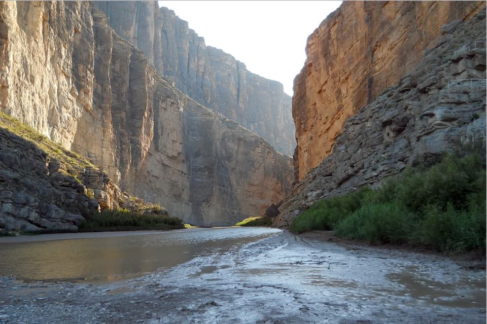
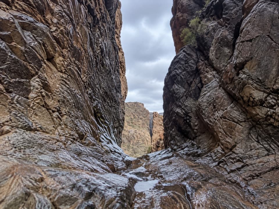
The last half mile follows a rocky drainage, where footing gets uneven and unstable. High limestone walls close in around the wash; the route passes between the cliffs and out the other side. Most hikers turn around where the canyon ends and retrace the same route. From the roadside, the canyon’s cleft stands out across the open plain; farther in, the close walls make a striking frame around the trail.
The approach has little shade and only scattered creosote, cactus, and grasses. Bring water and sun protection; the park recommends about a liter per person for each planned hiking hour and cooler early or late starts. After good rain, clay mud can clump on shoes and make walking difficult.
Use the signed Dog Canyon and Devil’s Den pullout, 4.5 miles south of the Persimmon Gap entrance. It is paved and has room for about five vehicles. Dogs and other pets are not allowed on park trails.
Wildlife
 377 sightingsBlack BearMost seen around 7 PMSighting map
 329 sightingsCollared PeccaryMost seen around 7 PMSighting map
 500 sightingsWhite-tailed DeerMost seen around 7 PMSighting map
 985 sightingsRoadrunnerMost seen around 8 AMSighting map
 228 sightingsRavenMost seen around 5 PMSighting map
 264 sightingsTurkey VultureMost seen around noonSighting map
Sighting maps show where each species has been reported across Big Bend. Wildlife moves, so no sighting is guaranteed.
Keep exploring
 ModerateDevil’s Den Trail7.5 mi · 5 hr · At the trailheadA narrow limestone slot from a long desert rim walk.
 EasyFossil Discovery Exhibit Trail0.4 mi · 30 min · 14.1 mi awayA short paved climb opens a broad view across fossil-bearing layers.
 Sight · At the trailheadCamel Experiment ExhibitA roadside sign tells a surprisingly practical camel story.
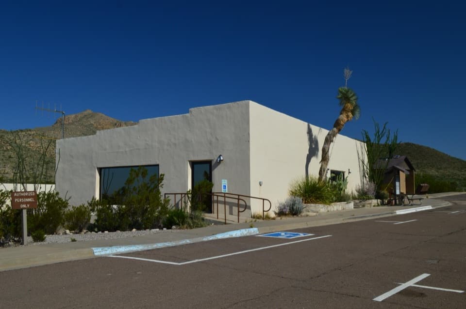 Visitor center · 3.2 mi awayPersimmon Gap Visitor CenterGet your bearings beside the park’s oldest exposed rocks.
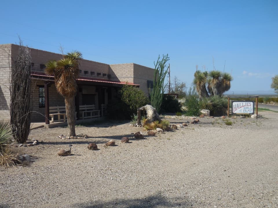 Sight · 4.1 mi awayStillwell Store and Hallie Stillwell Hall of Fame MuseumA remote northern stop for supplies and Hallie Stillwell’s museum.
 Sight · 4.2 mi awayPersimmon Gap Entrance SignA roadside arrival photo on a route used for centuries.
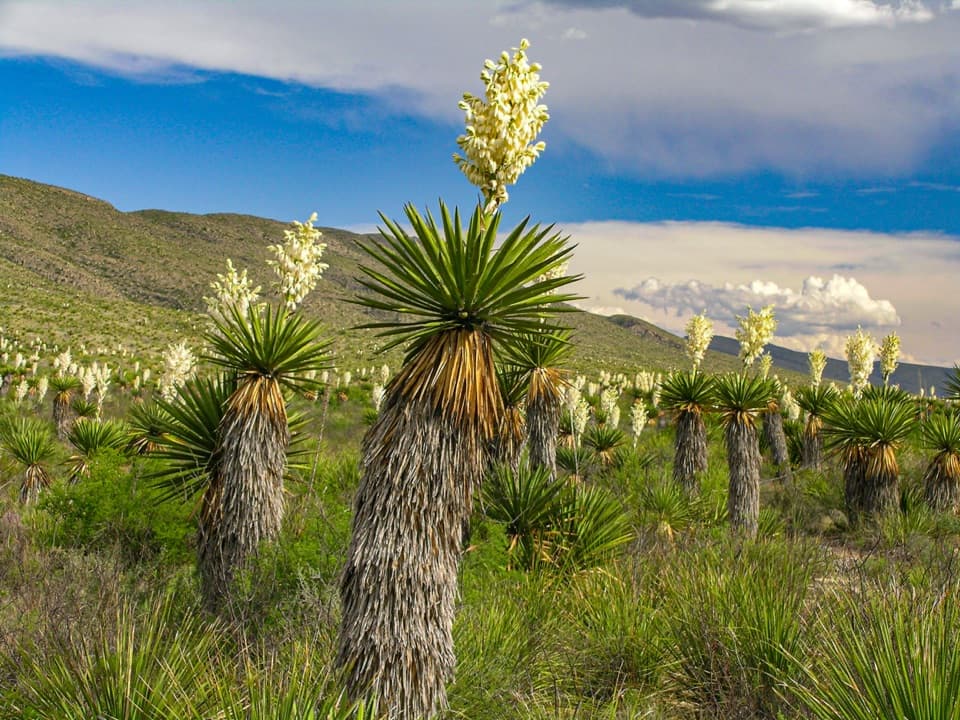 Sight · 8.8 mi awayDagger Flat Yucca ForestTowering dagger yuccas make the long dirt-road detour count.
Parkwolf’s Big Bend ranking

The audio tour guide for the drive, plus offline maps, trails, and wildlife heatmaps for when the signal drops.