Parking
Start at Chisos Basin Trailhead near the Chisos Basin parking lot; this is also the access for Emory Peak and Boot Canyon routes.

Big Bend National Park, TX
A steep, shaded climb to a high pass above the Basin.
Overview
Map & elevation
Plan your hike

The highest, rockiest slopes around here are a summer buffet for grizzly bears.
Big Bend Tour Guide
Parkwolf is a GPS audio tour guide for Big Bend National Park. As you drive, it chimes in with what’s ahead: hidden gems, upcoming stops, history, geology, and wildlife, right through your car’s speakers.
See the Big Bend audio tourRecorded for this trailhead
Chisos Basin and Window View“You're coming up on Chisos Basin, a mountain-ringed bowl with a gap called the Window opening toward the desert.”
Plays as you drive up to this trailhead in the Parkwolf Big Bend Tour Guide.
More stories near here in the app
“Fantastic app with many points of information… It’s great to just turn on while you’re driving and it gives you an audio tour of the national Park. We love it!!!!”


Trail guide
Pinnacles Trail is a 7-mile out-and-back from Chisos Basin Trailhead to Toll Mountain Pass and back. It climbs about 1,700 feet, from roughly 5,400 to 7,000 feet, and gets you high into the Chisos without adding the Emory Peak summit. Allow about four to five hours. The first half-mile is steep; the grade eases after that but keeps rising to the pass. This is a hard half-day hike, not a quick basin stroll.
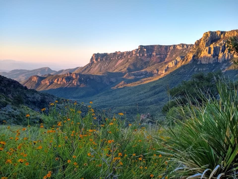
The route follows a well-marked dirt trail through forest, with rocky stretches, steps and long switchbacks. The opening climb is the steepest; later switchbacks break the ascent into manageable sections and open occasional views across the Basin. Loose, golf-ball-sized stones make some sections uneven, especially on the descent, so watch your footing. Small meadow openings give you a break from the trees and a place to stop without blocking the trail.
The pass sits around 7,000 feet, with views back toward Chisos Basin and the Window. The route continues beyond it into Boot Canyon, and the Emory Peak trail branches nearby. Those are separate extensions: the Emory Peak outing adds a 1.5-mile spur each way, while this trail entry turns around at the pass. For a photo, include some of the trail in the foreground and keep the Basin and Window in the view so the height of the climb reads clearly.
Mexican Jays are common in the Chisos, and hikers may find tracks or scat from black bears, mountain lions and gray foxes. The high-country forest also brings a different feel from Big Bend's lower desert trails; sightings are never guaranteed, but the shaded climb is a good place to slow down and listen.
The trailhead is beside the Chisos Basin parking area. Carry enough water for the full climb and descent: there is no reliable water in the Toll Mountain area. Pets are not allowed on park trails. The elevation and shade make this a useful summer hike when the low desert is much hotter, but the long climb still takes steady effort.
Wildlife
 377 sightingsBlack BearMost seen around 7 PMSighting map
 329 sightingsCollared PeccaryMost seen around 7 PMSighting map
 500 sightingsWhite-tailed DeerMost seen around 7 PMSighting map
 985 sightingsRoadrunnerMost seen around 8 AMSighting map
 228 sightingsRavenMost seen around 5 PMSighting map
 264 sightingsTurkey VultureMost seen around noonSighting map
Sighting maps show where each species has been reported across Big Bend. Wildlife moves, so no sighting is guaranteed.
Keep exploring
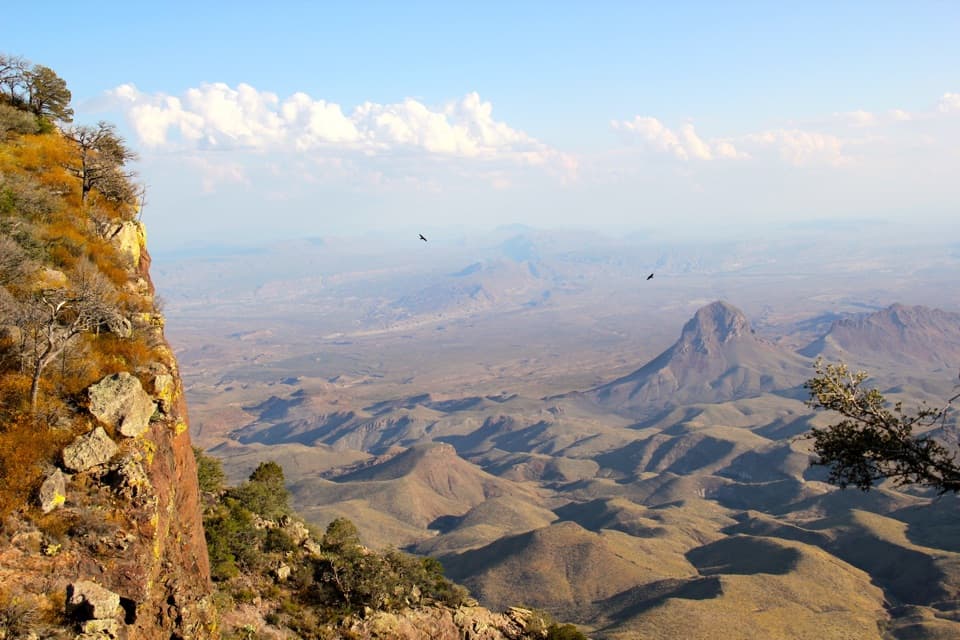 ChallengingSouth Rim Trail12.5 mi · 6.5 hr · At the trailheadA hard climb to the rim, back through Boot Canyon and Pinnacles.
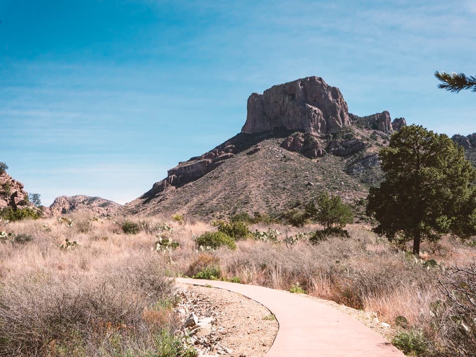 EasyWindow View Trail0.3 mi · 30 min · At the trailheadA paved Basin loop with a clear view through the Window.
 ChallengingEntire Rim Loop13.6 mi · 9 hr · At the trailheadBoth Chisos rims and Boot Canyon in a full-day loop.
 ModerateLaguna Meadow Trail7.4 mi · 4.5 hr · At the trailheadA steady climb into meadow country with views back to the Basin
 ChallengingEmory Peak Trail10.5 mi · 7 hr · At the trailheadA full-day climb to Big Bend’s highest summit and wide-open views.
 ChallengingOuter Mountain Loop30 mi · 18 hr · At the trailheadThree days from Chisos woodland to exposed desert, with no reliable water.
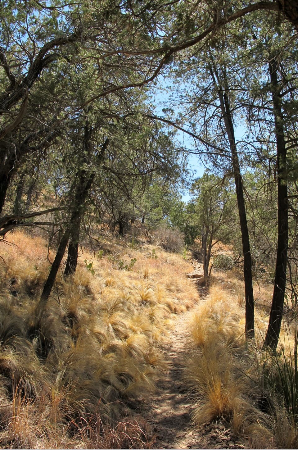 ModerateChisos Basin Loop Trail2 mi · 1 hr · At the trailheadA shaded Basin loop with Window views and pine forest.
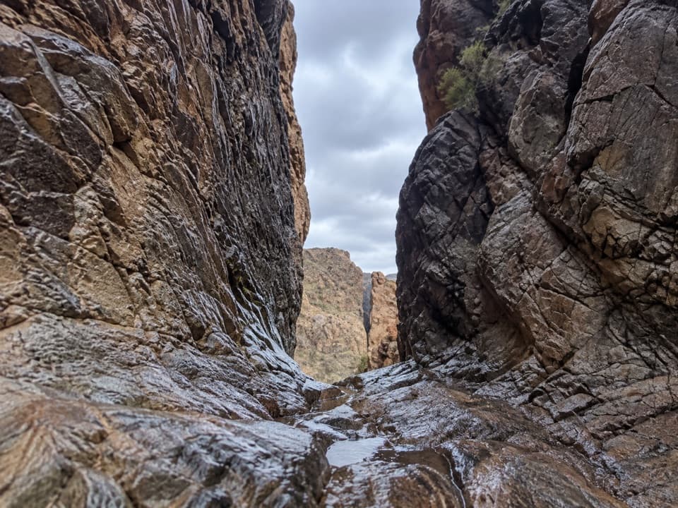 ModerateThe Window Trail5.5 mi · 3.5 hr · At the trailheadA 5.5-mile canyon hike with a tough climb back to the Basin.
 Store · At the trailheadChisos Basin StoreCold drinks and camp basics, without a detour from the Basin.
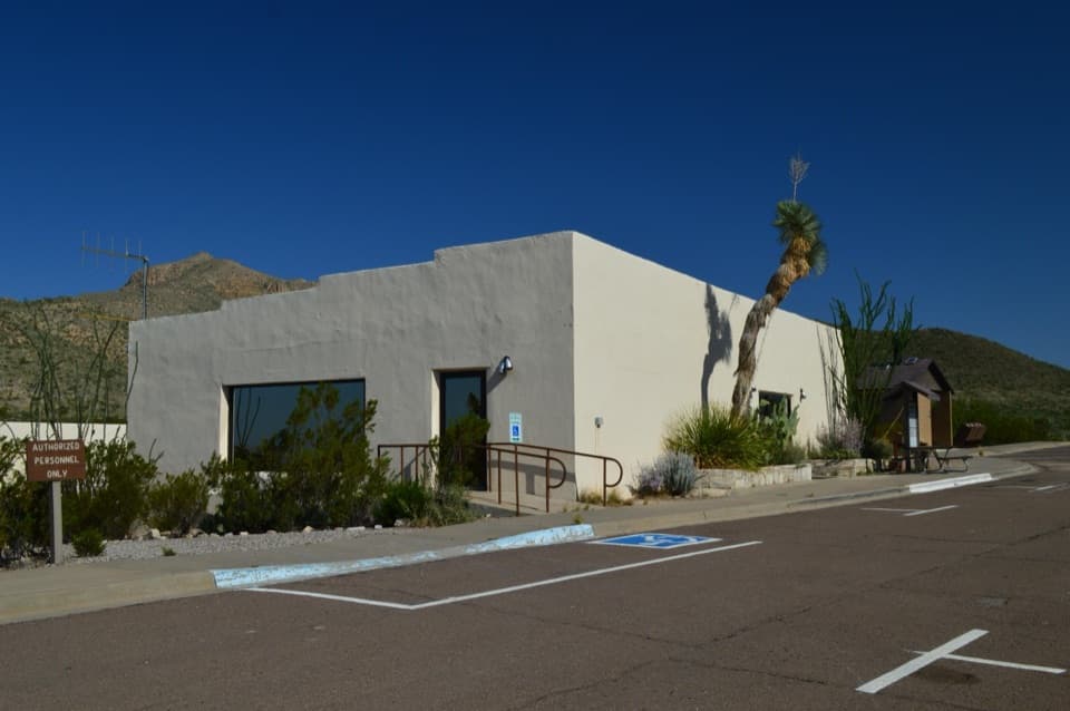 Visitor center · At the trailheadChisos Basin Visitor CenterA quick Chisos wildlife primer before you head for the Basin trails.
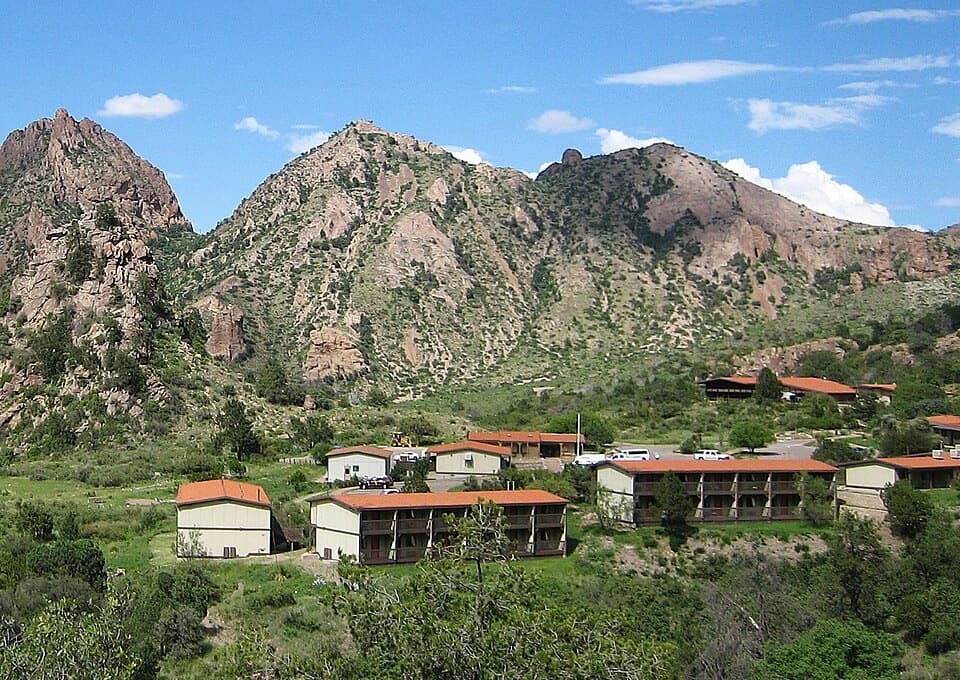 Lodging · 0.1 mi awayChisos Mountains LodgeStay at the park's only lodge, high in Chisos Basin.
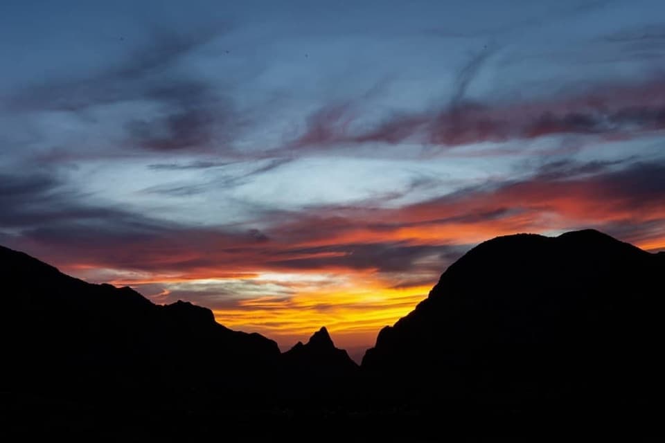 Sight · 0.1 mi awayWindow ViewA short, paved loop for sunset through the Window.
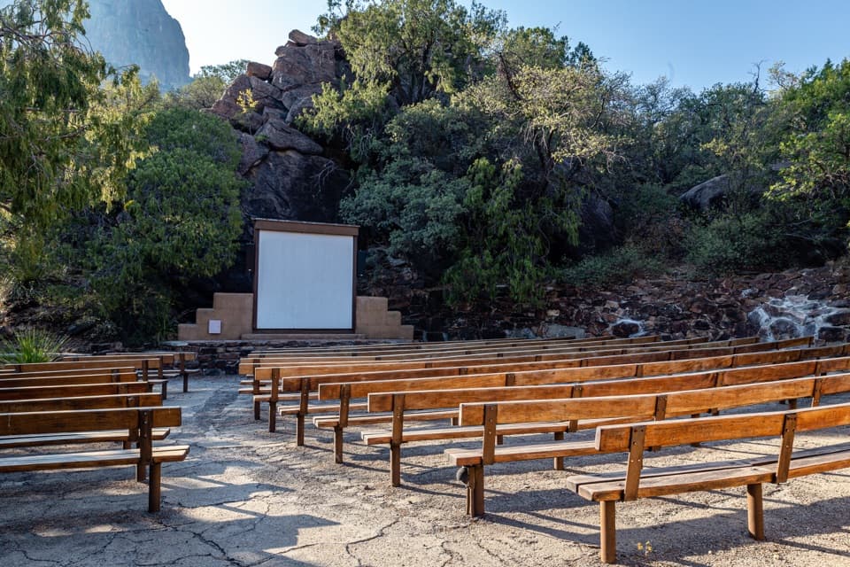 Sight · 0.3 mi awayChisos Basin AmphitheaterRanger talks bring local stories to a stone stage outdoors.
 Campground · 0.4 mi awayChisos Basin CampgroundHigh-country camping for hikers; road and site size favor smaller rigs.
 Scenic pullout · 1.4 mi awayTree Zone ExhibitStand under an oak where desert plants meet mountain woodland.Sight · 1.7 mi awayEmory PeakA 10.5-mile round trip earns a 360-degree summit panorama.
Parkwolf’s Big Bend ranking

The audio tour guide for the drive, plus offline maps, trails, and wildlife heatmaps for when the signal drops.