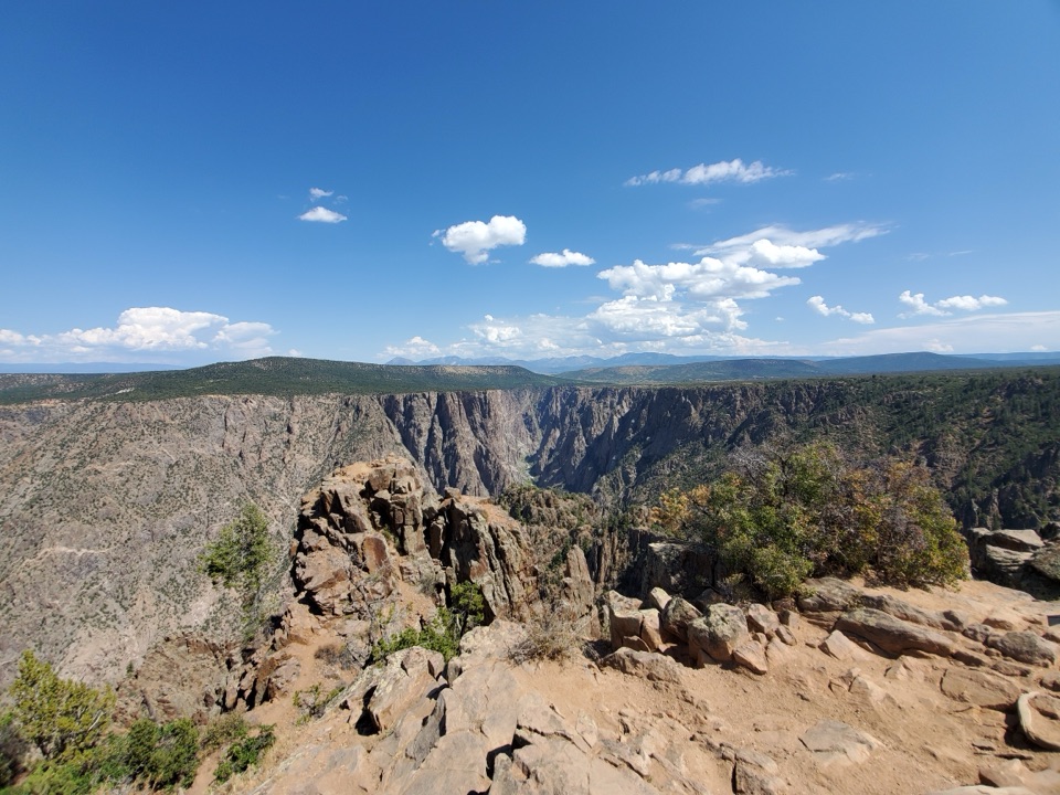
Parking
Park at Kneeling Camel Overlook on the North Rim, then walk east to the spur road and old Ranger Station where the service-road route begins.
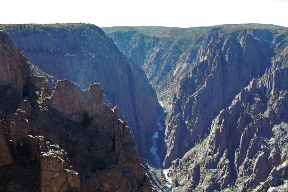
#10 of 13 trails in Black Canyon of the Gunnison
Black Canyon of the Gunnison National Park, CO
A North Rim hike with a stock pond and two canyon overlooks.
Overview
Map & elevation
Plan your hike

The highest, rockiest slopes around here are a summer buffet for grizzly bears.
Black Canyon of the Gunnison Tour Guide
Parkwolf is a GPS audio tour guide for Black Canyon of the Gunnison National Park. As you drive, it chimes in with what’s ahead: hidden gems, upcoming stops, history, geology, and wildlife, right through your car’s speakers.
Recorded for this trailhead
Kneeling Camel Overlook and Deadhorse Trail“Kneeling Camel Overlook is coming up, with a rock profile that looks like a camel resting above the canyon. You can enjoy the steep-walled view beside the parking area with almost no walking.”
Plays as you drive up to this trailhead in the Parkwolf Black Canyon of the Gunnison Tour Guide.
More stories near here in the app
“Fantastic app with many points of information… It’s great to just turn on while you’re driving and it gives you an audio tour of the national Park. We love it!!!!”


Trail guide
Deadhorse Trail with Loop is a 6.6-mile out-and-back from Kneeling Camel Overlook, with the Overlook Loop folded into the hike. The main route is 2.6 miles one way along an old service road to the canyon rim; the loop adds two overlooks and turns it into a proper half-day walk. Allow about four hours for the walk and time at the views. It’s a good pick if you want a longer North Rim outing, but skip the loop if you’re watching the clock.
From the overlook parking, walk east to the spur road and old Ranger Station, where the old service road begins. About 0.75 mile in, it passes a stock pond fed by one of the springs near the rim. Around 1.2 miles, the Overlook Loop branches southwest. Finish it and continue on the main route toward the stock fence; from there, turn south and follow the fence about a quarter-mile to the rim.
The loop adds about 1.5 miles and passes two overlooks near the canyon edge. From the North Rim, the trail looks toward Deadhorse Gulch and East Portal on the Gunnison River. The park also calls out birding here. At the overlooks, keep a bit of the near rim in your photo to show the drop toward the river.
The route enters Black Canyon Wilderness and needs no permit, but pets aren’t allowed. The North Rim closes in winter, and this unpaved, narrow route isn’t wheelchair accessible. The park allows day-use horseback riding only on this trail. Poison Spring Hill north of the stock fence is private property; stay on the described route. If you skip the loop, the 2.6-mile one-way trail makes a roughly 5.2-mile out-and-back.
Wildlife
 49 sightingsBighorn SheepMost seen around 7 AMSighting map
 67 sightingsMule DeerMost seen around 7 AMSighting map
 11 sightingsRed-tailed HawkMost seen around 10 AMSighting map
 10 sightingsCooper's HawkMost seen around 7 AMSighting map
 66 sightingsCollared LizardMost seen around 11 AMSighting map
 163 sightingsFence LizardMost seen around 10 AMSighting map
Sighting maps show where each species has been reported across Black Canyon of the Gunnison. Wildlife moves, so no sighting is guaranteed.
Keep exploring
ModerateDeadhorse Trail5.2 mi · 3 hr · At the trailheadAn old service road ends above Deadhorse Gulch.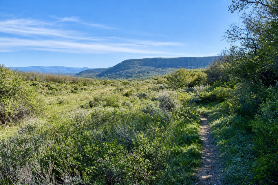 ModerateUplands Trail0.9 mi · 36 min · 0.8 mi awayA short upland connector, not a canyon-rim walk.
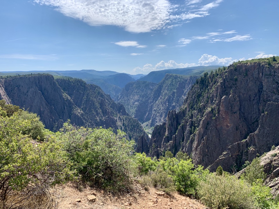 ModerateRim Rock Trail1 mi · 45 min · 1.3 mi awayOne mile on the rim links the visitor center and campground.
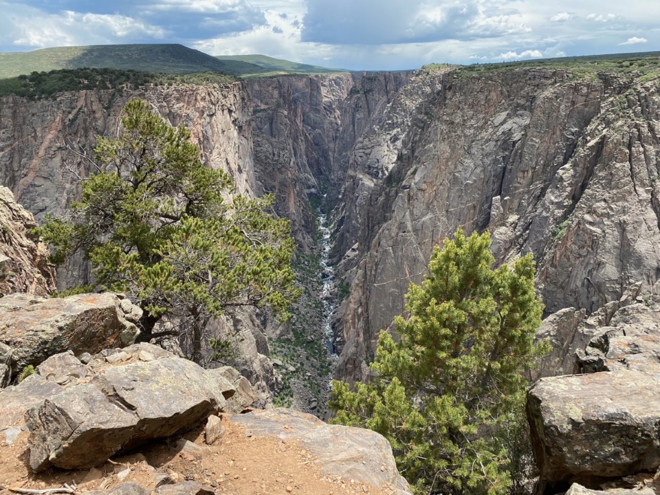 ModerateNorth Vista Trail (to Exclamation Point)2.9 mi · 1.8 hr · 2.3 mi awaySage and juniper lead to an unrailed view of the river bend.
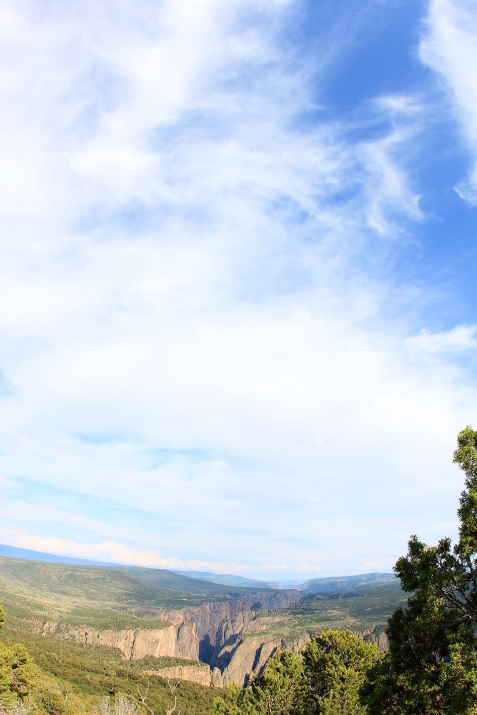 ChallengingNorth Vista Trail to Green Mountain6.4 mi · 3.5 hr · 2.3 mi awayA long climb earns a canyon panorama and views of four ranges.
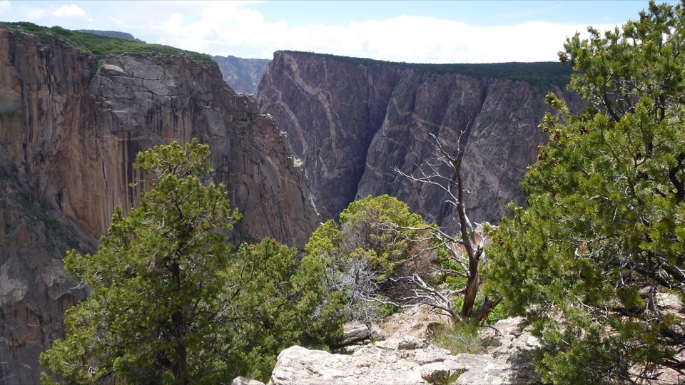 ModerateChasm View Nature Trail0.5 mi · 30 min · 2.3 mi awayA short woodland loop reaches two very different canyon views.
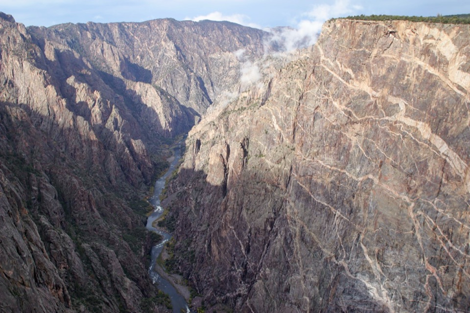 EasyCedar Point Nature Trail0.4 mi · 30 min · 2.5 mi awayPlant signs on the way to two canyon overlooks.
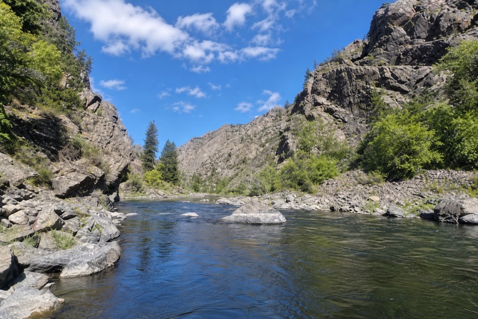 EasyEast Portal Trail0.8 mi · 45 min · 2.8 mi awayA short, rough river walk between steep canyon wallsSight · At the trailheadKneeling Camel OverlookPick out a camel-shaped rock above a quick, steep canyon view.
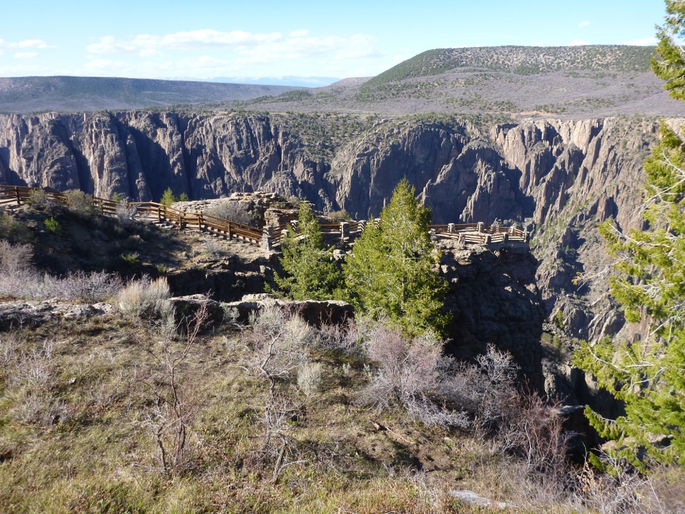 Sight · 0.6 mi awayGunnison Point OverlookA quick first look into the canyon's dark, jagged walls.
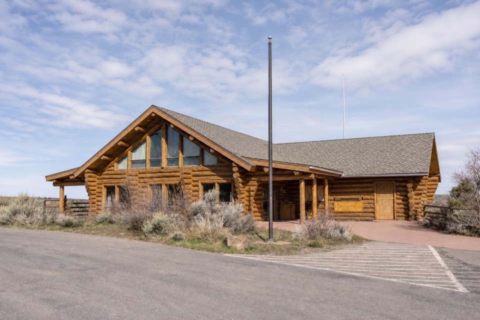 Visitor center · 0.7 mi awaySouth Rim Visitor CenterStart here for ranger advice, canyon context, and a quick view.
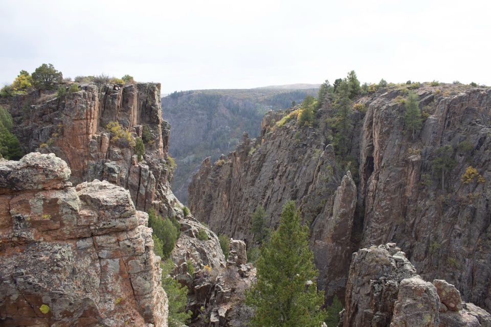 Sight · 0.8 mi awayIsland Peaks OverlookA short walk brings the fractured Island Peaks into view.
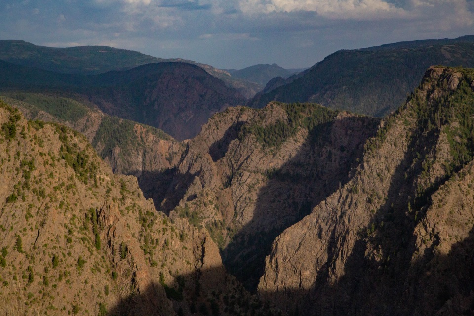 Sight · 0.9 mi awayTomichi OverlookAn easy first look down the canyon before the drive gets dramatic.
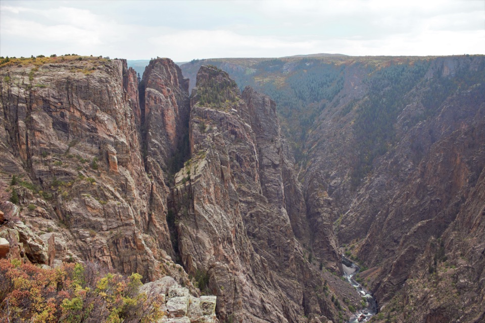 Sight · 1.2 mi awayBig Island OverlookA canyon view of Big Island and the river, steps from parking.
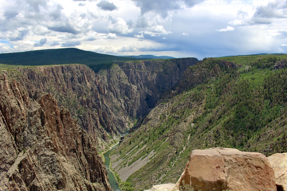 Sight · 1.2 mi awayPulpit Rock OverlookStep onto a natural ledge above the Gunnison River.
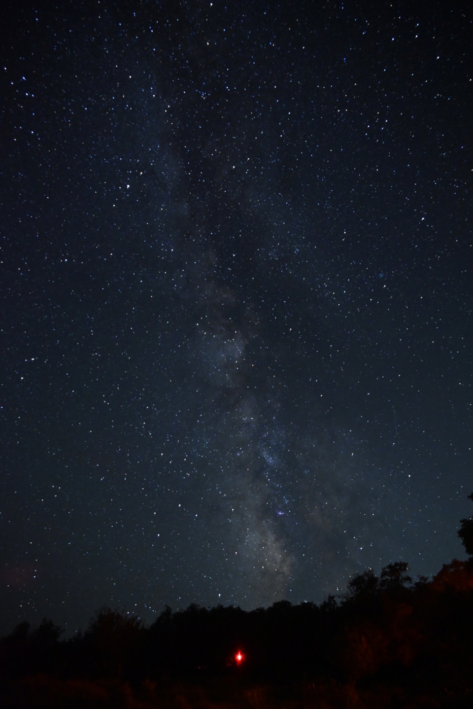 Campground · 1.4 mi awaySouth Rim CampgroundA high-elevation base one mile from the South Rim Visitor Center.
Parkwolf’s Black Canyon of the Gunnison ranking

The audio tour guide for the drive, plus offline maps, trails, and wildlife heatmaps for when the signal drops.