Parking
The trailhead is near the entrance to South Rim Campground Loop C; the other end is the South Rim Visitor Center. Arrange a return ride or walk the same trail back.
#6 of 13 trails in Black Canyon of the Gunnison
Black Canyon of the Gunnison National Park, CO
One mile on the rim links the visitor center and campground.
Overview
Map & elevation
Plan your hike

The highest, rockiest slopes around here are a summer buffet for grizzly bears.
Black Canyon of the Gunnison Tour Guide
Parkwolf is a GPS audio tour guide for Black Canyon of the Gunnison National Park. As you drive, it chimes in with what’s ahead: hidden gems, upcoming stops, history, geology, and wildlife, right through your car’s speakers.
Recorded for this trailhead
Rim Rock Trail from South Rim Campground“Rim Rock Trail is coming up, with its campground entrance near Loop C of South Rim Campground. It's a useful walk to the visitor center, following the rim past Tomichi Point with glimpses of the river below.”
Plays as you drive up to this trailhead in the Parkwolf Black Canyon of the Gunnison Tour Guide.
More stories near here in the app
“Fantastic app with many points of information… It’s great to just turn on while you’re driving and it gives you an audio tour of the national Park. We love it!!!!”


Trail guide
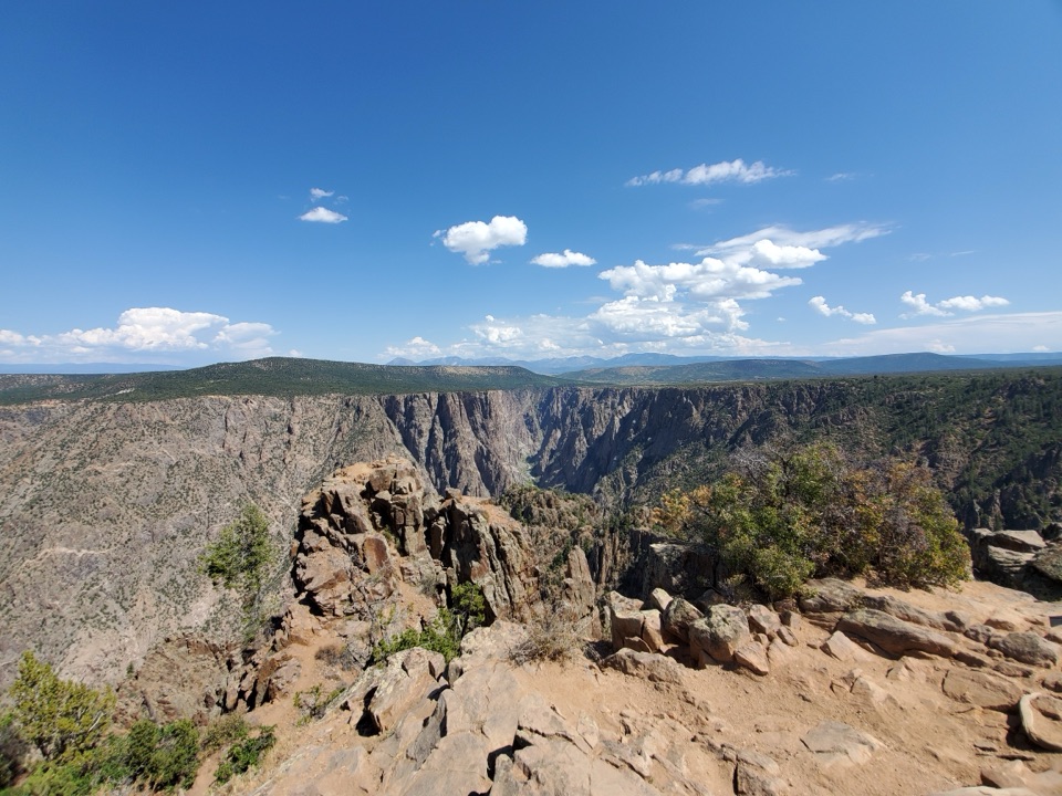
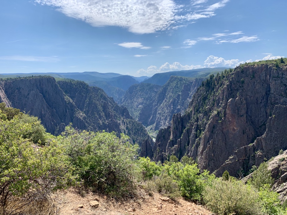
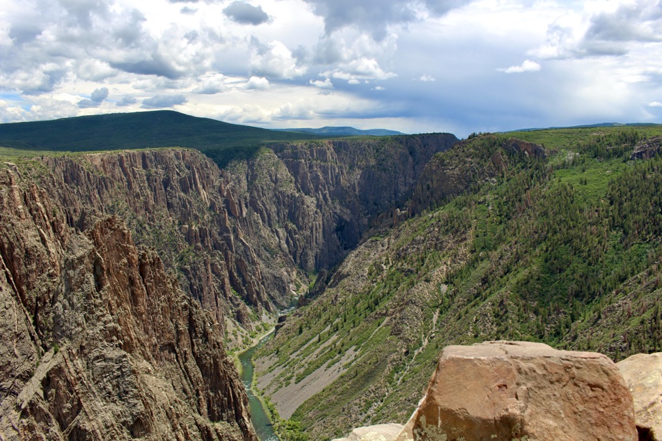
Rim Rock Trail is a one-mile point-to-point walk from near South Rim Campground Loop C to the South Rim Visitor Center. It meanders along the canyon rim, with glimpses of the Gunnison River and views toward the West Elk Mountains. It works well as a campground-to-visitor-center connection or a short canyon walk. Allow about 45 minutes one way; walking back makes it two miles, around an hour and a half with a stop.
Tomichi Point is a resting spot and canyon overlook along the way. Look for the sheer canyon walls and, from some openings, the river far below. If you take a photo, include the river when it is visible; it gives the canyon walls a useful sense of scale.
The route stays on the rim and is fairly level overall, but it has some stairs and uneven, unpaved stretches. It is not wheelchair accessible. This is a short walk, not a descent into the canyon; the longer Uplands route is a separate trail.
The trailhead is near the entrance to Campground Loop C and the route ends at the Visitor Center. No reservation or separate trail fee is required, though park admission may apply. Leashed dogs are allowed on a leash no longer than six feet, except in summer when they are prohibited because deer may protect fawns. The park's drinking water is unavailable from late fall through mid-spring, and no on-trail refill is listed.
Wildlife
 49 sightingsBighorn SheepMost seen around 7 AMSighting map
 67 sightingsMule DeerMost seen around 7 AMSighting map
 11 sightingsRed-tailed HawkMost seen around 10 AMSighting map
 10 sightingsCooper's HawkMost seen around 7 AMSighting map
 66 sightingsCollared LizardMost seen around 11 AMSighting map
 163 sightingsFence LizardMost seen around 10 AMSighting map
Sighting maps show where each species has been reported across Black Canyon of the Gunnison. Wildlife moves, so no sighting is guaranteed.
Keep exploring
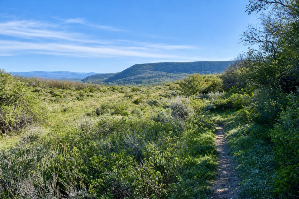 ModerateUplands Trail0.9 mi · 36 min · 0.7 mi awayA short upland connector, not a canyon-rim walk.
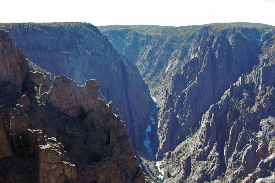 ModerateDeadhorse Trail5.2 mi · 3 hr · 1.3 mi awayAn old service road ends above Deadhorse Gulch.ModerateDeadhorse Trail with Loop6.6 mi · 4 hr · 1.3 mi awayA North Rim hike with a stock pond and two canyon overlooks.
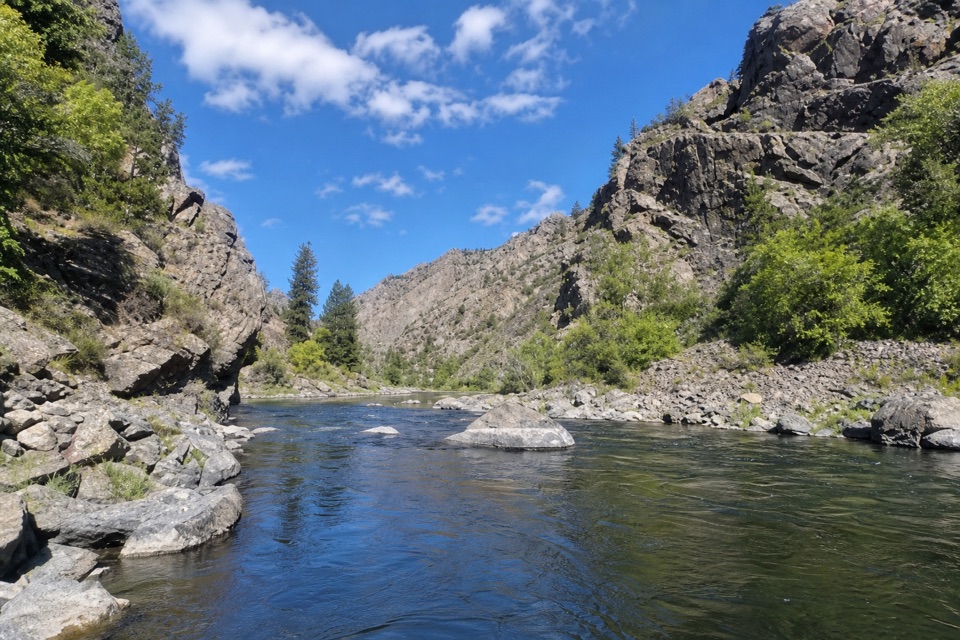 EasyEast Portal Trail0.8 mi · 45 min · 2.4 mi awayA short, rough river walk between steep canyon walls
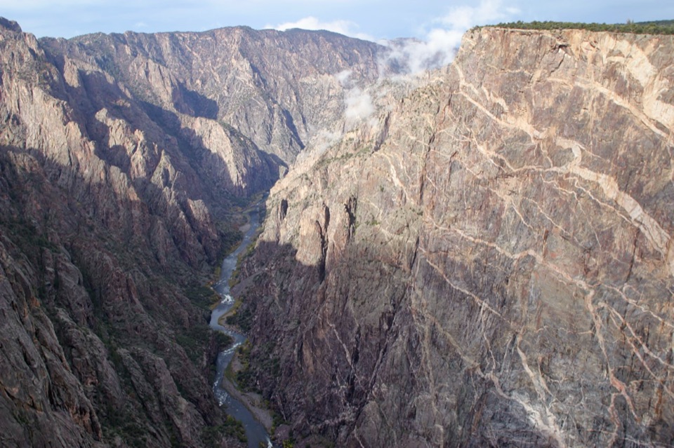 EasyCedar Point Nature Trail0.4 mi · 30 min · 2.8 mi awayPlant signs on the way to two canyon overlooks.
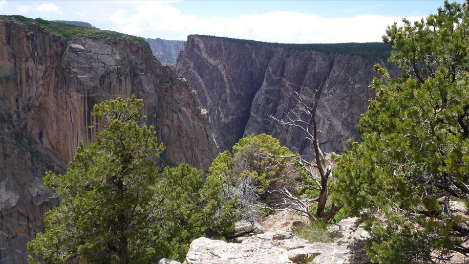 ModerateChasm View Nature Trail0.5 mi · 30 min · 3 mi awayA short woodland loop reaches two very different canyon views.
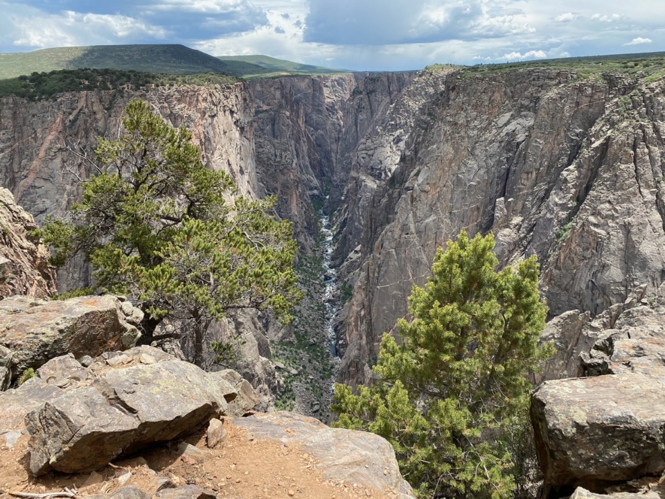 ModerateNorth Vista Trail (to Exclamation Point)2.9 mi · 1.8 hr · 3 mi awaySage and juniper lead to an unrailed view of the river bend.
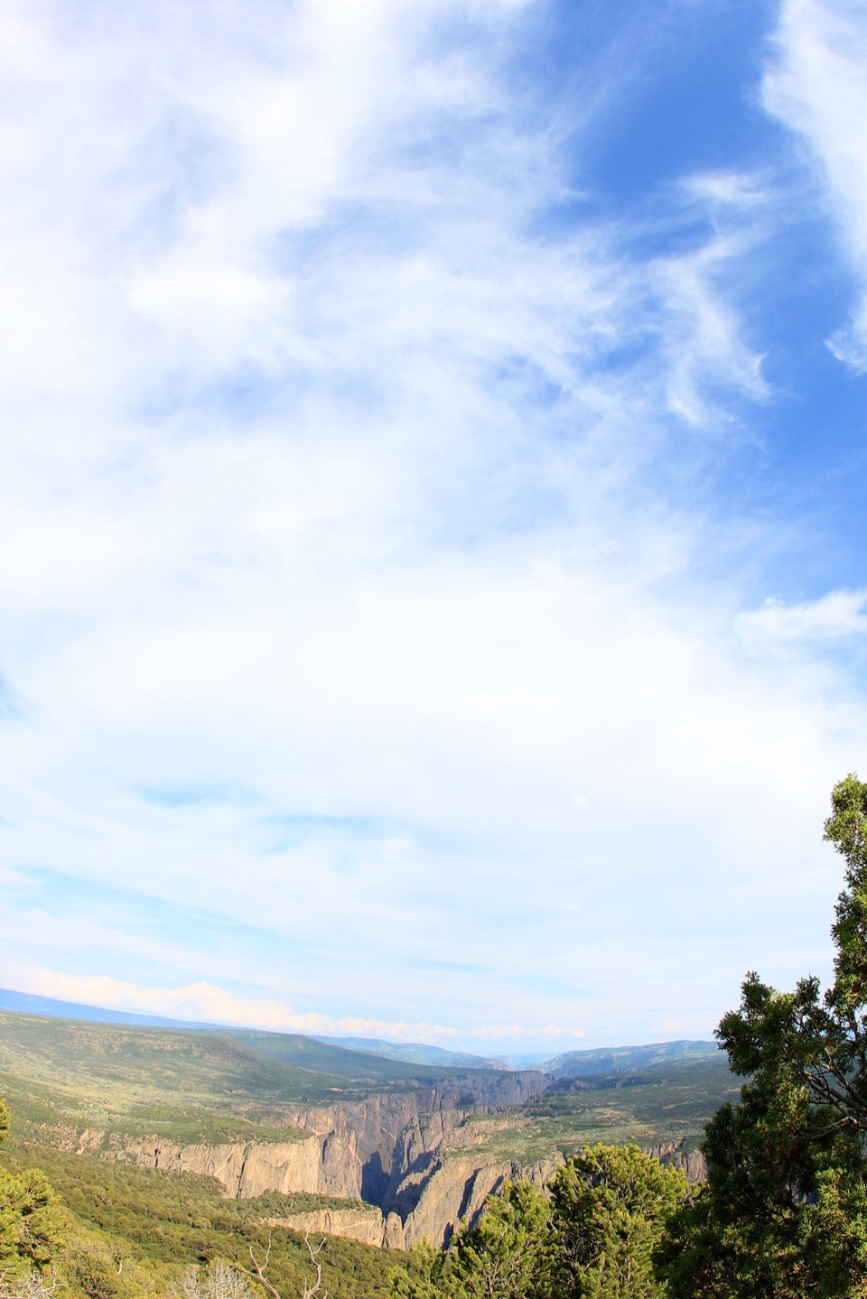 ChallengingNorth Vista Trail to Green Mountain6.4 mi · 3.5 hr · 3.1 mi awayA long climb earns a canyon panorama and views of four ranges.
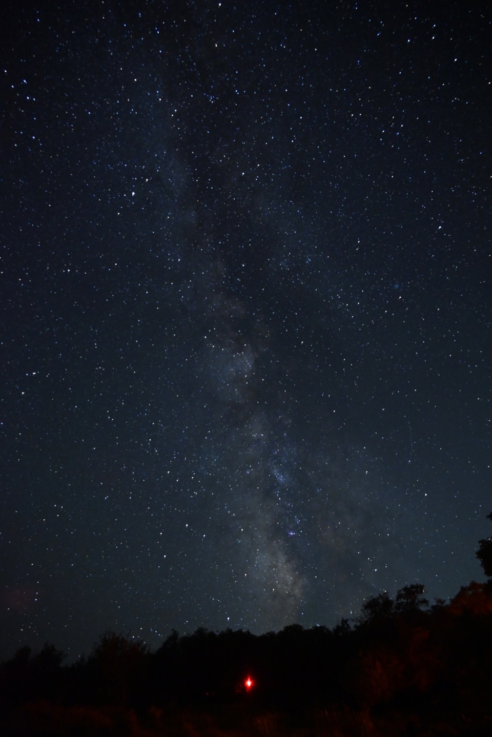 Campground · 0.1 mi awaySouth Rim CampgroundA high-elevation base one mile from the South Rim Visitor Center.
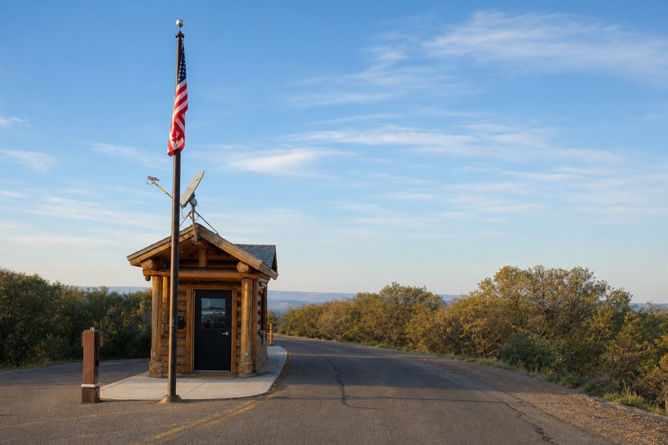 Entrance station · 0.4 mi awaySouth Rim Entrance StationSort your park pass here before the South Rim drive.
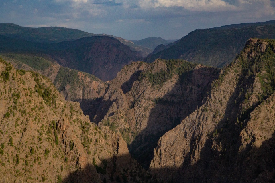 Sight · 0.4 mi awayTomichi OverlookAn easy first look down the canyon before the drive gets dramatic.
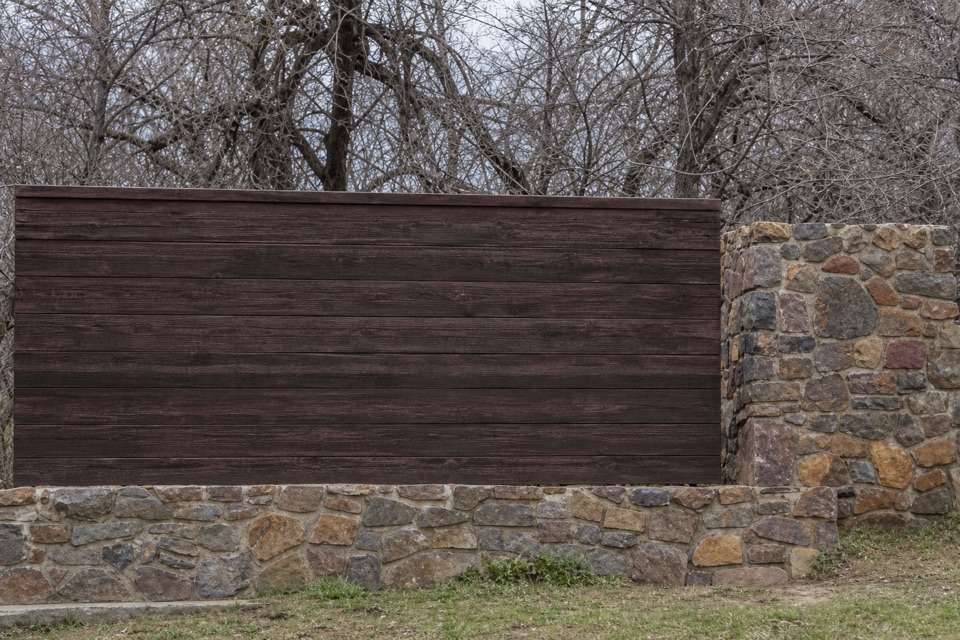 Sight · 0.6 mi awayBlack Canyon of the Gunnison National Park Entrance Sign (South Rim)A wood-and-stone welcome sign on the South Rim approach.
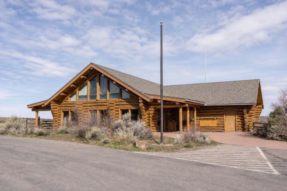 Visitor center · 0.7 mi awaySouth Rim Visitor CenterStart here for ranger advice, canyon context, and a quick view.
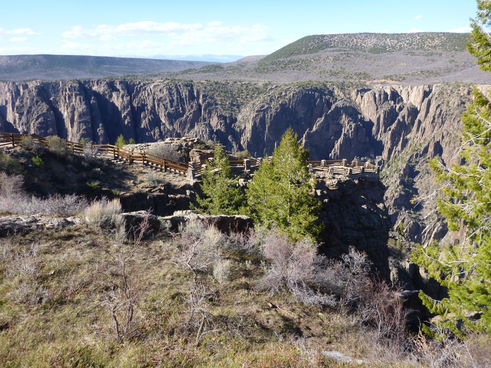 Sight · 0.8 mi awayGunnison Point OverlookA quick first look into the canyon's dark, jagged walls.Sight · 1.3 mi awayKneeling Camel OverlookPick out a camel-shaped rock above a quick, steep canyon view.
 Sight · 1.5 mi awayPulpit Rock OverlookStep onto a natural ledge above the Gunnison River.
Parkwolf’s Black Canyon of the Gunnison ranking

The audio tour guide for the drive, plus offline maps, trails, and wildlife heatmaps for when the signal drops.