Parking
High Point Parking is at the end of South Rim Drive. No reservation or separate activity fee is required; the park entrance fee may apply.
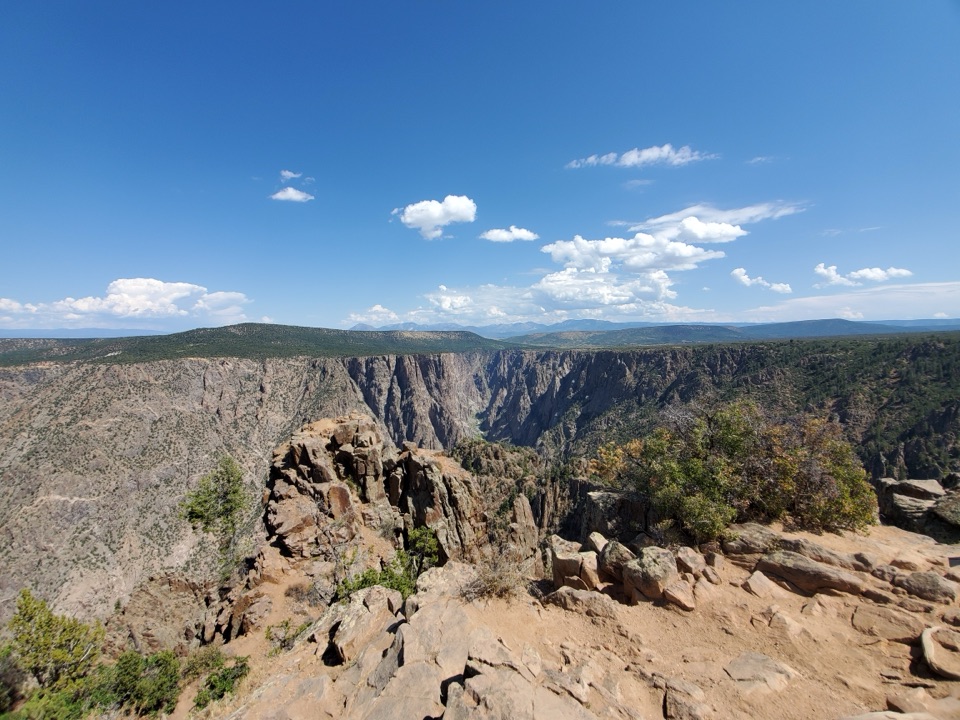
#2 of 13 trails in Black Canyon of the Gunnison
Black Canyon of the Gunnison National Park, CO
The river is a long way below this short rim walk.
Overview
Map & elevation
Plan your hike

The highest, rockiest slopes around here are a summer buffet for grizzly bears.
Black Canyon of the Gunnison Tour Guide
Parkwolf is a GPS audio tour guide for Black Canyon of the Gunnison National Park. As you drive, it chimes in with what’s ahead: hidden gems, upcoming stops, history, geology, and wildlife, right through your car’s speakers.
Recorded for this trailhead
High Point and Warner Point Trail“Ahead is High Point, with a roadside canyon view and the start of Warner Point Trail.”
Plays as you drive up to this trailhead in the Parkwolf Black Canyon of the Gunnison Tour Guide.
More stories near here in the app
“Fantastic app with many points of information… It’s great to just turn on while you’re driving and it gives you an audio tour of the national Park. We love it!!!!”


Trail guide
Warner Point Trail is a 1.6-mile out-and-back from High Point Parking along the high South Rim to Warner Point. The unpaved path rolls through pinyon pine, juniper and mountain mahogany, with shaded benches and openings toward distant ranges before ending above the Gunnison River. Published one-way figures round between 0.75 and 0.8 mile; the mapped tread is about 0.77 mile, so 1.6 miles is a realistic total. Allow about an hour. The short distance still includes steep pitches at more than 8,000 feet, so come for the walk and canyon setting, not only a quick viewpoint photo.
Near marker 13, a signed branch leaves for the Warner Route, a separate descent into the canyon: 2.75 miles one way with about 2,722 feet of vertical drop. For Warner Point, stay on the nature trail to its overlook, then retrace your steps to High Point. Ask for the nature-trail guide at High Point Overlook or the South Rim Visitor Center; its numbered stops give the short walk more context.
Openings to the south look toward the San Juan Range, Uncompahgre Valley and Bostwick Park; turn north for the West Elk Mountains. At the end, the canyon narrows into a steep drop toward the Gunnison River. For a photo, include some rim rock in front and the river low in the canyon; that gives the view a sense of scale. Some visitors find the overlook less dramatic than the park's roadside viewpoints, but the shaded walk and interpretive stops are part of the payoff.
The trail passes mountain mahogany, serviceberry, pinyon pine and juniper. Shaded benches make it easy to pause and look back toward the rim or out to the mountain ranges. The route is a nature walk as well as a way to reach the overlook; take time with the guide rather than treating the markers as a race to the end.
Just north of Warner Point is the canyon's deepest stretch, where the river lies 2,722 feet below the rim. At its narrowest, the river corridor pinches to about 40 feet across. The exposed walls include metamorphic rock about 1.8 billion years old. The region was uplifted around 60 million years ago, buried by volcanic deposits about 30 million years ago, then cut open by the Gunnison River beginning roughly two million years ago.
Reverend Mark Warner became an advocate for protecting the canyon after the Montrose Lions Club disbanded in 1932. He sent canyon photographs, maps and promotional material to Colorado's congressional representatives. President Herbert Hoover proclaimed the national monument on March 2, 1933.
Start at High Point Parking, at the end of South Rim Drive. No reservation or separate activity fee is required, though the park entrance fee may apply. Pets are not allowed. The trail is unpaved, steep in places and not wheelchair accessible. Park drinking water is unavailable from late fall through mid-spring.
Wildlife
 49 sightingsBighorn SheepMost seen around 7 AMSighting map
 67 sightingsMule DeerMost seen around 7 AMSighting map
 11 sightingsRed-tailed HawkMost seen around 10 AMSighting map
 10 sightingsCooper's HawkMost seen around 7 AMSighting map
 66 sightingsCollared LizardMost seen around 11 AMSighting map
 163 sightingsFence LizardMost seen around 10 AMSighting map
Sighting maps show where each species has been reported across Black Canyon of the Gunnison. Wildlife moves, so no sighting is guaranteed.
Keep exploring
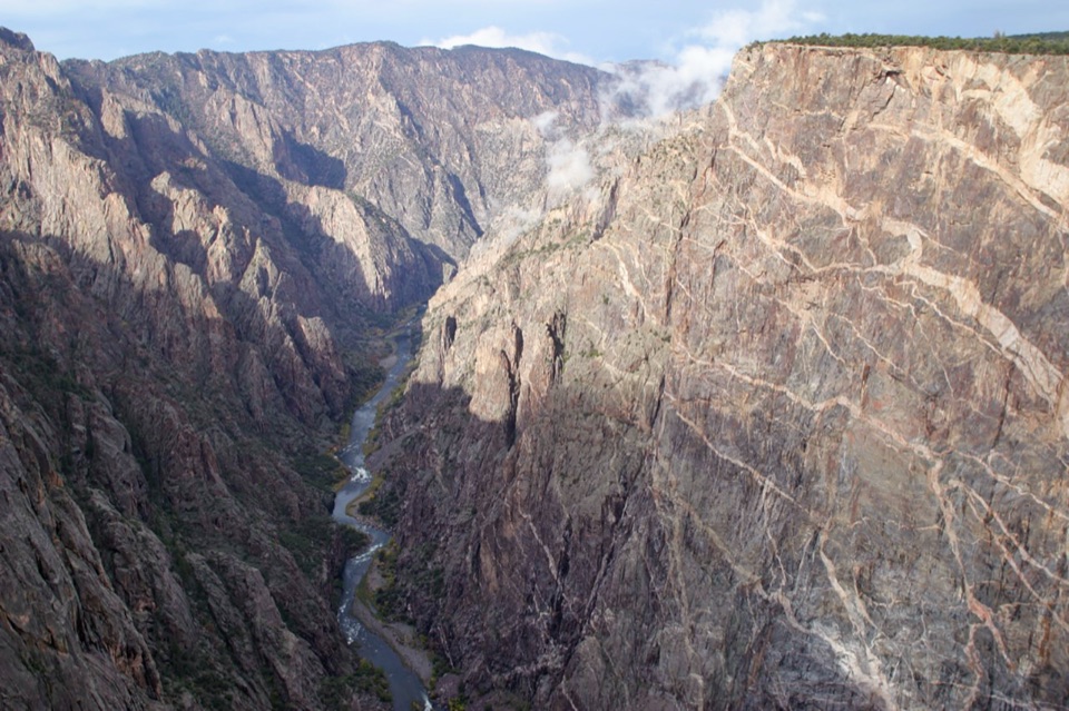 EasyCedar Point Nature Trail0.4 mi · 30 min · 1.5 mi awayPlant signs on the way to two canyon overlooks.
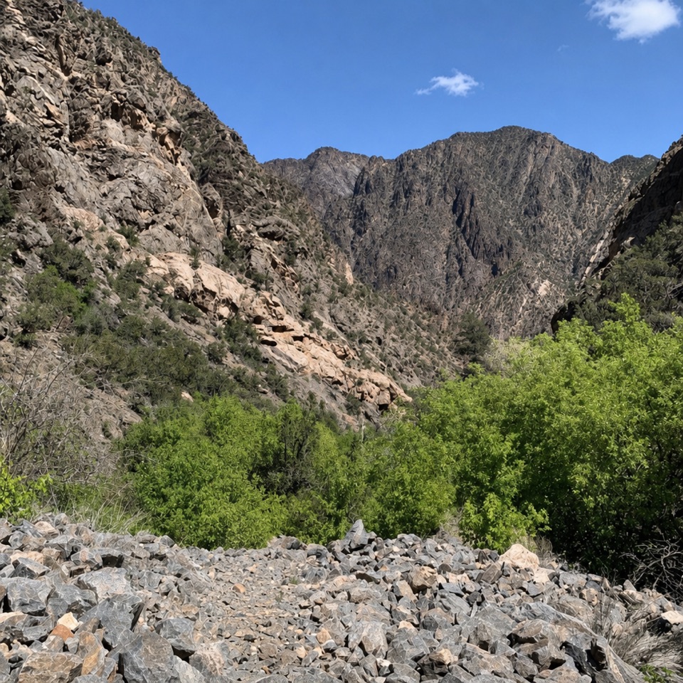 ChallengingRed Rock Canyon Route7 mi · 5.5 hr · 1.9 mi awayA permit-only descent through a rugged creek canyon to the river.
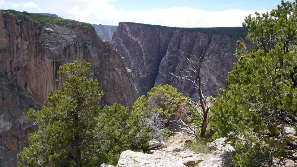 ModerateChasm View Nature Trail0.5 mi · 30 min · 2.4 mi awayA short woodland loop reaches two very different canyon views.
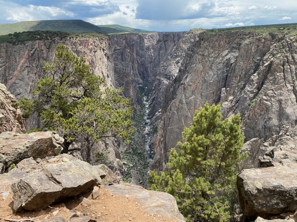 ModerateNorth Vista Trail (to Exclamation Point)2.9 mi · 1.8 hr · 2.6 mi awaySage and juniper lead to an unrailed view of the river bend.
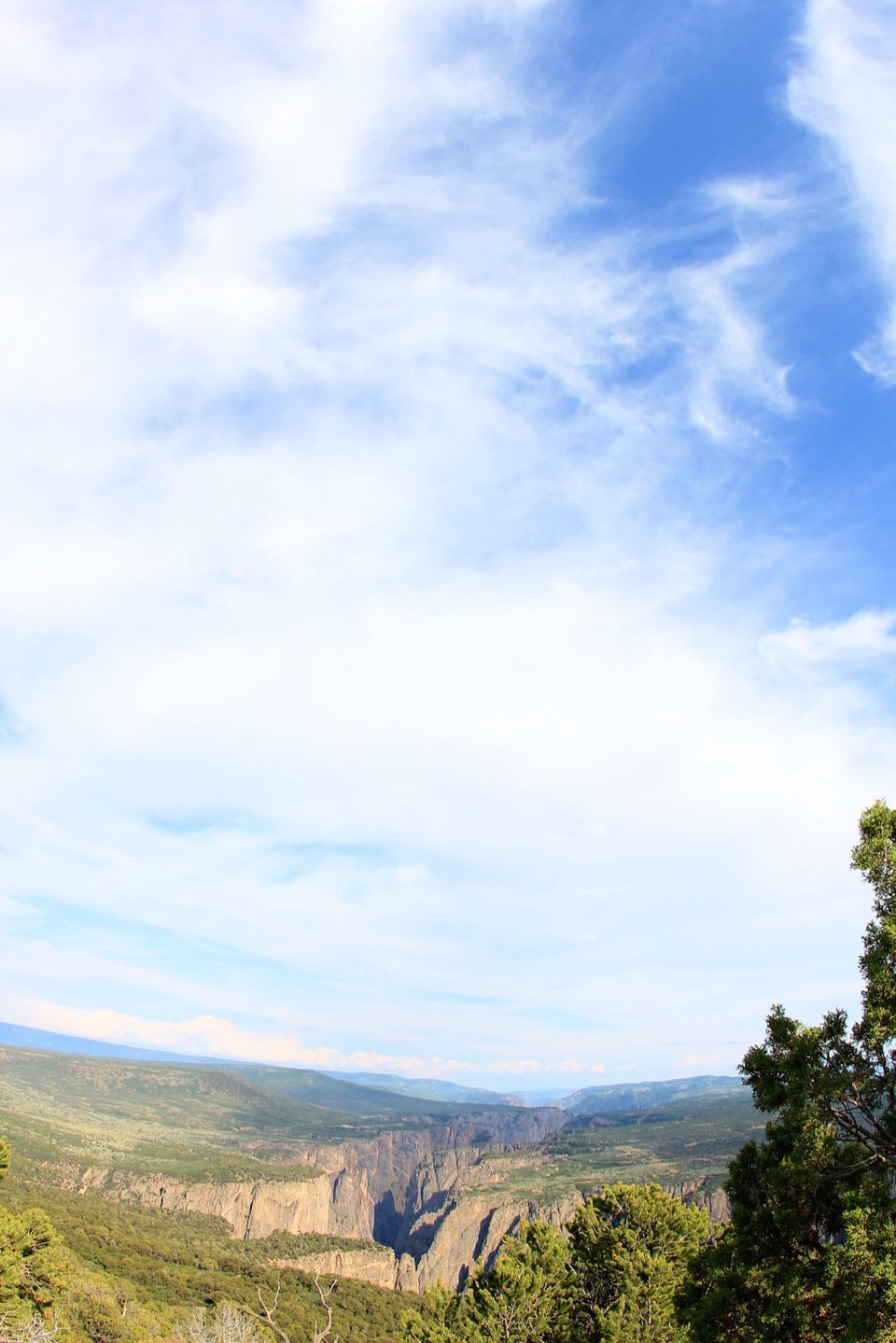 ChallengingNorth Vista Trail to Green Mountain6.4 mi · 3.5 hr · 2.6 mi awayA long climb earns a canyon panorama and views of four ranges.
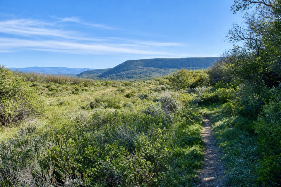 ModerateUplands Trail0.9 mi · 36 min · 2.9 mi awayA short upland connector, not a canyon-rim walk.
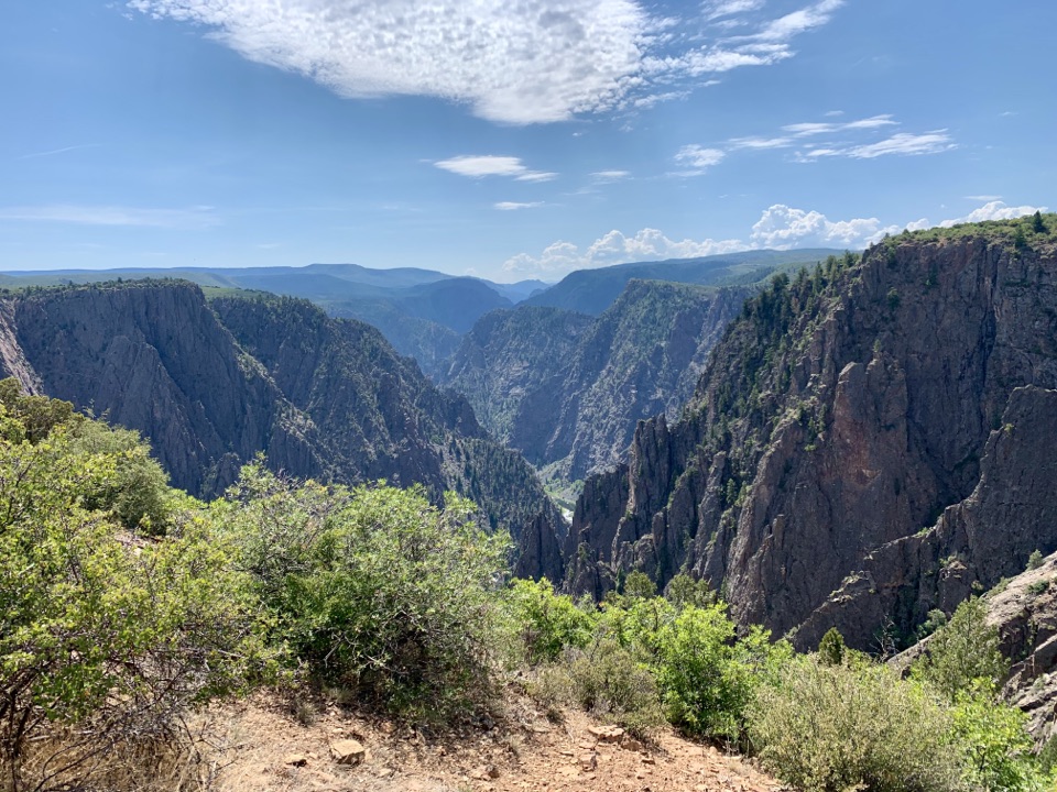 ModerateRim Rock Trail1 mi · 45 min · 3.1 mi awayOne mile on the rim links the visitor center and campground.
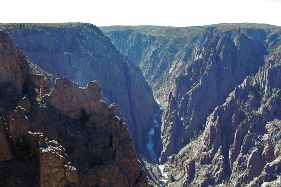 ModerateDeadhorse Trail5.2 mi · 3 hr · 3.5 mi awayAn old service road ends above Deadhorse Gulch.
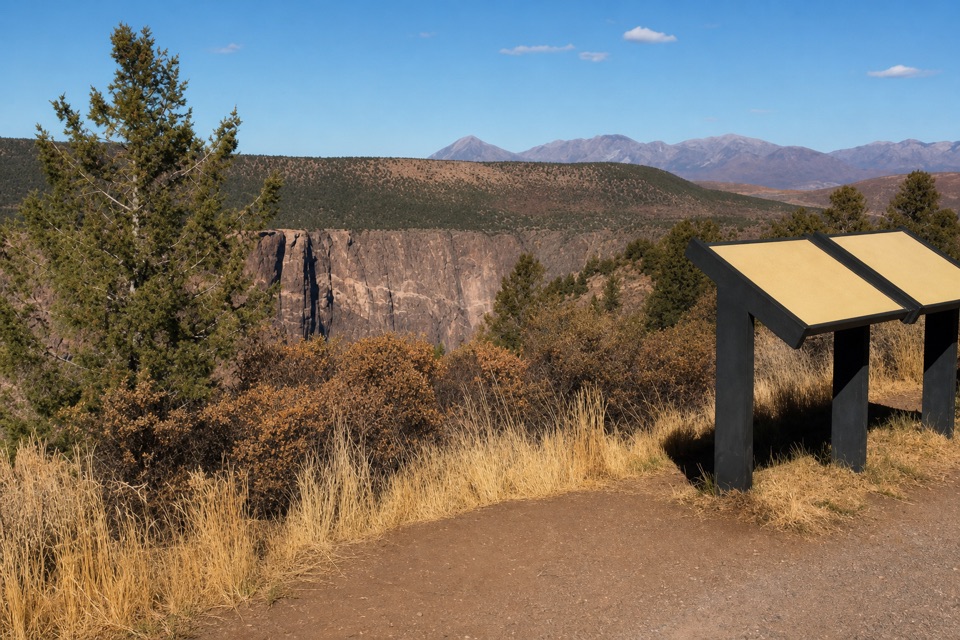 Sight · At the trailheadHigh Point OverlookThe last drive-up stop pairs canyon views with a picnic area.
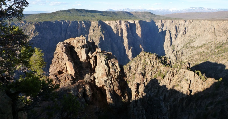 Sight · 0.6 mi awayWarner PointA canyon-and-river view after a 1.6-mile round-trip hike.
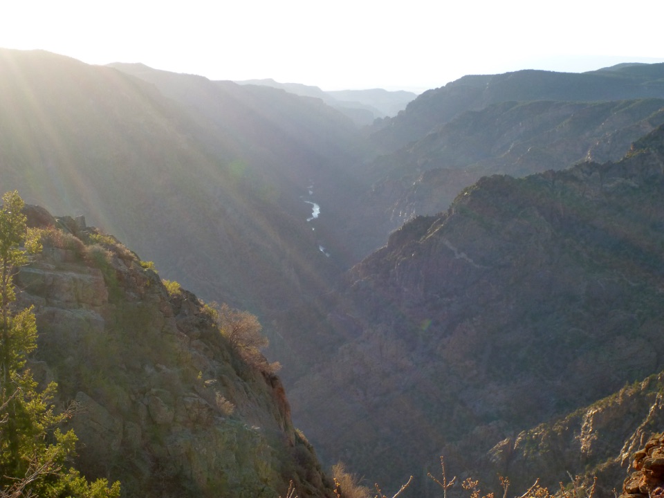 Sight · 0.7 mi awaySunset View OverlookAn easy overlook and picnic area on the South Rim Drive.
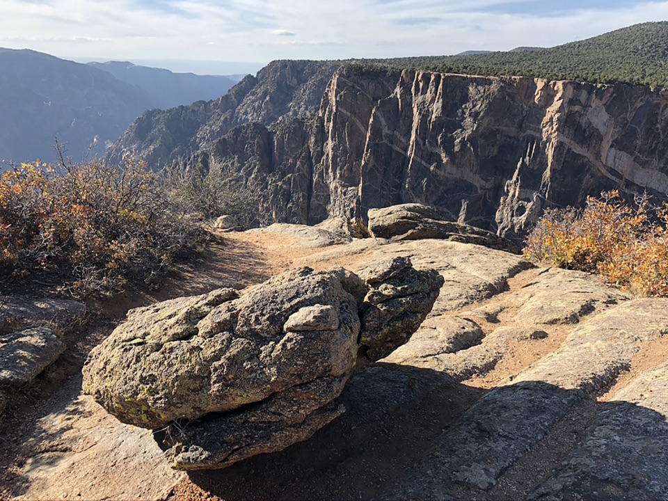 Sight · 1.2 mi awayDragon Point OverlookA west-facing overlook that makes sunset a smart time to stop.Sight · 1.4 mi awayCedar Point OverlookTwo rim stops frame the Gunnison River and Painted Wall.
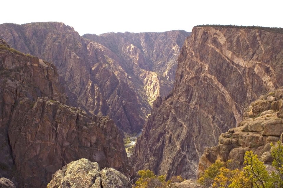 Sight · 1.8 mi awayPainted Wall OverlookA 2,250-foot cliff marked by pale pegmatite veins.
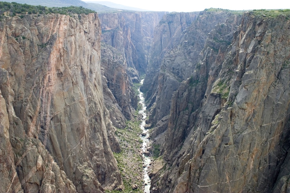 Sight · 2 mi awayChasm View Overlook (South Rim)A short walk to the Gunnison, 1,820 feet below.
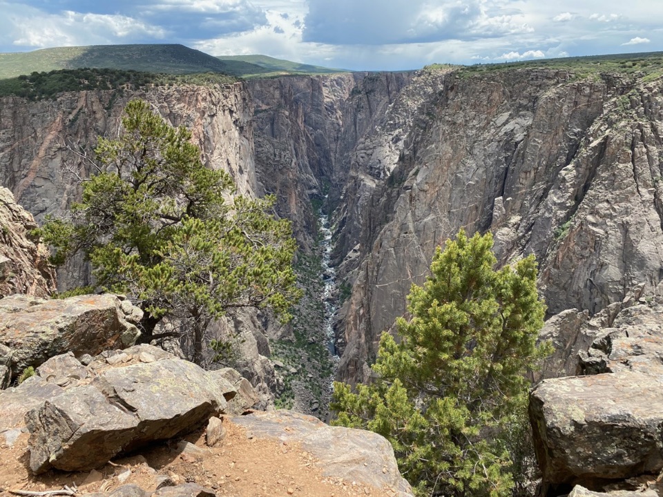 Sight · 2 mi awayExclamation PointA 1.6-mile hike each way to a close canyon view.
Parkwolf’s Black Canyon of the Gunnison ranking

The audio tour guide for the drive, plus offline maps, trails, and wildlife heatmaps for when the signal drops.