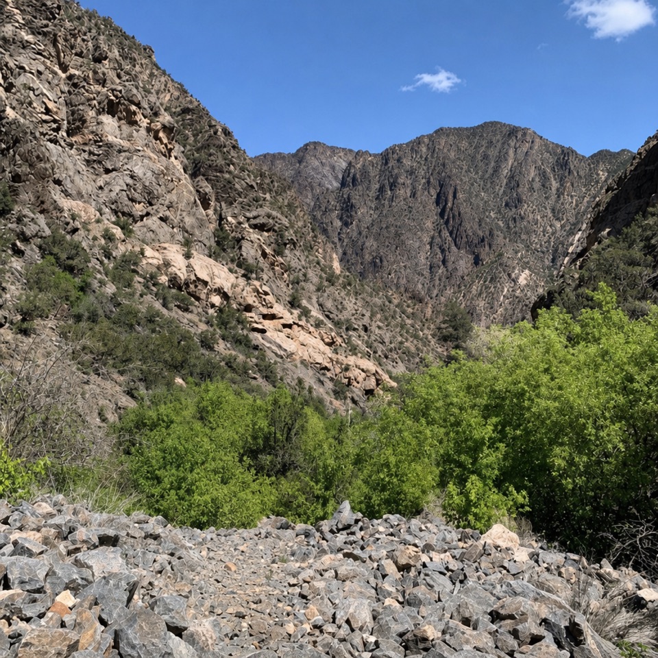
Parking
Start at the North Rim Ranger Station; the trailhead is at the station, with nearby restrooms. The approach road is unpaved and seasonal, typically closed to vehicles from mid-November until May.
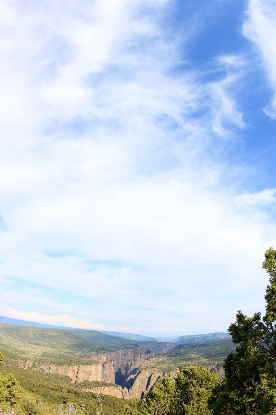
#3 of 13 trails in Black Canyon of the Gunnison
Black Canyon of the Gunnison National Park, CO
A long climb earns a canyon panorama and views of four ranges.
Overview
Map & elevation
Plan your hike

The highest, rockiest slopes around here are a summer buffet for grizzly bears.
Black Canyon of the Gunnison Tour Guide
Parkwolf is a GPS audio tour guide for Black Canyon of the Gunnison National Park. As you drive, it chimes in with what’s ahead: hidden gems, upcoming stops, history, geology, and wildlife, right through your car’s speakers.
Recorded for this trailhead
North Vista Trail to Exclamation Point“You're nearing the North Rim Ranger Station, the start of North Vista Trail to Exclamation Point and its view along a bend in the Gunnison.”
Plays as you drive up to this trailhead in the Parkwolf Black Canyon of the Gunnison Tour Guide.
More stories near here in the app
“Fantastic app with many points of information… It’s great to just turn on while you’re driving and it gives you an audio tour of the national Park. We love it!!!!”


Trail guide
North Vista Trail to Green Mountain is a 6.4-mile out-and-back from the North Rim Ranger Station to a summit above the Black Canyon. The route starts through sagebrush and oak, follows pinyon-juniper country along the rim, then climbs about 840 feet to Green Mountain. Allow around 3.5 hours before long viewpoint stops. This is a strenuous half-day for the summit panorama; the shorter Exclamation Point option turns around at 1.4 miles one way, about 2.8 miles round trip. The path is narrow and unpaved, and it isn't wheelchair accessible.
The newer North Rim trail map lists Green Mountain at 3.2 miles one way; an older published page still gives 3.6. The mapped path is about 3.3 miles out, so 6.4 miles round trip is a sensible planning figure with a little room for rounding.
Sagebrush and oak brush give way to pinyon and juniper as the trail follows the canyon rim. Around 0.8 mile in, North Vista Overlook opens above Pinyon Draw. The views continue along the way to Exclamation Point, where the canyon narrows around the Gunnison River roughly 1,870 feet below. There is no railing at the rim; stay well back from the edge.
Begin at the North Rim Ranger Station; the trailhead is at the station, with restrooms nearby. There is no water along the hike. Fill-up stations operate at the ranger station in summer, so bring your own outside that season. No reservation, permit, or trail activity fee is required, though the park entrance fee may apply. Pets aren't allowed. North Rim access is seasonal: the unpaved road usually closes to vehicles from mid-November until May, with dates varying by year.
Past Exclamation Point, continue on the North Vista route toward Green Mountain. Five switchbacks carry you up the final 840 feet; the steepest pitch comes near the upper turns. Much of this stretch is exposed to sun, so the climb can feel harder than the grade alone suggests. Summer afternoons can bring thunderstorms to this high, open ground. The return follows the same trail back to the ranger station.
At Green Mountain, look west down the Black Canyon, then out to the San Juan Mountains, West Elks, Grand Mesa, and Uncompahgre Plateau. The summit gives you an aerial angle on the canyon that you don't get from the lower rim overlooks. For a photo, keep some canyon wall in the foreground and the distant ranges in the same frame; that shows how the landscape steps away from the rim.
Volunteers for Outdoor Colorado built North Vista Trail. The route moves from open sage and oak into pinyon-juniper woodland, with canyon views and good birding along the way. The Gunnison River and natural forces have carved the Black Canyon over more than two million years; from Green Mountain, you can see that depth and the surrounding plateau country at once.
Wildlife
 49 sightingsBighorn SheepMost seen around 7 AMSighting map
 67 sightingsMule DeerMost seen around 7 AMSighting map
 11 sightingsRed-tailed HawkMost seen around 10 AMSighting map
 10 sightingsCooper's HawkMost seen around 7 AMSighting map
 66 sightingsCollared LizardMost seen around 11 AMSighting map
 163 sightingsFence LizardMost seen around 10 AMSighting map
Sighting maps show where each species has been reported across Black Canyon of the Gunnison. Wildlife moves, so no sighting is guaranteed.
Keep exploring
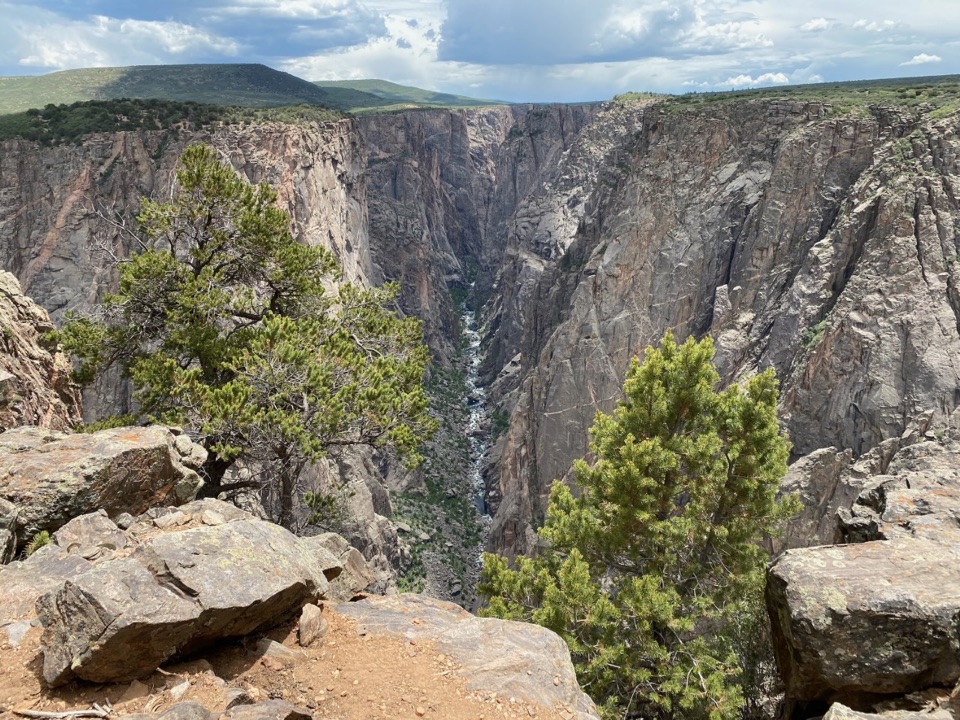 ModerateNorth Vista Trail (to Exclamation Point)2.9 mi · 1.8 hr · At the trailheadSage and juniper lead to an unrailed view of the river bend.
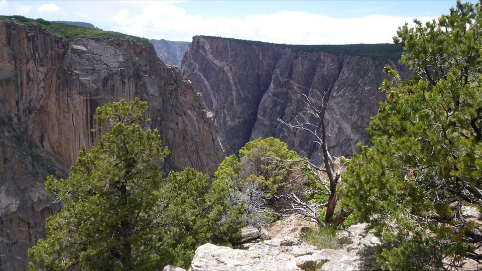 ModerateChasm View Nature Trail0.5 mi · 30 min · 0.3 mi awayA short woodland loop reaches two very different canyon views.
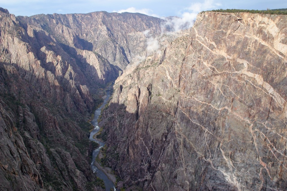 EasyCedar Point Nature Trail0.4 mi · 30 min · 1.1 mi awayPlant signs on the way to two canyon overlooks.
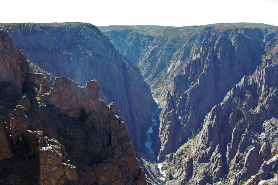 ModerateDeadhorse Trail5.2 mi · 3 hr · 2.3 mi awayAn old service road ends above Deadhorse Gulch.ModerateDeadhorse Trail with Loop6.6 mi · 4 hr · 2.3 mi awayA North Rim hike with a stock pond and two canyon overlooks.
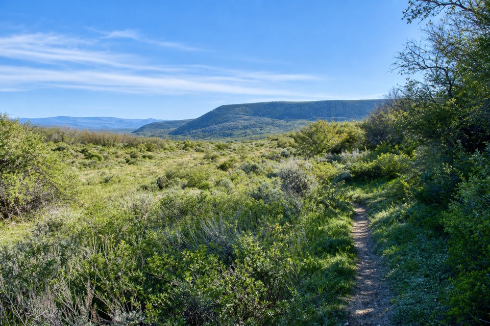 ModerateUplands Trail0.9 mi · 36 min · 2.4 mi awayA short upland connector, not a canyon-rim walk.
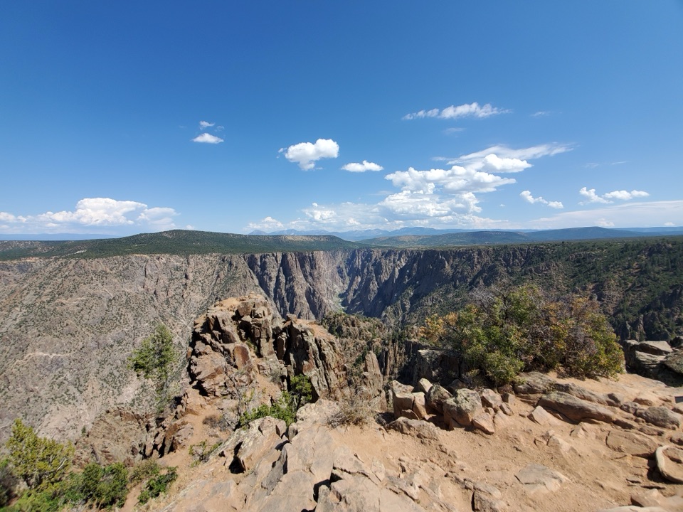 ModerateWarner Point Trail1.6 mi · 1 hr · 2.6 mi awayThe river is a long way below this short rim walk.
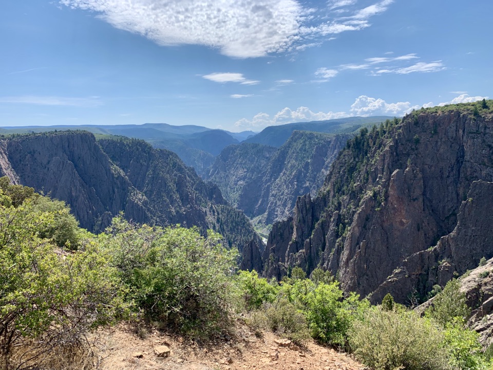 ModerateRim Rock Trail1 mi · 45 min · 3.1 mi awayOne mile on the rim links the visitor center and campground.
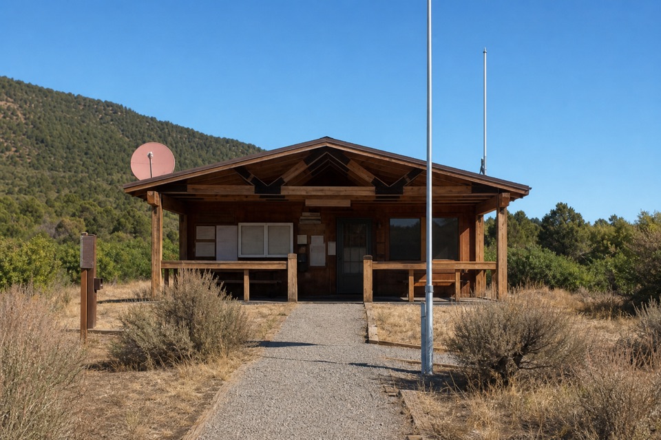 Ranger station · At the trailheadNorth Rim Ranger StationFee and permit kiosks sit beside the North Vista trailhead.
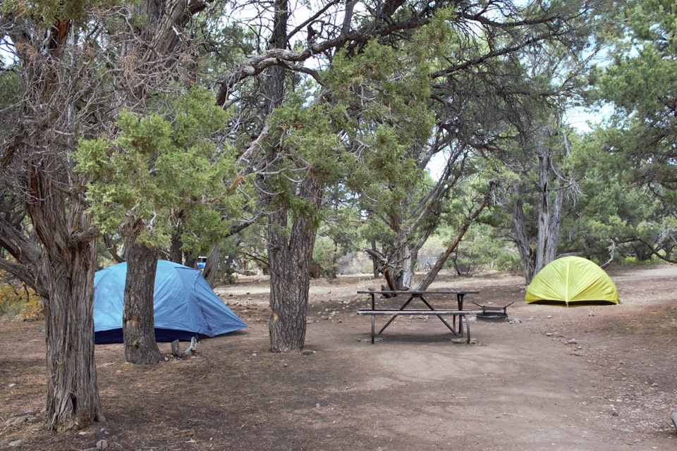 Campground · 0.3 mi awayNorth Rim CampgroundA remote North Rim campground beside the short Chasm View loop.
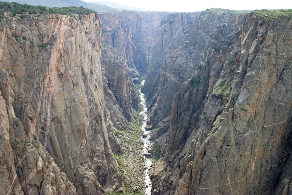 Sight · 0.4 mi awayNorth Chasm ViewThe canyon narrows to 40 feet at the river below.
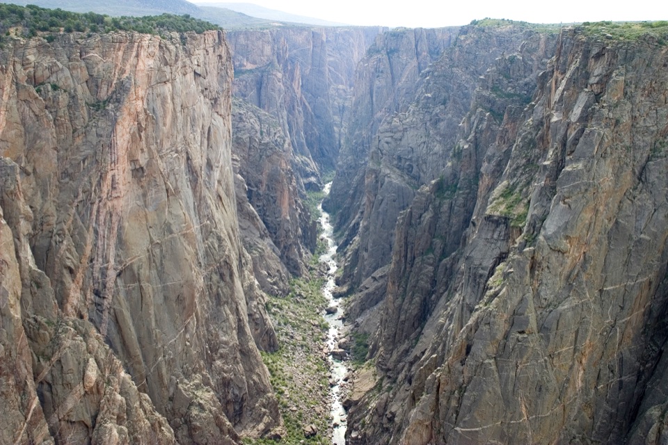 Sight · 0.6 mi awayChasm View Overlook (South Rim)A short walk to the Gunnison, 1,820 feet below.
 Sight · 0.7 mi awayNarrows OverlookSee where the canyon narrows to 40 feet at the river.
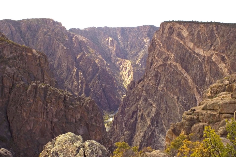 Sight · 0.8 mi awayPainted Wall OverlookA 2,250-foot cliff marked by pale pegmatite veins.
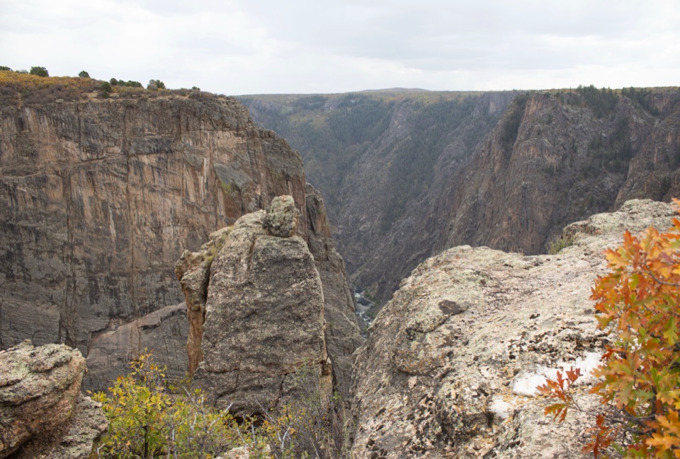 Sight · 0.9 mi awayBalanced Rock OverlookA short walk to a balanced boulder above the river.
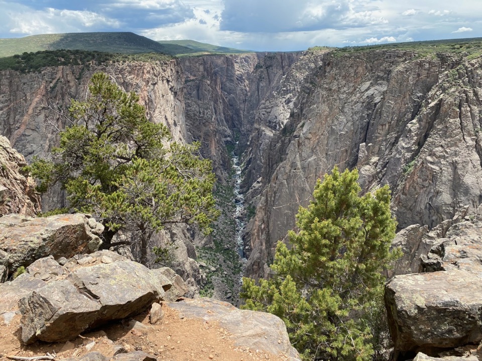 Sight · 0.9 mi awayExclamation PointA 1.6-mile hike each way to a close canyon view.
Parkwolf’s Black Canyon of the Gunnison ranking

The audio tour guide for the drive, plus offline maps, trails, and wildlife heatmaps for when the signal drops.