
Place · 0 mi away
Challenging
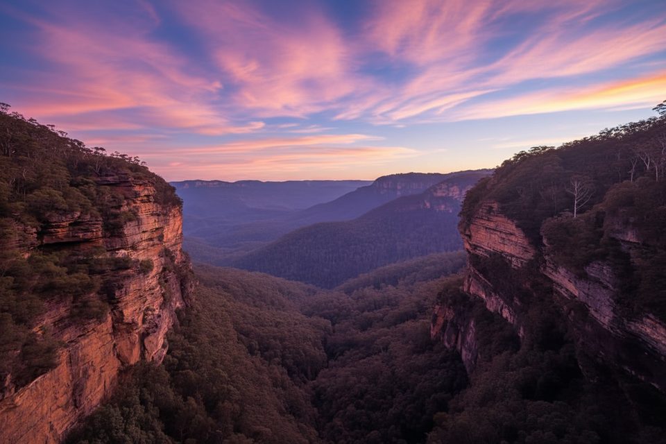
If you crave a wild Blue Mountains waterfall mission with real solitude, Hippocrene Falls Track delivers. This rough Grade 5 bushwalk drops deep into the Jamison Valley to Hippocrene Falls and nearby Vera Falls, weaving along Jamison Creek through temperate rainforest and past historic stonework. Expect a strenuous outing: the full circuit is about 5.8 miles (9.3 km) with 5–6 hours of steady effort.
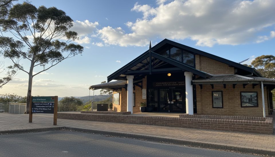
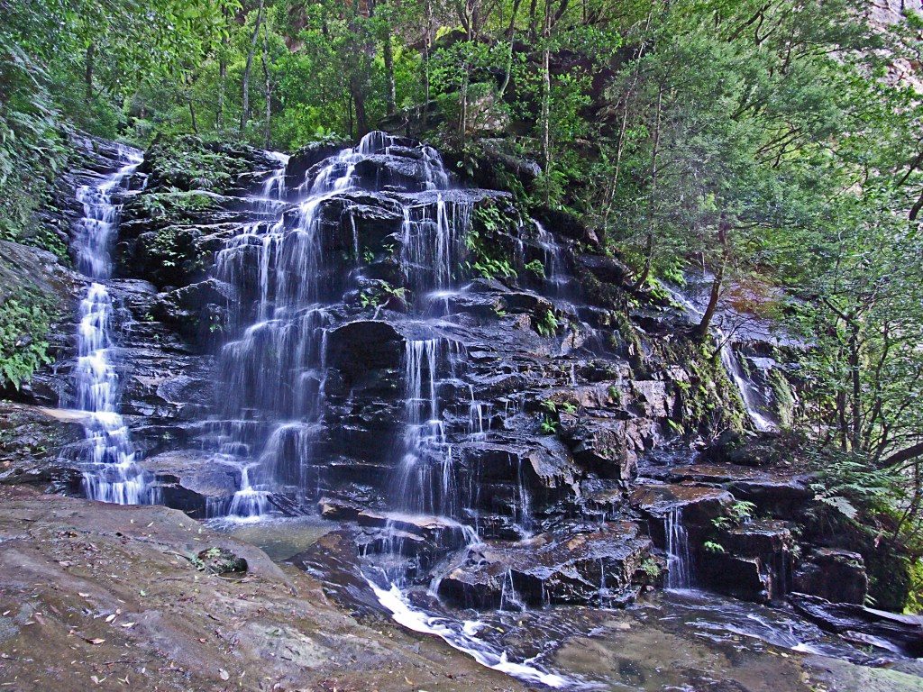
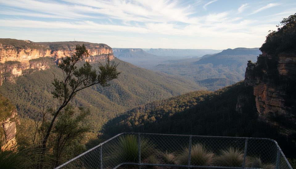
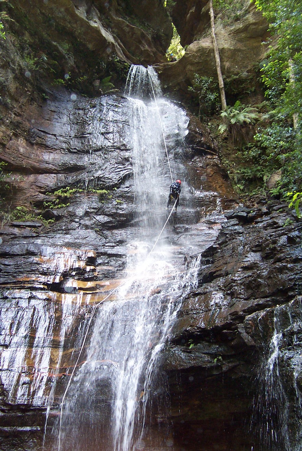
Most hikers start from Conservation Hut (Wentworth Falls) or the Wentworth Falls Picnic Area, linking well-formed plateau paths with rough valley tracks. You’ll follow Jamison Creek for long stretches—think shady banks, cascades, boulder-hopping, and the occasional swimming hole. Hippocrene Falls drops into a broad, photogenic plunge pool framed by cliffs and lush greens; Vera Falls sits just upstream with dramatic multi-tiered flow. Keep an eye out for the early 1900s stone stairs—remnants of the track-building heyday that add character to the climb.
The opening kilometers are straightforward on good track. After key junctions the route narrows and gets wilder: you’ll encounter vague or overgrown sections, intermittent markers (tape/paint), and short, steep descents that are slippery when wet. The climb out is the crux—about 220 m of vertical in roughly 750 m horizontal—helped by stone stairs but still a lung-burner. You’ll rejoin better-built paths near the lower cascades of Wentworth Falls, where many people stop for a breather before cruising the cliff-top paths.
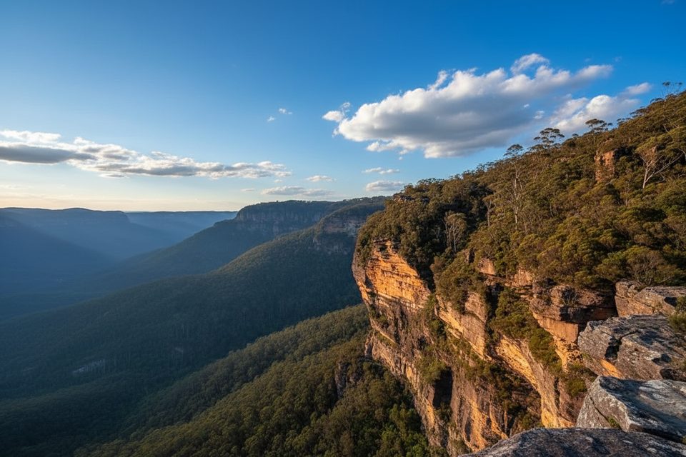
This is an advanced bushwalk. The combination of rough footing, steep stairs, creekside travel, and occasionally indistinct routing suits hikers with good fitness, navigation skills, and a head for exposure near cliff country. If you’d prefer a more maintained sampler, stick to the plateau’s signposted tracks and lookouts and save this one for when you’re ready.
Spring and autumn are prime: cooler temps, wildflowers, and reliable flow in the creeks. Winter keeps the valley damp and chilly but feeds the waterfalls. Summer heat on exposed cliff sections can be punishing—start early and carry extra water. Avoid or postpone after heavy rain; slick rock and swollen creek sections spike the risk.
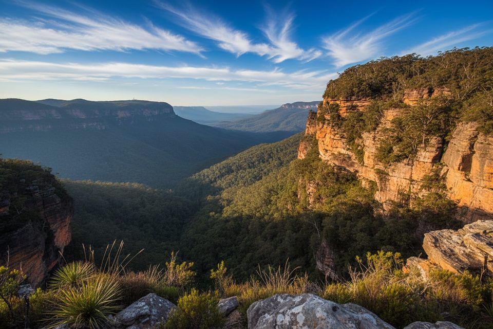
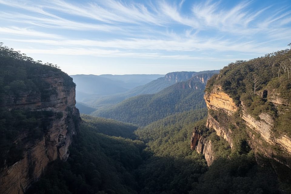
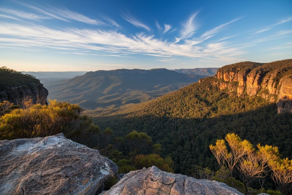
These falls tumble where Jamison Creek meets resistant sandstone bands of the Blue Mountains plateau, carving ledges and amphitheaters over time. The valley’s temperate rainforest pockets stay lush year-round, with mossy boulders and ferny understorey adding to the “lost world” feel.
Treat this like a backcountry day. The track can be indistinct; bring a map and compass and don’t rely solely on GPS (reception is patchy in the valley). Look for occasional markers, and if you’re bush-bashing, you’ve likely strayed—backtrack to the last clear tread. Wear grippy boots for the steep, slippery bits and creek rock. Pack sufficient food and water (no facilities once you drop in), and consider carrying a PLB. Stay on track—hidden cliff edges are a real hazard in this precinct. The official NSW National Parks app is handy for offline maps and updates.
If you’re experienced and up for a rugged, old-school Blue Mountains adventure, this track is a gem: big waterfalls, quiet creek sections, and a satisfying climb out with history underfoot. If you’re not comfortable with rough navigation and steep stairs, enjoy the signposted cliff-top network and save this one for later.
Park at Conservation Hut (Wentworth Falls) or Wentworth Falls Picnic Area; parking fees apply at the picnic area.
Rough, sometimes indistinct track with hidden cliff edges; steep, slippery descents and creek crossings; unreliable GPS in the valley—carry a map/compass and consider a PLB; avoid after heavy rain.
Place · 0 mi away
Place · 0 mi away
Place · 0.1 mi away
Place · 0.2 mi away
Moderate · 0 mi away
Moderate · 0 mi away
Challenging · 0 mi away
Moderate · 0 mi away

Parkwolf Tour Guide
