
Place · 0 mi away
Moderate
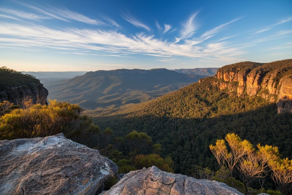
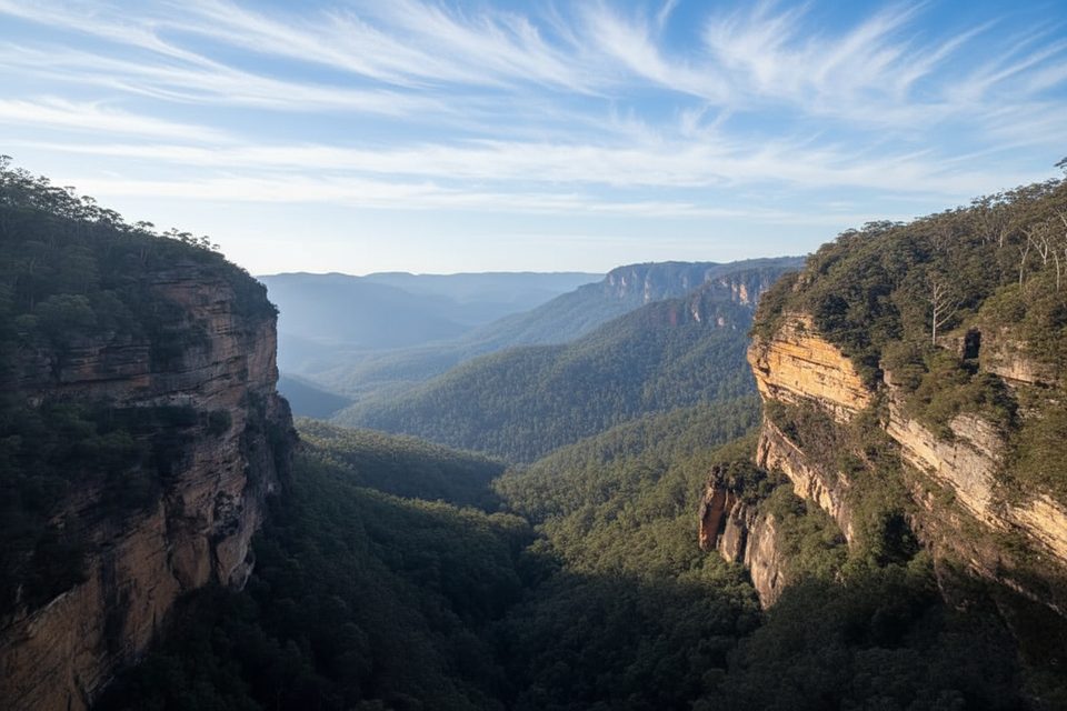
Roberts Pass drops from the Wentworth Falls escarpment into the Jamison Valley and ties into the Lindeman and Gladstone Pass networks. Expect a rugged, old-school Blue Mountains experience rather than a manicured tourist path. Distances vary with how you link it up—plan on roughly 2.5–3.7 miles total, with a popular loop that covers the Roberts Pass section coming in around 2.7 miles. Time on trail ranges from about 1.5 to 3 hours depending on fitness, conditions, and chosen connections.
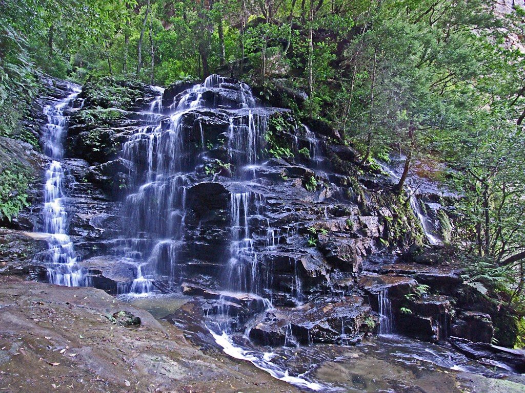
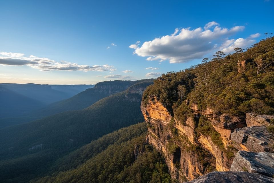
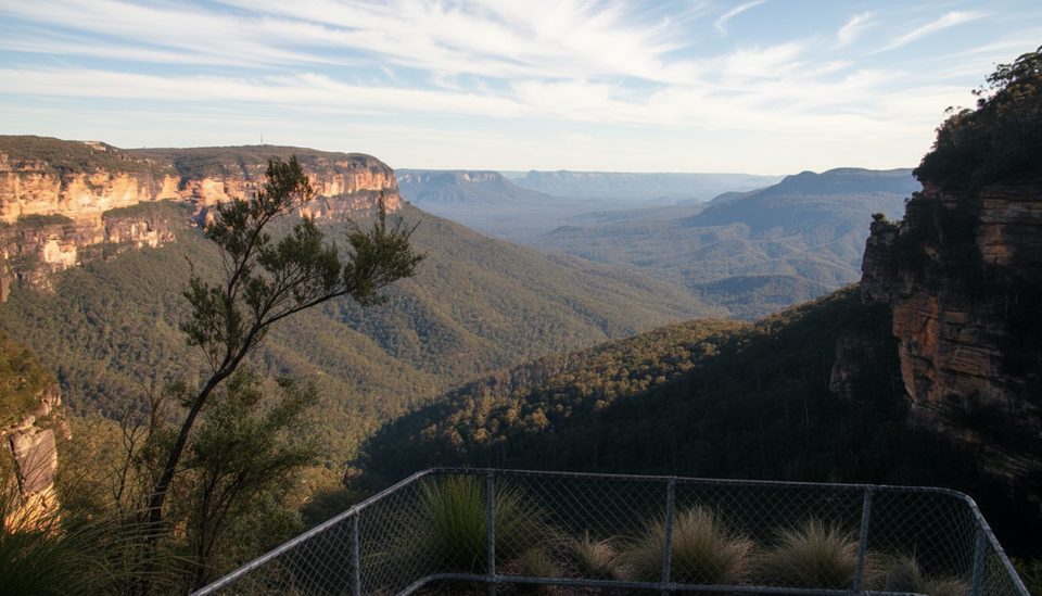
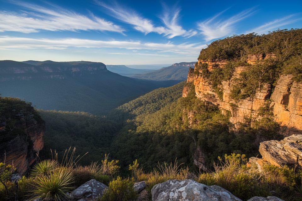
This route weaves through cool, temperate rainforest gullies with tree ferns, mossy boulders, and damp, earthy air. You’ll spend long stretches beneath towering Triassic sandstone cliff lines—classic Blue Mountains geology—before threading an unusual narrow rock slot that adds a fun bit of character. Detours to Moya Point Lookout and Gladstone Lookout open up wide views across the Jamison Valley. Along the way, expect muddy creek crossings and occasional boardwalks through hanging swamp sections.
Rated moderate to hard for its steep sections, stairs, and occasional scrambles, Roberts Pass is best for confident walkers. Parts of the track can be vague or unmarked, with only ribbons in places, so navigation skills matter—especially in dense forest or around creek crossings. Surfaces range from dirt and rock to slippery mud after rain. If you link back out via Wentworth Pass or National Pass, be ready for a steep, sustained climb to finish.
It’s hikeable year-round, but spring and autumn usually deliver the most comfortable temps and the lushest rainforest vibe. Summer can be hot and sapping on the climbs; winter brings cold, damp conditions with mist settling in the gullies. After rain, expect more mud and slick rock—beautiful atmosphere, but slower going.
If you want seclusion, rainforest atmosphere, and a touch of adventure, Roberts Pass delivers. If you prefer groomed paths and clear wayfinding, consider nearby cliff-top options or stick to more established circuits instead.
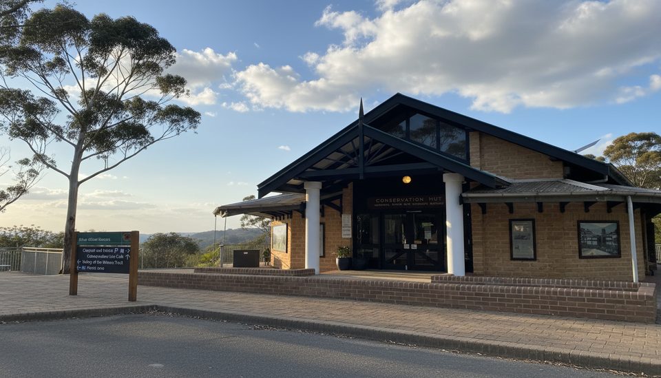
Start near Wentworth Falls in the Valley of the Waters area; use established parking and access tracks to link onto Roberts Pass.
Some sections are unmarked or vague; expect narrow ledges, steep stairs, slippery mud and rocks, and creek crossings—especially tricky after rain.
Place · 0 mi away
Place · 0 mi away
Place · 0.1 mi away
Place · 0.2 mi away
Moderate · 0 mi away
Challenging · 0 mi away
Moderate · 0 mi away
Challenging · 0 mi away

Parkwolf Tour Guide
