Pros & cons
PROS
- Lush, photogenic multi-tier cascade in rainforest setting
- Just beyond Empress Falls, with several other cascades nearby
- Quieter than the big-name stops on the same track
CONS
- Rocks and steps can be very slippery, especially after rain
- Steep climb back to the trailhead
- Occasional track closures for rockfall or maintenance
Overview
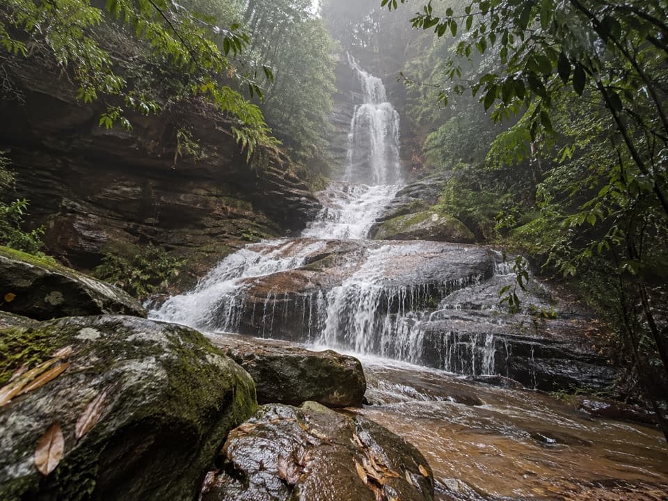
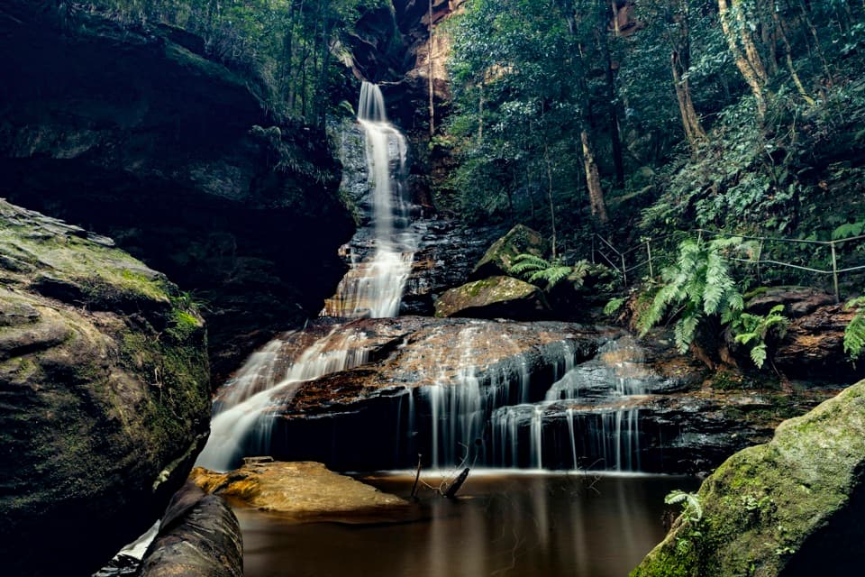
Tucked along the Valley of the Waters Track near Wentworth Falls, Sylvia Falls is a beautifully tiered cascade wrapped in temperate rainforest. Water fans over stacked sandstone ledges, framed by moss, ferns and towering cliffs. It’s serene, atmospheric and—because many walkers turn back at Empress Falls—often less busy than it deserves to be.
Getting There
Start from the trail network at the end of Fletcher Street by the Conservation Hut and follow the well-marked Valley of the Waters Track. Sylvia Falls sits a short walk downstream of Empress Falls; keep going a few extra minutes and you’ll be rewarded. Expect steps and handrails in places, and stay inside barriers—off-track rocks are slick.
What You’ll See
- A multi-step waterfall spilling over jagged sandstone tiers into a tranquil pool.
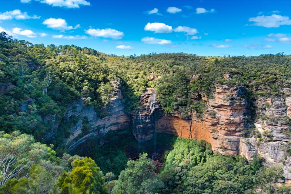
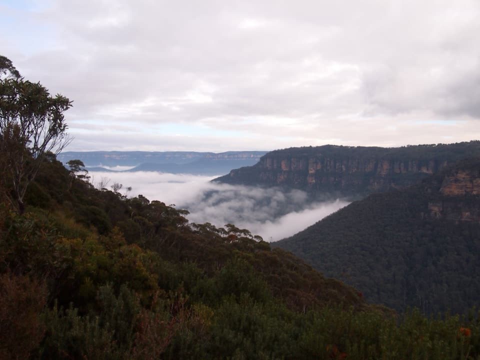
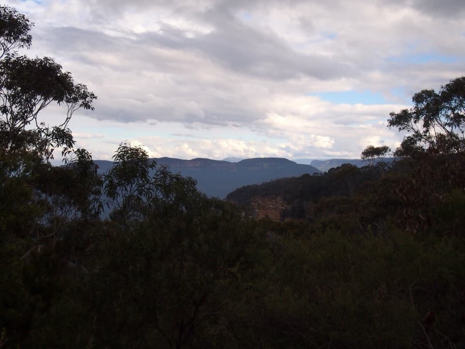
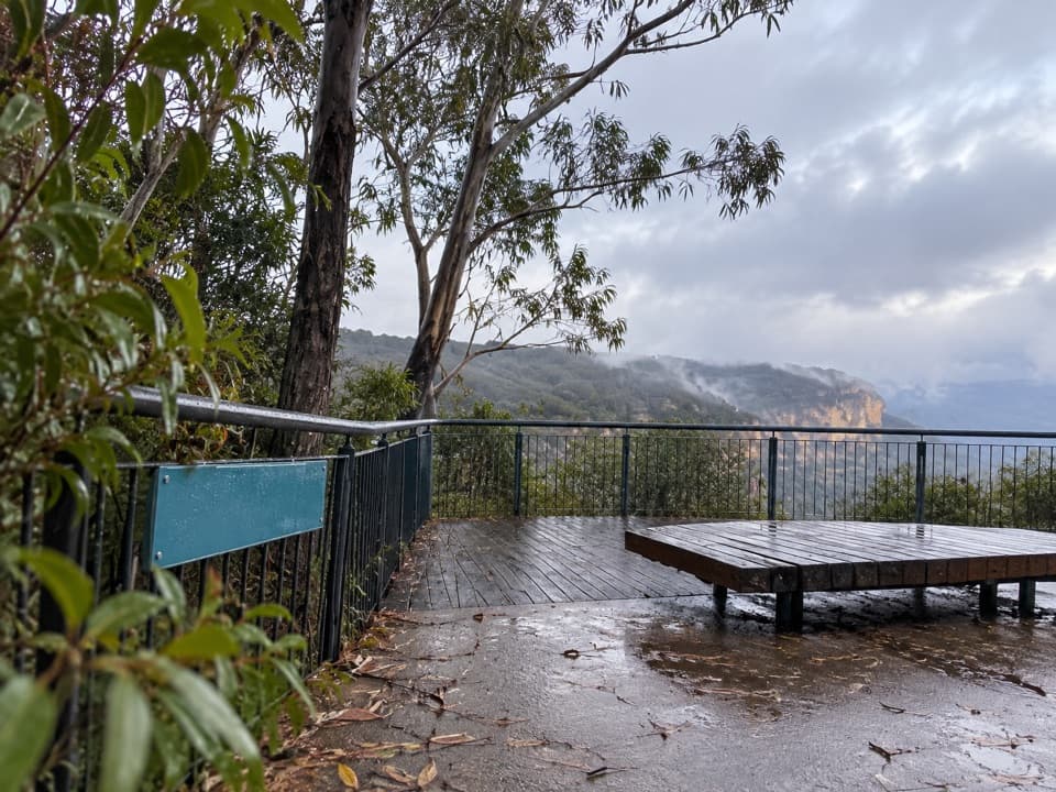
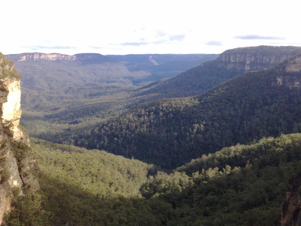
- Lush gullies with dense native vegetation and glimpses to the wider Valley of the Waters.
- Multiple nearby cascades (including Empress and Lodore), making this a compact waterfall run.
Why It’s Special
Sylvia’s layered rock shelves create graceful, curtain-like flows that photograph beautifully from several safe vantage points. It delivers that immersive rainforest feel without the crowds found at the bigger lookouts.
History & Geology
Named in 1895 by Peter Mulheran, a caretaker for the Wentworth Falls Trust, the name likely nods to the forested setting or the silvery sheen in sunlight. The steps of the falls reflect resistant sandstone bands carved by the creek over millions of years.
Wildlife
Rainforest gullies here are alive with birdlife typical of the Blue Mountains. Keep an eye (and ear) out for ground-foraging birds along the track.
Best Time to Visit
- After rain for the fullest flow—just factor in extra slipperiness.
- Early morning or late afternoon brings softer light and fewer people.
- Weekdays are quieter than weekends/holidays.
Safety & Etiquette
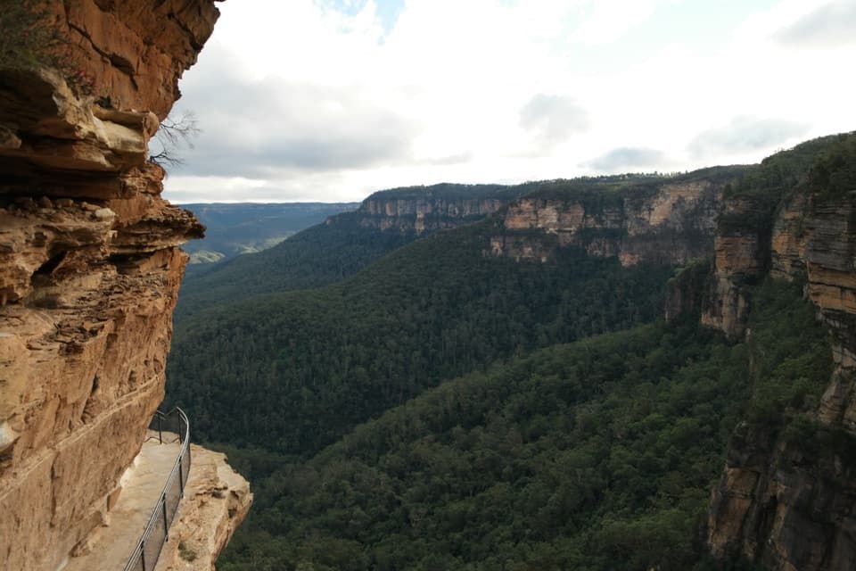
Tracks and stairs can be steep and wet. Supervise kids closely, use handrails, and don’t cross fences for photos—slips here can be serious. Check for any track closures before you go; this area can close for rockfall risk or maintenance.
Practicalities
There are no built facilities at the falls themselves. Any services are at the trailhead area near the Conservation Hut; availability can vary, so don’t rely on them. Bring what you need: water, snacks, sturdy footwear and rain layers if the forecast looks iffy. A map (or the NSW National Parks app) is handy even on a well-signed track.
Photography Tips
Early or late light helps avoid glare on wet rock. A small tripod or steady hand on railings can stretch your shutter for silky water, and a polariser tames reflections on the dark sandstone.
Where it is
-33.7201, 150.3629Tips for Sylvia Falls
- 01Start at the Conservation Hut end of Fletcher Street and follow Valley of the Waters Track.
- 02Go five minutes past Empress Falls—most people turn back before Sylvia.
- 03Wear grippy shoes; steps and rocks stay slick, especially after rain.
- 04Check for track closures before you go and avoid crossing safety barriers.
- 05Shoot in early or late light for the best photos and fewer people.
Near Sylvia Falls
All places →All trails →
0 mi awayValley of the Waters trackA stair-heavy rainforest plunge with nonstop Blue Mountains waterfalls.Moderate · 2.1 mi · 2 hr
0 mi awayHippocrene Falls TrackRemote Blue Mountains plunge-pool waterfalls for seasoned hikersChallenging · 5.8 mi · 5.5 hr
0 mi awayNature TrackShort loop with rainforest magic, cascades, and a punchy stair climbModerate · 2 mi · 2 hr
0 mi awayVera Falls walking trackRemote, rough descent to towering falls—reward for the skilledChallenging · 3.3 mi · 3.5 hr
0 mi awayConservation Hut CafeCafe with huge valley views and trailheads at the doorTrailhead · Restroom
0.1 mi awayLyrebird LookoutCompact lookout, big Jamison Valley views via a short loopScenic Viewpoint · Restroom
0.2 mi awayValley of the Waters LookoutCliff-edge valley views and a gateway to waterfall walksTrailhead · Restroom
0.2 mi awayEmpress LookoutCliff-edge lookout over the Valley of the Waters and Empress CanyonScenic Viewpoint