

Place · 0 mi away
Challenging
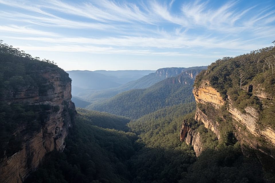
This is a serious bushwalk for experienced hikers who crave wild, rugged Blue Mountains terrain. The Vera Falls Walking Track drops from the Valley of the Waters near Conservation Hut into mossy gullies and sandstone country to a stunning multi‑tiered waterfall. Expect an unformed, often indistinct path, creek crossings, and a very steep climb back out. The classic out‑and‑back is about 5.3 km total return to Vera Falls; many people extend to include Hippocrene Falls or link circuits for a much longer day (up to roughly 10 km).
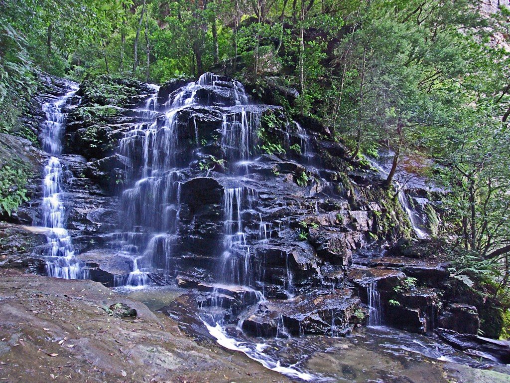
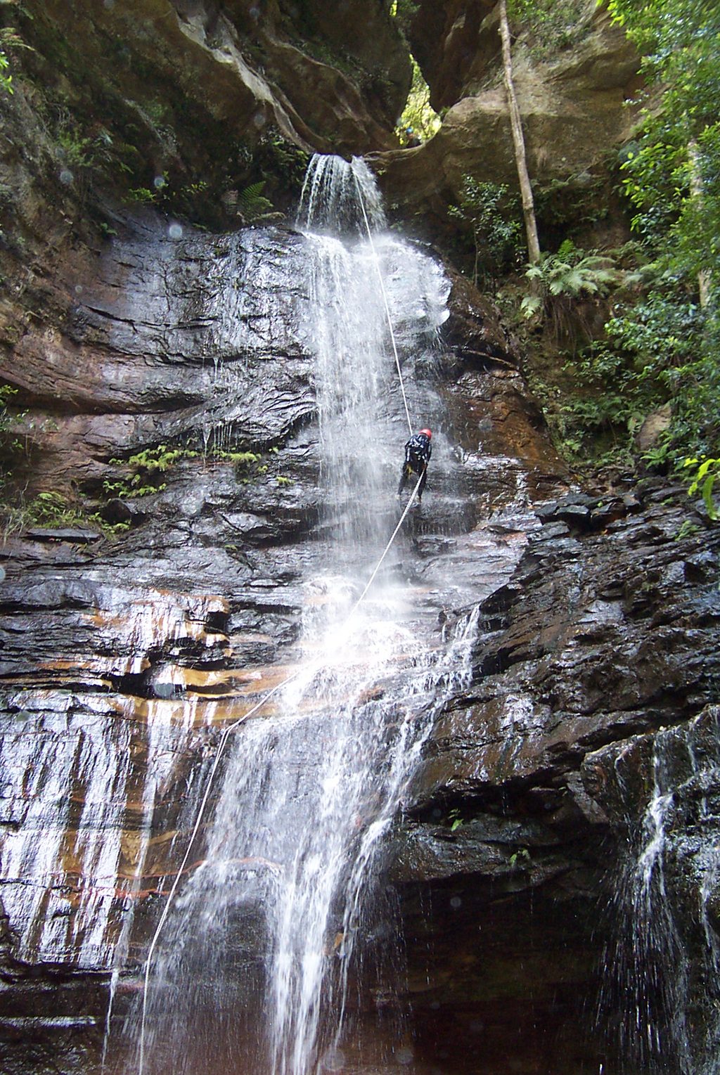
From the trailhead by Conservation Hut, the track is initially well‑built before quickly turning steep and rough. You’ll pass Blue Mountains staples—lush rainforest, ferny gullies, and dramatic escarpments—with chances to detour to Empress and Isobel Falls and viewpoints like Empress Lookout and Lyrebird Lookout. Beyond the busier sections, the feel becomes remote and wild. The side track toward Vera Falls can be vague in places; occasional tape or tags may appear but can’t be relied on. Expect creek crossings that are usually manageable in normal conditions. The final approach to the falls is particularly rough and can be very slippery, especially after rain. Views are possible from both the top and the base of Vera Falls. The return is the sting: a sustained, steep ascent that demands solid fitness.
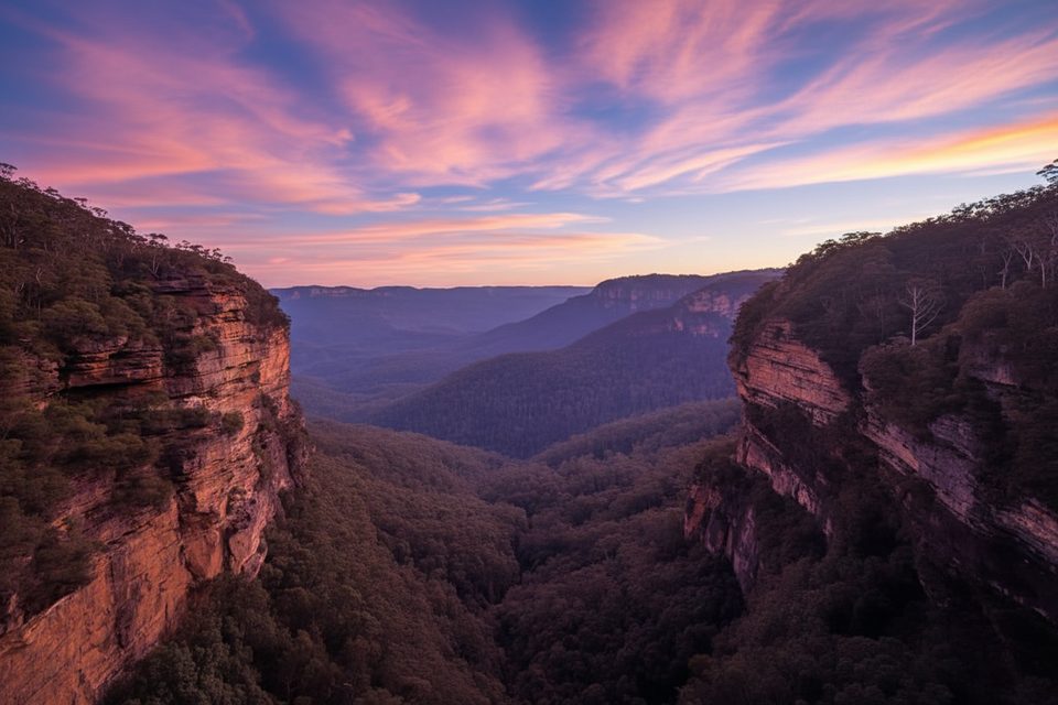
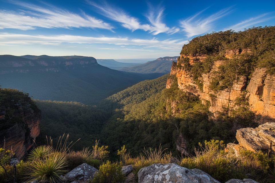
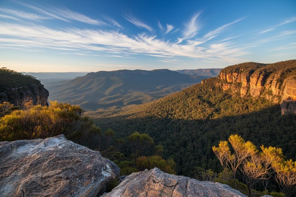
This walk showcases classic Blue Mountains geology and ecosystems—Triassic sandstone cliffs towering above deep, cool gullies lined with temperate rainforest. The waterfalls are the stars: Vera Falls is spectacular and feels far more secluded than the tourist‑friendly cascades up high. Hippocrene Falls is a worthwhile add‑on if you’ve got time and energy.
Spring and autumn bring the most comfortable temperatures and generally the best track conditions. Winter can be crisp and pleasant with impressive waterfall flow, but expect slick rock and mud after rain. Summer is hot and humid, amplifying the difficulty on the climb out. Regardless of season, avoid this track after heavy rain—creek crossings can become hazardous and the trail turns dangerously slippery.
Park at or near Conservation Hut at the end of Fletcher Street, Wentworth Falls (trailhead for Valley of the Waters).
Very steep, rough, and often indistinct track with slippery rock and creek crossings; avoid after heavy rain. Strong navigation, fitness, and self‑sufficiency required. Unfenced edges and exposure in sections.
Place · 0 mi away
Place · 0 mi away
Place · 0.1 mi away
Place · 0.2 mi away
Moderate · 0 mi away
Challenging · 0 mi away
Moderate · 0 mi away
Moderate · 0 mi away

Parkwolf Tour Guide
