Parking
Park at Conservation Hut on Fletcher Street (90 Fletcher St). Follow Falls Road signs for Conservation Hut; spaces may be limited on weekends and public holidays.
#7 of 110 trails in Blue Mountains
Blue Mountains National Park, NSW
A steep, short return to a tiered waterfall in a ferny gorge.
Overview
Map & elevation
Plan your hike

The highest, rockiest slopes around here are a summer buffet for grizzly bears.
Blue Mountains Tour Guide
Parkwolf is a GPS audio tour guide for Blue Mountains National Park. As you drive, it chimes in with what’s ahead: hidden gems, upcoming stops, history, geology, and wildlife, right through your car’s speakers.
See the Blue Mountains audio tourRecorded for this trailhead
Conservation Hut and the Valley of the Waters“You're coming up on Conservation Hut, a café above the Valley of the Waters. Stop for breakfast or lunch with a view toward Mount Solitary; the menu includes French-toast croissants and fish tacos.”
Plays as you drive up to this trailhead in the Parkwolf Blue Mountains Tour Guide.
More stories near here in the app
“Fantastic app with many points of information… It’s great to just turn on while you’re driving and it gives you an audio tour of the national Park. We love it!!!!”


Trail guide
Valley of the Waters Track from Conservation Hut to Empress Falls is a 1.1 km (0.68 mi) out-and-back, usually about 45 minutes. It drops quickly from the hut into a shaded gorge, then climbs back by the same path. The distance is short, but the steep return makes this a harder walk than the number suggests. Do it for Empress Falls without committing to a longer valley route.
The formed track has rocky, rough sections and timber-and-dirt steps. It is very steep in places, both down to the falls and on the way back. This is a Grade 4 walk: a good fit if you're comfortable with uneven footing and stairs, not a gentle stroll. Stay on the formed path around the gorge, where cliff edges can be hard to see. Heavy rain can make local track sections impassable.
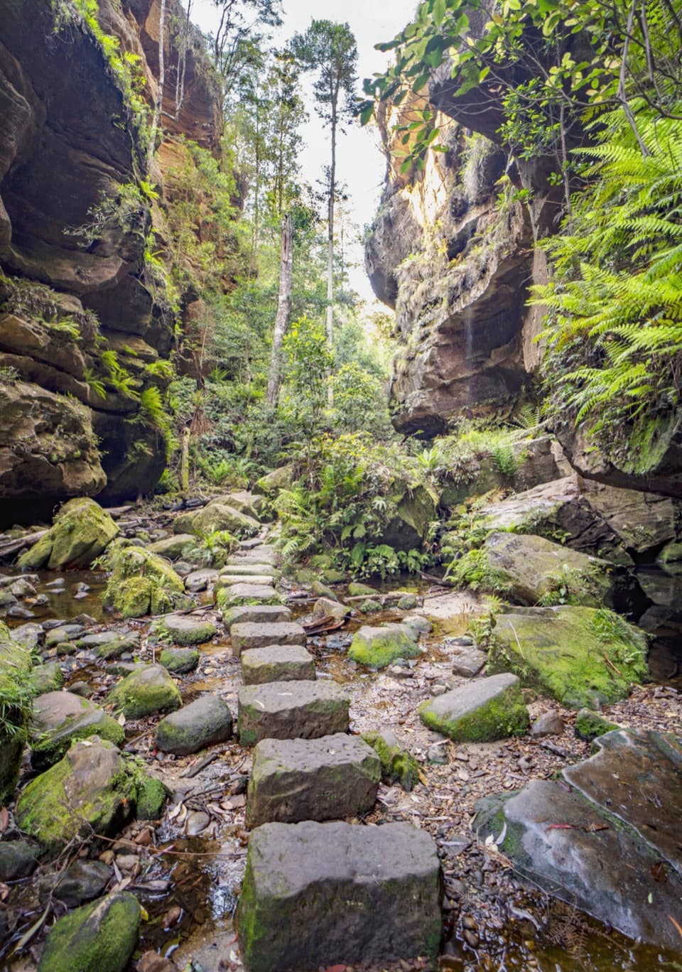
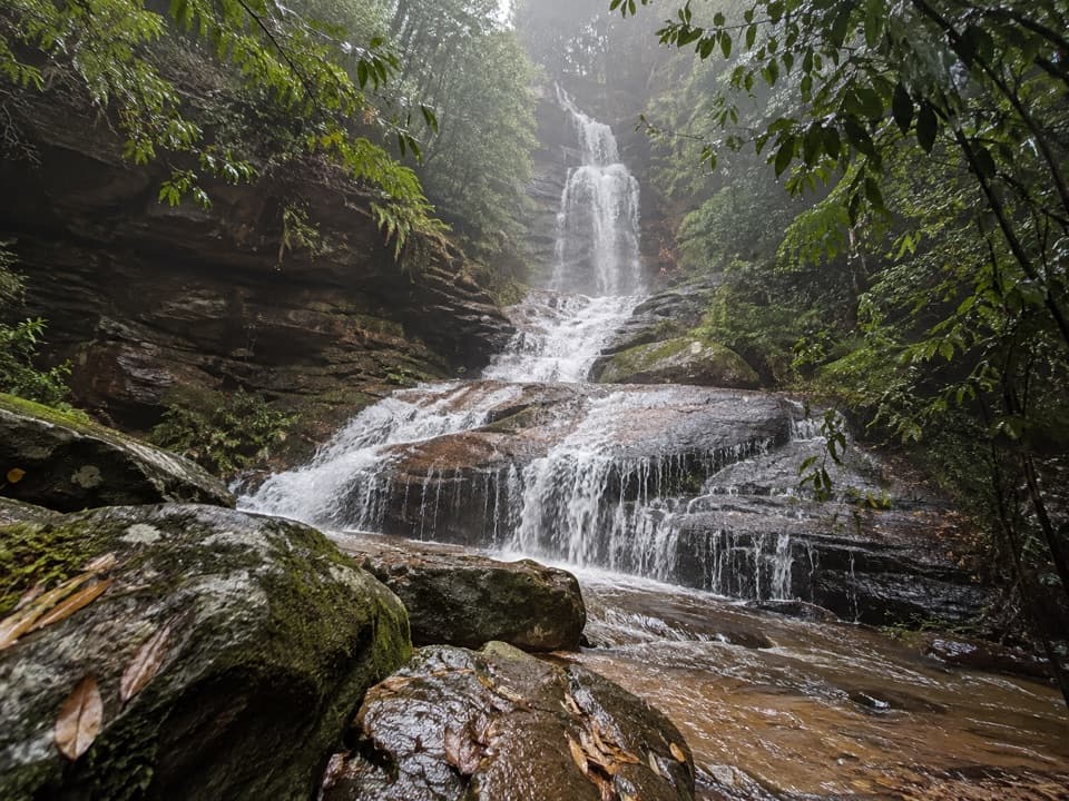
The route ends at a tiered waterfall spilling over dark rock shelves, then spreading into smaller cascades below. Forest and ferns close around the gorge. For a photo, keep the broad ledges beneath the main drop in frame; they show the stepped shape of the falls. Morning mist can soften the scene, though it depends on the day.
The 1.1 km figure covers the walk from Conservation Hut to Empress Falls and back. The broader Valley of the Waters route continues to other falls and toward Wentworth Pass; those extensions have a different distance and access, and are not part of this short return.
Start and park at Conservation Hut, at the Fletcher Street end. Parking is available, but spaces can be limited on weekends and public holidays. The café is beside the trailhead for a snack or coffee before or after the walk. Pets aren't allowed in Blue Mountains National Park, except certified assistance animals.
Wildlife
 58 sightingsGrey KangarooMost seen around 6 AMSighting map
 43 sightingsWombatMost seen around 6 PMSighting map
 18 sightingsRed-necked WallabyMost seen around 6 PMSighting map
 53 sightingsSwamp WallabyMost seen around 7 AMSighting map
 23 sightingsBrushtail PossumMost seen around 7 PMSighting map
 30 sightingsRing-tailed PossumMost seen around 7 PMSighting map
Sighting maps show where each species has been reported across Blue Mountains. Wildlife moves, so no sighting is guaranteed.
Keep exploring
 ModerateNature track3.3 km · 2 hr · At the trailheadShort Conservation Hut loop through fern gullies, falls and valley views.
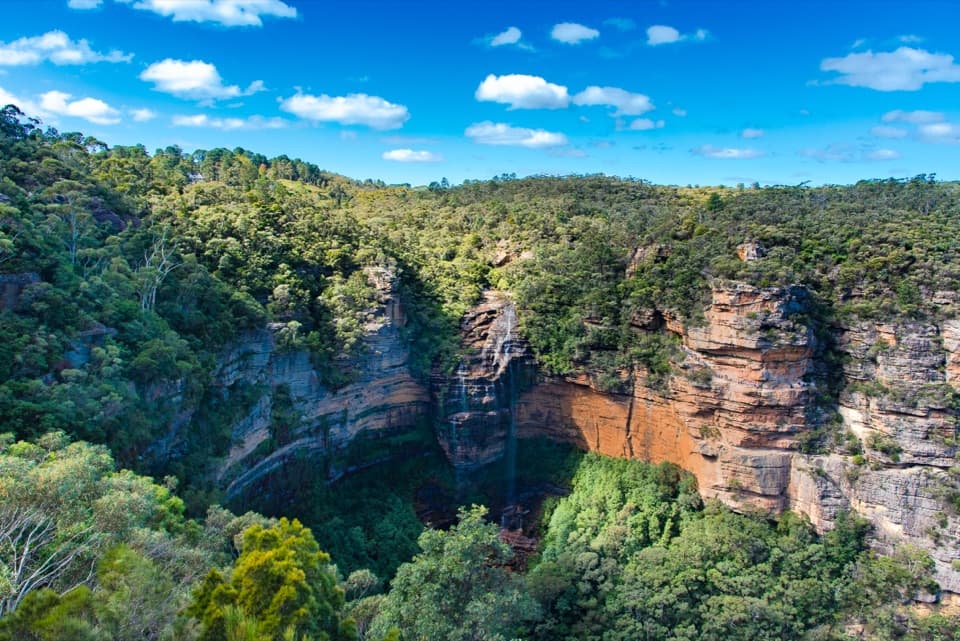 ModerateWentworth Falls track1.4 km · 53 min · 0.8 km awayShort, steep stairs lead to a 100-metre waterfall and valley views.
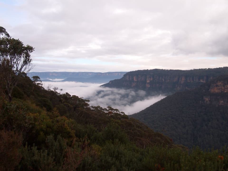 ModerateRocket Point lookout track2.4 km · 1.3 hr · 0.8 km awayStepping stones, a steep climb, and a close view of Wentworth Falls.
 ModerateDen Fenella walking track1 km · 54 min · 0.8 km awayA short stairway into tree-fern rainforest and a creekside cascade.
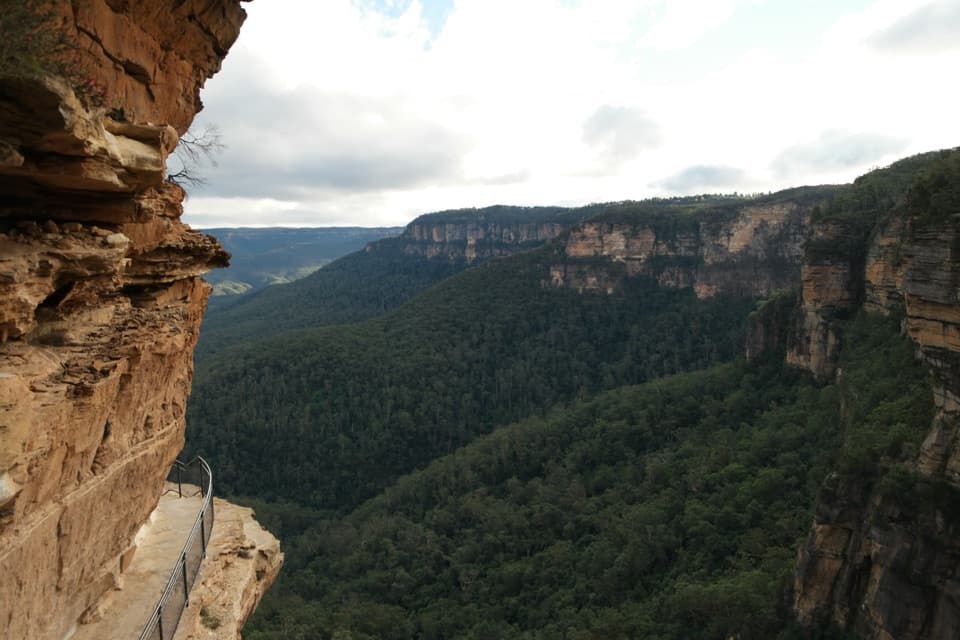 ChallengingNational Pass5.1 km · 3 hr · 0.8 km awayA cliffside stairway links sandstone ledges, waterfalls, and valley views.
 ChallengingWentworth Pass loop walking track5 km · 4.5 hr · 0.8 km awayCliff stairs, waterfalls and a rainforest climb back out
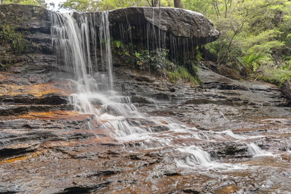 ModerateWeeping Rock circuit2 km · 1 hr · 0.8 km awayLookouts, steep steps and a creek waterfall on a compact loop.
 EasyPrinces Rock walking track0.8 km · 45 min · 0.8 km awayA short stepped walk reaches a historic lookout over Wentworth Falls.
 Sight · At the trailheadValley of the Waters lookoutA level platform for the Jamison Valley, without the steep descent.
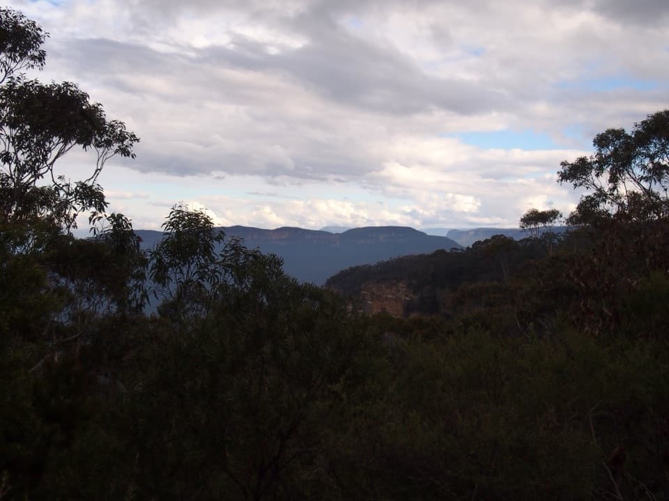 Restaurant · At the trailheadConservation HutA proper café stop above the Valley of the Waters.
 Sight · 0.4 km awaySylvia FallsA stepped rainforest cascade just beyond Empress Falls.
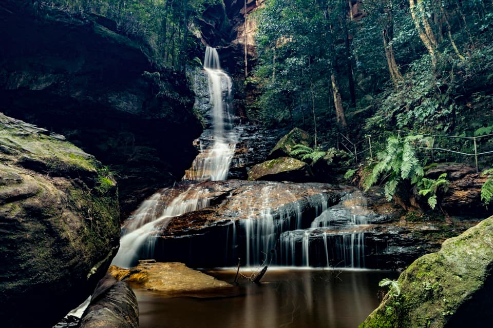 Sight · 0.4 km awayEmpress FallsA steep waterfall walk where canyoners sometimes abseil.
 Sight · 0.7 km awayEdinburgh Castle RockA short spur to an open ledge with a modest valley view.
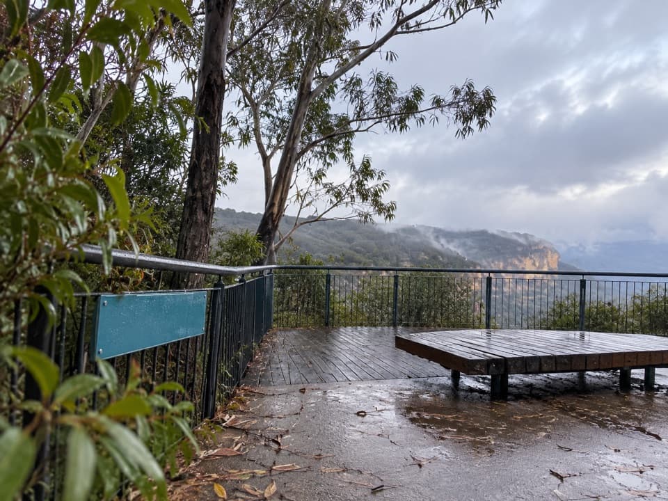 Picnic area · 0.8 km awayWentworth Falls picnic areaA picnic with Jamison Valley views and waterfall walks nearby.
 Sight · 1.1 km awayWentworth Falls LookoutSandstone cliffs open onto the Jamison Valley.
 Sight · 1.1 km awayPrinces Rock LookoutA close view of Wentworth Falls, reached by a stair-heavy track.
Parkwolf’s Blue Mountains ranking

The audio tour guide for the drive, plus offline maps, trails, and wildlife heatmaps for when the signal drops.