
Place · 0 mi away
Challenging
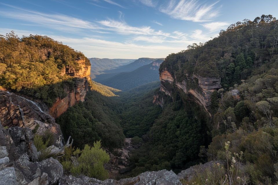
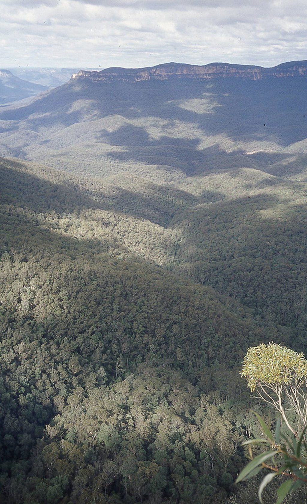
Lindeman Pass threads a rough bench at the base of the Blue Mountains’ sandstone escarpment, linking the Leura/Gordon Falls side with Wentworth Falls beneath towering cliffs and dripping overhangs. Expect ferny gullies, mossy creeks, and that distinctive under‑cliff ambience rather than constant big vistas. It’s a wilder, less‑maintained alternative to nearby tourist tracks, prized by experienced bushwalkers who enjoy solitude and adventure.
The core Lindeman Pass section is roughly 7.5 miles (12 km). Many people combine it with steep access routes—commonly descending Gladstone Pass near Gordon Falls (Leura) and climbing out Roberts Pass toward the Valley of the Waters/Conservation Hut (Wentworth Falls)—making hard circuits in the 11–14 km range. Expect slow going: 5–7 hours for the pass itself, and a full day for longer traverses. The pass mostly contours, but the access “passes” are steep and demanding.
This is a challenging, under‑maintained track for experienced bushwalkers. It’s rough, overgrown in places, and can be hard to follow after slips or storms. Anticipate tree‑falls, minor landslides, narrow ledges, wet rock, roots and mud, occasional ladders or fixed ropes, and sections of loose scree. Navigation skills are essential; signage is limited and detours around slips can be easy to miss.
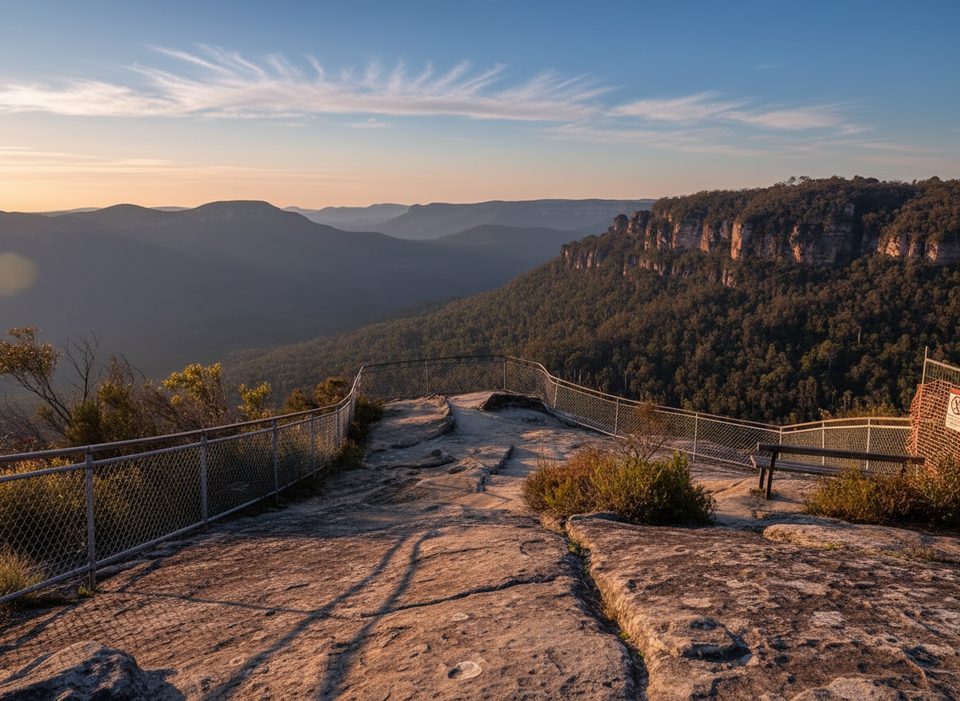
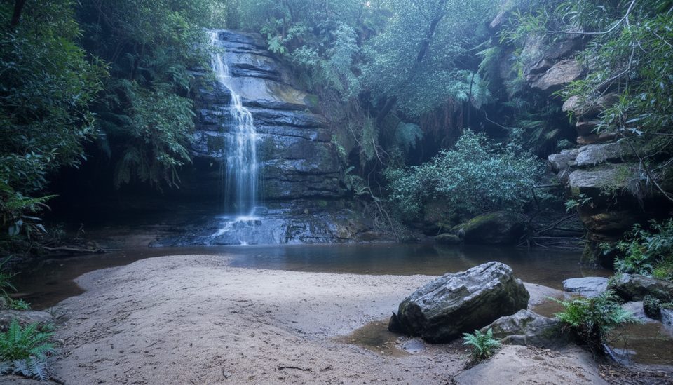
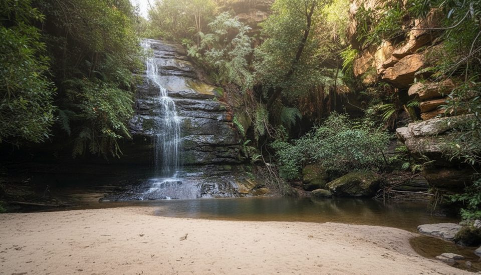
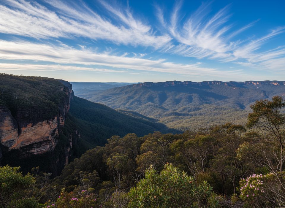
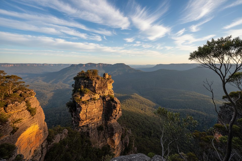
Don’t come seeking lookout‑to‑lookout walking. The appeal here is the under‑the‑rim experience: long drip lines, sandstone walls, shady gullies, hanging swamps, and intermittent windows into the Jamison Valley. You’ll pass beneath well‑known cliffs and below lookouts like Gladstone and Gordon Falls, traverse lush pockets with seepages, and cross small creeks and waterfalls carving through the sandstone.
Leura side: start near Gordon Falls Reserve to descend Gladstone Pass. Wentworth Falls side: access via the Valley of the Waters/Conservation Hut to connect with Roberts Pass. For one‑way traverses, stage two cars or plan public transport between Leura and Wentworth Falls.
Late autumn through early spring is the sweet spot—cooler temps, fewer snakes, and typically less leech pressure. Avoid or be very cautious after heavy rain: seepages make rock ledges slick and the clay turns treacherous. Allow a generous daylight window and avoid starting late.
Bring a detailed topo map and GPS; follow recorded tracks with care. Sturdy boots with real grip are non‑negotiable; poles and gloves help on scrambles or rope sections. Wear long pants in overgrown stretches and pack enough water and food for slow progress. Go with an experienced group and leave a trip plan with a contact.
As of October 2022, a major landslide below Gladstone Lookout has closed Lindeman Pass, making through‑walks impossible or highly inadvisable. Conditions on this track change frequently—treat current status and recent walker reports as critical pre‑trip checks.
If you want solitude, history, and an under‑cliff adventure, this is a gem when open and in condition. If you prefer constant views and formed paths, stick to the cliff‑top network or the better‑maintained Federal Pass nearby.
Leura side: street parking near Gordon Falls Reserve for the Gladstone Pass descent. Wentworth Falls side: park at Conservation Hut/Valley of the Waters for Roberts Pass access. Consider two cars for a one‑way.
Hard, under‑maintained track with landslides, narrow ledges, slippery seepages, overgrowth, faint sections, and occasional ladders/ropes. Navigation skills essential; start early and avoid after heavy rain. Closed as of Oct 2022 due to a major landslide.
Place · 0 mi away
Place · 0.1 mi away
Place · 0.2 mi away
Place · 0.2 mi away
Moderate · 0 mi away
Easy · 0 mi away
Moderate · 0.2 mi away
Challenging · 0.7 mi away

Parkwolf Tour Guide
