Parking
Street parking is available near the start and may be limited on busy weekends. Gordon Falls Reserve has toilets, picnic facilities and a playground.

Blue Mountains National Park, NSW
Steep stairs link Pool of Siloam’s waterfall to a sandstone cave.
Overview
Map & elevation
Plan your hike

The highest, rockiest slopes around here are a summer buffet for grizzly bears.
Blue Mountains Tour Guide
Parkwolf is a GPS audio tour guide for Blue Mountains National Park. As you drive, it chimes in with what’s ahead: hidden gems, upcoming stops, history, geology, and wildlife, right through your car’s speakers.
See the Blue Mountains audio tourRecorded for this trailhead
Gordon Falls and Pool of Siloam“Gordon Falls picnic area is coming up, a good stop for a family lunch with a valley view nearby. Bring your own food; the reserve has tables, barbecues and a playground.”
Plays as you drive up to this trailhead in the Parkwolf Blue Mountains Tour Guide.
More stories near here in the app
“Fantastic app with many points of information… It’s great to just turn on while you’re driving and it gives you an audio tour of the national Park. We love it!!!!”


Trail guide
Lyrebird Dell is a 1.7 km loop from Gordon Falls Picnic Area near Leura. It descends by steps into Gordon Creek to the Pool of Siloam waterfall, then climbs back and follows the creek to the sandstone cave at Lyrebird Dell before returning to the picnic area. The listed time is 45 minutes to 1.5 hours; allow about an hour if you want to pause at the water and cave.
This is a formed, signposted Grade 3 track with many steps, including a steep descent and climb. The short distance can feel more demanding if stairs are difficult for you. Take your time on the steps into the canyon. Mobile reception is limited in the park, so check current alerts before setting out.
The track passes through a fern-filled canyon with hanging swamps before reaching Pool of Siloam. From the pool, climb back up the track and follow the creek toward Lyrebird Dell. Its large sandstone cave has a long association with the area’s Traditional Aboriginal landowners
Lyrebirds are often seen scratching through the leaf litter. On misty autumn mornings, look for silvereyes and mistletoe birds moving through the undergrowth.
From Leura Mall, follow Gordon Road and Lone Pine Avenue; the entrance is a short way along. Street parking near the start may be limited on busy weekends. Gordon Falls Reserve has toilets, picnic facilities and a playground. The picnic area is council-managed outside the national park.
Wildlife
 58 sightingsGrey KangarooMost seen around 6 AMSighting map
 43 sightingsWombatMost seen around 6 PMSighting map
 18 sightingsRed-necked WallabyMost seen around 6 PMSighting map
 53 sightingsSwamp WallabyMost seen around 7 AMSighting map
 23 sightingsBrushtail PossumMost seen around 7 PMSighting map
 30 sightingsRing-tailed PossumMost seen around 7 PMSighting map
Sighting maps show where each species has been reported across Blue Mountains. Wildlife moves, so no sighting is guaranteed.
Keep exploring
 ModerateGordon Falls to Katoomba walk8 km · 3.5 hr · At the trailheadA cliffside crossing of waterfalls, sandstone steps and valley views.
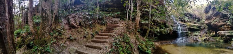 ModeratePool of Siloam walk1.6 km · 1 hr · At the trailheadA waterfall walk with steep steps and a creekside pool.
 ChallengingLeura Cascades Fern Bower Circuit2.2 km · 2 hr · 1.1 km awayA steep loop through cascades, rainforest and cliffside views.
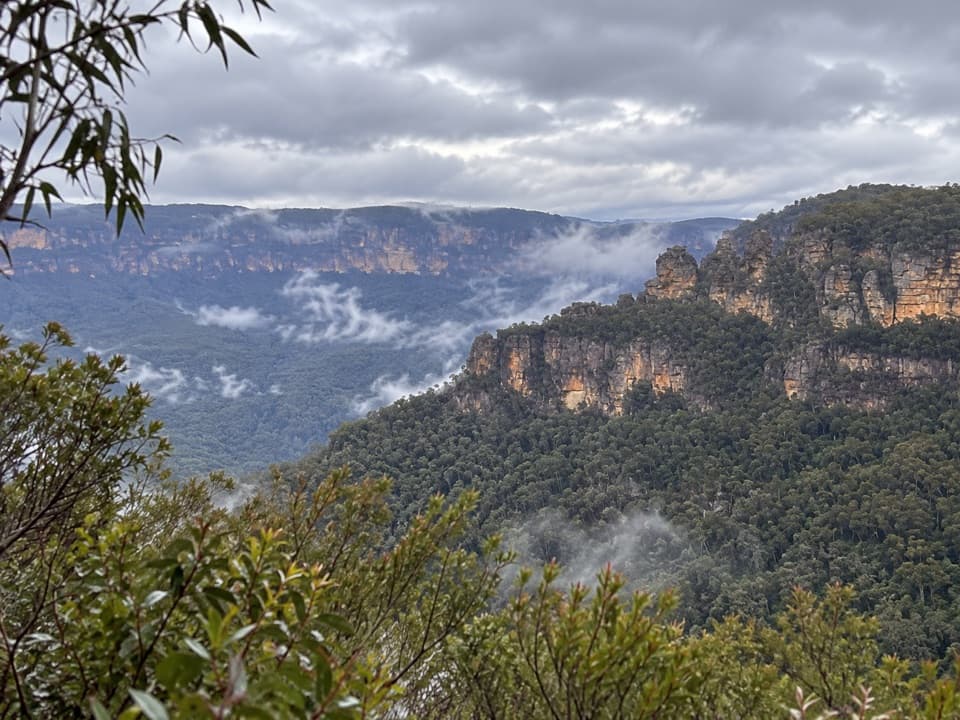 EasySublime Point Lookout Walk0.5 km · 30 min · 1.3 km awayA short walk ends at a big view across Jamison Valley.
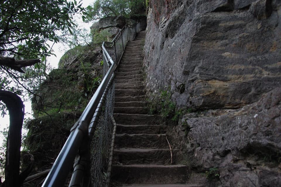 ChallengingFern Bower to Furber Steps walk5.5 km · 3.5 hr · 1.3 km awayA steep valley crossing from one stairway to another.
 ChallengingGladstone Pass–Roberts Pass loop4.3 km · 2.5 hr · 1.4 km awayA steep loop through fern gullies and two historic passes.
 ChallengingFederal Pass: Leura to Golden Stairs8.7 km · 5 hr · 1.5 km awayA hard 8.7 km one-way walk through Fern Bower to Golden Stairs.
 ChallengingEcho Point to Scenic World via Giant Stairway4.7 km · 2.5 hr · 1.9 km awayDescend the Giant Stairway, cross the valley, climb to Scenic World.
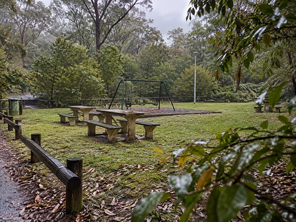 Picnic area · At the trailheadGordon Falls picnic areaPicnic tables, a playground and cliff walks close at hand.
 Sight · 0.1 km awayGordon Falls lookoutSteps down to sandstone cliffs, forested valleys and a distant waterfall.
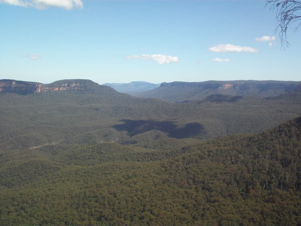 Sight · 0.2 km awayElysian Rock LookoutA quieter perch for a big sweep across the Jamison Valley.
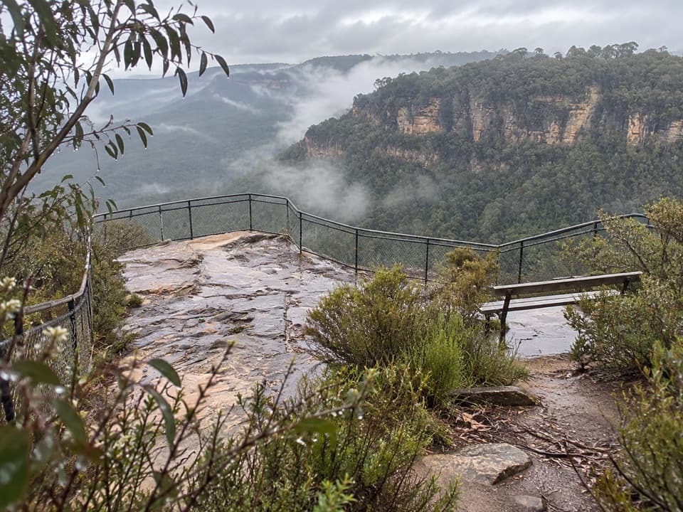 Sight · 0.4 km awayOlympian RockA short stair climb opens onto a broad Jamison Valley view.
 Sight · 0.4 km awayPool of SiloamA shaded rainforest pool with a steep climb back out.
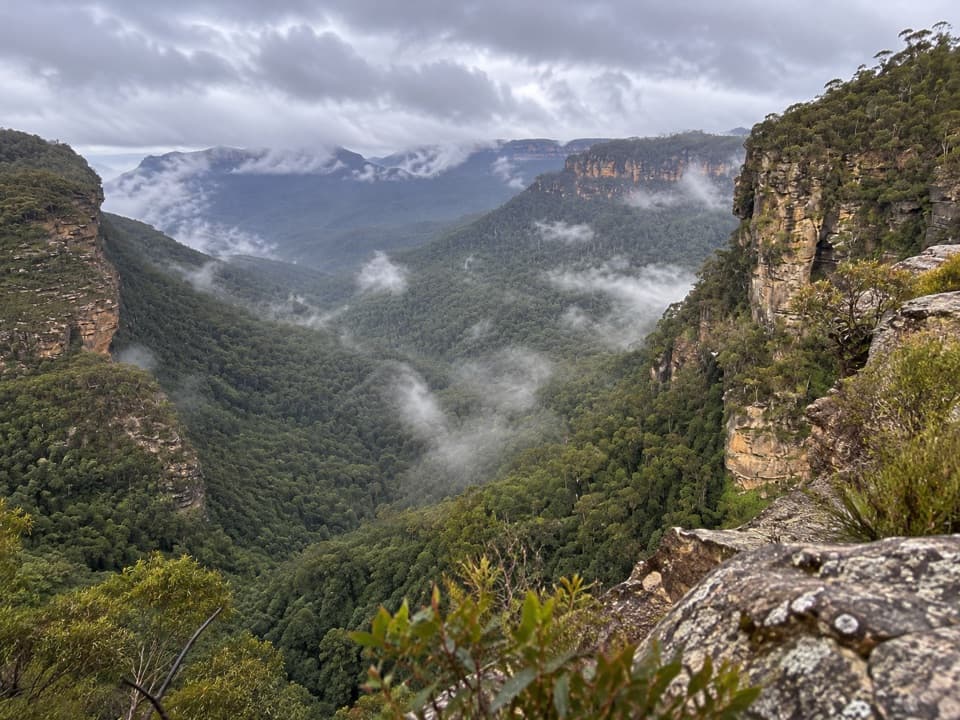 Sight · 0.4 km awayGolf Links lookoutA stair-heavy walk ends with a quieter Jamison Valley panorama.
 Sight · 0.5 km awayLyrebird DellA shaded creek walk reaches a sandstone shelter and waterfall pool.
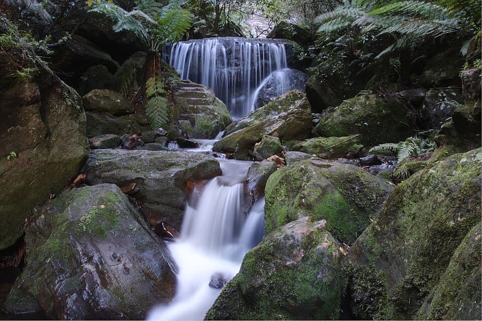 Sight · 1 km awayLeura Cascades and picnic areaA fern-lined creek spills through several waterfalls below Leura.
Parkwolf’s Blue Mountains ranking

The audio tour guide for the drive, plus offline maps, trails, and wildlife heatmaps for when the signal drops.





