
Place · 0 mi away
Moderate
This is a clifftop out-and-back from the Gordon Falls area in Leura to Inspiration Point, riding the edge of the Jamison Valley for wide-open vistas and pockets of cool bush. It’s about 6 km (roughly 3.7 miles) total, with enough stairs and undulation to feel like a proper walk without tipping into “epic.” Expect fewer people than the headline lookouts nearby.
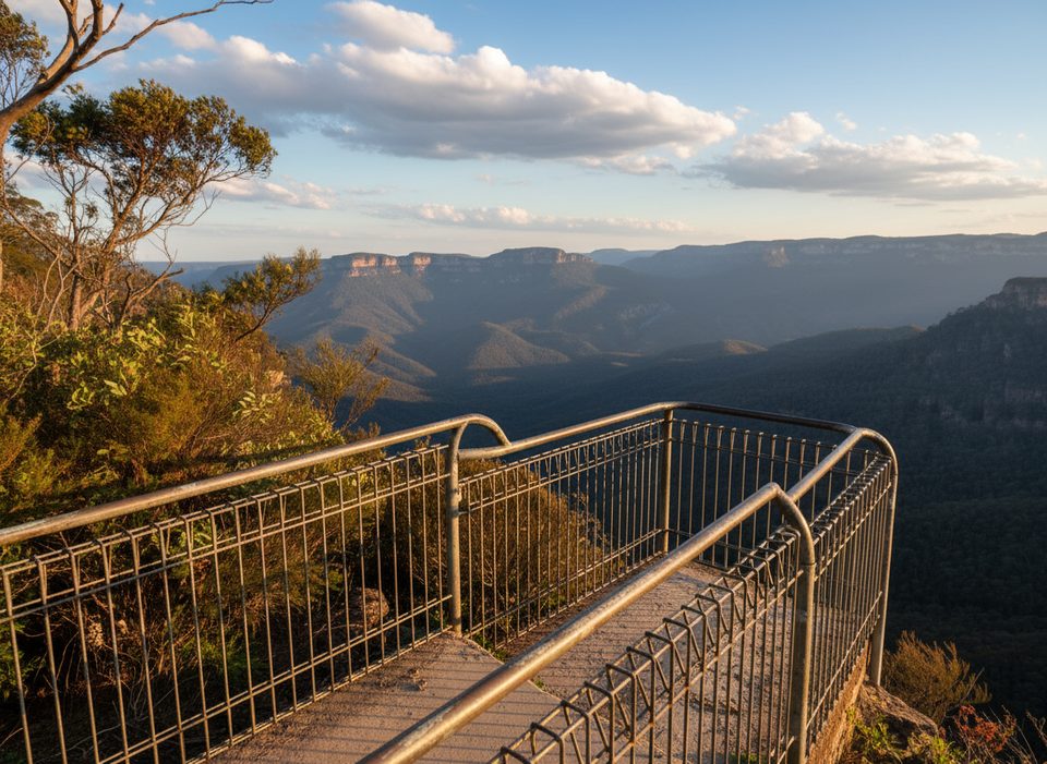
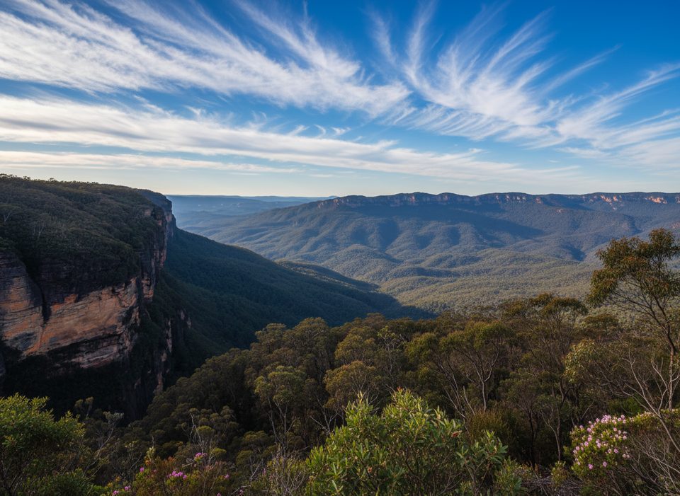
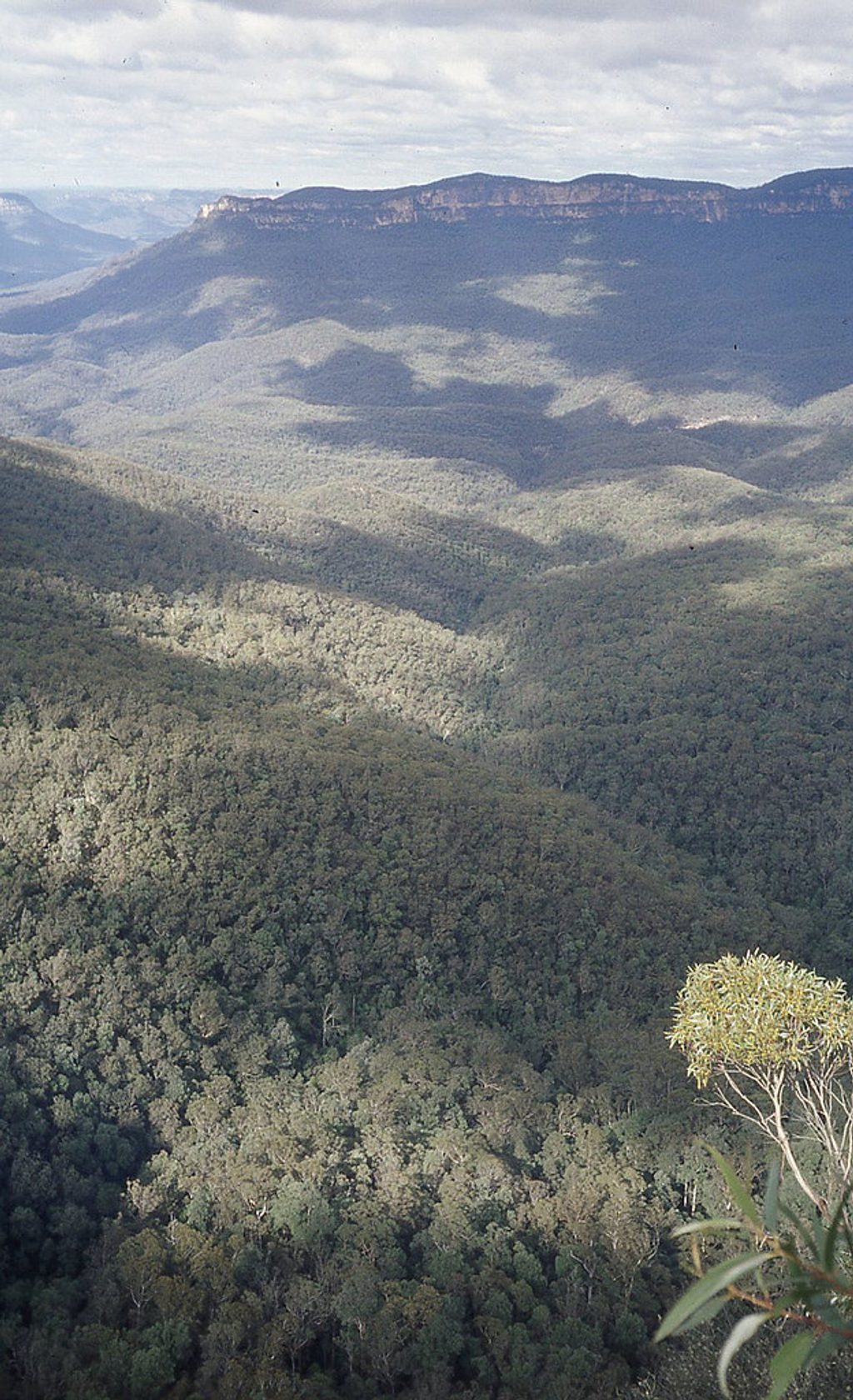
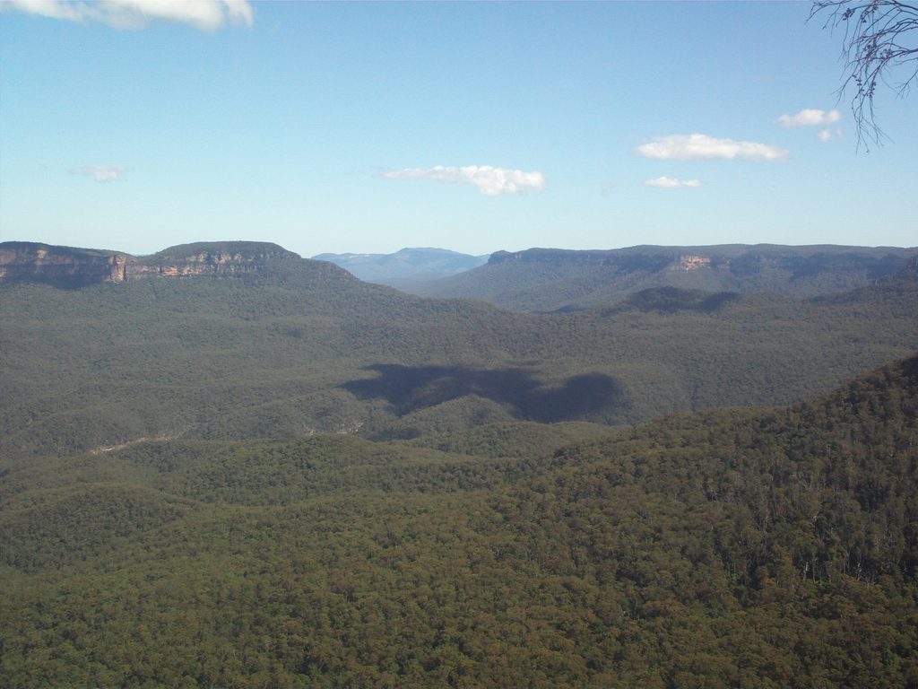
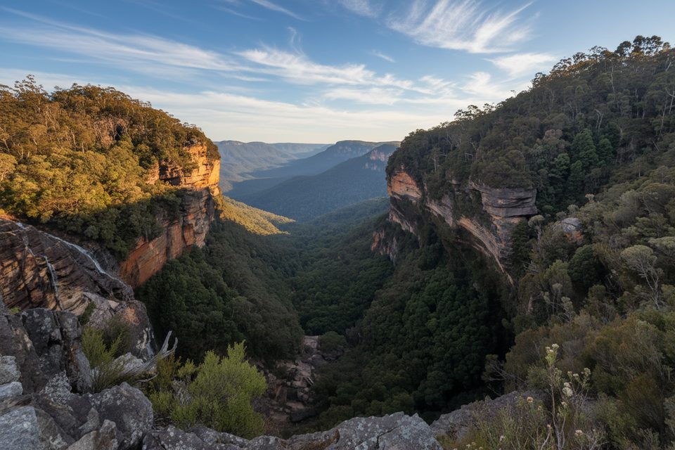
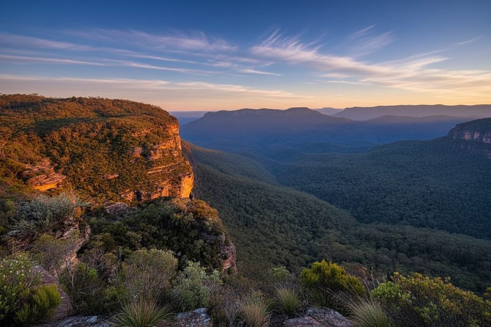
The track threads through lush eucalypt forest and hanging swamps, popping out at multiple lookouts—including Golf Links Lookout—and culminates at Inspiration Point. Views spill over the Jamison Valley toward Mount Solitary, framed by dramatic, honey-gold sandstone escarpments. Those cliffs are Triassic Narrabeen Group sandstone, carved by relentless water and time; keep an eye out for weathered rock forms and seepage lines feeding the swamps.
Underfoot it’s classic Blue Mountains bush track: natural dirt, rocky and rooty in places, with built steps and the odd slippery patch after rain. There are occasional creek crossings and short steep pinches near the escarpment. Wayfinding is generally straightforward on the main route, but side spurs (including those leading toward Vera Falls and other junctions) can confuse if you’re not paying attention. Compared to the busy lookouts closer to Leura Cascades, this route often feels surprisingly quiet.
Autumn and spring are prime—milder temps, clearer air, and seasonal flowers. It’s walkable year-round: winter can deliver crystal views but also cold, fog, and wind on the exposed edges; summer brings heat and the chance of storms. After rain, expect mud and slick rock, and give yourself extra time.
Start from Gordon Falls Picnic Area in Leura; once you leave the reserve, there are no facilities, so carry sufficient water and snacks. Bring a map or GPS—intersections are signposted but the web of local tracks can distract you. Leeches are common after rain; wear grippy shoes and consider gaiters. Personal locator beacons can be borrowed locally if you want the extra safety net. No permit needed for day walkers.
If you want big views without the circus, this is a sweet spot: moderate effort, real clifftop drama, and a sense of solitude. Not ideal for those with limited mobility—there are lots of steps and uneven surfaces. If you’d prefer something shorter and crowd-friendly, stick to the lookouts around Gordon Falls or Leura Cascades instead.
Park at Gordon Falls Picnic Area (Leura); the signed track heads toward Golf Links Lookout and on to Inspiration Point.
After rain expect slick rock, mud, and leeches. Numerous steps and uneven surfaces. Some spur junctions can mislead—bring a map or GPS and enough water; no facilities beyond the picnic area.
Place · 0 mi away
Place · 0.2 mi away
Place · 0.2 mi away
Place · 0.3 mi away
Challenging · 0.2 mi away
Moderate · 0.3 mi away
Easy · 0.3 mi away
Easy · 0.7 mi away

Parkwolf Tour Guide
