Pros & cons
PROS
- Big Grose Valley views from a cliff-top escarpment
- Quick stop from the car park and gateway to cascades and falls
CONS
- Steep, punishing return climb if you go below the lookout
- No toilets or drinking water at the trailhead
Overview
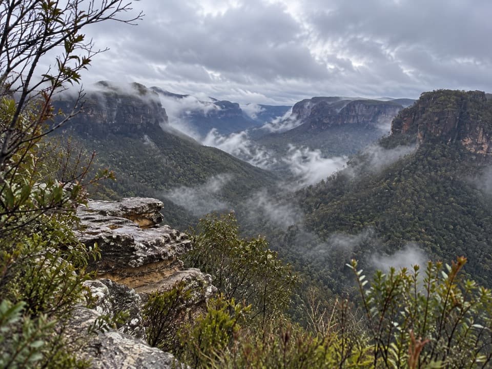
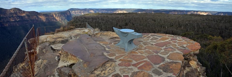
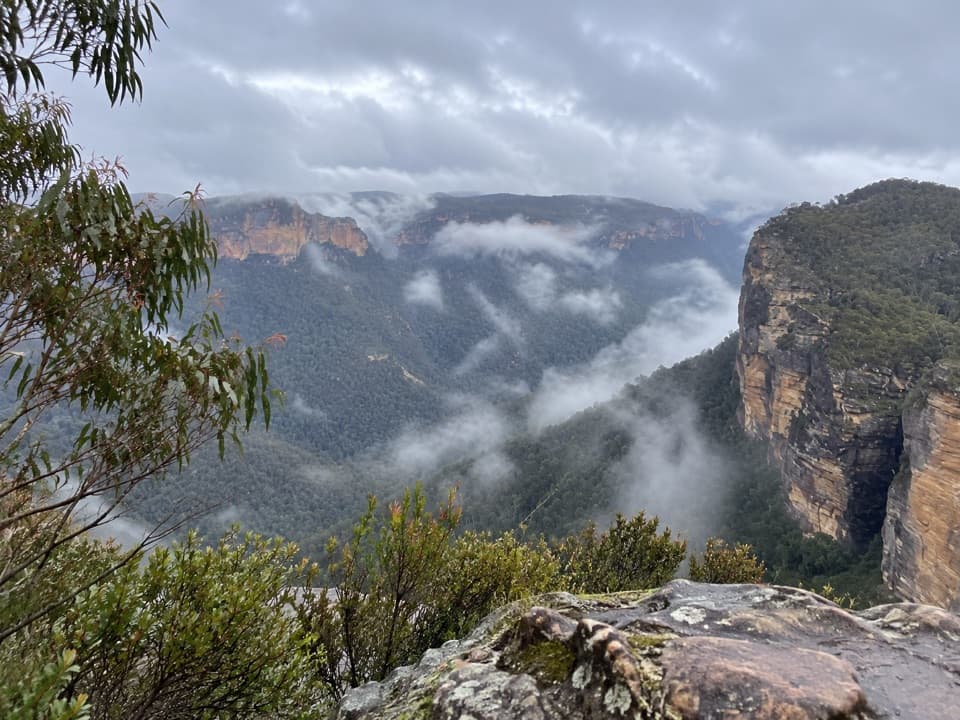
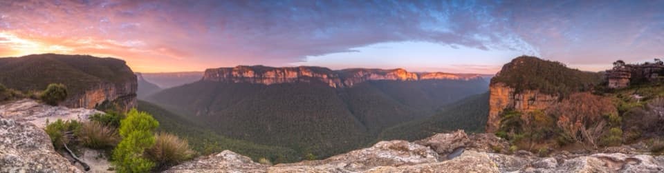
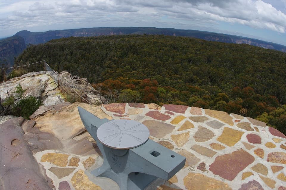
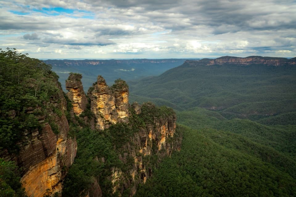
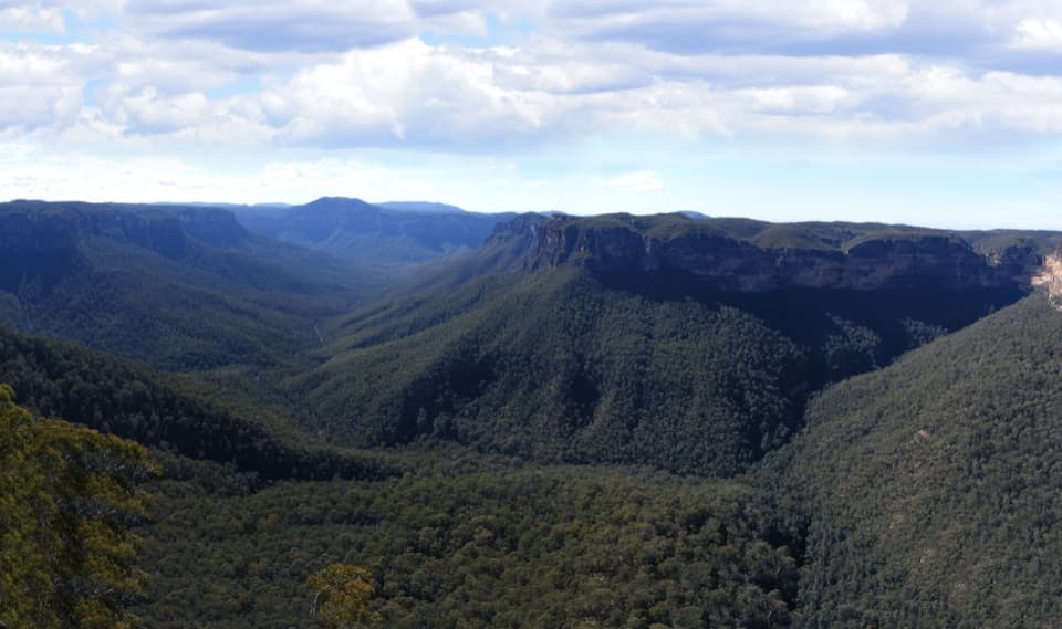
Perched on a sandstone escarpment at the end of Victoria Falls Road near Mount Victoria, Victoria Falls Lookout dishes up sweeping views over the Grose Wilderness. It’s the first stop on the Victoria Falls walking track and sits just a short stroll from the car park—easy to peek, hard to forget.
What You’ll See
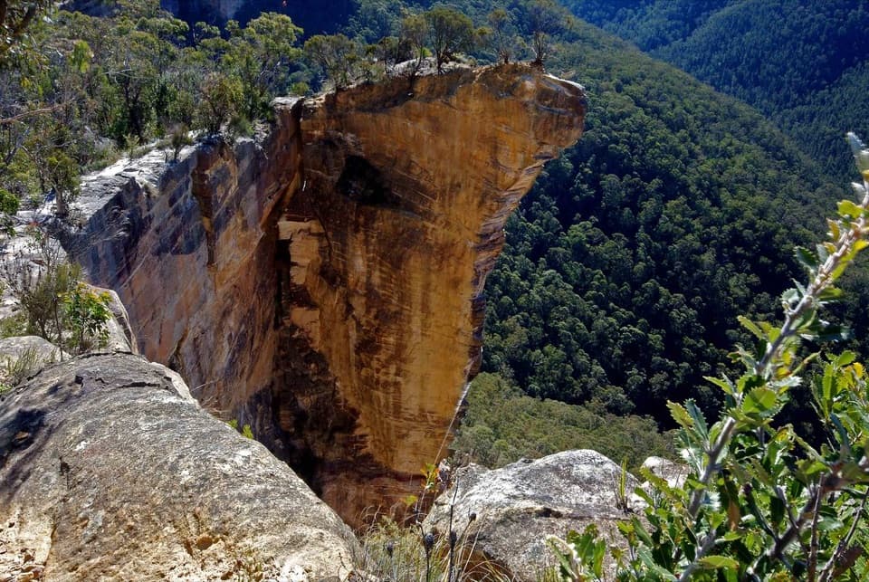
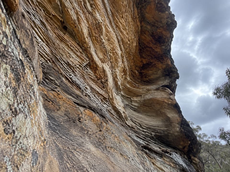
- Grose Valley panoramas: layered sandstone cliffs, vast bushland, and the river far below.
- Water on the move: continue past the lookout to reach Victoria Creek Cascades, the top of Victoria Falls, and—if you commit—the base of the waterfall.
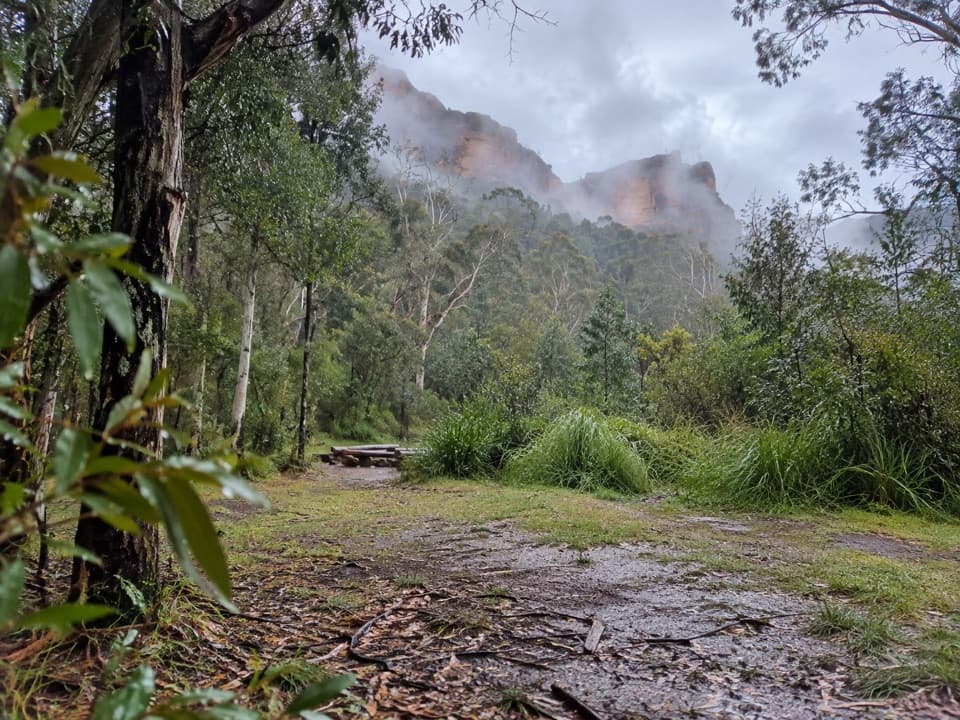
- Lush pockets of eucalypt forest and rainforest along Victoria Creek as you descend.
- Birdlife: listen for sulphur‑crested and yellow‑tailed black cockatoos calling across the valley.
The Walk (Start Here)
To actually see the waterfall, take the main track that begins to the left of the lookout. The path zigzags down the sandstone cliff with short side paths to the cascades and the top of the falls before continuing to the base. The climb back up is the real work—plan 60–90 minutes just for the return ascent. Sections can be rough or slippery after rain, and signage is limited, so bring a map/GPS and good footwear.
Best Time to Visit
Weekdays and outside holiday periods are typically quieter than the marquee lookouts. The track is open around the clock, but this is a daylight walk—give yourself time to get down, linger at the water, and grind back up before dark. After rain, expect slick steps; in fog, valley views can vanish.
Getting There & Logistics
There’s a small car park at the end of Victoria Falls Road (the final stretch is unsealed but generally 2WD‑friendly). No toilets or drinking water here—bring everything you need. Public transport is possible: train to Mount Victoria and then a roughly 6.5 km walk or cycle to the car park (use caution near the highway).
Safety & Difficulty
Steep grades, many steps, and narrow sections make this a solid workout. Stay well back from cliff edges, especially near the lookout and waterfalls. Pack water, snacks, sun protection, and layers. If you’re feeling strong, the track continues beyond the falls toward Burra Korain Flat and the Blue Gum Forest.
Wildlife
This valley rings with bird calls—keep an ear out for cockatoos overhead. Around the falls, expect cool, moist air and lush greenery; some visitors cool off at the base in warm weather, but the water is cold and conditions vary.
Where it is
-33.5736, 150.2912Tips for Victoria Falls Lookout
- 01To see the falls, take the main track that starts to the left of the lookout.
- 02Budget 60–90 minutes for the climb back up from below the falls.
- 03Bring plenty of water and snacks—there are no facilities at the car park.
- 04The final stretch of Victoria Falls Road is unsealed but usually fine for 2WD.
- 05After rain, expect slippery sections; a map or GPS helps where signage is sparse.
Amenities
Near Victoria Falls Lookout
All places →All trails →
0 mi awayVictoria FallsSteep descent to dreamy cascades and a 20 m waterfallTrailhead · Parking
0 mi awayVictoria Falls TrackShort, steep plunge to a shady valley waterfall and ferny cascadesChallenging · 2.5 mi · 2.5 hr
0 mi awayVictoria Falls lookout trackA steep, shady plunge to lush cascades and a thundering waterfallChallenging · 2.5 mi · 2.5 hr
0.4 mi awaySilver CascadesSecluded tiered falls with a refreshing swimming holeParking · Restroom
0.9 mi awayAsgard HeadRemote cliff‑top lookout with big Grose Valley viewsTrailhead · Parking
0.9 mi awayAsgard KilnRemote 19th‑century stone kiln tucked off a quiet bush trackTrailhead · Parking
2.7 mi awayWalls Lookout TrackShort walk, massive Grose Valley cliff views with room to roamEasy · 1.8 mi · 1.5 hr
2.7 mi awayBlue Gum Forest TrackSteep plunge to a cathedral of blue gums in the Grose ValleyChallenging · 2.5 mi · 3.5 hr