Victoria Falls in Blue Mountains National Park

Sight · Blue Mountains National Park

Victoria Falls

A steep descent links a 20 m waterfall with creek cascades.

Type
Sight
Nearest trail
0.6 km
Audio stories
4 nearby
  • Trailhead
  • Parking
  • Restrooms
  • Scenic viewpoint

Hear the audio tour

Victoria Falls: Lookout or Waterfall

Overview

About Victoria Falls

Why stop

  • The walk combines the Grose Valley lookout, creek cascades and waterfall.

Heads up

  • The steep return climb makes this a poor short stop.

Map

Where it is

Loading the Blue Mountains map
Full map
SightVictoria Falls-33.57362, 150.29861
Keep this map with you offline in the Parkwolf app

Plan your stop

Before you go

3 active Blue Mountains alerts

  • ClosureRoads and tracks closed across Blue Mountains National ParkMany roads, fire trails and walking tracks across Blue Mountains National Park are closed; do not enter closed areas.Official details
  • CautionPark-wide solid-fuel fire banA park fire ban is active across Blue Mountains National Park: campfires and solid-fuel barbecues and stoves are prohibited. - Gas and electric cookers are permitted, subject to safety rules.Official details

See all 3 alerts
A park ranger sits on a dash-mounted phone, talking, as Parkwolf’s Tour Guide plays “Army Cutworm Moths: A Grizzly Bear Buffet” on Grand Loop Road below Dunraven Pass in Yellowstone
Parkwolf Tour GuideThe highest, rockiest slopes around here are a summer buffet for grizzly bears.

Blue Mountains Tour Guide

Your drive to Victoria Falls, narrated.

Parkwolf is a GPS audio tour guide for Blue Mountains National Park. As you drive, it chimes in with what’s ahead: hidden gems, upcoming stops, history, geology, and wildlife, right through your car’s speakers.

See the Blue Mountains audio tour

Recorded for this place

Victoria Falls: Lookout or Waterfall
0:00 / 0:30
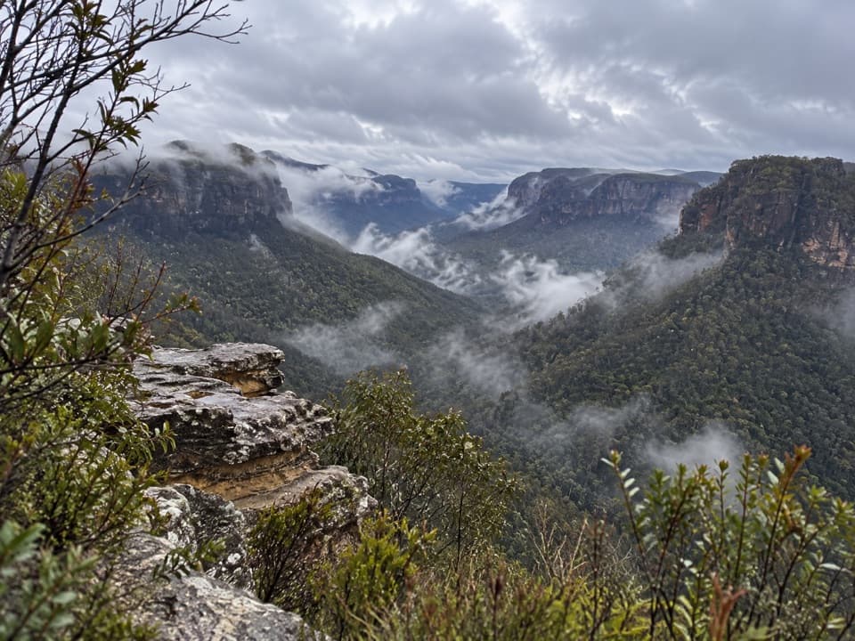
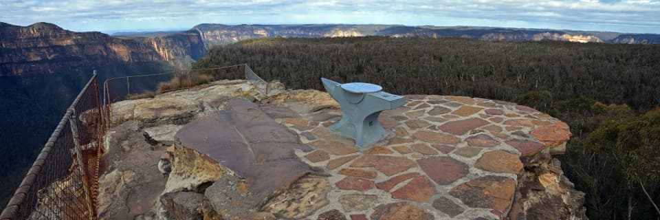
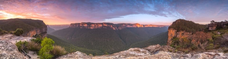
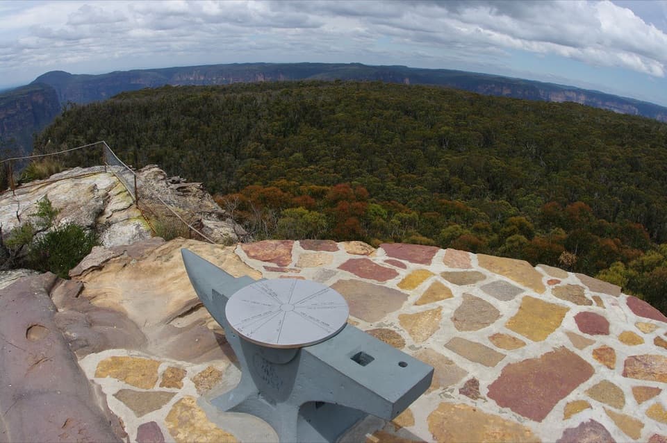
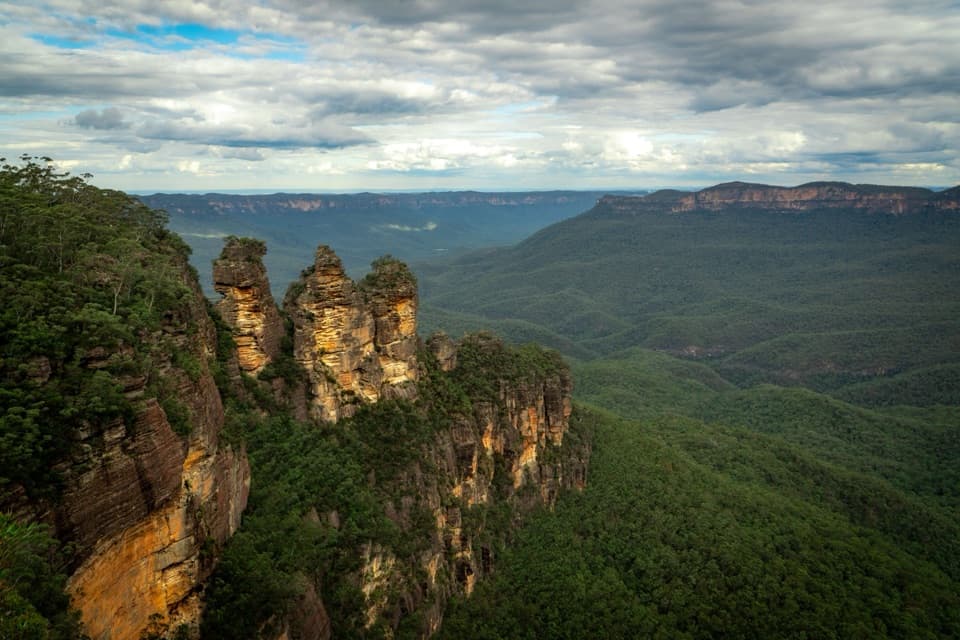
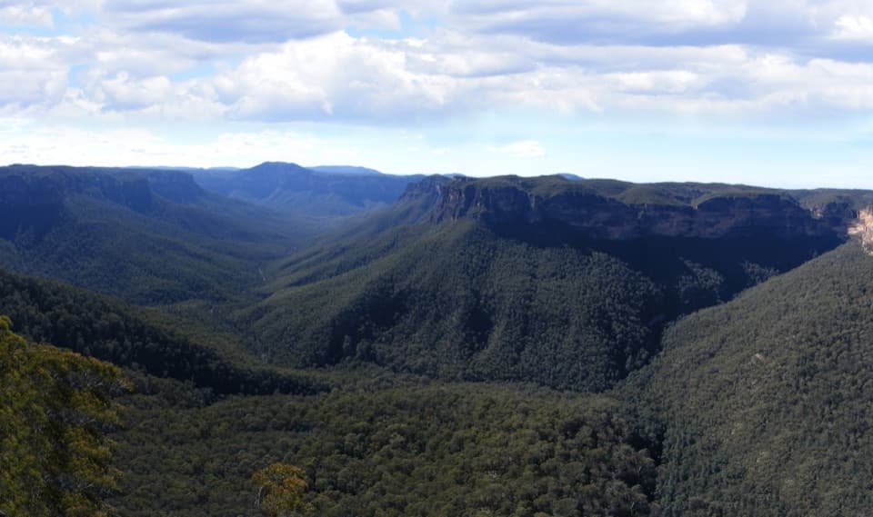
“Victoria Falls lookout is ahead, with a Grose Valley panorama almost as soon as you leave the car park. Stop here for the view without a long walk, but don't expect to see the waterfall from the lookout.”

Plays as you drive up to Victoria Falls in the Parkwolf Blue Mountains Tour Guide.

More stories near here in the app

  • Asgard Head and the Plateau Walk
  • Ikara Head's Rocky Valley View
  • The Bat That Follows Its Nose
  • Pierces Pass and the Rigby Hill Walk
  • 188 audio storiesacross Blue Mountains’s roads, triggered by GPS as you drive
  • Wildlife heatmapsfor Grey Kangaroo, Wombat, Red-necked Wallaby, and 13 more
  • Works offlinemaps, 110 trails, 84 places, and audio download before you lose signal
  • CarPlay readysimple controls built for the drive
★★★★★
“Fantastic app with many points of information… It’s great to just turn on while you’re driving and it gives you an audio tour of the national Park. We love it!!!!”
JMJamesApp Store review
Download Parkwolf on the App StoreGet Parkwolf on Google Play

4.7 from 8,600+ ratings

Guide

More about Victoria Falls

Go for the falls, not a drive-up viewVictoria Falls is a roughly 20 m waterfall on Victoria Creek, in the Blackheath area of Blue…

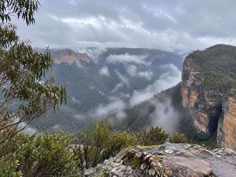
Victoria Falls is a roughly 20 m waterfall on Victoria Creek, in the Blackheath area of Blue Mountains National Park. Reaching the base means a steep 4 km return walk down and back up a sandstone cliff, usually 2 to 2.5 hours. Keep it for a hike day; the lookout near the start is the easier option if the climb is too much, but it gives you a Grose Valley view, not a view of the falls.

The descentSoon after leaving the car park, the track reaches Victoria Falls lookout, above the sandstone…

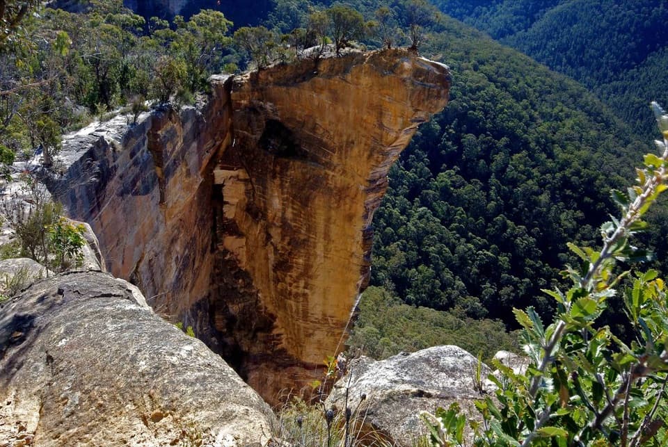
Soon after leaving the car park, the track reaches Victoria Falls lookout, above the sandstone escarpment and Grose Wilderness. Follow the track left from the lookout to continue. Short side paths lead to Victoria Creek Cascades and the top of the falls; the main track carries on to the base. The route is Grade 4: very steep, with many steps, limited signage and some obstacles. The uphill return from the falls takes about 60 to 90 minutes.

Look for water and birdsAt the bottom, the main fall drops about 20 m over a rock overhang.

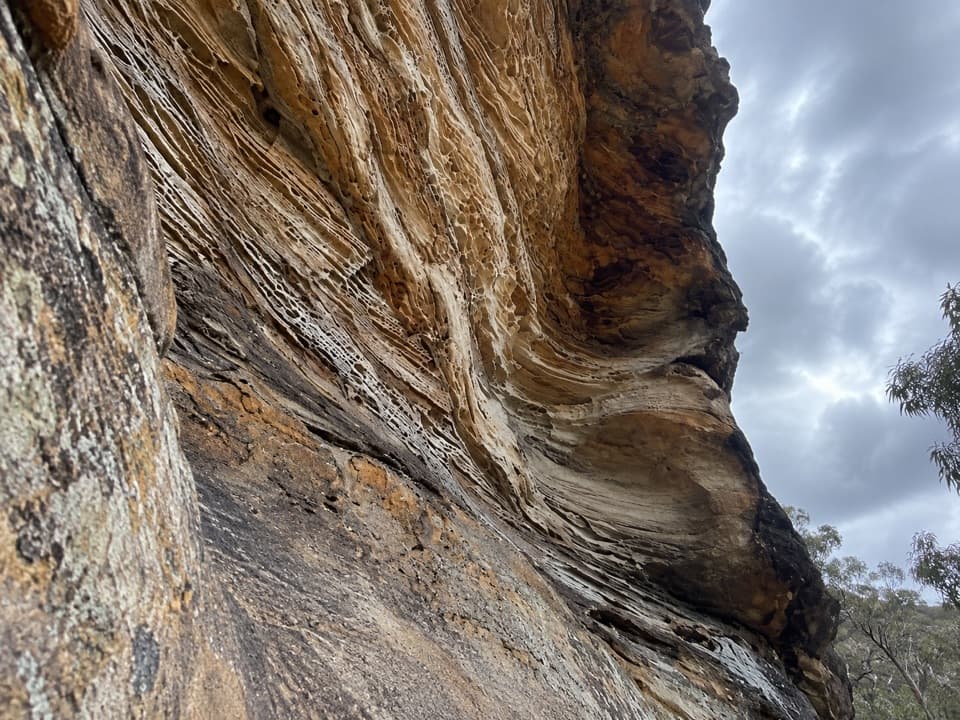
At the bottom, the main fall drops about 20 m over a rock overhang. Victoria Creek Cascades add another water feature along the same walk. The lookout is for the valley; continue down if the waterfall is what you came to see. At the falls, include the rock overhang in your photo and keep well back from the edge. Listen for sulphur-crested and yellow-tailed black cockatoos above the valley.

Before you set outFrom Mount Victoria, follow Victoria Falls Road for 5 km on an unsealed section to the car…

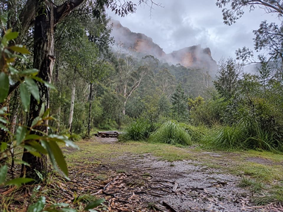
From Mount Victoria, follow Victoria Falls Road for 5 km on an unsealed section to the car park; the road is listed for 2WD vehicles. There’s a toilet at the car park and none along the walk. Bring water and a snack for the route. It isn’t wheelchair accessible, dogs aren’t allowed except certified assistance animals, and mobile reception is limited.

Wildlife

Wildlife in Blue Mountains

All Blue Mountains wildlife maps

Sighting maps show where each species has been reported across Blue Mountains. Wildlife moves, so no sighting is guaranteed.

Keep exploring

Near Victoria Falls

See it all on the map

Trails nearby

More stops nearby

Parkwolf’s Blue Mountains ranking

Top sights in Blue Mountains

All 84 places
  1. 1Echo Point Lookout (Three Sisters)Sight
  2. 2Govetts Leap lookoutSight
  3. 3Wentworth FallsSight
  4. 4Scenic WorldSight
  5. 5Katoomba FallsSight
  6. 6Evans lookoutSight

Take Parkwolf to Blue Mountains.

The audio tour guide for the drive, plus offline maps, trails, and wildlife heatmaps for when the signal drops.

4.7 from 8,600+ ratings

Download Parkwolf on the App StoreGet Parkwolf on Google Play