
Place
Moderate
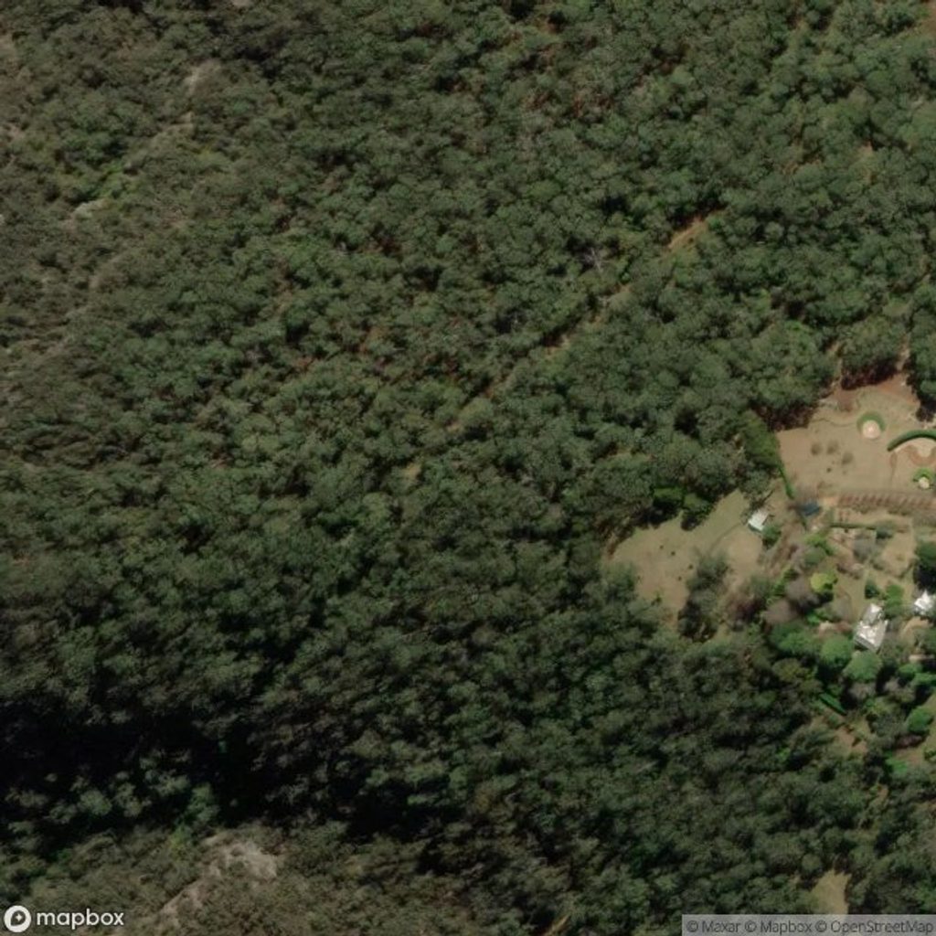
This is Mount Wilson’s classic access route into the Wollangambe River—a short, mostly downhill out-and-back that earns its keep on the climb out. It’s about 3.2 miles total (1.6 miles each way), with roughly 100–150 m of elevation change. The track is clear and well-signposted at the start, then becomes more rugged as you near the river. Think eucalypt forest, glimpses of sandstone cliffs, and proper Blue Mountains bush under tall gums.
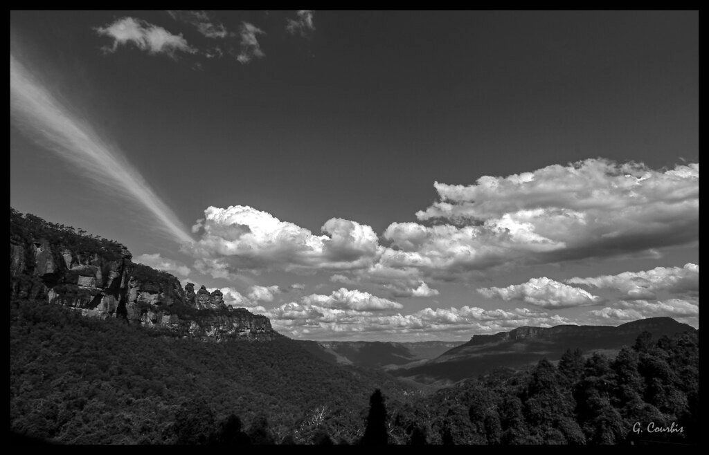
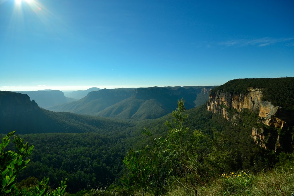
Expect open eucalypt forest with seasonal wildflowers (including waratahs in spring) and plenty of birdlife—cockatoos are regulars. The descent dabbles in cliff views and native bush before delivering you to the Wollangambe’s sandy edges. Upstream you’ll find calm pools; downstream it gets bouldery with rapids. Views from nearby lookouts like Du Faurs Rocks take in deep canyons and remote wilderness if you want more sweeping scenery without heading into the river.
It starts gently, then trends downhill, with one short hill and occasional scratchy vegetation but never truly overgrown. The return is the workout—steady, sustained climbing back to the plateau. The first section is well marked, including signposted junctions (e.g., Joes Canyon). Past the canyon turnoff, signage disappears and navigation skills matter if you plan to go beyond the basic river access.
Great for hikers who want a taste of the Wollangambe without committing to a long canyon day. Casual walkers can do the river return in 1.5–2 hours. If you’re here to swim, float, or canyon, bring the right kit and fitness—this is the standard gateway to the area and sees canyoners and occasional commercial groups in peak season.
Late spring through early autumn is prime: warmer weather for river time and spring blooms to sweeten the forest. Winter walking is fine but the water is cold, so skip the swims. Avoid or delay your trip during/after heavy rain—flash flooding is a real risk here. For wildlife and quieter track time, go early or late in the day.
Carry water, snacks, and sturdy shoes; expect rough, uneven surfaces. If you’re venturing beyond the marked section toward canyon routes, bring a map/compass or GPS, leave a trip intention, and consider borrowing a PLB. For canyoning, pack a wetsuit and flotation and be extra conservative with weather. If you want big views without the river descent, drive or walk to Du Faurs Rocks instead.
Free parking at Mount Wilson Fire Station trailhead.
Flash flooding risk during/after rain; steep, sustained exit; track becomes unmarked past canyon turnoffs—carry navigation, leave a trip intention, and consider a PLB. Cold river water in winter.
Place
Place
Place
Place
Challenging
Moderate
Challenging

Challenging

Parkwolf Tour Guide
