Waterrock Knob Visitor Center and Overlooks in Blue Ridge Parkway

Visitor center · Blue Ridge Parkway

Waterrock Knob Visitor Center and Overlooks

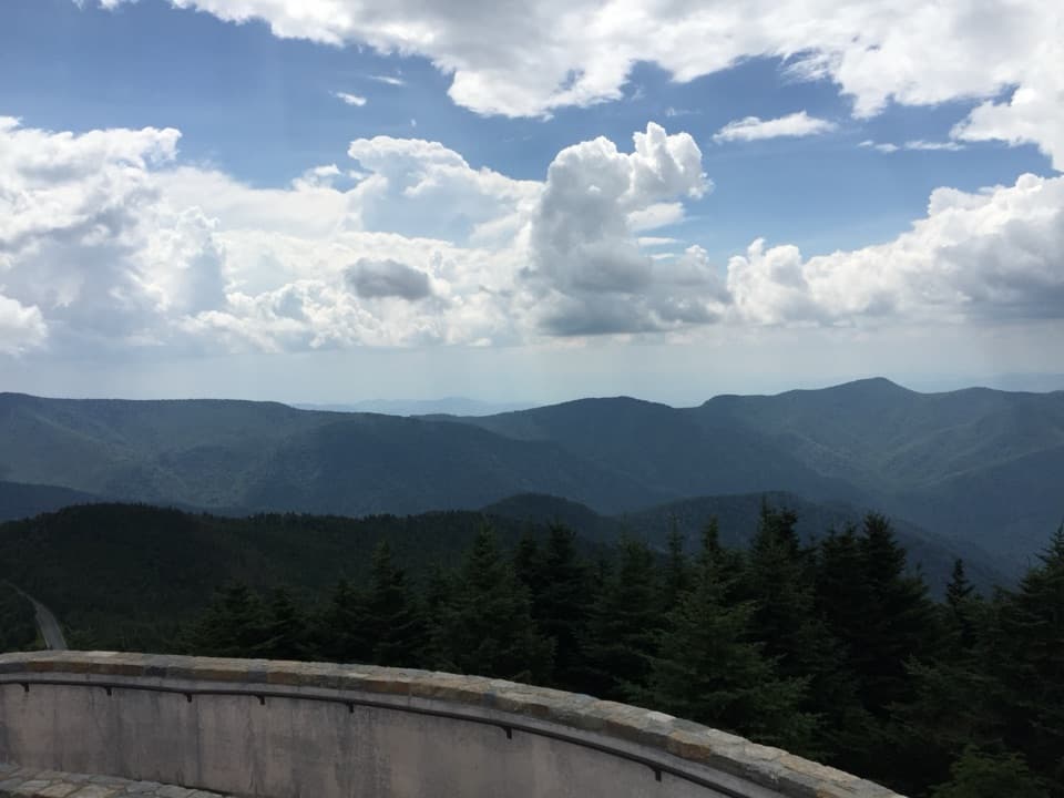
The views start in the parking lot; the summit trail is extra.

Photo: NPS Photo / Gail Fox

Type
Visitor center
Nearest trail
Right here
Audio stories
4 nearby
  • Scenic viewpoint
  • Trailhead
  • Parking
  • Picnic tables

Hear the audio tour

Waterrock Knob: Views Without the Climb
Download Parkwolf on the App StoreGet Parkwolf on Google Play

4.7 from 8,600+ ratings

Overview

About Waterrock Knob Visitor Center and Overlooks

Why stop

  • Long-range views start in the parking area.

Heads up

  • The summit path gets steep and uneven after its paved opening.

Map

Where it is

Loading the Blue Ridge Parkway map
Full map
Visitor centerWaterrock Knob Visitor Center and Overlooks35.46019, -83.14102
Keep this map with you offline in the Parkwolf app

Plan your stop

Before you go

Best time to go

Picnic tables and drinking water are available, but there’s no meal service. The visitor center and restrooms operate seasonally, so check their schedule before counting on either. At this elevation the air can feel chilly, especially if you linger around sunrise or sunset; bring a layer.


7 active Blue Ridge Parkway alerts

  • ClosureWeather closures near Craggy Gardens and southern ParkwayWeather closures block Parkway sections near Craggy Gardens and south of Beech Gap, as well as Mount Mitchell State Park and Heintooga Spur Road; do not enter closed roads. - MP 355.3–375.Official details
  • ClosureHurricane Helene closures and hazards in North CarolinaDo not enter closed Parkway sections, trails, facilities, or adjacent NPS lands in North Carolina; recreation is prohibited in the closed NC Highway 80–Mount Mitchell section. - The MP 344.2–355.Official details
See all 7 alerts
A park ranger sits on a dash-mounted phone, talking, as Parkwolf’s Tour Guide plays “Army Cutworm Moths: A Grizzly Bear Buffet” on Grand Loop Road below Dunraven Pass in Yellowstone
Parkwolf Tour GuideThe highest, rockiest slopes around here are a summer buffet for grizzly bears.

Blue Ridge Parkway Tour Guide

Your drive to Waterrock Knob Visitor Center and Overlooks, narrated.

Parkwolf is a GPS audio tour guide for Blue Ridge Parkway. As you drive, it chimes in with what’s ahead: hidden gems, upcoming stops, history, geology, and wildlife, right through your car’s speakers.

See the Blue Ridge Parkway audio tour

Recorded for this place

Waterrock Knob: Views Without the Climb
0:00 / 0:30
“You're approaching the Waterrock Knob visitor area, where the main parking lot already gives you a broad view toward the Smokies. I'd stop for that panorama even without a hike.”

Plays as you drive up to Waterrock Knob Visitor Center and Overlooks in the Parkwolf Blue Ridge Parkway Tour Guide.

More stories near here in the app

  • Cranberry Ridge and Woolyback: Choose Your View
  • The Tree Behind Sourwood Honey
  • Thunderstruck Ridge: A Roadside Valley View
  • Woodfin Cascades and Mount Lyn Lowry
  • 298 audio storiesacross Blue Ridge Parkway’s roads, triggered by GPS as you drive
  • Wildlife heatmapsfor Black Bear, Elk, White-tailed Deer, and 13 more
  • Works offlinemaps, 145 trails, 251 places, and audio download before you lose signal
  • CarPlay readysimple controls built for the drive
★★★★★
“…We knew we wanted to drive the Blue Ridge Parkway. The narration was impeccably timed. The facts and info provided were meaningful. Without it, the trip would not have been near as awesome.”
Ashl GApp Store review
Download Parkwolf on the App StoreGet Parkwolf on Google Play

4.7 from 8,600+ ratings

Guide

More about Waterrock Knob Visitor Center and Overlooks

A sweeping view before the climbWaterrock Knob is the Blue Ridge Parkway’s highest visitor center, perched at 5,820 feet at…

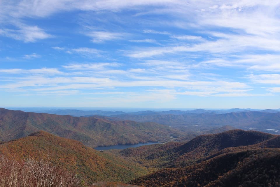
Waterrock Knob is the Blue Ridge Parkway’s highest visitor center, perched at 5,820 feet at milepost 451.2. Its open parking area doubles as a broad overlook, with Appalachian ridges reaching toward the Great Smoky Mountains. I’d stop even if I had no appetite for a hike: the main panorama starts in the lot. Sunrise and sunset suit the long views, though cloud can hide the ridges. For a photo, put a concrete picnic table in the foreground; no summit climb needed.

The summit is optionalThe summit route is about a mile round trip with 460 feet of gain. Its first 0.

The summit route is about a mile round trip with 460 feet of gain. Its first 0.2 mile is paved; after that, the trail turns uneven and sometimes steep, with dirt and rock underfoot. This short uphill climb adds height and another angle across the ridge. If you only want the broad panorama, the parking area is enough; take the trail when you want the extra climb and viewpoint.

A Cherokee story in the visitor centerInside, you’ll find maps, ranger information, a park store and exhibits.

Inside, you’ll find maps, ranger information, a park store and exhibits. A 12-foot mural follows the area’s plants and wildlife through the seasons and points out colorful rock formations nearby. One panel shares a Cherokee creation story in which a buzzard’s wings shape the peaks and valleys.

The forest is part of the exhibitHigh-elevation deciduous trees mix with spruce and fir around the center.

High-elevation deciduous trees mix with spruce and fir around the center. Other displays explain elk returning to the Parkway and the balsam woolly adelgid, an insect that has killed many of the trees visible through a large window. It’s a neat way to connect the far-off panorama with the life on the ridge around you.

Wildlife

Wildlife in Blue Ridge Parkway

All Blue Ridge Parkway wildlife maps

Sighting maps show where each species has been reported across Blue Ridge Parkway. Wildlife moves, so no sighting is guaranteed.

Parkwolf’s Blue Ridge Parkway ranking

Top sights in Blue Ridge Parkway

All 251 places
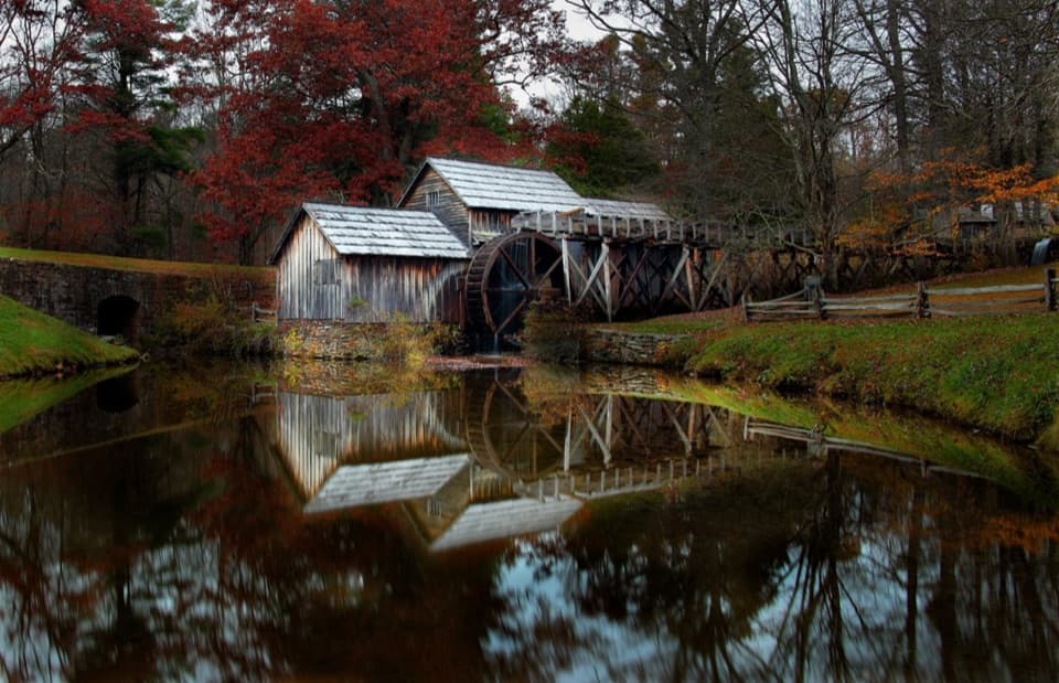
  1. 1Mabry MillSight
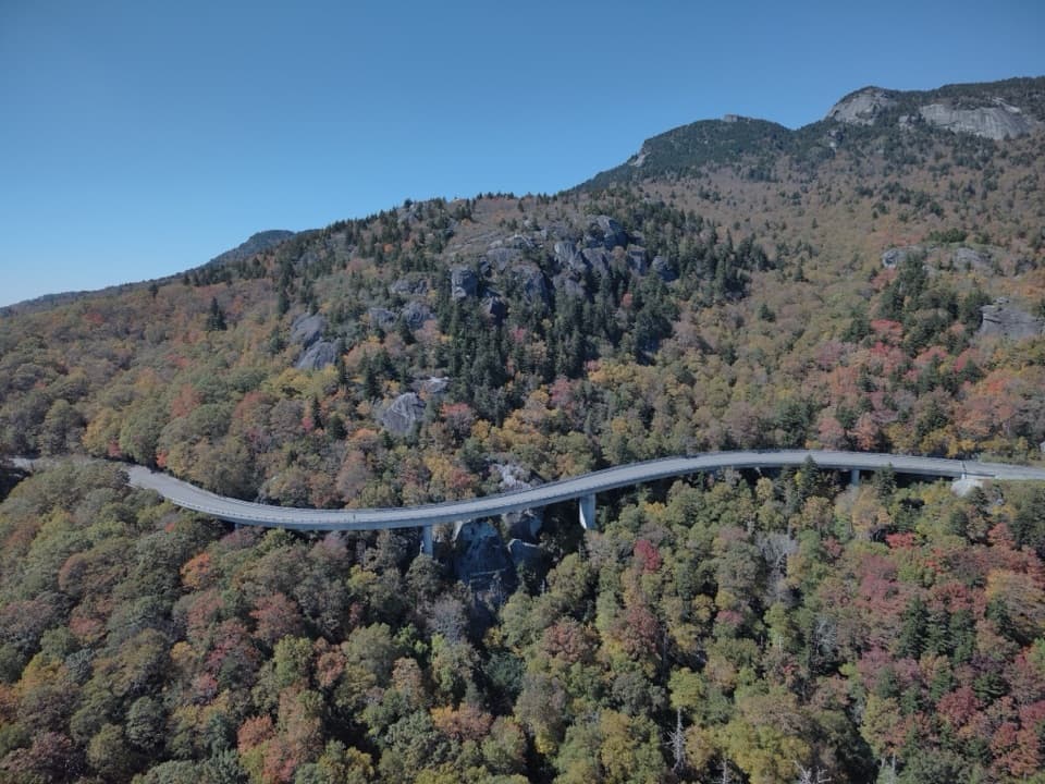
  2. 2Linn Cove ViaductSight
  3. 3Linville FallsSight
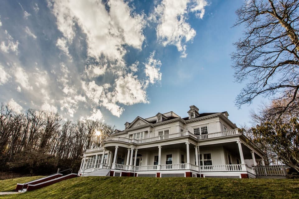
  4. 4Moses H. Cone Memorial Park and Flat Top ManorSight
  5. 5Mount Mitchell SummitSight
  6. 6Craggy PinnacleSight

Take Parkwolf to Blue Ridge Parkway.

The audio tour guide for the drive, plus offline maps, trails, and wildlife heatmaps for when the signal drops.

4.7 from 8,600+ ratings

Download Parkwolf on the App StoreGet Parkwolf on Google Play