Lone Pine Picnic Area in Booderee National Park

Picnic area · Booderee National Park

Lone Pine Picnic Area

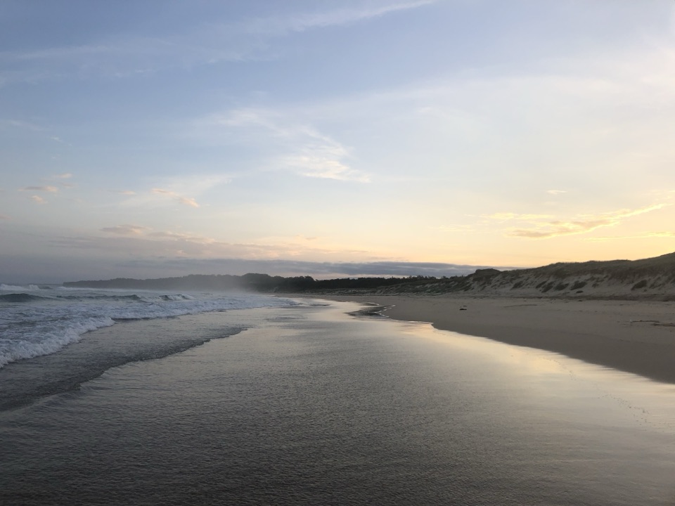
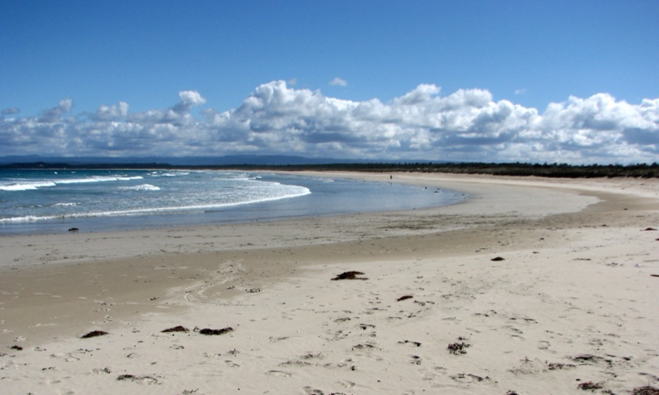
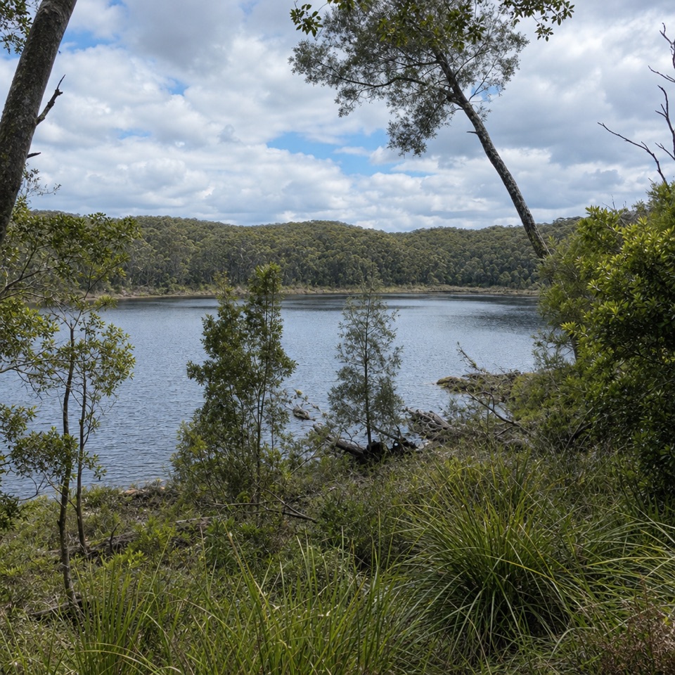
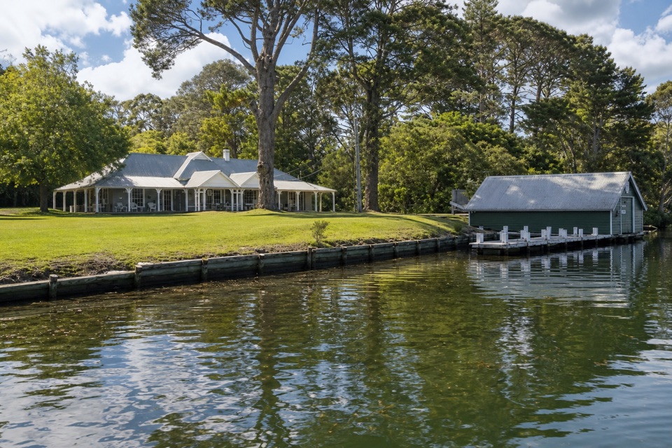
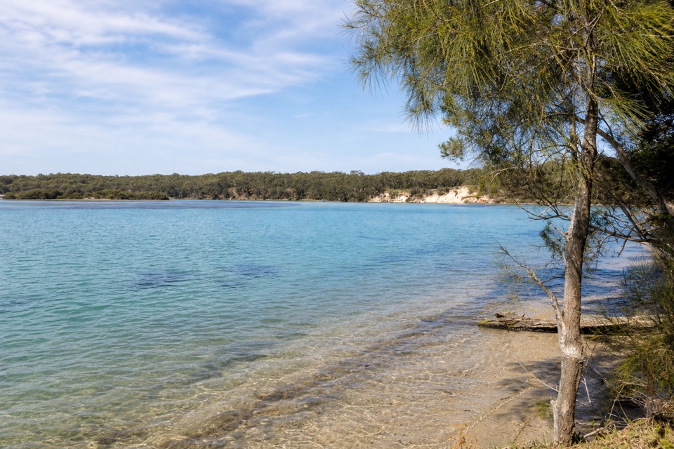
A small picnic stop with an open Sussex Inlet view.

Type
Picnic area
Nearest trail
3.9 km
Audio stories
3 nearby
  • Scenic viewpoint

Hear the audio tour

Lone Pine Picnic Area

Overview

About Lone Pine Picnic Area

Why stop

  • A direct view over Sussex Inlet.

Heads up

  • Ellmoos Road is unsealed.

Map

Where it is

Loading the Booderee map
Full map
Picnic areaLone Pine Picnic Area-35.17109, 150.59805
Keep this map with you offline in the Parkwolf app

Plan your stop

Before you go

3 active Booderee alerts

  • CautionH5 avian influenza detectedH5 avian influenza (bird flu) has been detected in a greater crested tern in Booderee National Park; the park remains open, but visitors must avoid contact with sick or dead wildlife.Official details
  • ClosureIluka Beach access closedIluka Beach day-use area and beach-access staircase are closed while repair works are carried out, leaving Iluka Beach inaccessible via the beach track.Official details

See all 3 alerts
A park ranger sits on a dash-mounted phone, talking, as Parkwolf’s Tour Guide plays “Army Cutworm Moths: A Grizzly Bear Buffet” on Grand Loop Road below Dunraven Pass in Yellowstone
Parkwolf Tour GuideThe highest, rockiest slopes around here are a summer buffet for grizzly bears.

Booderee Tour Guide

Your drive to Lone Pine Picnic Area, narrated.

Parkwolf is a GPS audio tour guide for Booderee National Park. As you drive, it chimes in with what’s ahead: hidden gems, upcoming stops, history, geology, and wildlife, right through your car’s speakers.

Recorded for this place

Lone Pine Picnic Area
0:00 / 0:15
“Up ahead is Lone Pine Picnic Area, a small roadside stop overlooking Sussex Inlet. I'd use it for a short pause if you're already exploring Ellmoos Road, with water and a low, wooded shore across the view.”

Plays as you drive up to Lone Pine Picnic Area in the Parkwolf Booderee Tour Guide.

More stories near here in the app

  • The Cove Jervis Bay: A Beachfront Stay
  • Why the Sand Is Pale
  • Pimple Track to Bherwerre Beach
  • Shelter Between the Burned Patches
  • 23 audio storiesacross Booderee’s roads, triggered by GPS as you drive
  • Wildlife heatmapsfor Grey Kangaroo, Echidna, Red-necked Wallaby, and 13 more
  • Works offlinemaps, 14 trails, 33 places, and audio download before you lose signal
  • CarPlay readysimple controls built for the drive
★★★★★
“Fantastic app with many points of information… It’s great to just turn on while you’re driving and it gives you an audio tour of the national Park. We love it!!!!”
JMJamesApp Store review
Download Parkwolf on the App StoreGet Parkwolf on Google Play

4.7 from 8,600+ ratings

Guide

More about Lone Pine Picnic Area

A small roadside picnic stopLone Pine Picnic Area is a small stop on Booderee's southwest side, beside Sussex Inlet along…

Lone Pine Picnic Area is a small stop on Booderee's southwest side, beside Sussex Inlet along Ellmoos Road. Keep it as a short pause if you're already exploring this end of the park; the inlet view is the point, rather than a large attraction or a planned outing.

Plan around the roadEllmoos Road is unsealed.

Ellmoos Road is unsealed. The stop's parking layout and facilities aren't established, so don't count on a picnic table, toilet or drinking water if your plans depend on them.

Look across the inletFrom Lone Pine, the view opens over Sussex Inlet toward a low, wooded far shore, with a sandy…

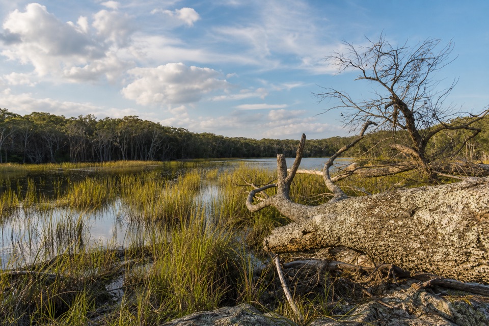
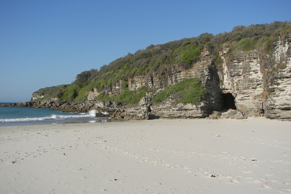
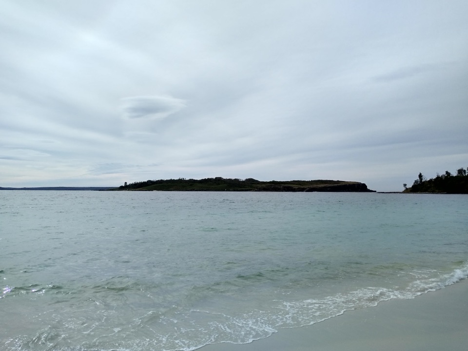
From Lone Pine, the view opens over Sussex Inlet toward a low, wooded far shore, with a sandy edge beside the water. It's a simple place to stop, stretch your legs and take in the inlet before continuing along the road.

Wildlife

Wildlife in Booderee

All Booderee wildlife maps

Sighting maps show where each species has been reported across Booderee. Wildlife moves, so no sighting is guaranteed.

Parkwolf’s Booderee ranking

Top sights in Booderee

All 33 places
  1. 1Murrays BeachBeach
  2. 2Green Patch BeachBeach
  3. 3Cape St George LighthouseSight
  4. 4Booderee Botanic GardensSight
  5. 5Cave BeachBeach
  6. 6Governors Head LookoutSight

Take Parkwolf to Booderee.

The audio tour guide for the drive, plus offline maps, trails, and wildlife heatmaps for when the signal drops.

4.7 from 8,600+ ratings

Download Parkwolf on the App StoreGet Parkwolf on Google Play