Cave Beach to Bherwerre Beach Walk in Booderee National Park

#6 of 14 trails in Booderee

Booderee National Park, JBT

Cave Beach to Bherwerre Beach Walk

A short walk from Cave Beach through Ryans Swamp to Bherwerre Beach.

Photo: Wikimedia Commons
Length
1.8km
Time
45min
Elev. change
20m
Difficulty
Easy
  • No dogs
  • High point 27 m

Hear the audio tour

Cave Beach: Surf and Shoreline Caves

Overview

About Cave Beach to Bherwerre Beach Walk

Why go

  • A short, easy route pairs wetland wildlife with a long ocean beach.

Heads up

  • The short route returns the same way; the fire-trail loop is a separate, longer walk.

Map & elevation

The route

Loading the Booderee map
Full map
Elevation7–27 m
TrailheadCave Beach Car Park-35.15913, 150.66912
Keep this map with you offline in the Parkwolf app

Plan your hike

Before you go

Parking

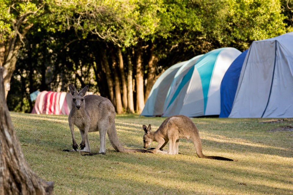
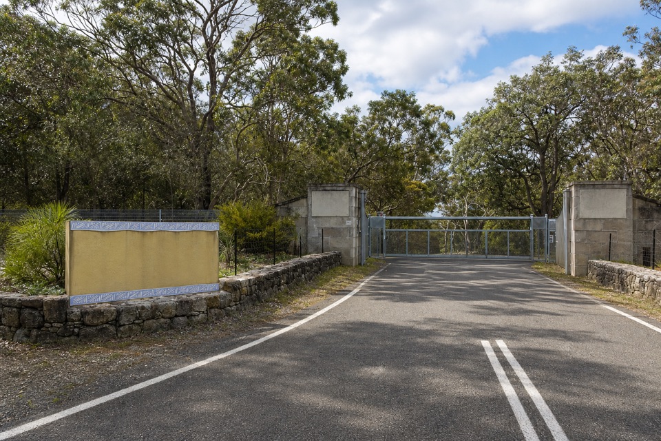
Start at Cave Beach Car Park at the end of Cave Beach Road. The campground is about 300 m from the lot; continue through it and take the trail on its western side around Ryans Swamp. A vehicle pass is required to drive into the park; people entering on foot or bicycle do not need one.


Safety

Pets are not permitted within Booderee National Park.

3 active Booderee alerts

  • CautionH5 avian influenza detectedH5 avian influenza (bird flu) has been detected in a greater crested tern in Booderee National Park; the park remains open, but visitors must avoid contact with sick or dead wildlife.Official details
  • ClosureIluka Beach access closedIluka Beach day-use area and beach-access staircase are closed while repair works are carried out, leaving Iluka Beach inaccessible via the beach track.Official details
See all 3 alerts
A park ranger sits on a dash-mounted phone, talking, as Parkwolf’s Tour Guide plays “Army Cutworm Moths: A Grizzly Bear Buffet” on Grand Loop Road below Dunraven Pass in Yellowstone
Parkwolf Tour GuideThe highest, rockiest slopes around here are a summer buffet for grizzly bears.

Booderee Tour Guide

Your drive to Cave Beach to Bherwerre Beach Walk, narrated.

Parkwolf is a GPS audio tour guide for Booderee National Park. As you drive, it chimes in with what’s ahead: hidden gems, upcoming stops, history, geology, and wildlife, right through your car’s speakers.

Recorded for this trailhead

Cave Beach: Surf and Shoreline Caves
0:00 / 0:32
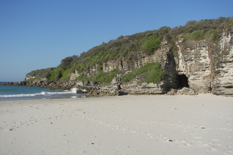
“You're nearing Cave Beach's car park, with a walk through the day-use area to reach the sand. Come for the open ocean shore and surf; the caves are small, shallow openings in the rocky edge.”

Plays as you drive up to this trailhead in the Parkwolf Booderee Tour Guide.

More stories near here in the app

  • Booderee Botanic Gardens
  • A Power Station Plan at Murrays
  • Shelter Between the Burned Patches
  • Who Scribbled on the Gums?
  • 23 audio storiesacross Booderee’s roads, triggered by GPS as you drive
  • Wildlife heatmapsfor Grey Kangaroo, Echidna, Red-necked Wallaby, and 13 more
  • Works offlinemaps, 14 trails, 33 places, and audio download before you lose signal
  • CarPlay readysimple controls built for the drive
★★★★★
“Fantastic app with many points of information… It’s great to just turn on while you’re driving and it gives you an audio tour of the national Park. We love it!!!!”
JMJamesApp Store review
Download Parkwolf on the App StoreGet Parkwolf on Google Play

4.7 from 8,600+ ratings

Trail guide

Hiking Cave Beach to Bherwerre Beach Walk

A short out-and-back to BherwerreThis easy Grade 2 walk starts at Cave Beach car park, follows the main trail to the campground,…

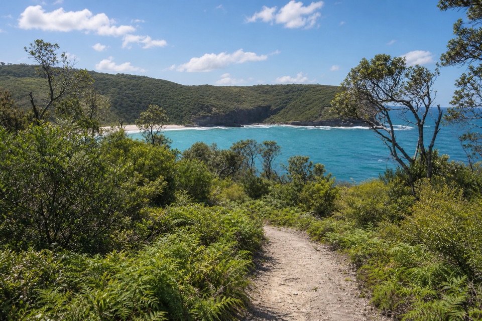
This easy Grade 2 walk starts at Cave Beach car park, follows the main trail to the campground, then takes the track from the camp's western side around Ryans Swamp to Bherwerre Beach. The park lists 900 m one way, so plan on about 1.8 km (1.12 miles) there and back. Allow 30 to 45 minutes, depending on how long you stop by the swamp and shore. Return by the same route; the separate fire-trail circuit is a longer 2.8 km loop.

Ryans SwampThe swamp is the point of interest on the way.

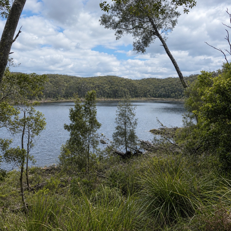
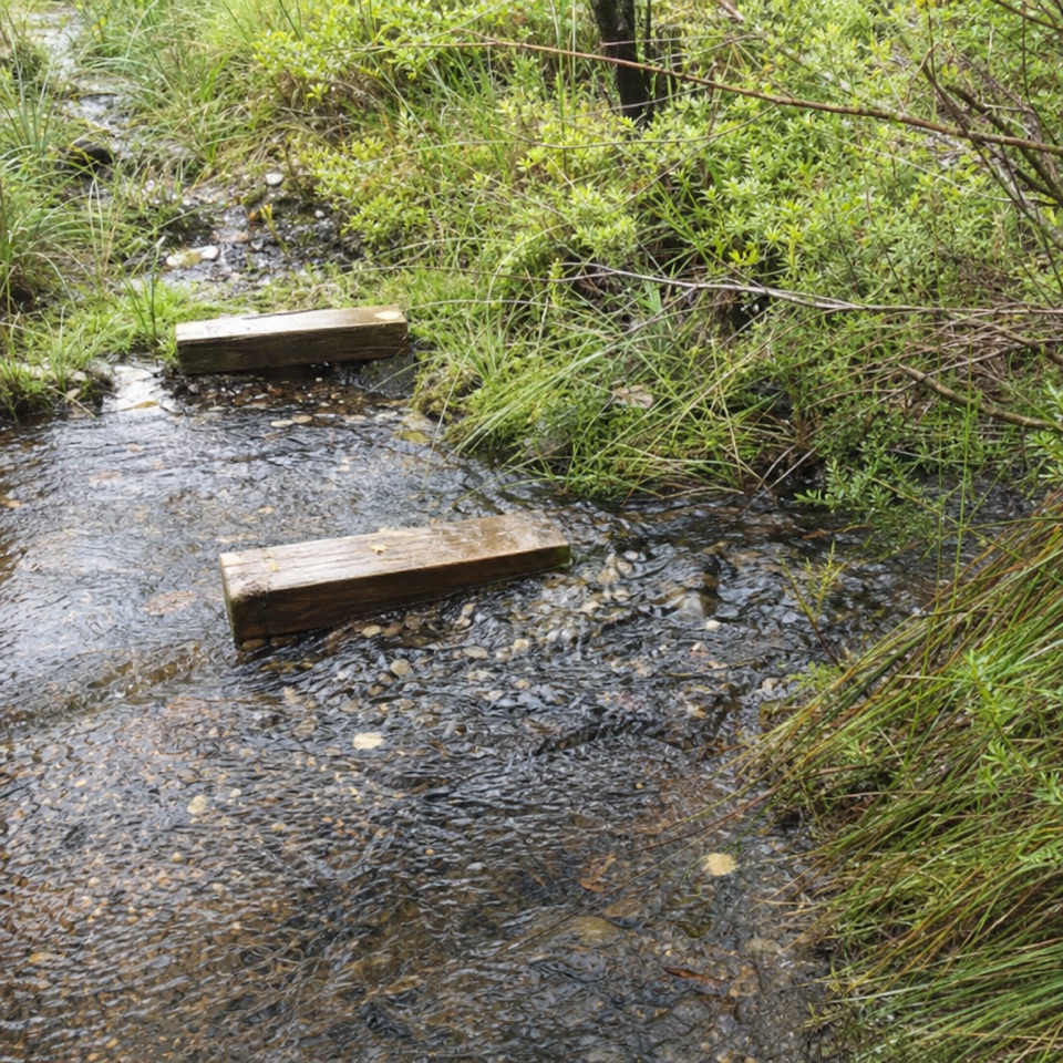
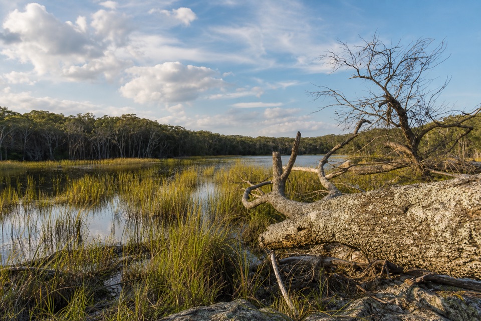
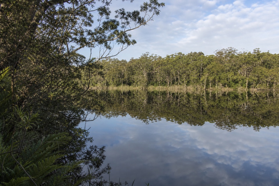
The swamp is the point of interest on the way. The park says it draws swamp hens, egrets and ducks, and is also habitat for frogs, snakes and turtles. It's a good place to pause and look into the wetland, though wildlife sightings are never guaranteed.

Beach and facilitiesBherwerre is a long, south-facing ocean beach and a worthwhile turn-around for a short coastal…

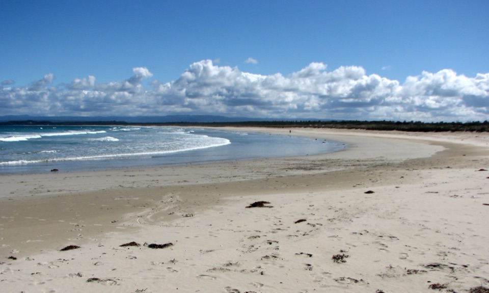
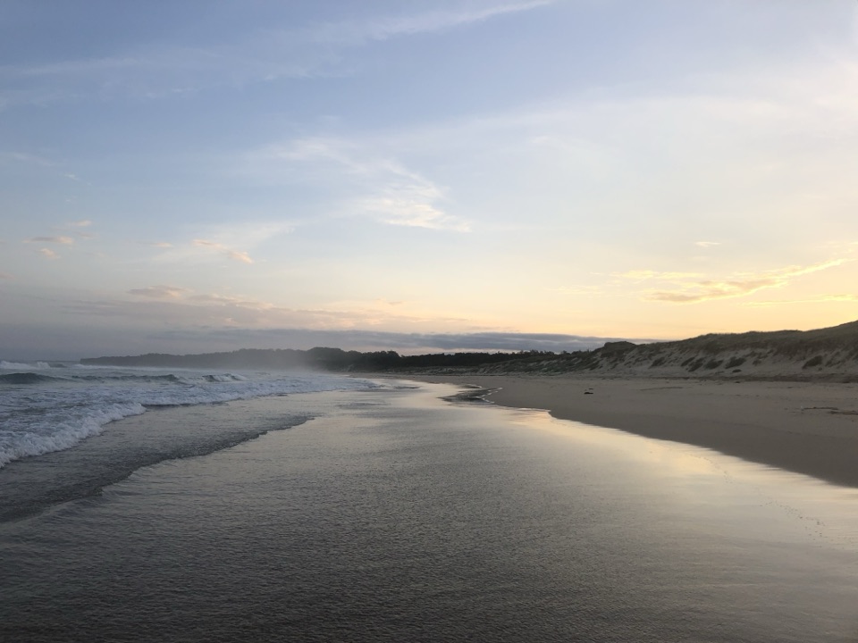
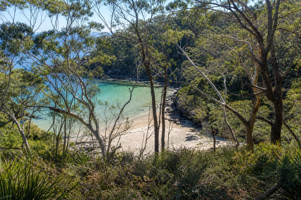
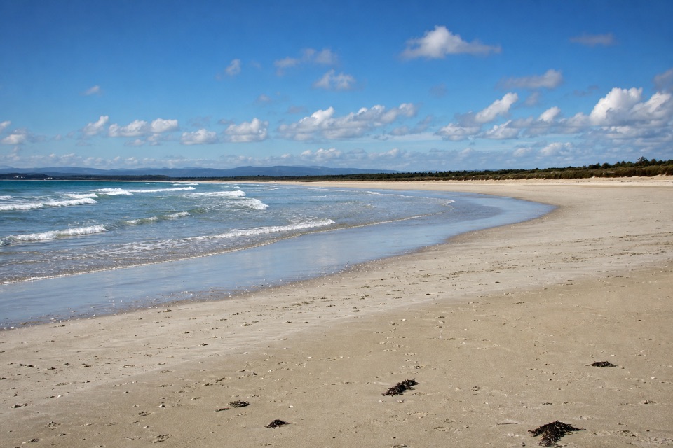
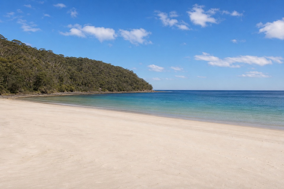
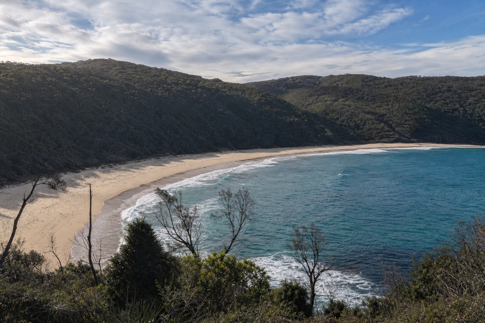
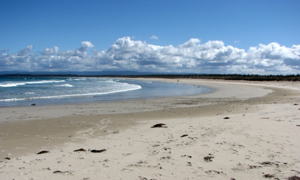
Bherwerre is a long, south-facing ocean beach and a worthwhile turn-around for a short coastal walk. The Cave Beach camping area is about 300 m from the car park and has fresh water, public toilets, cold-water showers and barbecue facilities along the route. Pets are not permitted in Booderee National Park; a vehicle pass is required to drive in, while people entering on foot or bicycle do not need one.

Wildlife

Wildlife in Booderee

All Booderee wildlife maps

Sighting maps show where each species has been reported across Booderee. Wildlife moves, so no sighting is guaranteed.

Keep exploring

Near Cave Beach to Bherwerre Beach Walk

See it all on the map

Trails that start nearby

Places near the trailhead

Parkwolf’s Booderee ranking

Top-rated trails in Booderee

All 14 trails
  1. 1Munyunga waraga dhugan Loop WalkEasy · 6.1 km
  2. 2Steamers Beach WalkModerate · 4.6 km
  3. 3Booderee Circuit TrailModerate · 11.4 km
  4. 4Murrays Beach to Governors Head WalkEasy · 2.2 km
  5. 5St Georges Head TrailModerate · 13.8 km
  6. 7Telegraph Creek Nature TrailEasy · 2.4 km

Take Parkwolf to Booderee.

The audio tour guide for the drive, plus offline maps, trails, and wildlife heatmaps for when the signal drops.

4.7 from 8,600+ ratings

Download Parkwolf on the App StoreGet Parkwolf on Google Play