Parking
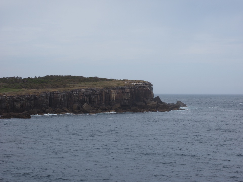
Use the roadside pull-off at the northern Pimple Track access on Ellmoos Road. Exact bay capacity and facilities are unconfirmed.
Booderee National Park, JBT
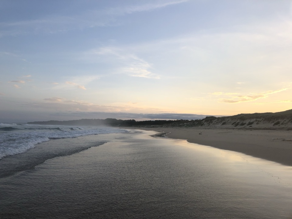
A 4 km return walk to Bherwerre’s long, south-facing surf beach.
Overview
Pimple Track is a 1.98 km one-way bush track from roadside access on Ellmoos Road to Bherwerre Beach. For the usual car-based walk, turn around at the shore and retrace the route: that makes a 4 km (2.46-mile) out-and-back. Allow about 1½ hours for the walk, then add beach time. There is little climbing; the last stretch gets sandy as it reaches the shore.
 Parkwolf’s verdictThe beach is the payoff
Map & elevation
Plan your hike

The highest, rockiest slopes around here are a summer buffet for grizzly bears.
Booderee Tour Guide
Parkwolf is a GPS audio tour guide for Booderee National Park. As you drive, it chimes in with what’s ahead: hidden gems, upcoming stops, history, geology, and wildlife, right through your car’s speakers.
Recorded for this trailhead
Pimple Track to Bherwerre Beach“You're coming up on Pimple Track's roadside start, for a bush walk to Bherwerre Beach. Allow about an hour and a half for the four-kilometre return, plus beach time; there's little climbing, with sand near the shore.”
Plays as you drive up to this trailhead in the Parkwolf Booderee Tour Guide.
More stories near here in the app
“Fantastic app with many points of information… It’s great to just turn on while you’re driving and it gives you an audio tour of the national Park. We love it!!!!”


Trail guide
From the roadside access, the unsealed track runs south through bush toward the ocean. It descends gently from the road and has a few small rises, but no big climb. The walk is straightforward in shape: this is the Pimple Track to the beach and back, not a loop or the separate Cave Beach route.
The start is a roadside pull-off on Ellmoos Road; its capacity and facilities are not confirmed, so bring water and anything else you need. Bherwerre is a long, south-facing surf beach, and there are no lifeguards on Booderee’s beaches. For a beach photo, frame down the shoreline from the sand to show its length. If you are already at Cave Beach, a different park path reaches Bherwerre in 900 m one way. Drivers need a Booderee vehicle pass; entry on foot or by bicycle is free. Pets are not permitted in the park.
Wildlife
 202 sightingsGrey KangarooMost seen around 6 PMSighting map
 26 sightingsEchidnaMost seen around 6 AMSighting map
 16 sightingsRed-necked WallabyMost seen around 6 PMSighting map
 116 sightingsSwamp WallabyMost seen around 6 PMSighting map
 93 sightingsKookaburraMost seen around 6 AMSighting map
 22 sightingsYellow-tailed Black CockatooMost seen around 5 PMSighting map
Sighting maps show where each species has been reported across Booderee. Wildlife moves, so no sighting is guaranteed.
Keep exploring
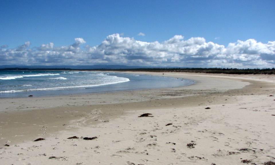 ModerateCave Beach to Bherwerre Beach Fire Trail Loop Walk2.8 km · 1 hr · 3.5 km awayRyans Swamp to Bherwerre Beach, then back by fire trail.
 EasyCave Beach to Bherwerre Beach Walk1.8 km · 45 min · 3.5 km awayA short walk from Cave Beach through Ryans Swamp to Bherwerre Beach.
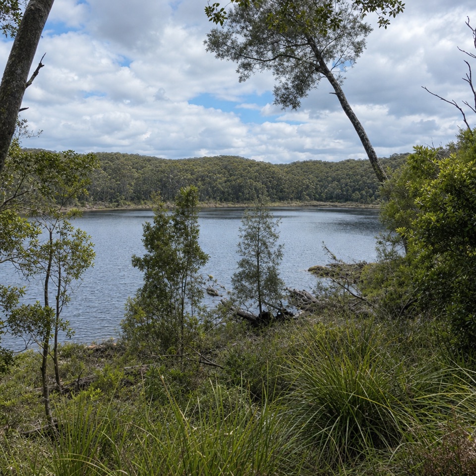 EasyForest Walk1.3 km · 30 min · 3.8 km awayA ferny garden loop with Lake McKenzie views in half an hour.
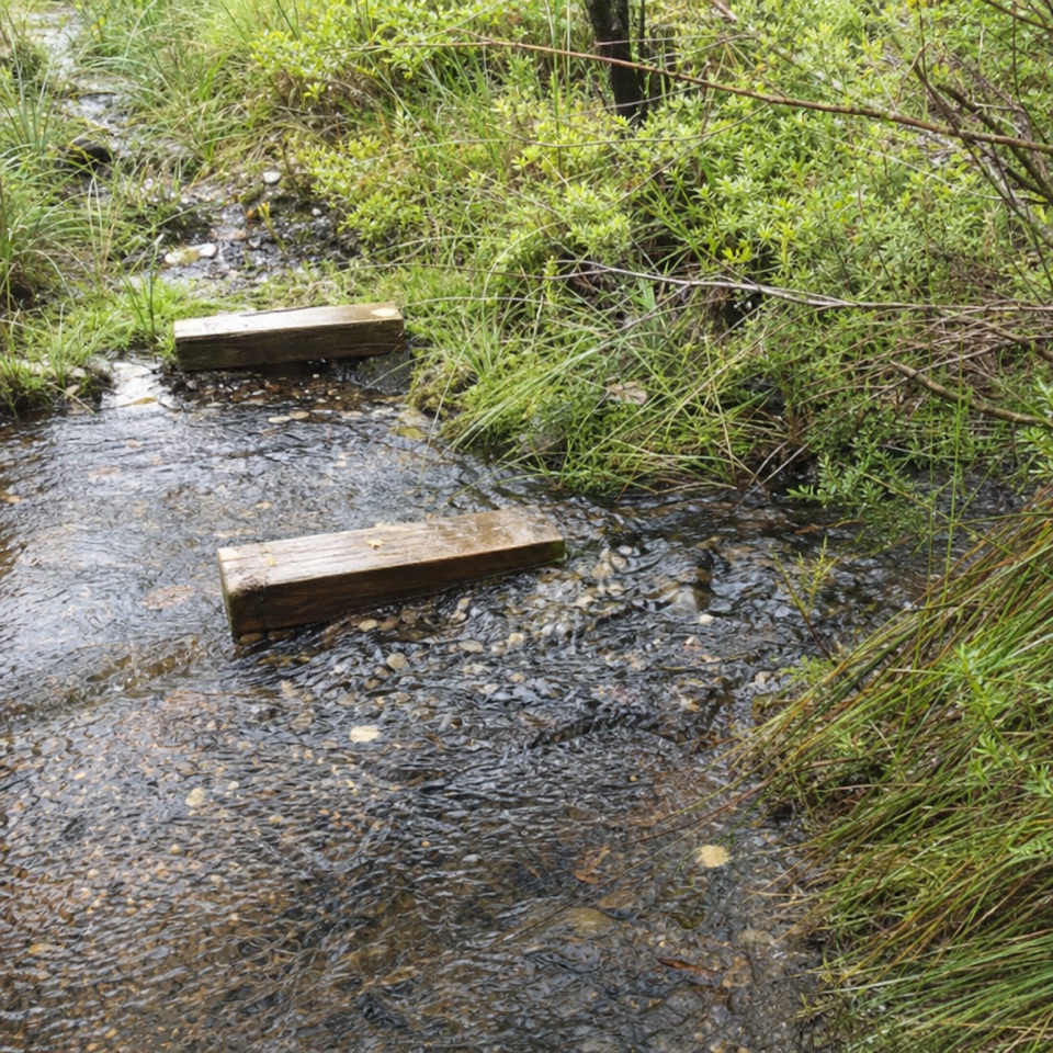 EasyTelegraph Creek Nature Trail2.4 km · 1 hr · 8.2 km awayAn easy loop through creekside forest, swamp and spring heath.
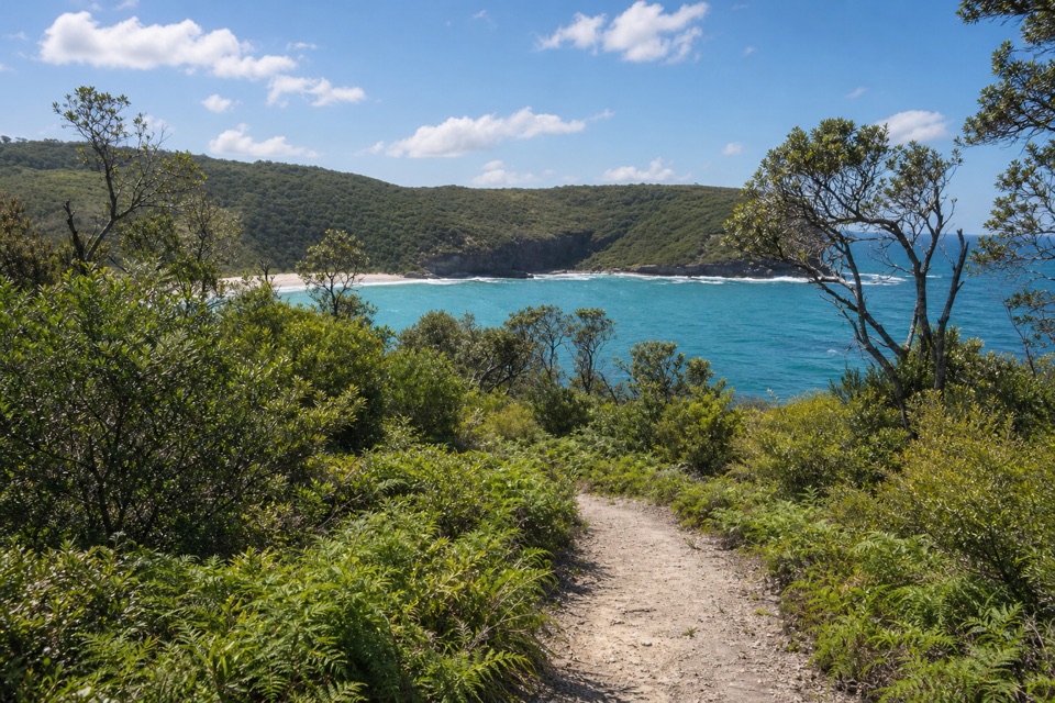 ModerateSteamers Beach Walk4.6 km · 2 hr · 8.3 km awayA shaded bush track ends on an isolated, cliff-backed beach.
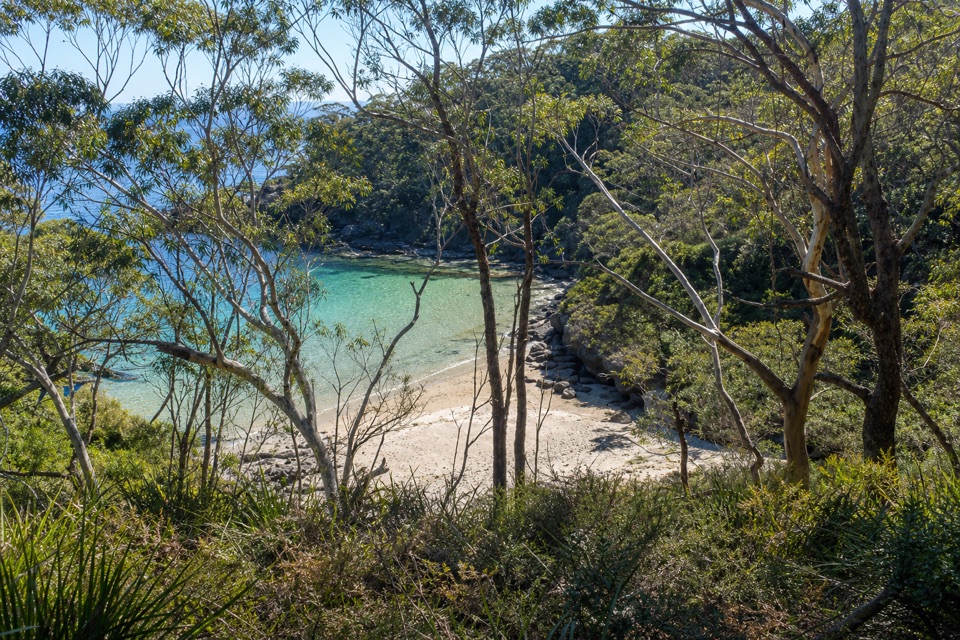 ModerateBooderee Circuit Trail11.4 km · 4 hr · 8.3 km awayFrom eucalypt shade to sea cliffs and Blacks Waterhole.
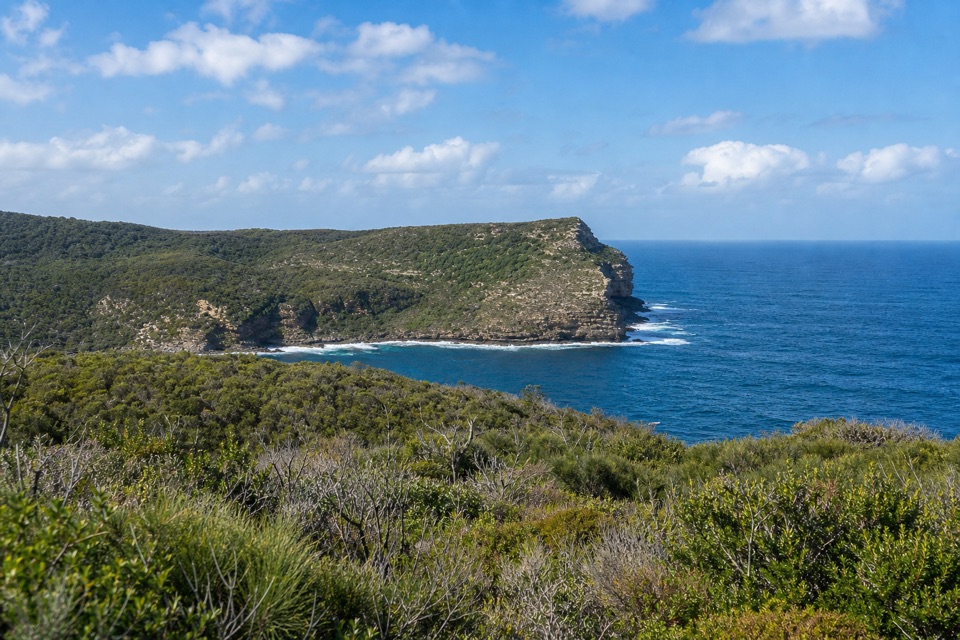 ModerateSt Georges Head Trail13.8 km · 5 hr · 8.3 km awayOcean cliffs after miles of quiet, undulating management track.
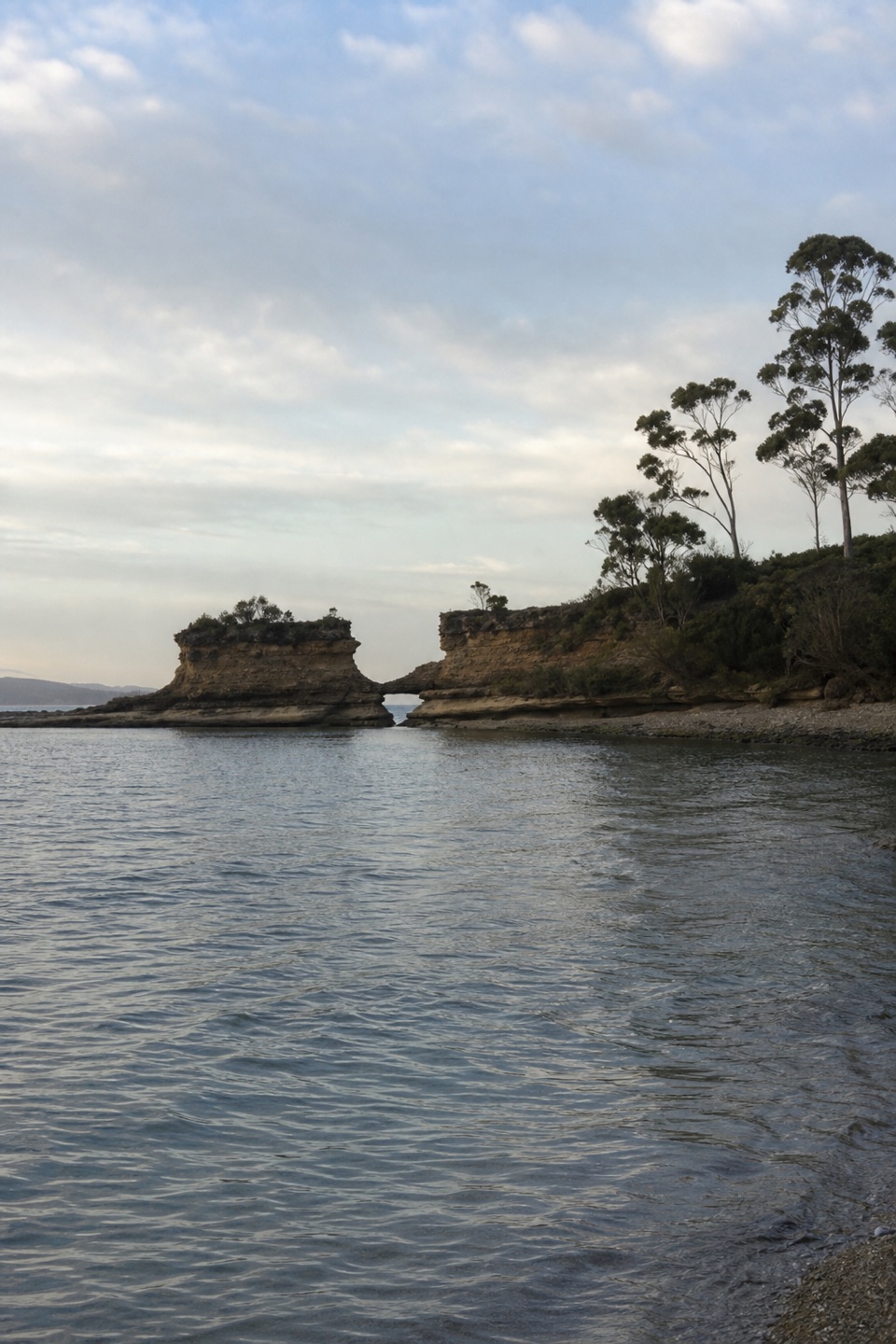 EasyHole in the Wall Track0.9 km · 20 min · 10.6 km awayA short gravel out-and-back to sheltered Hole in the Wall Beach.
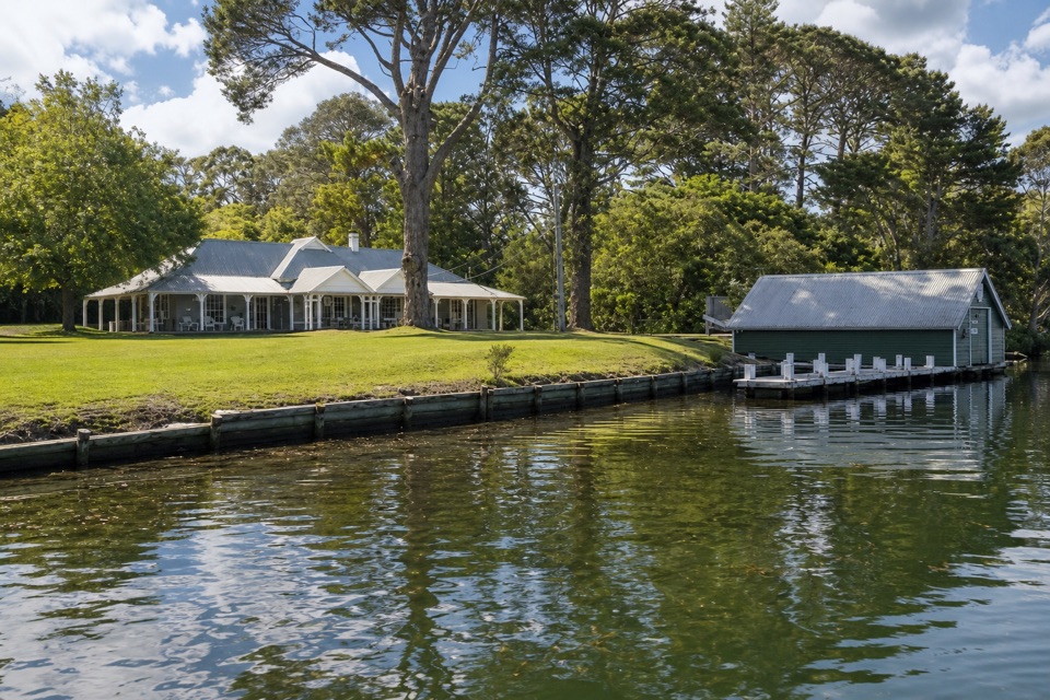 Lodging · 2.4 km awayKullindi HomesteadAn 1880 waterfront homestead for private group stays.
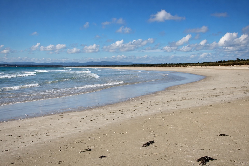 Beach · 3.1 km awayBherwerre BeachA long sandy shore with an 1835 shipwreck beneath it.
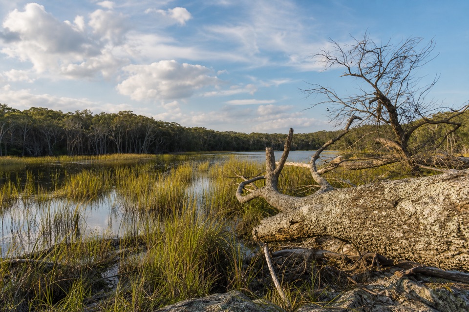 Sight · 3.2 km awayRyans SwampA quick wetland pause on the way from Cave Beach to Bherwerre
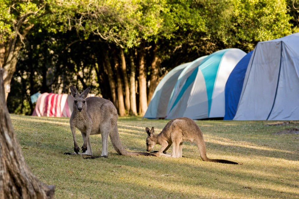 Campground · 3.4 km awayCave Beach CampgroundGrassy camping beneath tea trees, with kangaroos wandering through.
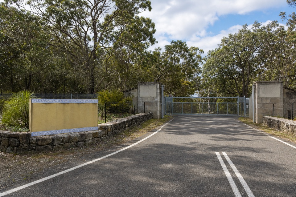 Sight · 3.8 km awayBooderee Botanic GardensA shady walk between coastal plants and Lake McKenzie.
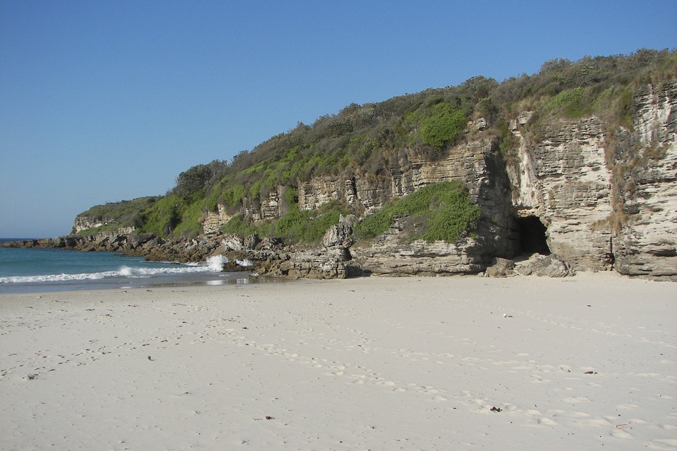 Beach · 3.8 km awayCave BeachSurf, turquoise water and small caves in the shoreline rock.
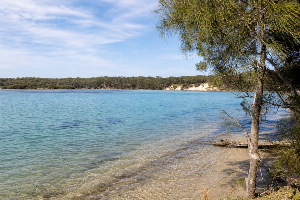 Picnic area · 3.9 km awayLone Pine Picnic AreaA small picnic stop with an open Sussex Inlet view.
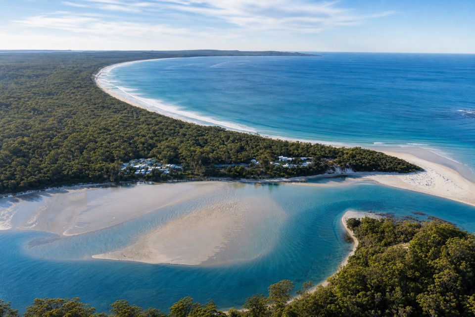 Lodging · 4.9 km awayThe Cove Jervis BayA forest-backed beach stay with guest-use kayaks and paddleboards.
Parkwolf’s Booderee ranking
The audio tour guide for the drive, plus offline maps, trails, and wildlife heatmaps for when the signal drops.