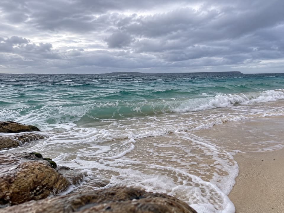
Bherwerre Beach in Booderee National Park

Beach · Booderee National Park

Bherwerre Beach

A long sandy shore with an 1835 shipwreck beneath it.

Type
Beach
Nearest trail
0.8 km
Audio stories
4 nearby
  • Parking
  • Trailhead
  • #11 of 24 sights

Hear the audio tour

Cave Beach: Surf and Shoreline Caves

Overview

About Bherwerre Beach

Why stop

  • A quieter, long shoreline reached by a walk through Ryans Swamp.

Heads up

  • Ocean swimming is unpatrolled.

Map

Where it is

Loading the Booderee map
Full map
BeachBherwerre Beach-35.16340, 150.66213
Keep this map with you offline in the Parkwolf app

Plan your stop

Before you go

3 active Booderee alerts

  • CautionH5 bird flu detected in BoodereeAvoid contact with sick or dead wildlife at Booderee. H5 bird flu was detected in a greater crested tern found in the park; the park remains open.Official details
  • InfoEntry station closed—arrange your pass before arrivalBooderee’s entry station is currently closed; arrange your park pass before entering.Official details

See all 3 alerts
A park ranger sits on a dash-mounted phone, talking, as Parkwolf’s Tour Guide plays “Army Cutworm Moths: A Grizzly Bear Buffet” on Grand Loop Road below Dunraven Pass in Yellowstone
Parkwolf Tour GuideThe highest, rockiest slopes around here are a summer buffet for grizzly bears.

Booderee Tour Guide

Your drive to Bherwerre Beach, narrated.

Parkwolf is a GPS audio tour guide for Booderee National Park. As you drive, it chimes in with what’s ahead: hidden gems, upcoming stops, history, geology, and wildlife, right through your car’s speakers.

Recorded for this place

Cave Beach: Surf and Shoreline Caves
0:00 / 0:32
“You're nearing Cave Beach's car park, with a walk through the day-use area to reach the sand. Come for the open ocean shore and surf; the caves are small, shallow openings in the rocky edge.”

Plays as you drive up to Bherwerre Beach in the Parkwolf Booderee Tour Guide.

More stories near here in the app

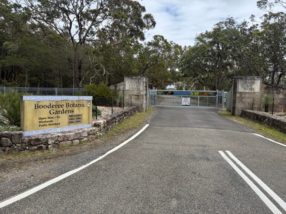
  • Booderee Botanic Gardens
  • Shelter Between the Burned Patches
  • Pimple Track to Bherwerre Beach
  • Who Scribbled on the Gums?
  • 23 audio storiesacross Booderee’s roads, triggered by GPS as you drive
  • Wildlife heatmapsfor Grey Kangaroo, Echidna, Red-necked Wallaby, and 13 more
  • Works offlinemaps, 14 trails, 33 places, and audio download before you lose signal
  • CarPlay readysimple controls built for the drive
★★★★★
“Fantastic app with many points of information… It’s great to just turn on while you’re driving and it gives you an audio tour of the national Park. We love it!!!!”
JMJamesApp Store review
Download Parkwolf on the App StoreGet Parkwolf on Google Play

4.7 from 8,600+ ratings

Guide

More about Bherwerre Beach

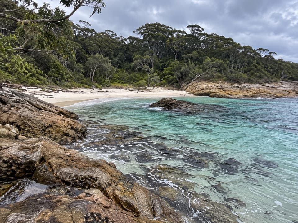
A long, south-facing shoreBherwerre is the long, south-facing ocean beach on Booderee’s southern edge, a broad sweep of…

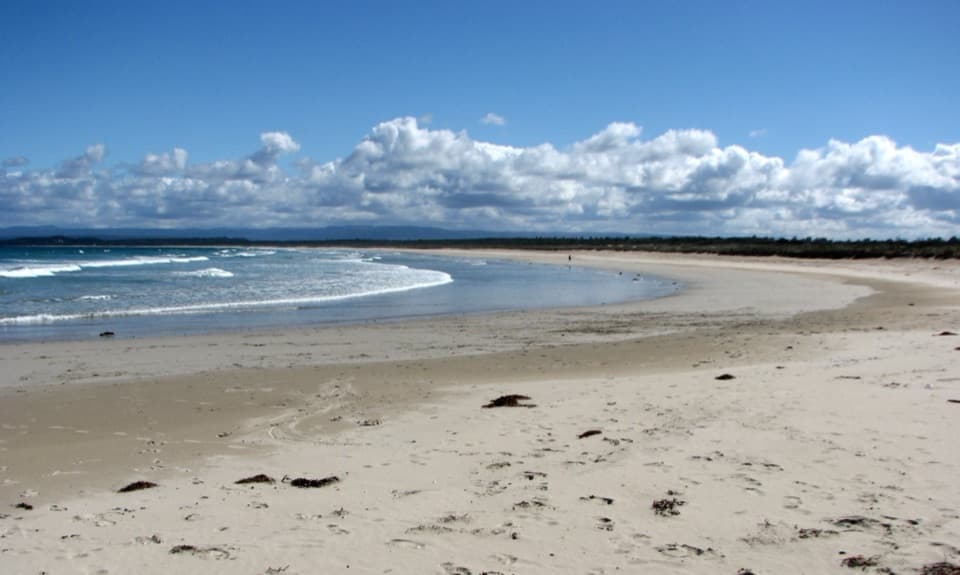
Bherwerre is the long, south-facing ocean beach on Booderee’s southern edge, a broad sweep of sand reached on foot from Cave Beach. It’s a good choice for a long shoreline walk or a surf when conditions suit. It often feels quieter than the better-known beaches around Jervis Bay, though you do have to walk in. For a photo, frame the curving waterline with some sand in the foreground; it gives the shoreline a sense of length. No Booderee beach has a lifeguard patrol, so judge the ocean carefully.

Walk in from Cave BeachFrom Cave Beach car park, follow the main trail to the campground, then take the trail on its…

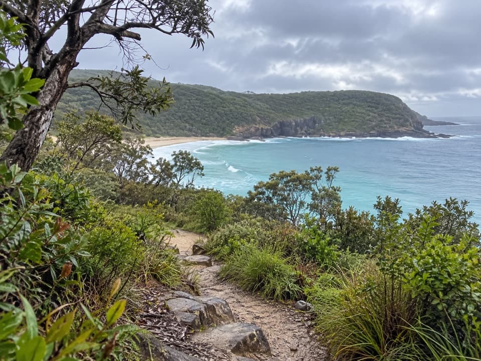
From Cave Beach car park, follow the main trail to the campground, then take the trail on its western side around Ryans Swamp to the beach. It’s 900 m each way, about 15 minutes, Grade 2. To make a circuit, take the fire trail back to Cave Beach Road: 2.8 km and about an hour, Grade 3. Cave Beach camping area has toilets, cold showers, fresh water and wood barbecues 300 m from its car park; those are campground facilities, not services on the beach.

The Hive lies under the sandIn December 1835, the convict ship Hive wrecked here carrying Irish convicts, women and…

In December 1835, the convict ship Hive wrecked here carrying Irish convicts, women and children. Parks Australia’s account says almost 300 people were aboard and only one was lost; Wreck Bay Koori people helped rescue survivors. The ship sent later to recover cargo, the Blackbird, also came to grief on this coast. Sonar surveys have mapped the Hive’s remains, but most are buried under sand, so there’s nothing visible to search for.

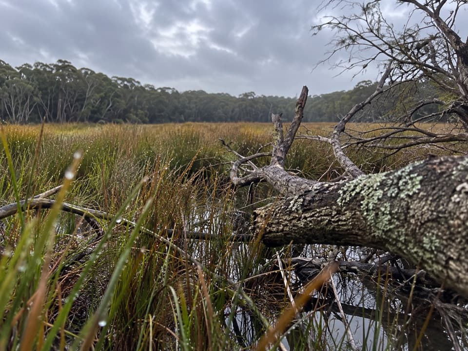
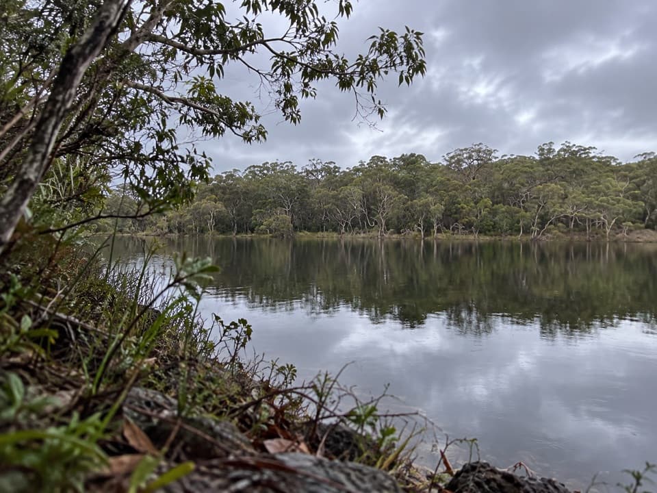
Swamp, dunes and shorebirdsThe walk skirts Ryans Swamp, where swamp hens, egrets and ducks use the wetland; frogs, snakes…

The walk skirts Ryans Swamp, where swamp hens, egrets and ducks use the wetland; frogs, snakes and turtles live there too. On the return loop, the fire trail crosses dunes revegetated with bitou bush in the late 1960s, now a major coastal weed. In deeper soils, tall blackbutt forest replaces the dune plants. Hooded plovers nest near the Sussex Inlet end of the beach; keep well back from nesting birds during breeding season.

Wildlife

Wildlife in Booderee

All Booderee wildlife maps

Sighting maps show where each species has been reported across Booderee. Wildlife moves, so no sighting is guaranteed.

Keep exploring

Near Bherwerre Beach

See it all on the map

Trails nearby

More stops nearby

Parkwolf’s Booderee ranking

Top sights in Booderee

All 33 places
  1. 1Murrays BeachBeach
  2. 2Green Patch BeachBeach
  3. 3Cape St George LighthouseSight
  4. 4Booderee Botanic GardensSight
  5. 5Cave BeachBeach
  6. 6Governors Head LookoutSight

Take Parkwolf to Booderee.

The audio tour guide for the drive, plus offline maps, trails, and wildlife heatmaps for when the signal drops.

4.7 from 8,600+ ratings

Download Parkwolf on the App StoreGet Parkwolf on Google Play