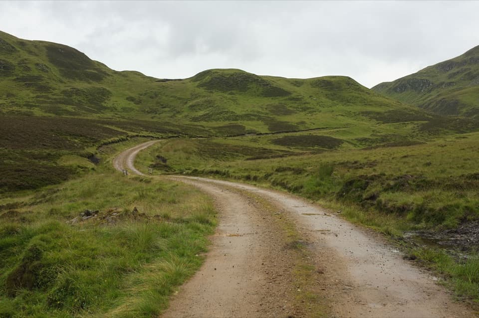
Parking
Start at Riverside Park car park (Sir William MacPherson Park) in Blairgowrie, beside the River Ericht. Check long-stay parking arrangements before leaving a vehicle for several days.
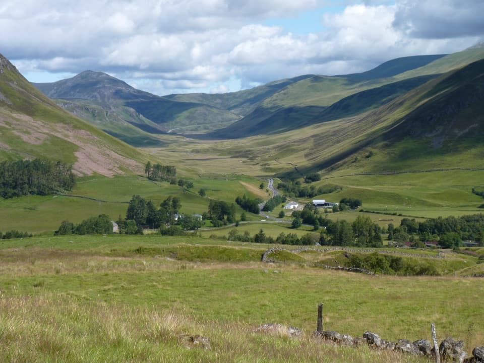
Cairngorms National Park, SC
Old drove roads, glen paths and one high pass over five days.
Overview
Map & elevation
Plan your hike

The highest, rockiest slopes around here are a summer buffet for grizzly bears.
Cairngorms Tour Guide
Parkwolf is a GPS audio tour guide for Cairngorms National Park. As you drive, it chimes in with what’s ahead: hidden gems, upcoming stops, history, geology, and wildlife, right through your car’s speakers.
See the Cairngorms audio tour“Fantastic app with many points of information… It’s great to just turn on while you’re driving and it gives you an audio tour of the national Park. We love it!!!!”


Trail guide
The Cateran Trail is a 64-mile (103 km) waymarked loop from Blairgowrie, crossing Strathardle, Glenshee and Glen Isla before turning back through Alyth. It follows farmland, forest tracks and old drove roads as well as open, sometimes rough moorland. The full route takes four to five days and climbs about 2,470 m in total; it is a multi-day walk, not a long day hike. The 20-mile Cateran Minitrail is a separate northern circuit from Kirkmichael, not a shortened version of this whole loop.
The five-stage itinerary covers about 13.7 to 24.9 km (8.5 to 15.5 miles) a day. The first, third and fifth days can take eight to ten hours, and even the shorter second stage includes the climb to the high pass. A five-day plan gives the longest stretches their own day. The route has no single official start, but this record follows the stages from Blairgowrie. The path between Blairgowrie and Bridge of Cally is walked at both ends, and the stated total counts both legs. Follow the waymarks, but carry a detailed map: the route leaflet says its map is illustrative, and some grassy paths are faint on the ground.
Starting by the River Ericht at Riverside Park, the route reaches Cargill’s Leap, where viewing platforms look into a narrow gorge and down to the cataracts. Local story says the Covenanter minister Donald Cargill escaped pursuing troops by leaping the river here. The path then climbs through Blackcraig’s forest and farmland, with views toward Mount Blair, before a rougher moorland crossing into Strathardle and Kirkmichael. The Cateran name recalls cattle-raiding bands active in these glens from the Middle Ages into the 1600s.
From Kirkmichael, tracks pass Enochdhu and climb through fields and woodland; carved trail-marker posts lead onto open, exposed moor. Expect small burns, boggy patches and stiles. A simple shelter called the Lunch Hut sits beside the route; Queen Victoria and John Brown stopped here on 13 October 1863 during a pony ride from Balmoral. The trail then reaches An Lairig, its high point at 648 m, before descending toward Spittal of Glenshee and views over the surrounding hills.
The route leaves Spittal across open farmland and rougher moorland toward Glen Isla, crossing burns and a short stretch of road. A short diversion reaches the banks of Auchintaple Loch. From Kirkton of Glenisla the next stage climbs onto open ground for wide views, then descends on grassy tracks, farm roads and paths toward Alyth. Gates, stiles and muddy or indistinct sections make the waymarks useful here; this is walking country rather than a continuously surfaced path.
The last stage climbs out of Alyth past Hill of Alyth and crosses moorland into Bamff. Along the water there are signs of beaver dam-building and felled trees, though spotting a beaver is never assured. Bamff House has an honesty kitchen that usually offers snacks, but check before relying on it. Beyond Bamff, the route follows long field-edge paths back to Bridge of Cally and retraces the Blairgowrie approach. Blairgowrie and Alyth have shops and places to eat, with accommodation in Kirkmichael; services are spread between villages rather than along the remote moorland stretches.
Use Riverside Park car park (Sir William MacPherson Park) in Blairgowrie for this mapped start; check long-stay parking arrangements before leaving a car for several days. Dogs are allowed under Scotland’s access rules when kept under proper control, especially near livestock and wildlife. If the full circuit is too much, the separate Cateran Minitrail is a 20-mile (32 km) northern loop from Kirkmichael, still a substantial two-day walk.
Wildlife
 159 sightingsRed DeerMost seen around 7 AMSighting map
 63 sightingsReindeerMost seen around 6 PMSighting map
 102 sightingsOspreyMost seen around 5 PMSighting map
 37 sightingsBlack GrouseMost seen around 4 AMSighting map
 72 sightingsRed GrouseMost seen around 6 PMSighting map
 82 sightingsPine MartenMost seen around 9 PMSighting map
Sighting maps show where each species has been reported across Cairngorms. Wildlife moves, so no sighting is guaranteed.
Keep exploring
Parkwolf’s Cairngorms ranking

The audio tour guide for the drive, plus offline maps, trails, and wildlife heatmaps for when the signal drops.