Parking
The village car park near Blair Atholl Visitor Information Centre gives access at the south end; Glen Tilt Car Park also joins the circuit farther north. Charges and lot capacity were not established.
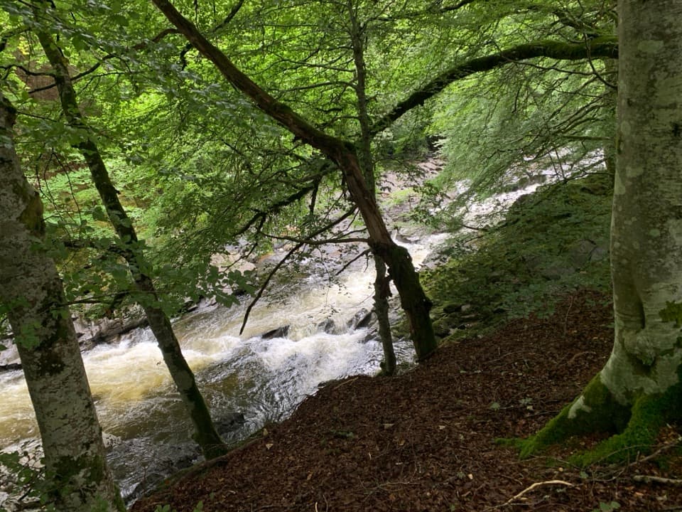
Cairngorms National Park, SC
A 2.5 km woodland loop beside the rushing River Tilt.
Overview
Map & elevation
Plan your hike

The highest, rockiest slopes around here are a summer buffet for grizzly bears.
Cairngorms Tour Guide
Parkwolf is a GPS audio tour guide for Cairngorms National Park. As you drive, it chimes in with what’s ahead: hidden gems, upcoming stops, history, geology, and wildlife, right through your car’s speakers.
See the Cairngorms audio tourRecorded for this trailhead
Atholl Country Life Museum and a Village Meal“You're nearing Atholl Country Life Museum in Blair Atholl's old village school. Give it about an hour if you'd like to explore everyday life in the district.”
Plays as you drive up to this trailhead in the Parkwolf Cairngorms Tour Guide.
More stories near here in the app
“Fantastic app with many points of information… It’s great to just turn on while you’re driving and it gives you an audio tour of the national Park. We love it!!!!”


Trail guide
River Tilt Circuit is a moderate, roughly 2.5 km woodland loop beside the rushing River Tilt at Blair Atholl. Allow about an hour. The route follows the river between the village and Glen Tilt, with a short quiet-road section; it is a fuller riverside circuit than the separate, shorter Red Squirrel Walk from Glen Tilt Car Park.
Expect uneven earthy and gravel paths, gentle stretches with a few short steeper pitches, one medium flight of steps and two bridges. One bridge has steps at both ends. The banks drop steeply toward the water, so slow down where the path runs close to the river and take extra care on the crossings.
Dippers and red squirrels are possible along the wooded river corridor. Keep dogs under control around wildlife and other visitors; the route is permitted for ordinary dog walking under Scotland’s responsible access rules.
The village car park by Blair Atholl Visitor Information Centre is the south access, and Glen Tilt Car Park is another mapped way into the circuit. Carry the route map so you can follow the riverside loop between the two access points.
Wildlife
 159 sightingsRed DeerMost seen around 7 AMSighting map
 63 sightingsReindeerMost seen around 6 PMSighting map
 102 sightingsOspreyMost seen around 5 PMSighting map
 37 sightingsBlack GrouseMost seen around 4 AMSighting map
 72 sightingsRed GrouseMost seen around 6 PMSighting map
 82 sightingsPine MartenMost seen around 9 PMSighting map
Sighting maps show where each species has been reported across Cairngorms. Wildlife moves, so no sighting is guaranteed.
Keep exploring
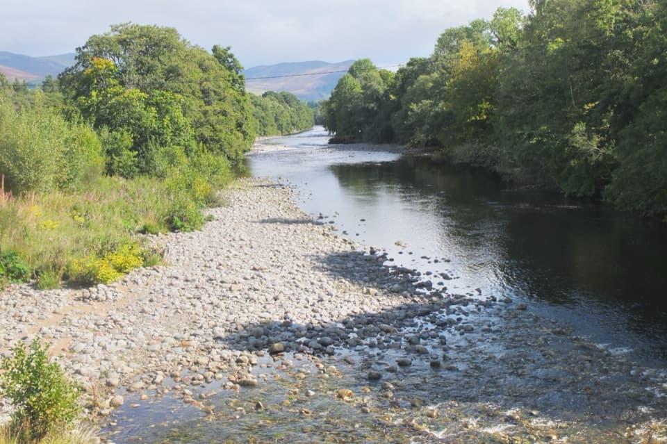 ModerateSalmon Trail, Blair Atholl6.4 km · 2 hr · At the trailheadFour miles round trip beside the River Garry from Blair Atholl.
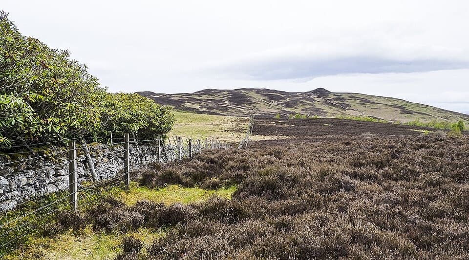 ChallengingTulach Viewpoint Walk4.8 km · 2 hr · 0.2 km awayA steep climb from birch woods to a Blair Atholl viewpoint.
 ChallengingScottish National Trail: Blair Atholl to Kingussie71.2 km · 19.5 hr · 0.4 km awayThree remote days link river fords, a bothy, and the Insh Marshes.
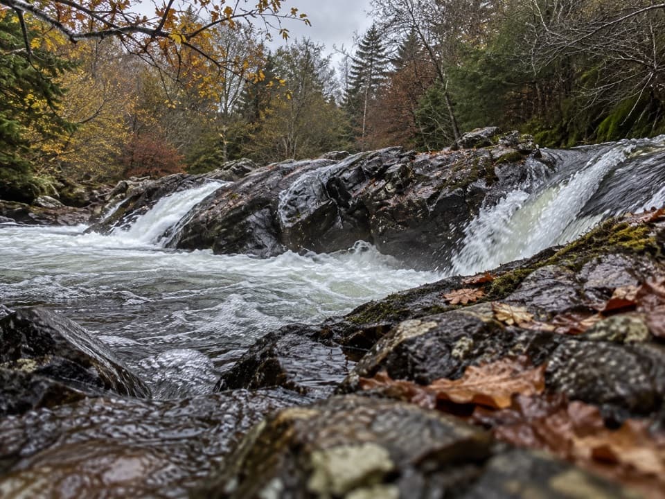 ModerateGlen Tilt Circuit16.1 km · 4.5 hr · 0.8 km awayA river-gorge circuit with old settlements and a six-mile shortcut.
 ModerateFarm and Forest Walk6.4 km · 2.3 hr · 0.8 km awayGreen arrows lead to a high view up Glen Tilt
 ModerateGlen Banvie and Bruar Circuit16.1 km · 4.5 hr · 0.8 km awayMoorland, pine woods and a waterfall detour reward a long day out.
 EasyBanvie Burn Walk6.1 km · 2.5 hr · 0.8 km awayA gorge-side loop to bridges, rhododendrons and a three-arched folly.
 ModerateCraig Urrad Trail12.2 km · 4.5 hr · 0.8 km awayA rough hill circuit to old stone beacons and wide glen views.
 Visitor center · At the trailheadBlair Atholl Information CentreA quick orientation stop, with local history and family activities.
 Sight · At the trailheadAtholl Country Life MuseumSee the moved post office and a doctor’s winter-call sleigh.
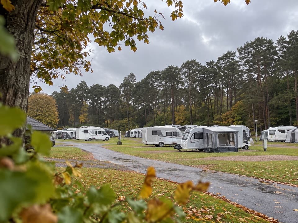 Campground · 0.2 km awayBlair Castle Caravan ParkA practical base for castle gardens and woodland walks
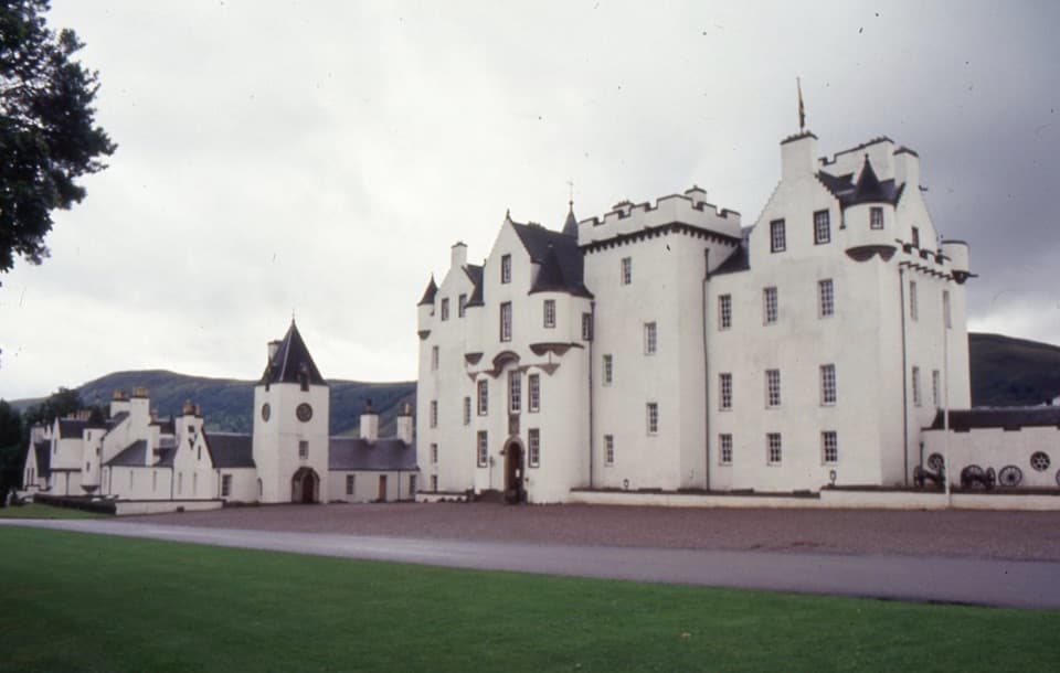 Sight · 1.2 km awayBlair Castle & GardensFurnished rooms, formal gardens and 750 years of castle history
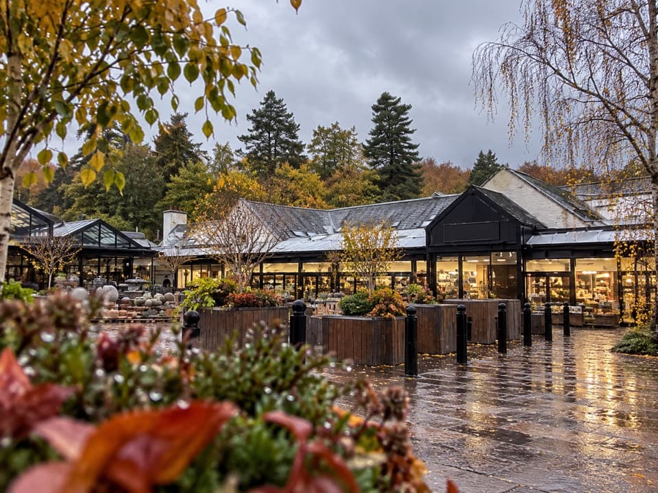 Store · 5.4 km awayHouse of BruarA country-store and food stop beside the Falls of Bruar.
 Sight · 5.7 km awayFalls of BruarA wooded gorge walk with cascades, old bridges and a rock arch
Parkwolf’s Cairngorms ranking

The audio tour guide for the drive, plus offline maps, trails, and wildlife heatmaps for when the signal drops.





