Overview
About Falls of Bruar
Why stop
- A natural rock arch and old stone bridges make the gorge walk distinctive.
Heads up
- The full circuit is steep and rougher beyond the lower falls.
Map
Where it is
Loading the Cairngorms map
Full mapPlan your stop
Before you go
3 active Cairngorms alerts
- CautionStorm Boelo high windsStorm Boelo will bring extremely windy weather to the Cairngorms; take extra care and limit time outdoors. - The Park Authority expects the very windy weather to last until Monday 26 October.Official details
- ClosureGlenmore wildfire closures and dangerous treesWildfire damage has closed Allt Mor car park and the path to Sugarbowl/Utsi’s Bridge; keep out of the closed area.Official details

The highest, rockiest slopes around here are a summer buffet for grizzly bears.
Cairngorms Tour Guide
Your drive to Falls of Bruar, narrated.
Parkwolf is a GPS audio tour guide for Cairngorms National Park. As you drive, it chimes in with what’s ahead: hidden gems, upcoming stops, history, geology, and wildlife, right through your car’s speakers.
See the Cairngorms audio tourRecorded for this place
Falls of Bruar and House of Bruar0:00 / 0:35
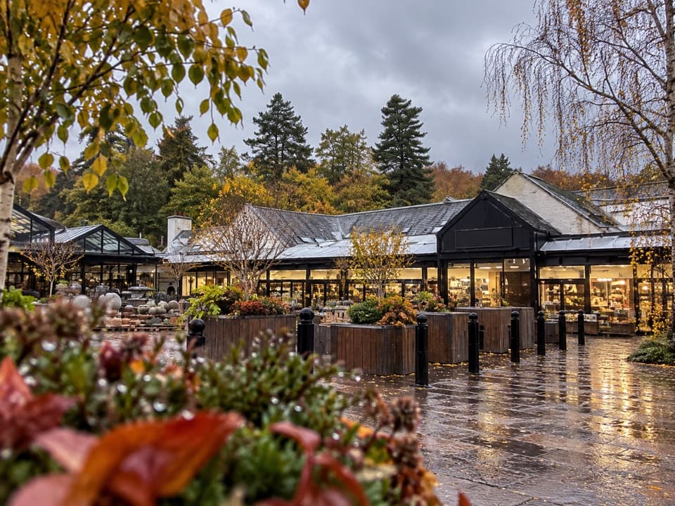
“You're coming up on House of Bruar, the starting point for the Falls of Bruar walk. Give the full gorge circuit an hour to ninety minutes for cascades, a natural rock arch and stone bridges.”
Plays as you drive up to Falls of Bruar in the Parkwolf Cairngorms Tour Guide.
More stories near here in the app
- Struan Kirk and the Garry Gorge
- The Heart Inside a Stone Wall
- The Sandpiper’s White Wing Stripe
- The Nursery Beneath the Dung
- 298 audio storiesacross Cairngorms’s roads, triggered by GPS as you drive
- Wildlife heatmapsfor Red Deer, Reindeer, Osprey, and 13 more
- Works offlinemaps, 260 trails, 90 places, and audio download before you lose signal
- CarPlay readysimple controls built for the drive
“Fantastic app with many points of information… It’s great to just turn on while you’re driving and it gives you an audio tour of the national Park. We love it!!!!”


Guide
More about Falls of Bruar
A waterfall walk with two optionsFalls of Bruar is a series of cascades in a wooded gorge on Bruar Water, reached by a signed…
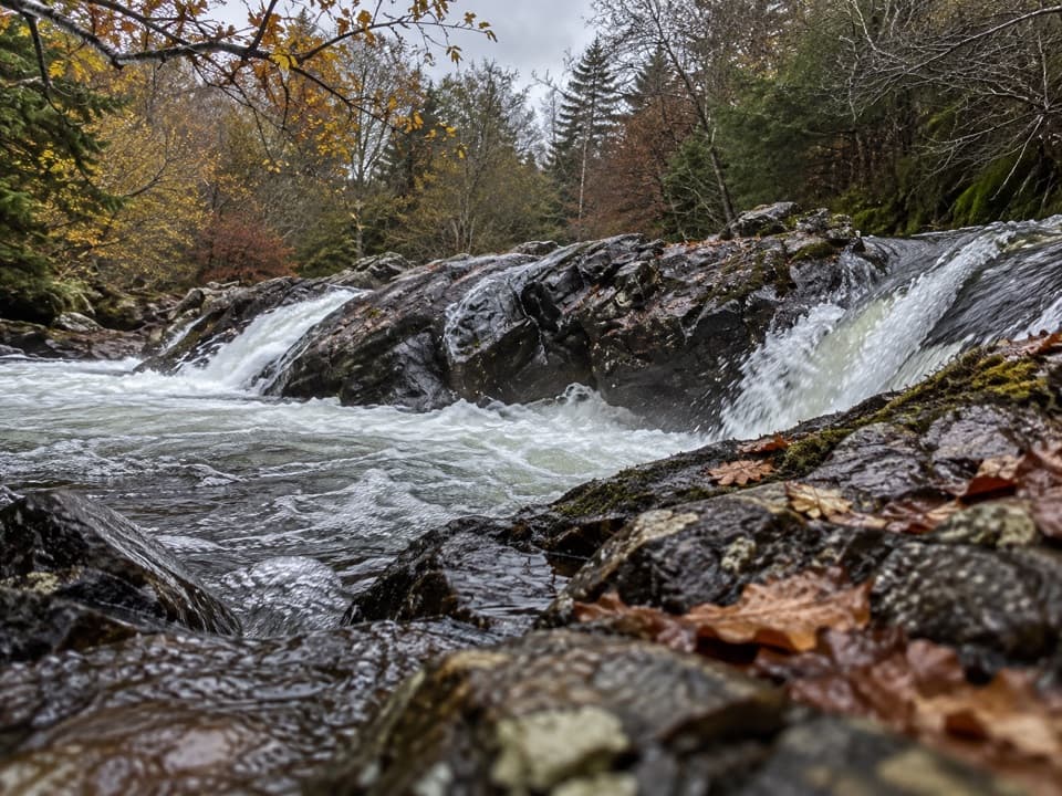
Falls of Bruar is a series of cascades in a wooded gorge on Bruar Water, reached by a signed walk from the House of Bruar. The 2.5 km circuit takes about an hour. The approach to the lower falls follows smoother gravel with moderate gradients; continue around the loop only if you’re comfortable with steeper ground, rougher path and steps. You can visit the lower falls and turn back without doing the full circuit.
Follow the gorgeStart at the House of Bruar car park and follow the signed route under the railway.
Start at the House of Bruar car park and follow the signed route under the railway. The path tracks upstream through pine and broadleaf woodland to a lower viewing platform, then climbs to stone bridges before returning on the other side of the gorge. The rougher, stepped section makes more sense uphill; save the easier path for the return. Keep children close near the steep gorge edges.
At the lower platform, look for the low rock arch over the river. Frame the arch with the first cascade from the platform, or use a bridge to look down the gorge. The falls are fuller after rain, though wet ground makes careful footing more important. A picnic seating area beyond the upper bridge looks over Bruar Water.
Burns’s petitionRobert Burns visited in 1787 and wrote a poem asking the 4th Duke of Atholl to plant trees…
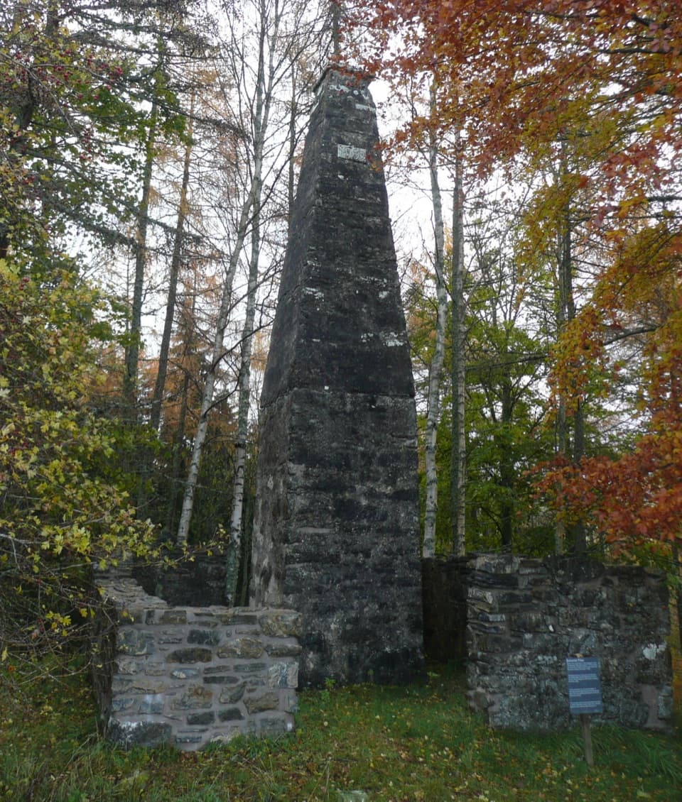
Robert Burns visited in 1787 and wrote a poem asking the 4th Duke of Atholl to plant trees around the then-bare gorge. The Duke went on to plant the woodland and build the path, viewing bridges and stone shelters. The walk’s wooded setting is part of a landscape deliberately shaped after Burns’s visit.
What the water has changedThe falls combine two larger drops with smaller cascades, descending about 60 metres through…
The falls combine two larger drops with smaller cascades, descending about 60 metres through the gorge. After glacial ice retreated, Bruar Water cut through layers of softer rock, leaving deep pools, outcrops and the natural arch. A hydroelectric scheme built upstream in the late 1940s reduced the water reaching the falls, so their flow varies; they are most impressive after heavy rain. Look into the pools and across the layered rock from the bridges, but stay back from the edges.
Wildlife
Wildlife in Cairngorms
 159 sightingsRed DeerMost seen around 7 AMSighting map
 63 sightingsReindeerMost seen around 6 PMSighting map
 102 sightingsOspreyMost seen around 5 PMSighting map
 37 sightingsBlack GrouseMost seen around 4 AMSighting map
 72 sightingsRed GrouseMost seen around 6 PMSighting map
 82 sightingsPine MartenMost seen around 9 PMSighting map
Sighting maps show where each species has been reported across Cairngorms. Wildlife moves, so no sighting is guaranteed.