
Place · 0.8 mi away
Challenging
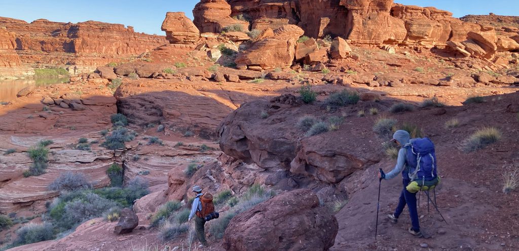
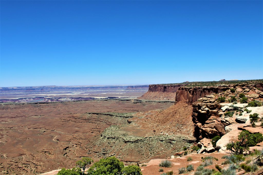
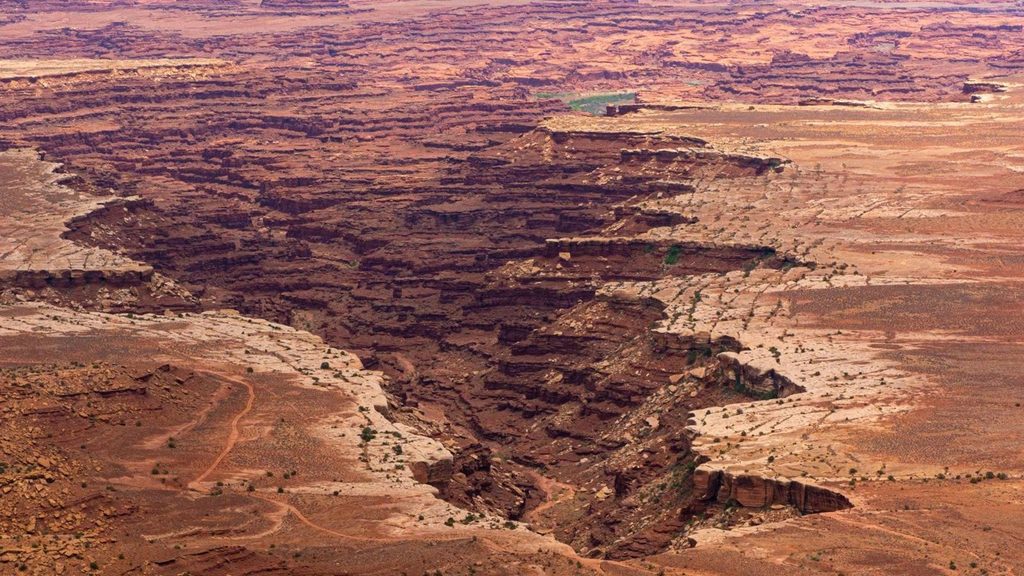
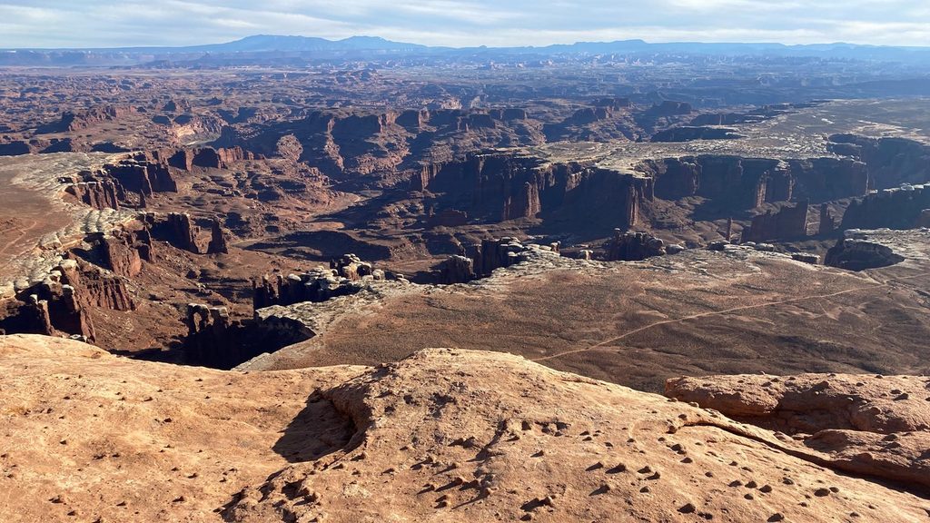
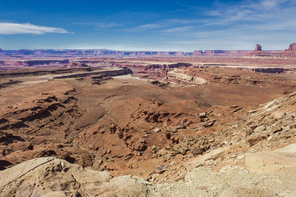
This is the steepest maintained descent in Canyonlands’ Island in the Sky. The Gooseberry Trail drops off the mesa toward the White Rim, serving up enormous views into Gooseberry Canyon and Monument Basin with a fraction of the crowds. It’s short on miles but big on effort: expect roughly 5.4 miles total, out and back, with about 1,400–1,600 feet of elevation change. If you’re fit and love dramatic terrain, this is one of the most rewarding below‑the‑rim hikes in the district.
Start from the shared parking by the White Rim Overlook picnic area off Grand View Point Road. After a brief, easy warm‑up, the trail plunges down the cliff via tight, rocky switchbacks and slickrock steps—over 1,000 feet in a little more than a mile. The tread is rocky and uneven, marked by cairns; watch your footing and take your time. The grade eases as you reach a sandy, rocky wash, which leads to the White Rim Road at the brink of Gooseberry Canyon. You’ll feel tiny in this landscape, with buttes and spires fanning out toward Monument Basin and the La Sal Mountains on the horizon. Many hikers turn around here. Strong navigators sometimes continue another mile‑plus, mostly off established tread, to the rim of Monument Basin for classic views—only if conditions and your skills allow.
The mileage is modest, but the climb back up is a grind—very steep and sustained, with stone steps and rubble underfoot. Plan 2–5 hours depending on fitness, heat, and breaks. If exposure and heights make you uneasy, parts of the descent can feel vertigo‑inducing.
Spring and fall are prime for cooler temperatures and steadier footing. In summer, start at dawn or late day to avoid dangerous heat; some afternoon shade reaches sections of the route, but it’s still hot. Winter is possible but watch for snow or ice on the steep slickrock—traction can be necessary. For photography, late‑day light often paints Monument Basin and the La Sals beautifully.
Park at the White Rim Overlook picnic area lot off Grand View Point Road; spaces are limited, so arrive early.
Extremely steep first mile with loose rubble and stone steps; exposure can feel vertigo‑inducing. Summer heat is severe with little water or shade; carry ample water. In winter, icy slickrock may require traction. Follow cairns carefully on slickrock and watch for vehicles on the White Rim Road.
Place · 0.8 mi away
Place · 0.8 mi away
Place · 1.7 mi away
Place · 1.7 mi away
Easy · 0.1 mi away
Easy · 0.1 mi away
Easy · 1 mi away
Challenging · 2.4 mi away

Parkwolf Tour Guide
