
Place · 2.5 mi away
Challenging
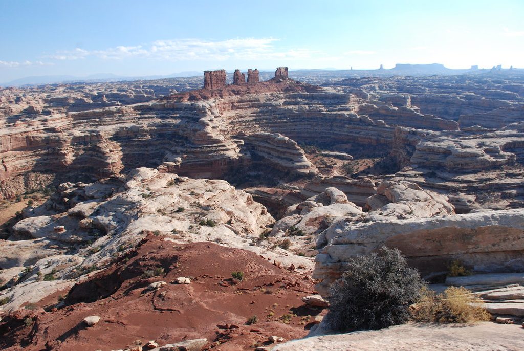
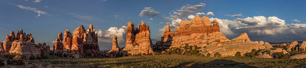
Horse Canyon is a long, remote canyon hike through classic Canyonlands sandstone—towering walls, colorful layers, and big, echoing spaces. Expect solitude in spades and a true backcountry feel. The full push to the marquee features is about 26.25 miles total (out-and-back), and most parties plan 2–3 days to take it all in.
This route strings together a greatest-hits reel of desert oddities and arches. Early on, you’ll pass the whimsical pothole openings of Paul Bunyan’s Potty. Farther up-canyon, Fortress Arch commands attention, especially in the first light of day. The crown jewel is Castle Arch, perched high above the canyon—reaching it involves a side canyon climb and a fixed ladder.
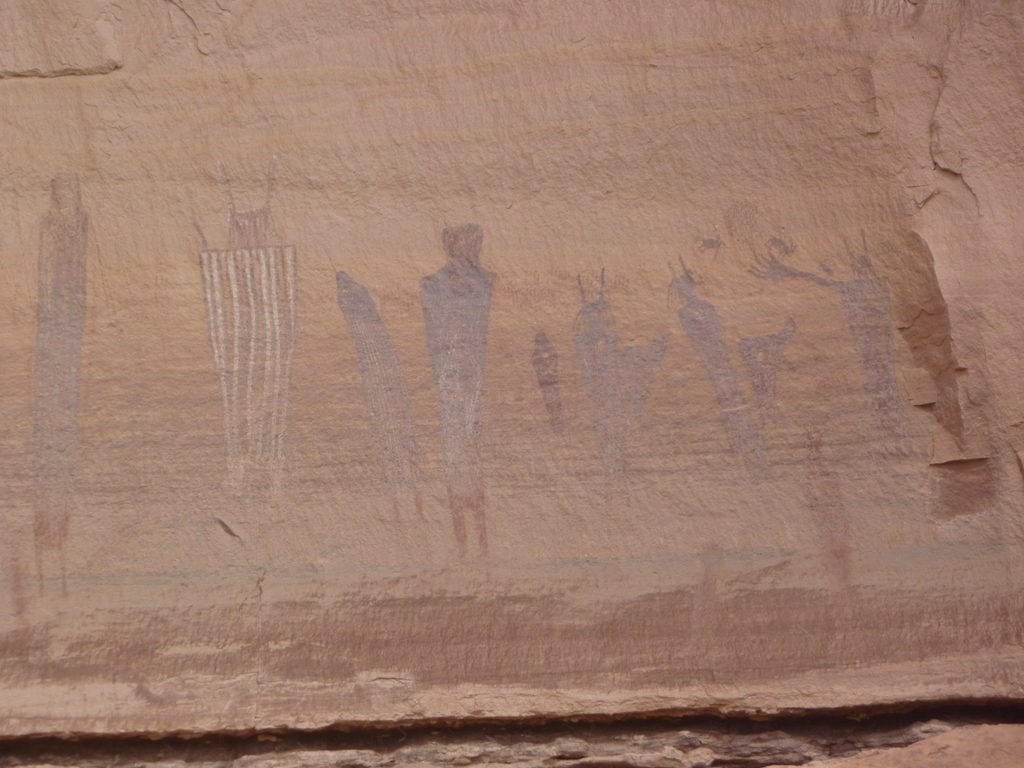
The challenge here isn’t big elevation—it’s the terrain and the navigation. Travel is mostly in sandy wash with occasional rocky sections and faint, braided paths; route-finding matters, and side spurs to features can be subtle. Water is typically absent; you need to carry everything you’ll drink and cook with. Archaeological sites—ruins and rock art panels—appear along the way; admire from a distance and leave them undisturbed.
Length and commitment are real. While strong hikers might day-trip parts of the canyon, the complete out-and-back to Castle Arch is better as an overnight with a backcountry permit.
Spring and fall offer the best combination of temperature and photography light (mornings are magic on Fortress Arch). Summer brings extreme heat and relentless sun exposure—only attempt if you’re highly experienced and fully prepared. Winter can be very cold, with possible ice in shaded spots.
If you’re after solitude, standout arches, and a serious desert adventure, this is one of the park’s most rewarding remote hikes. If you prefer well-marked, shorter strolls, pick something tamer—this one is all-in on sand, time, and navigation.
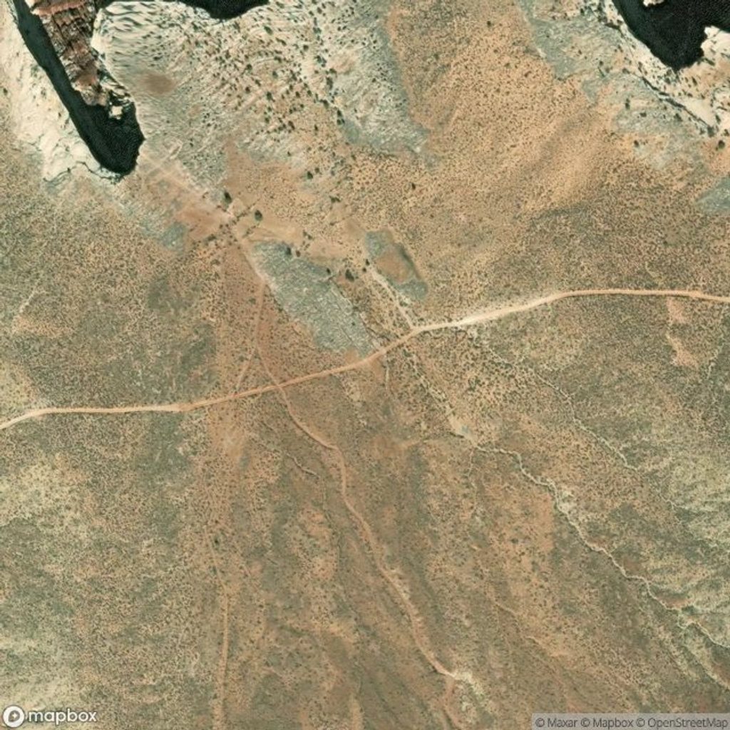
Park at the North Fork Horse Canyon Trailhead.
Carry all water; deep sand, faint routes, and sun exposure make this strenuous. Side trips involve scrambling and a ladder near Castle Arch. Treat archaeological sites with care and do not touch rock art.
Place · 2.5 mi away
Place · 2.9 mi away
Place · 3.6 mi away
Place · 7.3 mi away
Challenging · 2.5 mi away
Challenging · 5.2 mi away
Challenging · 7.7 mi away
Challenging · 7.7 mi away

Parkwolf Tour Guide
