Challenging

Maze Overlook Trail

Remote slickrock descent to jaw-dropping Maze panoramas
Maze Overlook Trail, Canyonlands National Park
Distance8 mi
Typical time3.5 hr
DifficultyChallenging
PetsNot allowed

Overview

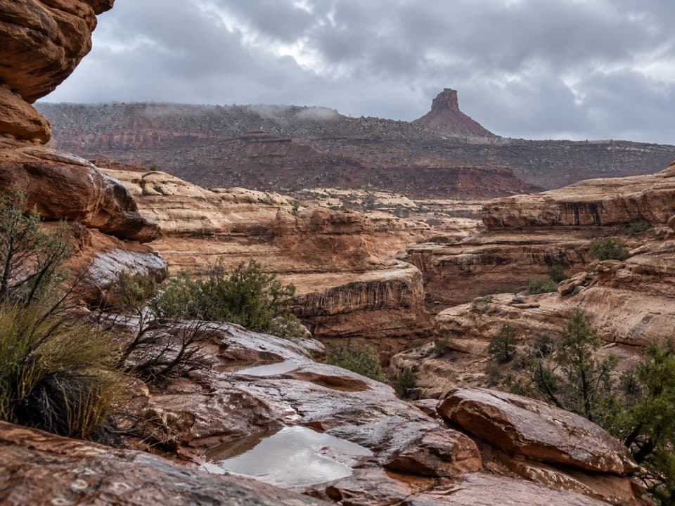
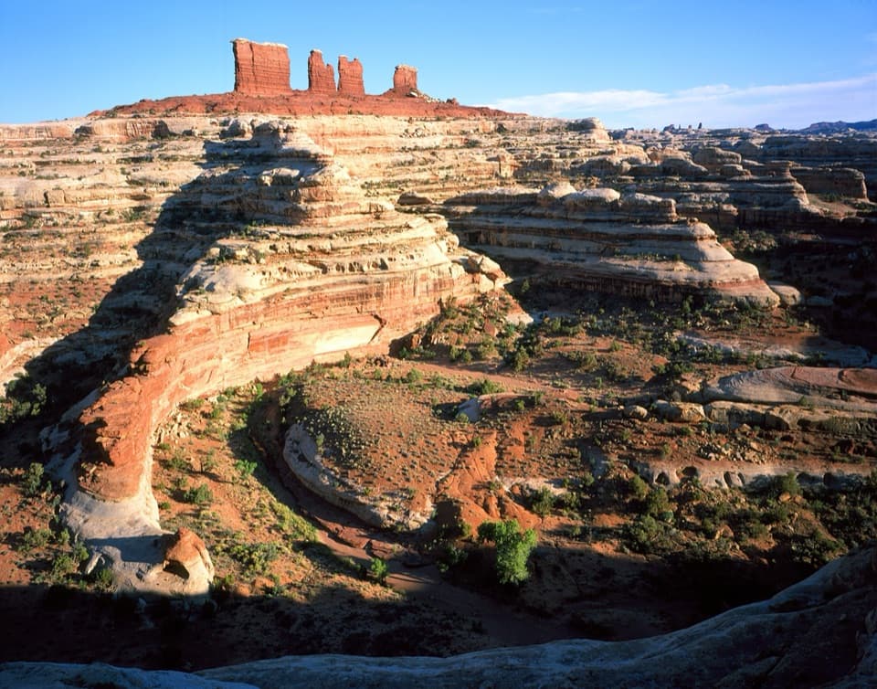
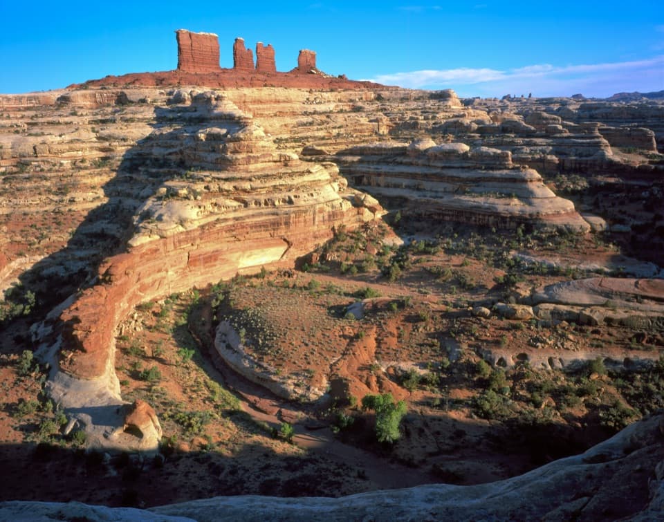
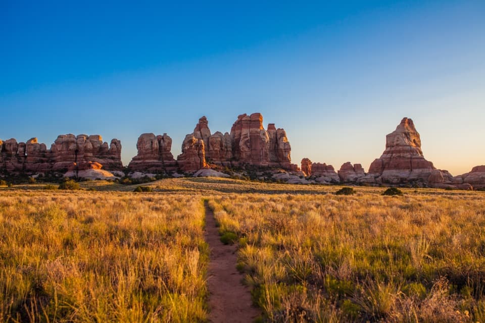
This is the Maze District distilled: remote, rugged, and wildly scenic. The Maze Overlook Trail drops from the rim near Brimhall Point into a labyrinth of fins and canyons, with the overlook serving up sweeping views of the famous Chocolate Drops and distant Standing Rocks. The standard route is about 8 miles total (out-and-back), with optional loop variants extending to 12+ miles. Expect a committing experience—steep slickrock, exposed ledges, and stretches of hands-on movement.

What the hike is like

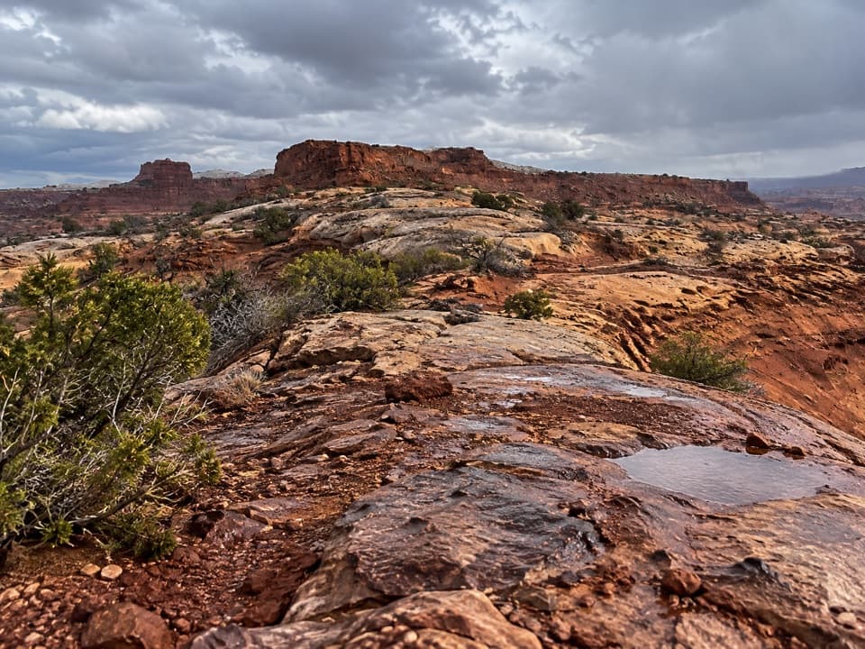
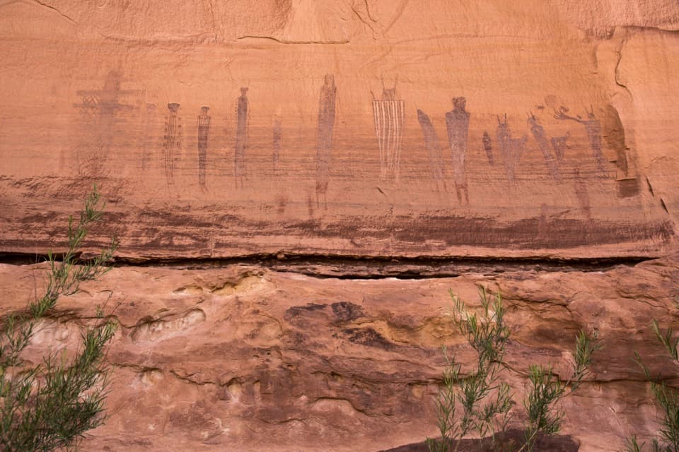
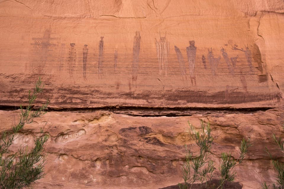
Call it a route more than a trail. You’ll follow cairns across slickrock on the rim before a very steep 500–750 ft descent over roughly the first mile. The cruxes involve exposed ledges and Class 4 scrambling where both hands and feet are in play. Some parties haul or lower packs on the steepest pitches. Footing changes constantly—from slickrock to sandy shelves and dry washes—and it’s easy to drift off-route if you’re not vigilant with cairns and terrain reading. Historic Moki steps carved into the rock appear in places, adding both utility and cultural interest. Shade is scarce; water sources are unreliable.

Scenery and sense of place

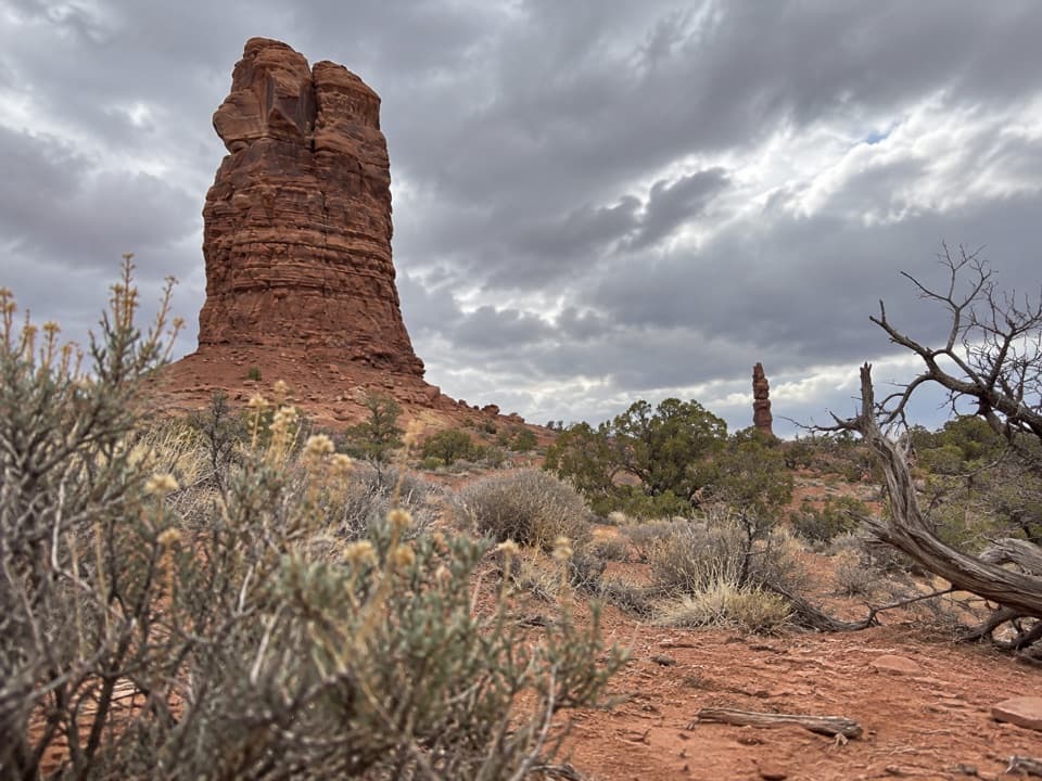
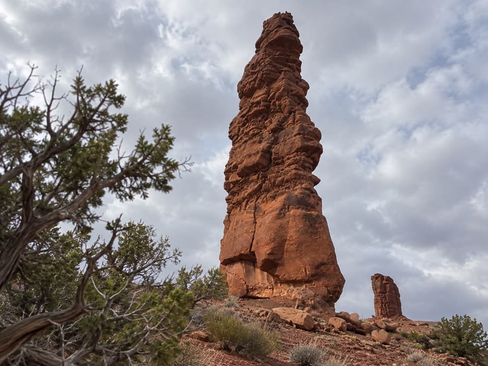
From the rim you peer into one of the most isolated landscapes in the Lower 48: intricately eroded canyons set in layered sandstones of the Colorado Plateau. The Chocolate Drops—dark red Organ Rock formations capped by lighter sandstone—stand out as signature landmarks. Rim campsites near the overlook tuck into sculpted rock, offering wind protection and a uniquely intimate setting with the landscape.

Difficulty and who will enjoy it

For experienced desert hikers comfortable with exposure, route-finding, and self-reliance, this is a grail-worthy outing. For beginners or those uneasy with heights and hands-on moves, it’s a hard pass. The descent and re-ascent are strenuous, the route-finding is real, and help is a long way off.

Logistics and safety

  • Length: 8 miles total (out-and-back) for the standard route.
  • Time: Plan 3–3.5 hours for the basic out-and-back, longer if exploring loops.
  • Access: The approach roads are rough; high-clearance 4WD is the norm for reaching the Maze Overlook trailhead and rim camps.
  • Water: Carry all you need; natural sources are rare and unreliable.
  • Gear: Consider gloves for scrambling and a short rope to pass or lower packs on the steepest steps. Bring detailed maps or GPS and know how to use them—cell service is essentially nonexistent.
  • Permits: Overnight trips in the Maze require a backcountry permit. Day hiking does not, but plan conservatively given the remoteness.

Best time to hike

Spring and fall are the sweet spots: milder temperatures and fewer hazards from heat or ice. Summer heat makes the slickrock descent punishing and potentially dangerous, while winter can introduce icy patches that elevate the risk on exposed ledges.

Bottom line

If you’re prepared and experienced, this trail delivers a rare blend of solitude, big-wall desert vistas, and just enough technical spice to make you earn every view. It’s one of the most rewarding—yet committing—routes in the park’s most remote district.

Pros

  • Historic Moki steps add both utility and cultural intrigue along the route
  • Unique rim campsites nestled in sculpted rock near the overlook

Cons

  • Class 4 scrambles with exposure often require passing or lowering packs
  • Cairn-to-cairn route-finding in lookalike terrain can be confusing
  • Minimal shade and unreliable water amplify risk in warm seasons

Parking

Park at the Maze Overlook trailhead by the rim campsites near Brimhall Point; high-clearance 4WD is required to reach it via rough access roads.

Caution

Steep, exposed Class 4 sections with real fall potential; difficult route-finding; no cell service; carry all water; bring maps/GPS and consider a short rope for packs. Self-rescue may be necessary.

The Parkwolf tour guide sitting on a phone mounted in a car

Parkwolf Tour Guide

Like a tour guide in your car.

Bring Canyonlands trail research into the car, with offline maps and stories that play as you drive.Download Parkwolf on the App Store