
Place · 9.8 mi away
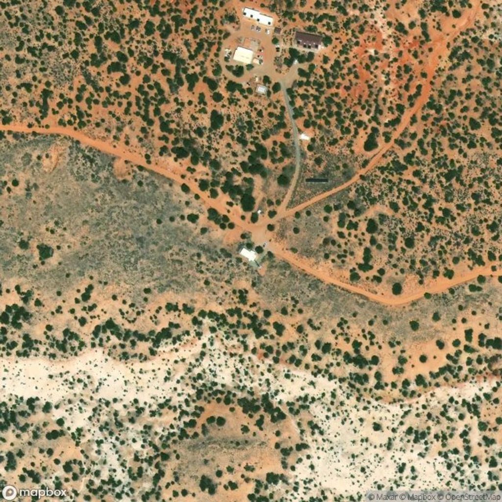
Hans Flat Ranger Station is the lone public contact point for the Maze District—think of it as the brainstem of a wildly remote corner of the park. It’s open year‑round with a tiny sales counter, a vault toilet, and a picnic table. There are no traveler services here or anywhere in The Maze: no food, no fuel, no potable water, and no trash collection. The nearest supplies are far away (Hanksville or Green River), so self‑sufficiency isn’t optional.
Inside, expect maps/books for sale and rangers who specialize in real‑time road intel, route advice, and backcountry permits. They’ll also brief you on which springs are currently reliable in the canyons. Outside is basic parking and that welcome vault toilet and picnic table. Visitors have reported a cell booster at the station that can make calls possible—handy for final check‑ins before you disappear into the backcountry.
If you’re headed into The Maze, this is where trips get sharpened from idea to plan. Rangers issue overnight permits, review your itinerary, and share critical conditions. In a district known for solitude and committing terrain, that conversation can make or break a trip.
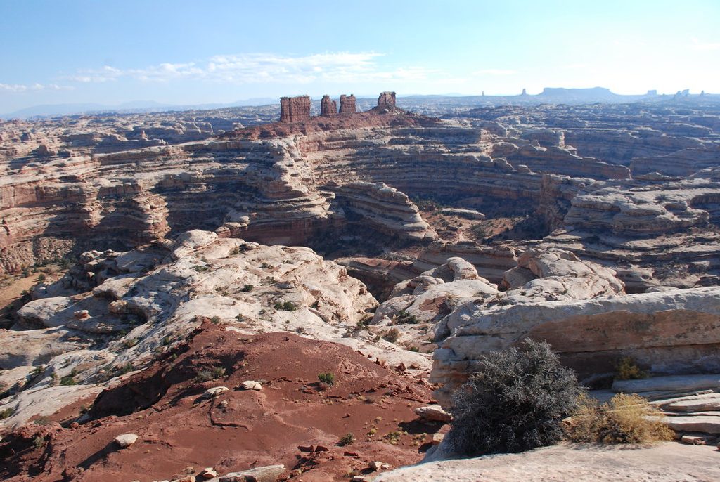
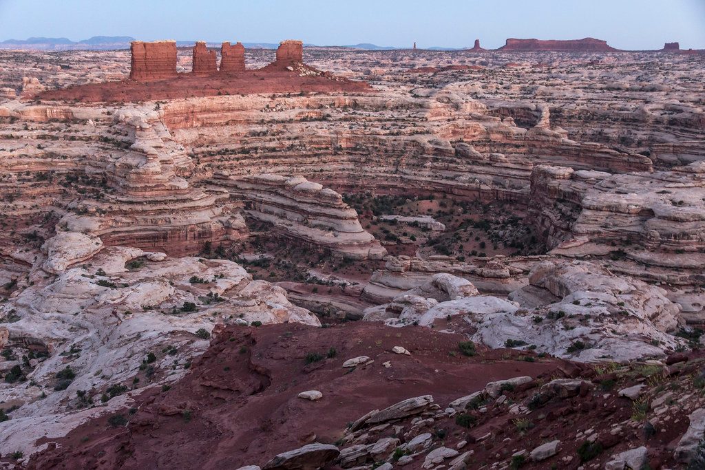
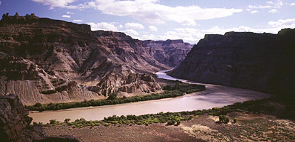
Reaching Hans Flat means lots of dirt and a feel‑it‑in‑your‑bones sense of distance. Beyond the station, the roads become serious—high‑clearance, low‑range 4x4 is the norm, and routes like the Flint Trail can be intimidating and sometimes impassable after storms or snow. Around the station, expect high‑desert vistas of slickrock, mesas, and the Orange Cliffs.
The broader Maze District hosts classic Colorado Plateau fauna—lizards, snakes, raptors, mule deer, and occasionally bighorn sheep. You’re here for wild country; keep your eyes open and your distance respectful.
Stop during daylight hours when rangers are on duty; mornings are ideal so you can get conditions, pick up permits, and still have time to reach your first campsite or trailhead. Crowds are rarely an issue—you might be the only visitor.
Overnight trips require permits issued here. You can reserve backcountry sites in advance, then finalize at the station. Use the stop to verify road status, route logistics, and water sources—don’t rely on old notes or assumptions.
Water (there’s none to fill here), all food, extra fuel, printed/offline maps, navigation tools, first‑aid and emergency gear, full camping kit, and trash bags to pack everything out. Treat this like an expedition, because it is.
Place · 9.8 mi away
Place · 10.2 mi away
Place · 10.9 mi away
Place · 13.3 mi away
Challenging · 7.3 mi away
Challenging · 9.8 mi away
Challenging · 12.1 mi away
Challenging · 14.4 mi away

Parkwolf Tour Guide
