
Place · 1.4 mi away
Challenging
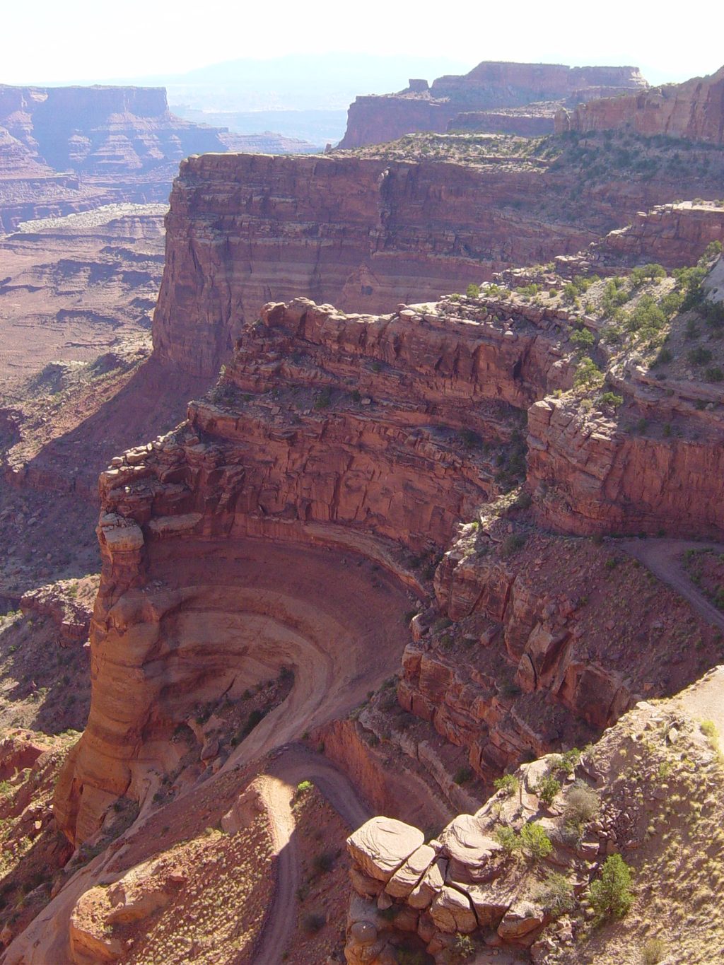
Lathrop is Island in the Sky’s big, committing day hike: a classic mesa‑to‑White Rim descent with huge views and a true backcountry vibe. From the signed trailhead on the mesa, you’ll cross open prairie and sandy stretches before the route drops off the rim on steep benches and ledges to the White Rim Road. It’s about 12.2 miles round trip to the White Rim, and roughly 21 miles round trip if you continue down Lathrop Canyon to the Colorado River. Expect a serious workout on the climb back to the mesa and very little shade.
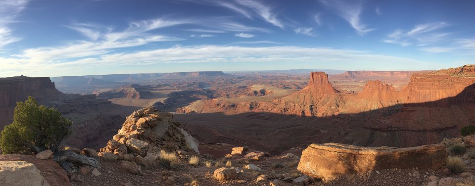
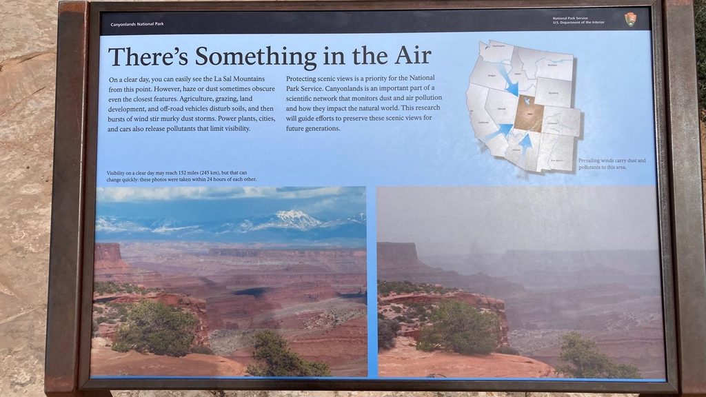
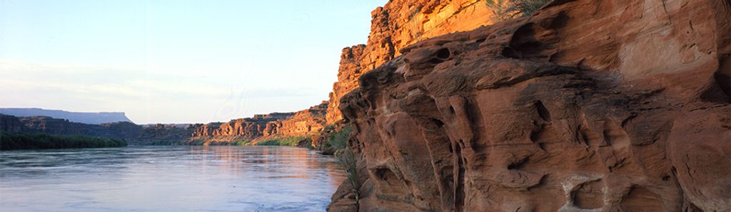
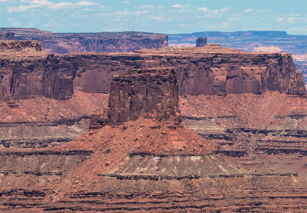
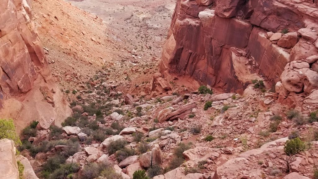
The opening miles stroll across high desert grassland (locals call it Gray’s Pasture) with seasonal wildflowers and big horizons toward the La Sals. Underfoot, the surface toggles between packed dirt, sand, and rounded slickrock “domes.” As the trail noses to the rim, the views explode over the canyons toward the Maze and Needles. The below‑the‑rim section is the money: a dramatic descent through red rock layers via cairned ledges and switchbacks to broad desert flats at the White Rim. If you have the legs and daylight, continuing down Lathrop Canyon leads to a mellow riverside day‑use area with rare shade and a pit toilet.
To the White Rim and back is a full day for most hikers due to length, exposure, and the sustained climb back up. The net elevation loss to the White Rim is on the order of 1,700 feet—paid back on the return. Many hikers opt for a shorter outing to the rim viewpoints and turn around after roughly 2–3 miles one way. Strong, well‑prepared parties can push the full canyon‑to‑river round trip (about 21 miles), but it’s a burly effort best saved for cool, long‑day windows.
Spring and fall are prime—cooler temps, softer light, and a shot at desert wildflowers up on the mesa. Summer is brutally hot and fully exposed; start pre‑dawn if you insist on a warm‑season attempt, and consider turning around at the rim. Winter can be quiet and gorgeous, but expect cold, wind, and occasional ice on the mesa.
Day hiking requires no permit. Overnight trips below the rim do require a backcountry permit. Pets are not allowed on this trail. The lower Lathrop Canyon road is open to vehicles and bikes, but bikes must access from the White Rim Road, not from the mesa‑top trail.
Small signed pullout on Island in the Sky’s main road (Grand View Point Road); park at the Lathrop Trailhead and start across the mesa.
Exposed, hot, and committing: ~1,700 ft descent/ascent to the White Rim, no water, scant shade, poor cell coverage, and some route‑finding below the rim. Turn around early if heat or time is a factor.
Place · 1.4 mi away
Place · 1.8 mi away
Place · 2.2 mi away
Place · 3 mi away
Moderate · 1.3 mi away
Easy · 3.8 mi away
Moderate · 4.1 mi away
Challenging · 4.4 mi away

Parkwolf Tour Guide
