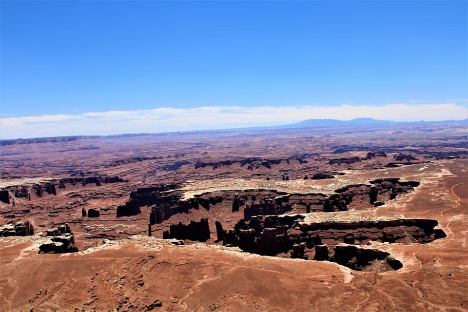
Shafer Canyon Overlook in Canyonlands National Park

#8 of 45 sights in Canyonlands

Sight · Canyonlands National Park

Shafer Canyon Overlook

Watch the road drop 1,400 feet into a canyon.

Photo: Wikimedia Commons
Type
Sight
Nearest trail
0.1 mi
Audio stories
3 nearby
  • Scenic viewpoint
  • Parking
  • Exhibit

Hear the audio tour

Shafer Canyon Overlooks

Overview

About Shafer Canyon Overlook

Why stop

  • The switchbacks make the canyon’s scale easy to grasp.

Map

Where it is

Loading the Canyonlands map
Full map
SightShafer Canyon Overlook38.45280, -109.81800
Keep this map with you offline in the Parkwolf app

Plan your stop

Before you go

2 active Canyonlands alerts

  • ClosureRain-damaged Needles backcountry roads impassableRecent rains have made several Needles backcountry roads impassable; do not drive these routes.Official details
  • CautionMaze access roads require high-clearance 4WDOnly use high-clearance 4WD to reach Hans Flat or Horseshoe Canyon in The Maze; low-clearance vehicles are not recommended on these damaged, rutted, muddy routes.Official details
Canyonlands alerts
A park ranger sits on a dash-mounted phone, talking, as Parkwolf’s Tour Guide plays “Army Cutworm Moths: A Grizzly Bear Buffet” on Grand Loop Road below Dunraven Pass in Yellowstone
Parkwolf Tour GuideThe highest, rockiest slopes around here are a summer buffet for grizzly bears.

Canyonlands Tour Guide

Your drive to Shafer Canyon Overlook, narrated.

Parkwolf is a GPS audio tour guide for Canyonlands National Park. As you drive, it chimes in with what’s ahead: hidden gems, upcoming stops, history, geology, and wildlife, right through your car’s speakers.

See the Canyonlands audio tour

Recorded for this place

Shafer Canyon Overlooks
0:00 / 0:34
“Up ahead are the Shafer Canyon overlooks, where you can see the switchbacks without driving the backcountry road yourself.”

Plays as you drive up to Shafer Canyon Overlook in the Parkwolf Canyonlands Tour Guide.

More stories near here in the app

  • Island in the Sky Visitor Center
  • Lathrop Trailhead
  • A Thin Coat on the Cliffs
  • Four Wooden Boats into Canyon Country
  • 43 audio storiesacross Canyonlands’s roads, triggered by GPS as you drive
  • Wildlife heatmapsfor Bighorn Sheep, Mule Deer, Coyote, and 13 more
  • Works offlinemaps, 63 trails, 65 places, and audio download before you lose signal
  • CarPlay readysimple controls built for the drive
★★★★★
“Fantastic app with many points of information… It’s great to just turn on while you’re driving and it gives you an audio tour of the national Park. We love it!!!!”
JMJamesApp Store review
Download Parkwolf on the App StoreGet Parkwolf on Google Play

4.7 from 8,600+ ratings

Guide

More about Shafer Canyon Overlook

Follow the road downShafer Canyon Overlook is a roadside viewpoint in Island in the Sky, looking into the canyon…

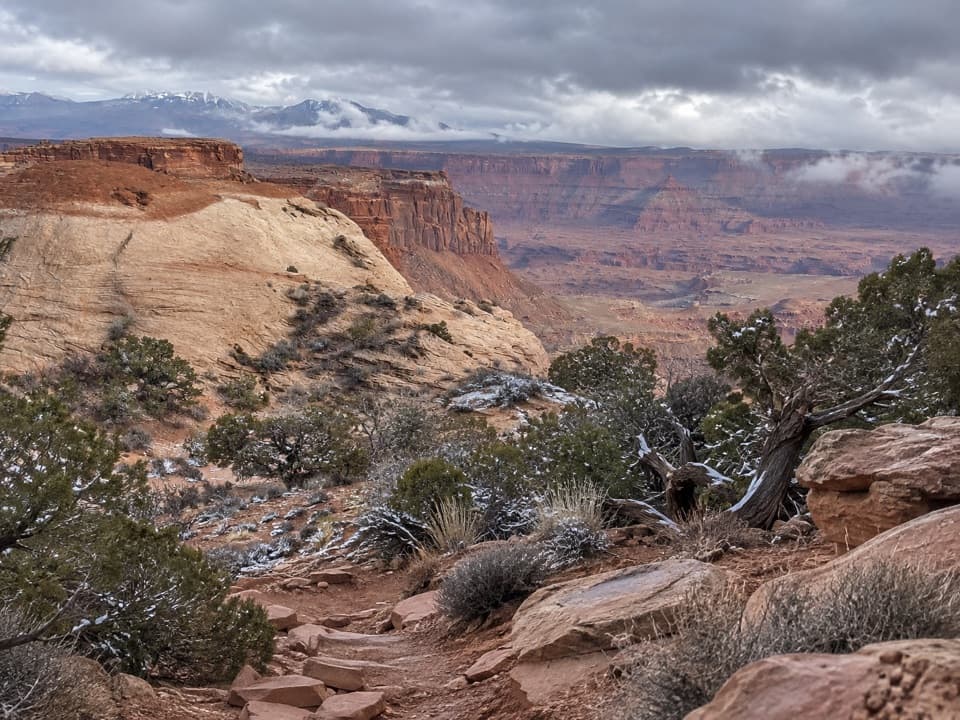
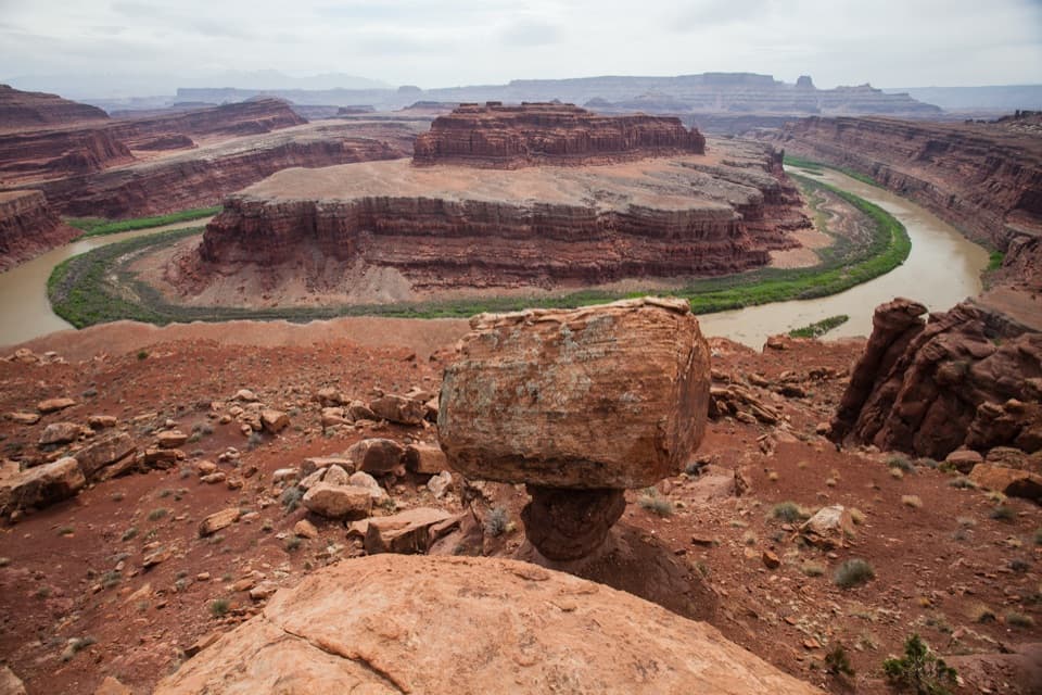
Shafer Canyon Overlook is a roadside viewpoint in Island in the Sky, looking into the canyon and down the switchbacks of Shafer Trail. The road hugs the canyon wall as it drops 1,400 feet and provides access to the 100-mile White Rim Road. It is a useful stop for seeing how the mesa connects to the backcountry; the road below is a separate outing from the overlook itself. The wayside panel is worth a pause too, since it explains both the rock layers and the route.

For a photo, keep the pale road in the frame as it bends across the canyon wall. It gives the cliffs scale and makes the route visible in a way a frame filled only with rock would not.

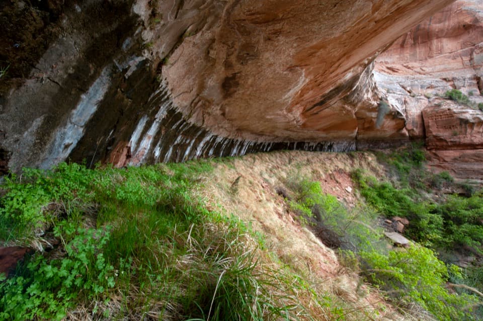
Read the canyon wallsThe dark, glossy streaks on the desert rock are varnish formed by manganese and iron.

The dark, glossy streaks on the desert rock are varnish formed by manganese and iron. At the foot of the Wingate cliffs, the Chinle Formation includes sandstone and siltstone laid down by water, plus volcanic ash carried by wind; uranium was later mined from this layer. The Wingate cliffs themselves were built from ancient desert dunes and can reach 500 feet.

Look for the thinner bands in the Kayenta Formation, deposited by streams; erosion can expose dinosaur tracks in its ledges. Higher Navajo Sandstone preserves cross-bedding from old dunes, while vertical cracks called joints guide water, ice and roots as they break the rock apart.

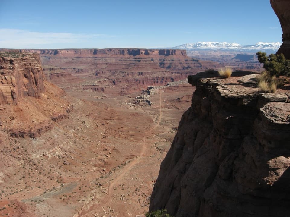
A route older than the parkIndigenous people likely used this route to travel from the mesa toward the Colorado River.

Indigenous people likely used this route to travel from the mesa toward the Colorado River. Ranchers drove livestock down it in the early 1900s, when the narrow track was rough enough that animals sometimes fell. During the 1950s uranium boom, the road was upgraded for trucks hauling ore and mining equipment. Canyonlands National Park was established in 1964, ending the route's ranching and mining era; backcountry travelers still use it today.

A pocket of cooler-climate forestThe canyon's shaded spring supports Douglas fir, remnants of a much cooler, wetter climate.

The canyon's shaded spring supports Douglas fir, remnants of a much cooler, wetter climate. On drier ground, pinyon and Utah juniper form the park's slow-growing pygmy forest, taking root wherever a crack holds water. The panel connects those trees to the same forces that shape the cliffs: shade, water and the slow work of erosion.

Wildlife

Wildlife in Canyonlands

All Canyonlands wildlife maps

Sighting maps show where each species has been reported across Canyonlands. Wildlife moves, so no sighting is guaranteed.

Parkwolf’s Canyonlands ranking

Top sights in Canyonlands

All 65 places
  1. 1Mesa ArchSight
  2. 2Grand View PointSight
  3. 3Green River OverlookSight
  4. 4Great GallerySight
  5. 5Upheaval DomeSight
  6. 6Druid ArchSight

Take Parkwolf to Canyonlands.

The audio tour guide for the drive, plus offline maps, trails, and wildlife heatmaps for when the signal drops.

4.7 from 8,600+ ratings

Download Parkwolf on the App StoreGet Parkwolf on Google Play