Parking
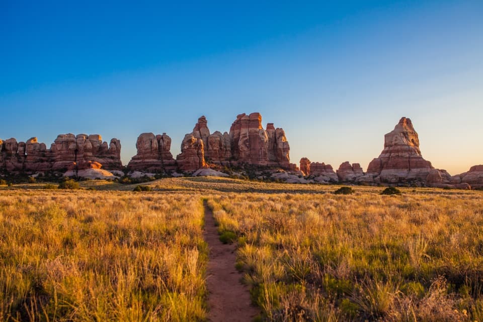
Shafer Canyon Overlook parking lot on Island in the Sky Road, about 0.8 mile south of the visitor center. The trail begins at the west side of the lot, which also serves the overlook.
Canyonlands National Park, UT
A 5.6-mile loop past old ranching traces and a sandstone spring.
Overview
Map & elevation
Plan your hike

The highest, rockiest slopes around here are a summer buffet for grizzly bears.
Canyonlands Tour Guide
Parkwolf is a GPS audio tour guide for Canyonlands National Park. As you drive, it chimes in with what’s ahead: hidden gems, upcoming stops, history, geology, and wildlife, right through your car’s speakers.
See the Canyonlands audio tourRecorded for this trailhead
Shafer Canyon Overlooks“Up ahead are the Shafer Canyon overlooks, where you can see the switchbacks without driving the backcountry road yourself.”
Plays as you drive up to this trailhead in the Parkwolf Canyonlands Tour Guide.
More stories near here in the app
“Fantastic app with many points of information… It’s great to just turn on while you’re driving and it gives you an audio tour of the national Park. We love it!!!!”


Trail guide
Neck Spring Trail is a 5.6-mile loop from the Shafer Canyon Overlook lot, usually 3 to 4 hours. It drops off the mesa into a sandstone basin with springs and old ranching remains, then opens toward Taylor Canyon before a steep slickrock climb returns to the rim. The NPS rates it moderate and lists 418 feet of elevation change. It is a good half-day choice if you want a longer walk beyond the familiar mesa-top overlooks. Cairns mark the route; going counterclockwise takes you to the basin and spring before the steeper climb.
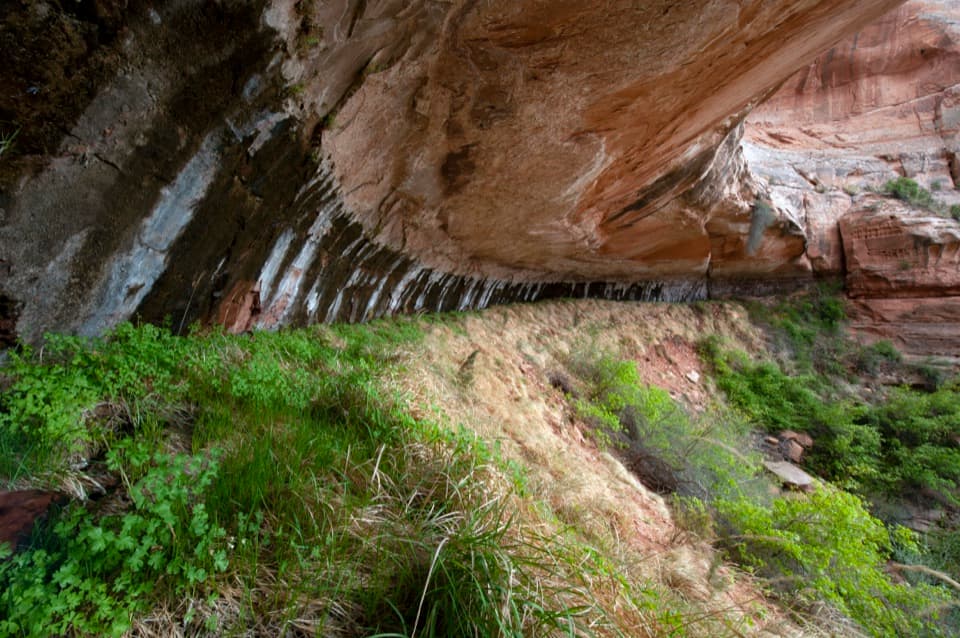
From the west side of the lot, the route drops a small hill, crosses Island in the Sky Road, then descends through a sandy basin dotted with piñon, yucca and blackbrush. It follows the cliffs past alcoves and old watering troughs. Around 1.4 miles, you reach Neck Spring. A curved metal trough and pipe remain, but the trough no longer works and dense brush makes the seep hard to reach. There is no potable water along the trail, so do not plan to refill here.
Past the spring, rolling sandy benches and small drainages lead to the Taylor Canyon overlook. A stout arch sits high on the canyon's north wall just beyond it. Give yourself a moment to find the arch, and keep some of the wall in the frame so its scale reads against the canyon.
The loop crosses a creek bottom that may be flowing, then climbs steeply over ledges and slickrock ramps. Cairns matter on the open rock, and they can be easy to miss when you are watching your footing. The return crosses broad slabs, crosses the road again, and follows the Neck toward the lot. Stay on the cairned route: cryptobiotic soil crust can take decades to recover from footprints, and adding new cairns only makes navigation harder.
Wildlife
 48 sightingsBighorn SheepMost seen around 7 AMSighting map
 47 sightingsMule DeerMost seen around 7 AMSighting map
 12 sightingsCoyoteMost seen around 7 PMSighting map
 30 sightingsWestern RattlesnakeMost seen around 7 PMSighting map
 18 sightingsTurkey VultureMost seen around 11 AMSighting map
 18 sightingsWild TurkeyMost seen around 7 AMSighting map
Sighting maps show where each species has been reported across Canyonlands. Wildlife moves, so no sighting is guaranteed.
Keep exploring
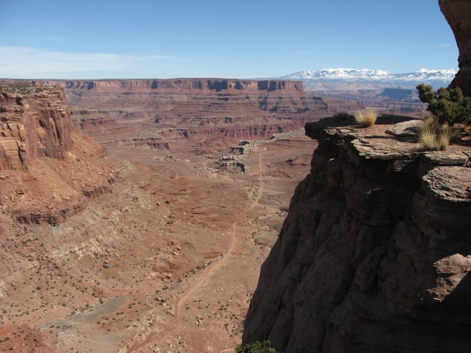 EasyShafer Canyon Overlook Trail0.3 mi · 30 min · 0.1 mi awayLook south for Shafer's switchbacks, then north for the La Sal peaks.
 ModerateLathrop Trail to Canyon Rim5 mi · 2.5 hr · 1.3 mi awayFive miles across mesa grassland to a canyon rim view.
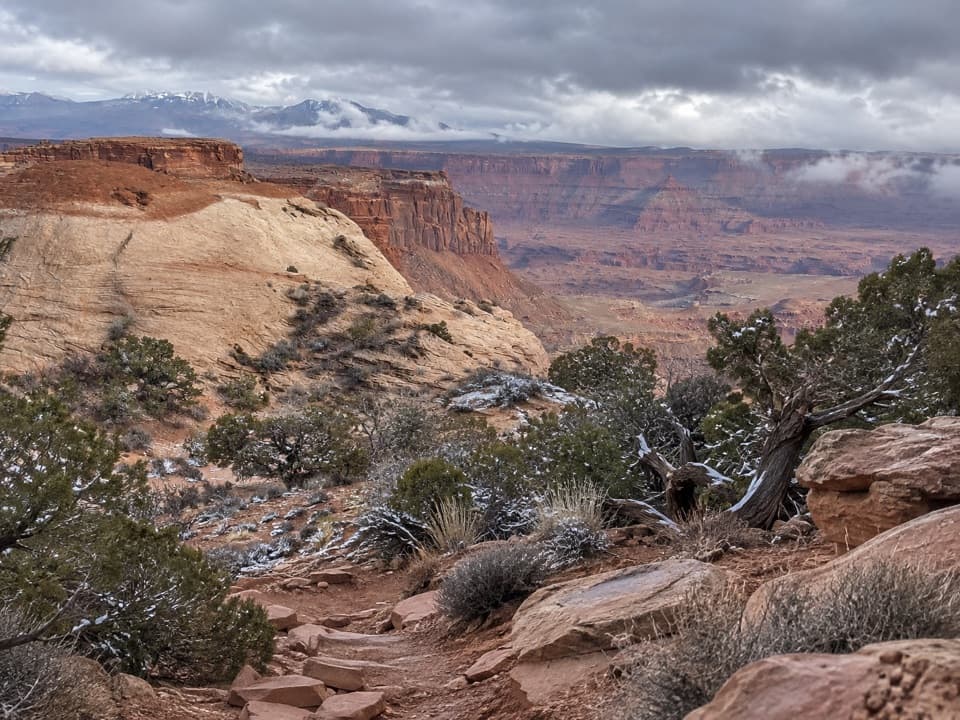 ChallengingLathrop Trail to White Rim Road11.8 mi · 6 hr · 1.3 mi awayOpen grassland gives way to slickrock and a steep canyon descent.
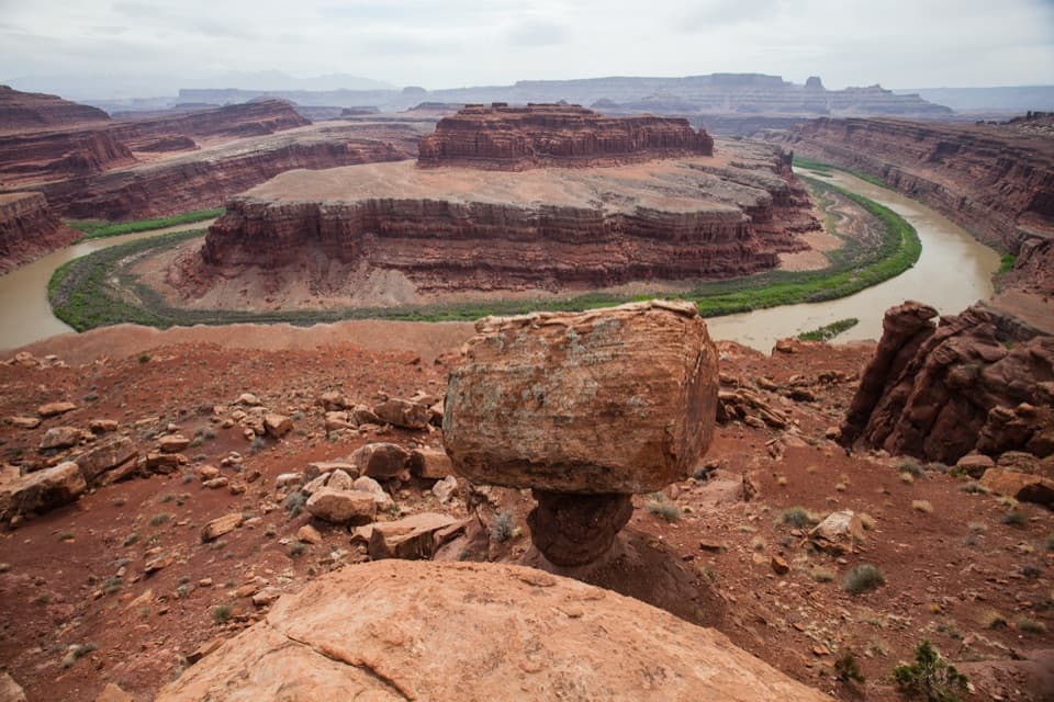 EasyGooseneck Overlook Trail0.6 mi · 30 min · 2.5 mi awayA short walk to a tight bend in the Colorado River.
 EasyMesa Arch Trail0.6 mi · 36 min · 5.1 mi awayShort loop, cliff-edge arch, canyon views framed by the La Sal Mountains.
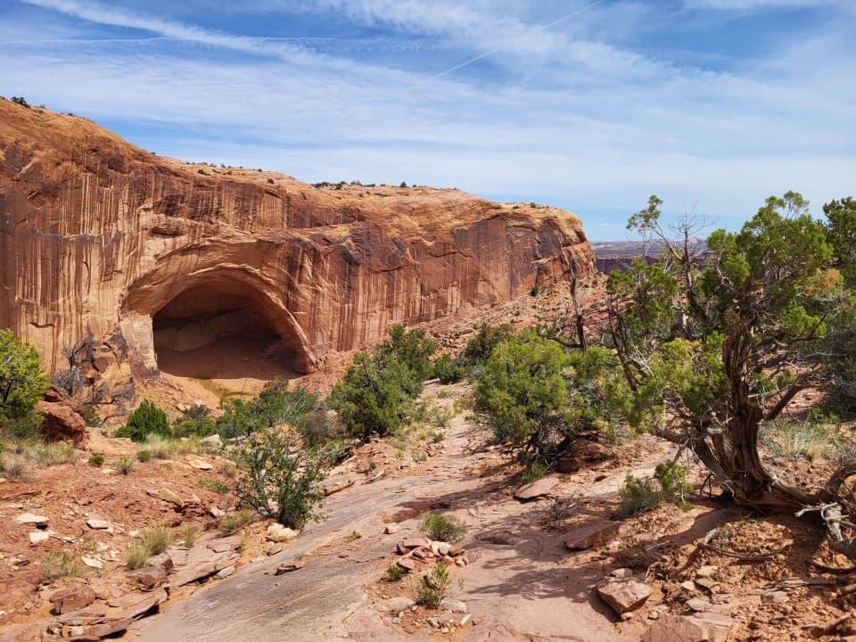 ChallengingAlcove Spring Trail11.2 mi · 6.5 hr · 5.2 mi awayFull-day canyon descent to Alcove Spring and Moses and Zeus towers.
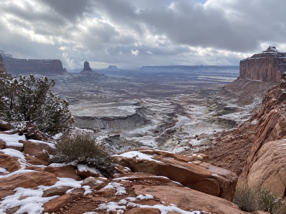 ModerateFalse Kiva Trail1.9 mi · 1.8 hr · 5.2 mi awayA rough, cairned descent to wide views over Holeman Canyon.
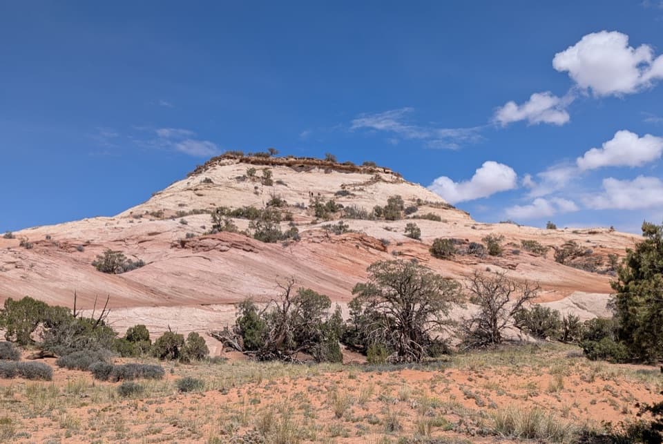 ModerateAztec Butte Trail1.4 mi · 1.8 hr · 5.3 mi awayTwo slickrock scrambles: one for canyon views, one for granaries.Sight · 0.1 mi awayShafer Canyon OverlookWatch the road drop 1,400 feet into a canyon.
 Sight · 0.3 mi awayShafer Trail ViewpointWatch the Shafer Trail drop through 1,500 feet of sandstone.
 Visitor center · 0.5 mi awayIsland in the Sky Visitor CenterGet maps, permits and ranger advice before the mesa drive.
 Entrance station · 1.6 mi awayIsland in the Sky Entrance StationPay for park entry before the Island in the Sky overlooks.Sight · 2.8 mi awayGooseneck OverlookA Colorado River bend at the end of a serious backcountry detour.
 Sight · 3 mi awayMusselman ArchA low sandstone bridge in the middle of the White Rim backcountry.
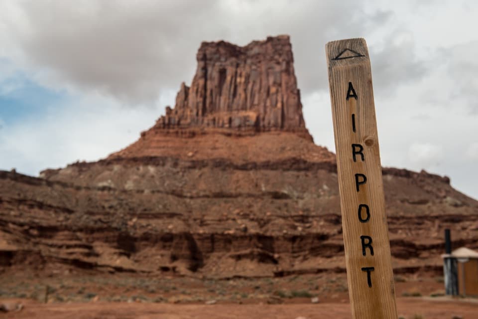 Campground · 4.3 mi awayAirport Camping AreaFour backcountry sites for a slow White Rim 4WD trip.
 Sight · 5 mi awayMesa ArchFamous for sunrise glow; the canyon view is worth a later stop.
Parkwolf’s Canyonlands ranking

The audio tour guide for the drive, plus offline maps, trails, and wildlife heatmaps for when the signal drops.