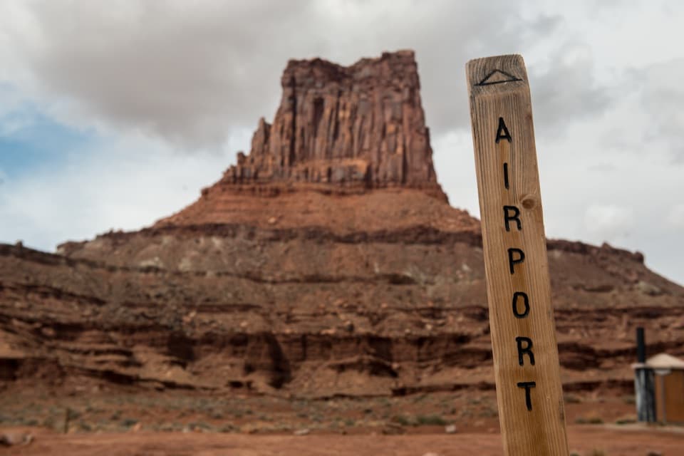
Island in the Sky Visitor Center in Canyonlands National Park

Visitor center · Canyonlands National Park

Island in the Sky Visitor Center

Get maps, permits and ranger advice before the mesa drive.

Photo: National Park Service
Type
Visitor center
Nearest trail
0.5 mi
Audio stories
4 nearby
  • Exhibit
  • Store
  • Restrooms
  • Picnic tables

Hear the audio tour

Island in the Sky Visitor Center

Overview

About Island in the Sky Visitor Center

Why stop

  • The canyon-district model and geology displays make the overlooks easier to read.

Map

Where it is

Loading the Canyonlands map
Full map
Visitor centerIsland in the Sky Visitor Center38.45980, -109.82099
Keep this map with you offline in the Parkwolf app

Plan your stop

Before you go

2 active Canyonlands alerts

  • ClosureRain-damaged Needles backcountry roads impassableRecent rains have made several Needles backcountry roads impassable; do not drive these routes.Official details
  • CautionMaze access roads require high-clearance 4WDOnly use high-clearance 4WD to reach Hans Flat or Horseshoe Canyon in The Maze; low-clearance vehicles are not recommended on these damaged, rutted, muddy routes.Official details

Canyonlands alerts
A park ranger sits on a dash-mounted phone, talking, as Parkwolf’s Tour Guide plays “Army Cutworm Moths: A Grizzly Bear Buffet” on Grand Loop Road below Dunraven Pass in Yellowstone
Parkwolf Tour GuideThe highest, rockiest slopes around here are a summer buffet for grizzly bears.

Canyonlands Tour Guide

Your drive to Island in the Sky Visitor Center, narrated.

Parkwolf is a GPS audio tour guide for Canyonlands National Park. As you drive, it chimes in with what’s ahead: hidden gems, upcoming stops, history, geology, and wildlife, right through your car’s speakers.

See the Canyonlands audio tour

Recorded for this place

Island in the Sky Visitor Center
0:00 / 0:28
“You're approaching Island in the Sky Visitor Center, a useful stop for getting the canyon country straight in your head.”

Plays as you drive up to Island in the Sky Visitor Center in the Parkwolf Canyonlands Tour Guide.

More stories near here in the app

  • Shafer Canyon Overlooks
  • A Thin Coat on the Cliffs
  • Lathrop Trailhead
  • Four Wooden Boats into Canyon Country
  • 43 audio storiesacross Canyonlands’s roads, triggered by GPS as you drive
  • Wildlife heatmapsfor Bighorn Sheep, Mule Deer, Coyote, and 13 more
  • Works offlinemaps, 63 trails, 65 places, and audio download before you lose signal
  • CarPlay readysimple controls built for the drive
★★★★★
“Fantastic app with many points of information… It’s great to just turn on while you’re driving and it gives you an audio tour of the national Park. We love it!!!!”
JMJamesApp Store review
Download Parkwolf on the App StoreGet Parkwolf on Google Play

4.7 from 8,600+ ratings

Guide

More about Island in the Sky Visitor Center

Your first stop in the districtIsland in the Sky Visitor Center is a ranger and orientation hub on the eastern edge of…

Island in the Sky Visitor Center is a ranger and orientation hub on the eastern edge of Canyonlands’ high sandstone mesa. It’s a useful first stop before the scenic drive: a canyon-district model, geology and history exhibits, maps and ranger advice help explain what you’ll see from the overlooks.

Check the approach before leaving MoabFrom Moab, drive 10 miles north on US 191, then take UT 313 southwest for 22 miles; the trip to…

From Moab, drive 10 miles north on US 191, then take UT 313 southwest for 22 miles; the trip to the center takes about 40 minutes. Navigation apps can send drivers the wrong way, so check the route on a map before you leave town. The center operates through the year, but hours shift by season and winter or holiday exceptions apply, so check before heading up.

Inside the centerThe exhibits cover Canyonlands’ geology, history and ecology, and a large model helps show how…

The exhibits cover Canyonlands’ geology, history and ecology, and a large model helps show how the district’s canyons fit together. There’s also a short orientation film, book and map sales, and a ranger desk for park information and backcountry permits. Give yourself a few minutes to look at the model before choosing among the paved overlooks, short walks and remote roads.

Water, toilets and a picnic stopVault toilets and covered picnic tables are outside.

Vault toilets and covered picnic tables are outside. Drinking water is available all year: the outdoor supply runs around the clock in summer and fall, while in winter water is available inside only when the center is open. Top up here before heading farther into the district. Wi-Fi is available, but there are no electrical outlets.

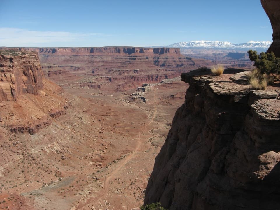
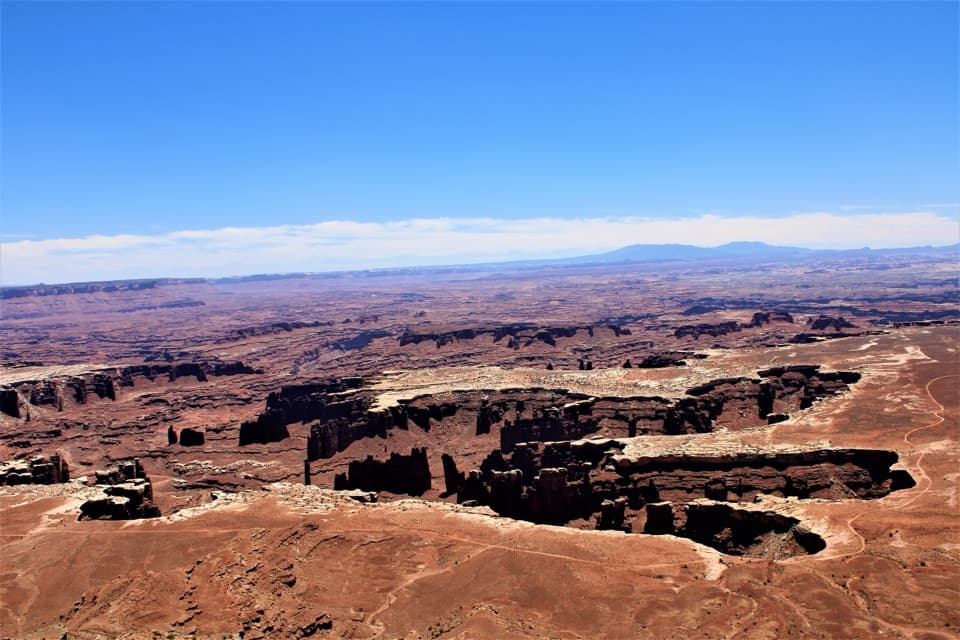
The canyon edgeFrom the center area and across the road, the land drops into red canyons and buttes, with the…

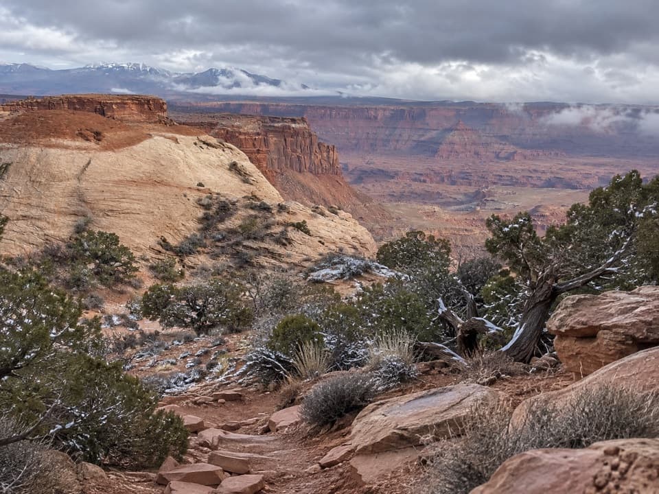
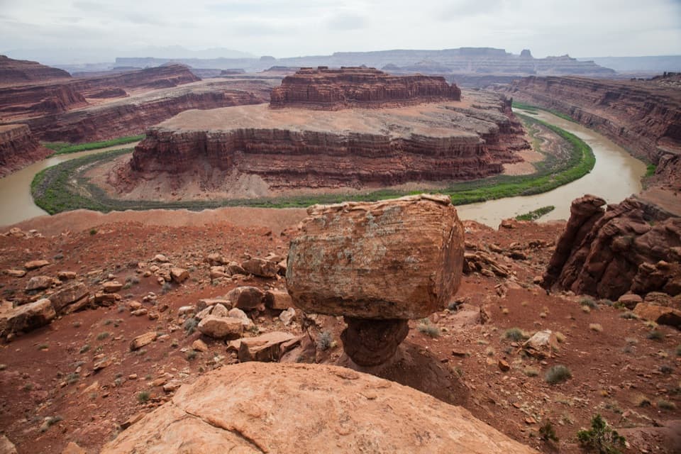
From the center area and across the road, the land drops into red canyons and buttes, with the La Sal Mountains in the distance on clear days; the Colorado and Green rivers aren’t visible from the building. The sandstone mesa rises more than 1,000 feet above the surrounding terrain, and this is an easy place to see that layered drop without a hike. Dust carried by prevailing winds can soften distant layers or hide closer features, so the view depends on the air as well as the light.

Wildlife

Wildlife in Canyonlands

All Canyonlands wildlife maps

Sighting maps show where each species has been reported across Canyonlands. Wildlife moves, so no sighting is guaranteed.

Parkwolf’s Canyonlands ranking

Top sights in Canyonlands

All 65 places
  1. 1Mesa ArchSight
  2. 2Grand View PointSight
  3. 3Green River OverlookSight
  4. 4Great GallerySight
  5. 5Upheaval DomeSight
  6. 6Druid ArchSight

Take Parkwolf to Canyonlands.

The audio tour guide for the drive, plus offline maps, trails, and wildlife heatmaps for when the signal drops.

4.7 from 8,600+ ratings

Download Parkwolf on the App StoreGet Parkwolf on Google Play