Pros & cons
PROS
- Short, efficient climb to big Atlantic-coast views
- Stairs on the steep bits and a bench at the summit
CONS
- Small parking area that fills quickly
- Steep, rocky and rooty trail with limited shade near the top
Overview
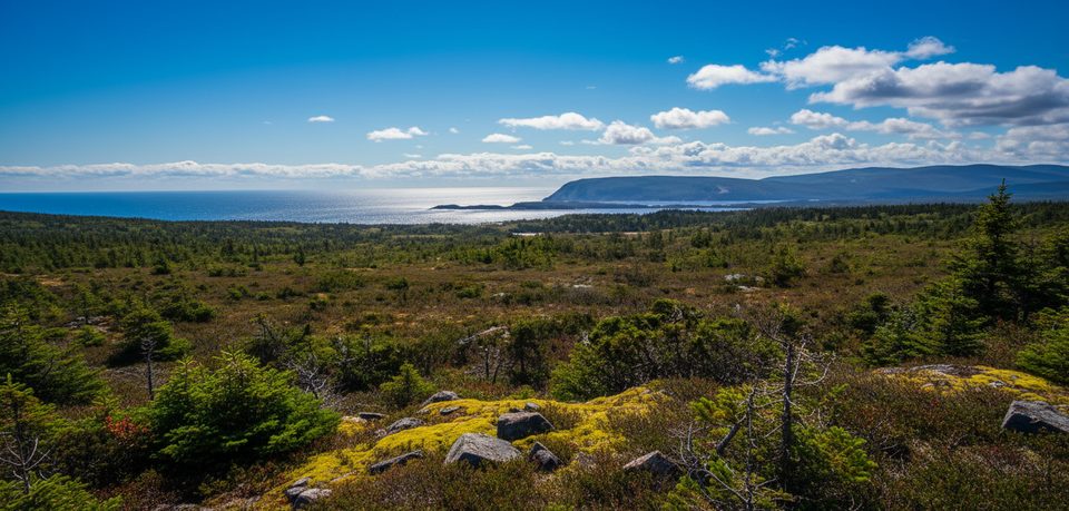
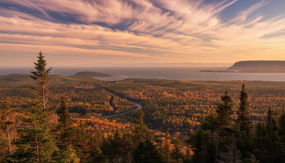
This is the park’s quick win: a short, steady climb that swaps softwood forest for a breezy summit with sweeping views of Ingonish, Middle Head, Cape Smokey, and Broad Cove. It’s a genuine workout packed into about an hour, and the payoff is classic Atlantic coastline from a compact summit perch.
Trail at a Glance
- Distance/elevation: 2.3 km return with about 168 m of gain; most parties take ~1 hour.
- Terrain: Forested switchbacks, rocks and roots, with stairs where it gets steep.
- Summit: A bench at the top and panoramic coastal views.
What You’ll See
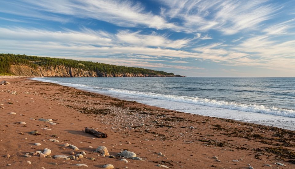
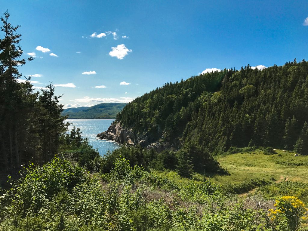
The path winds through dense softwood before popping out to open views over the Atlantic. On clear days you can pick out Middle Head and Cape Smokey across the water. Keep your eyes up—moose and eagles are possible sightings on this side of the park.
Logistics
- Trailhead/parking: Small lot on Warren Lake Road; spaces are limited and can fill.
- Services: No restrooms at the trailhead—plan ahead.
- Pass: A valid Parks Canada pass is required for park use.
- Pets & drones: Dogs must be leashed; recreational drones are not permitted.
- Seasons: The trail sees no maintenance in the off‑season; after snowfall it’s commonly done on snowshoes.
- Bugs: Black flies and mosquitoes are common in summer—bring repellent.
Geology Snapshot
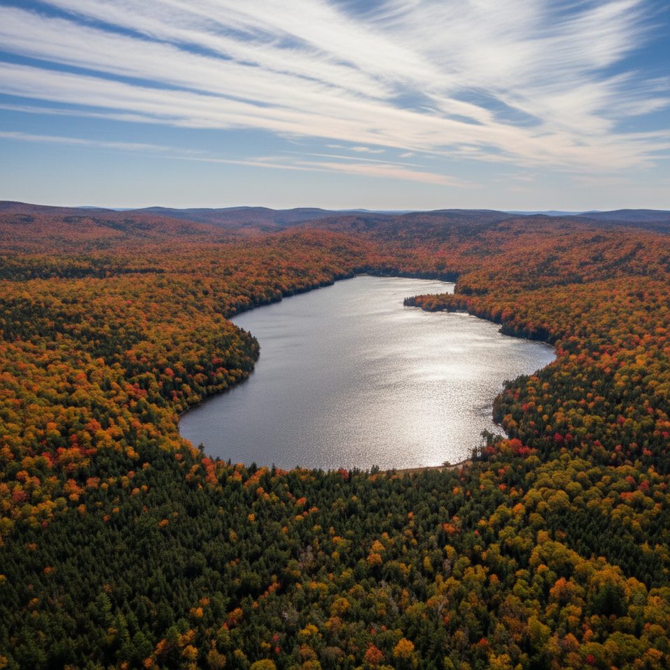
You’re climbing the edge of the Cape Breton Plateau, an ancient slice of the Appalachian chain shaped by mountain building, erosion, and glaciation. That broad, worn upland drops toward the Atlantic here, which is why the summit view feels so expansive.
Best Time to Visit
Aim for early morning: recent hikers recommend it for cooler temps, easier parking, and softer light. Weekdays tend to be quieter than weekends. Late afternoon also treats the coastline well if you’re chasing golden-hour color.
Make It a Mini‑Itinerary
Pair this with nearby Middle Head for another ocean‑forward perspective. Note that Mary Ann Falls Road is now closed to vehicles and functions as a hiking route, so plan timing accordingly if you’re adding it to your day.
Where it is
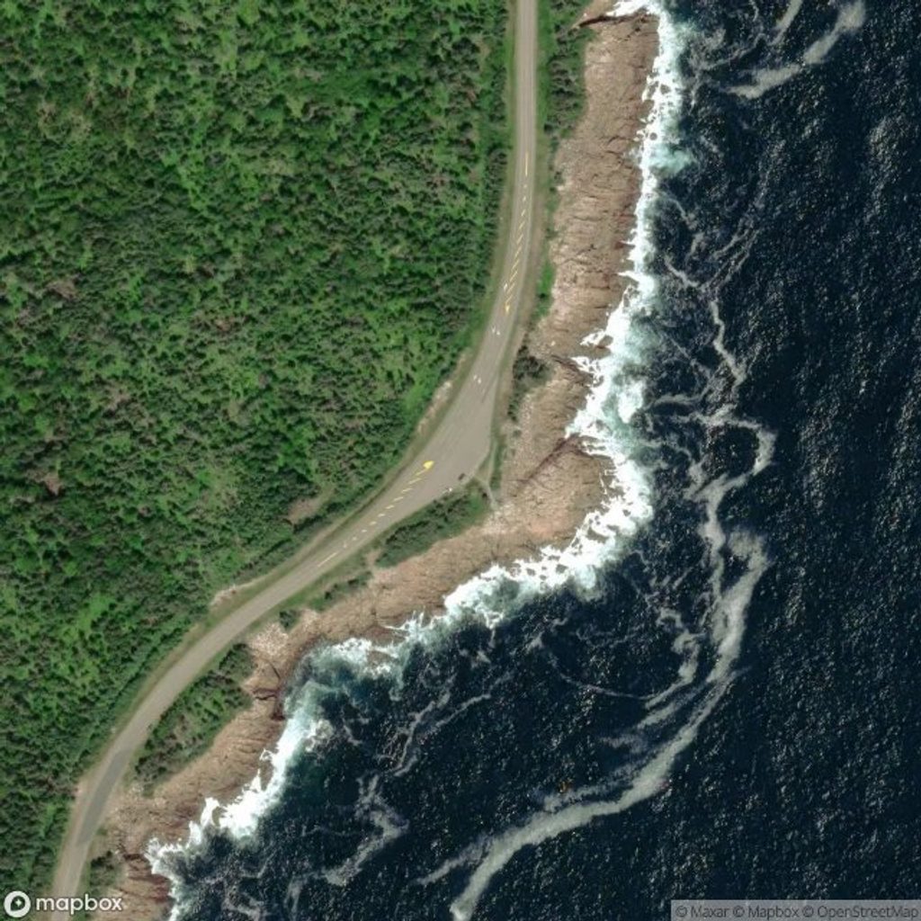
46.7150, -60.3704Tips for Broad Cove Mountain
- 01Arrive early in the morning to beat the small parking lot and for better light.
- 02Wear sturdy shoes—expect rocks, roots, and stairs on sustained uphill.
- 03There are no restrooms at the trailhead; use facilities elsewhere beforehand.
- 04Carry water and sun protection; shade thins out near the summit.
- 05Bring bug spray in summer, and consider snowshoes after fresh snowfall.
Amenities
Near Broad Cove Mountain
All places →All trails →
0.4 mi awayBroad Cove CampgroundOceanside basecamp with beach access and full hookupsCampground · Restroom
0.7 mi awayWarren Lake TrailEasygoing lake loop with swim-friendly beach and a fun footbridgeEasy · 2.9 mi · 1.7 hr
0.9 mi awayBroad Cove BeachQuiet sandy strand inside Broad Cove Campground with a rinsing brookRestroom · Parking
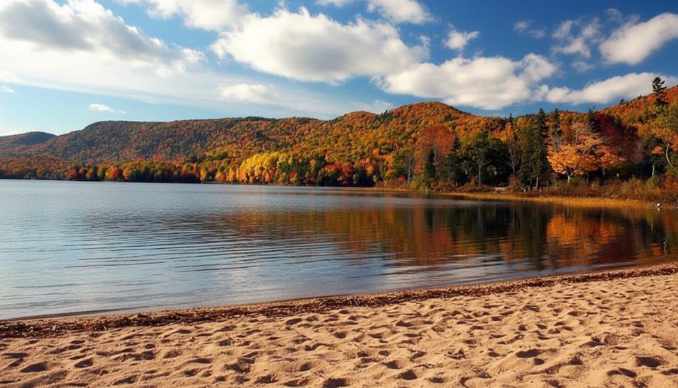
1.2 mi awayWarren LakeFreshwater beach loop with loons, eagles, and a mellow swimTrailhead · Restroom
2.3 mi awayLakie's HeadQuick pull-off with big Atlantic views and whale-spot potentialPullout · Parking
2.6 mi awayBranch Pond Look-off TrailPlateau panorama and Atlantic glimpses via a gently climbing track.Moderate · 5.2 mi · 3 hr
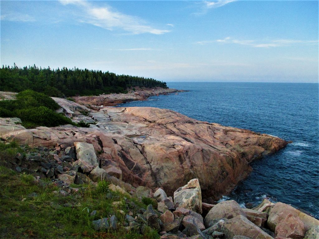
3.3 mi awayGreen Cove TrailTiny stroll to pink granite and Atlantic dramaEasy · 0.1 mi · 10 min
4.1 mi awayMiddle Head TrailEasy headland ramble to sweeping Atlantic cliffs and lookoffsEasy · 3.3 mi · 1.8 hr