Parking
Trailhead parking is just beyond Keltic Lodge on Keltic In Road (383 Keltic In Road, Ingonish).
#3 of 27 trails in Cape Breton Highlands
Cape Breton Highlands National Park, NS
A mostly level coastal walk to Atlantic-facing headland cliffs.
Overview
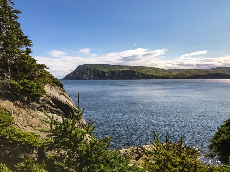
Middle Head Trail is a 5.3 km out-and-back along a long, narrow peninsula between North Bay and South Bay Ingonish, ending at Atlantic-facing headland cliffs. The official distance includes an interpretive loop at the far end; allow 1.5 to 2 hours. I’d keep it high on the list if you want a proper coastal walk without a big mountain climb. The grade is easy, and the natural trail surface has short climbs, exposed roots and rocky, rugged stretches. It feels more up-and-down than the easy rating suggests, so it suits walkers who are comfortable watching their footing.
 Parkwolf’s verdictIs this hike for you?
Map & elevation
Plan your hike

The highest, rockiest slopes around here are a summer buffet for grizzly bears.
Cape Breton Highlands Tour Guide
Parkwolf is a GPS audio tour guide for Cape Breton Highlands National Park. As you drive, it chimes in with what’s ahead: hidden gems, upcoming stops, history, geology, and wildlife, right through your car’s speakers.
See the Cape Breton Highlands audio tourRecorded for this trailhead
Middle Head Trail“You're nearing the Middle Head trailhead, just beyond Keltic Lodge. This is a good choice for a coastal walk without a big mountain climb, with an hour and a half to two hours needed for the return trip.”
Plays as you drive up to this trailhead in the Parkwolf Cape Breton Highlands Tour Guide.
More stories near here in the app
“Fantastic app with many points of information… It’s great to just turn on while you’re driving and it gives you an audio tour of the national Park. We love it!!!!”


Trail guide
Start just beyond Keltic Lodge. The mapped route loops around the north side of the first headland before joining the trail east across the peninsula. From there, the path stays close to the coast and gradually opens toward the far headland. Expect a series of short rises rather than one long climb. Some hikers find a late down-and-up, about three-quarters of the way along, more tiring than expected. Give yourself the full time estimate and leave a little room for the end loop and stops; there is enough to look at that a fast turnaround would waste the best part.
At the peninsula’s neck, the woods open into a meadow about 40 metres wide. It’s a good place to see how narrow the land is, with cliffs and water on both sides. Beyond it, the route runs through rocky, rugged sections with exposed tree roots before reaching the open headland. The map names Carsons Cove to the north, and Mink and Seine Coves near the far end. That’s a useful way to picture the walk: a full peninsula route between two bays.
The payoff is a series of coast views that culminate on cliffs above the Atlantic. Cape Smokey and Ingonish Island stand across the water, and you can look in both directions along the peninsula. Walk the interpretive loop at the end and pause for both views before heading back. From the meadow, include a strip of foreground rock or evergreen with the opposite cliffs; it gives a photo some scale without stepping off the trail.
Interpretive panels share Mi’kmaq stories and connections to the land and sea, alongside the peninsula’s natural and cultural history. The route also follows a coast used by fishing boats; in early summer, you may see them offshore. Possible sightings include seabirds, seals, whales and eagles; none are guaranteed. Give the water a few minutes of attention when you stop, especially from the headland where the view opens fully.
The trailhead is just beyond Keltic Lodge on Keltic In Road, at civic address 383 Keltic In Road. A park pass is required, and dogs must stay leashed. The park is open year-round, though full visitor services run from mid-May to mid-October. The trail ends on exposed headland cliffs and includes low rocky shore nearby; keep well back. Rogue waves can sweep low shoreline rocks in high winds and for several days after a storm, and coastal weather can change quickly.
Older descriptions may give a 3.8 km distance. That is the pre-redevelopment trail, damaged in the November 2021 storms; the current official route is 5.3 km return. Use the current map when matching a route on the ground.
Wildlife
 180 sightingsMooseMost seen around 5 AMSighting map
 60 sightingsBlack BearMost seen around 6 PMSighting map
 48 sightingsBald EagleMost seen around 8 AMSighting map
 29 sightingsGrey SealMost seen around 7 AMSighting map
 14 sightingsCoyoteMost seen around 8 PMSighting map
 10 sightingsWhite-tailed DeerMost seen around 6 AMSighting map
Sighting maps show where each species has been reported across Cape Breton Highlands. Wildlife moves, so no sighting is guaranteed.
Keep exploring
 EasyFreshwater Lake Trail1.7 km · 35 min · 1.5 km awayFlat shore paths, a beaver pond, and ocean air in one loop.
 ModerateFreshwater Lake Look-off0.3 km · 10 min · 2.6 km awayA short stair climb opens onto a lake-and-coast panorama.
 ModerateClyburn Valley Trail10 km · 3 hr · 3 km awayA gentle river walk to the old mine remains.
 ChallengingFraney (Full Loop)12.9 km · 5.5 hr · 3.9 km awayA difficult 13 km loop to Franey’s canyon and Atlantic views.
 ModerateMary Ann Falls13.8 km · 5.5 hr · 6.4 km awayA 13.9 km old-road hike to a 6 m waterfall.
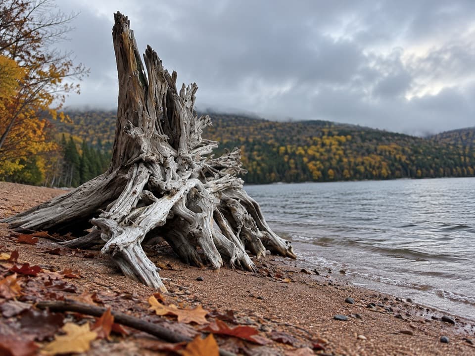 ModerateWarren Lake Trail4.7 km · 1.8 hr · 6.5 km awayA quiet forest loop follows the shore of the park's largest lake.
 ModerateBroad Cove Mountain2.3 km · 1 hr · 6.6 km awayA steep forest climb ends on a bench above the Atlantic.
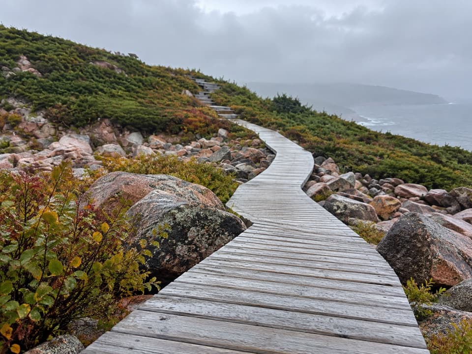 EasyGreen Cove0.2 km · 10 min · 11.2 km awayA short boardwalk leads to a wave-battered granite point.
 Lodging · 0.8 km awayThe Keltic ResortA Middle Head resort with North Bay dining and Atlantic views.
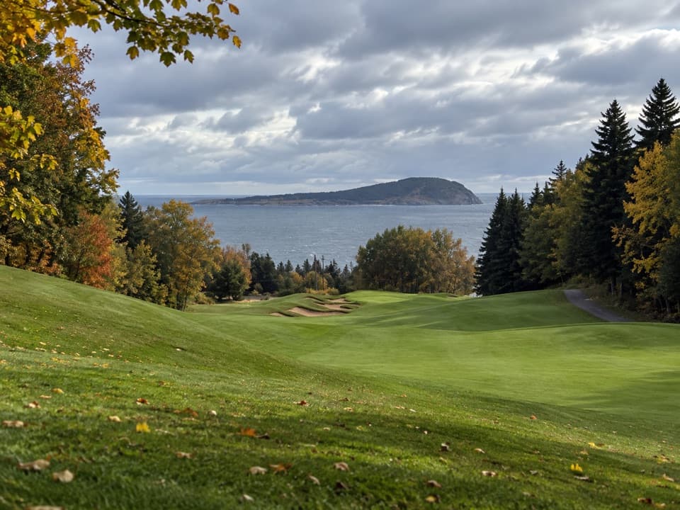 Sight · 1 km awayHighlands LinksA hilly Thompson course with ocean views and Scottish hole names
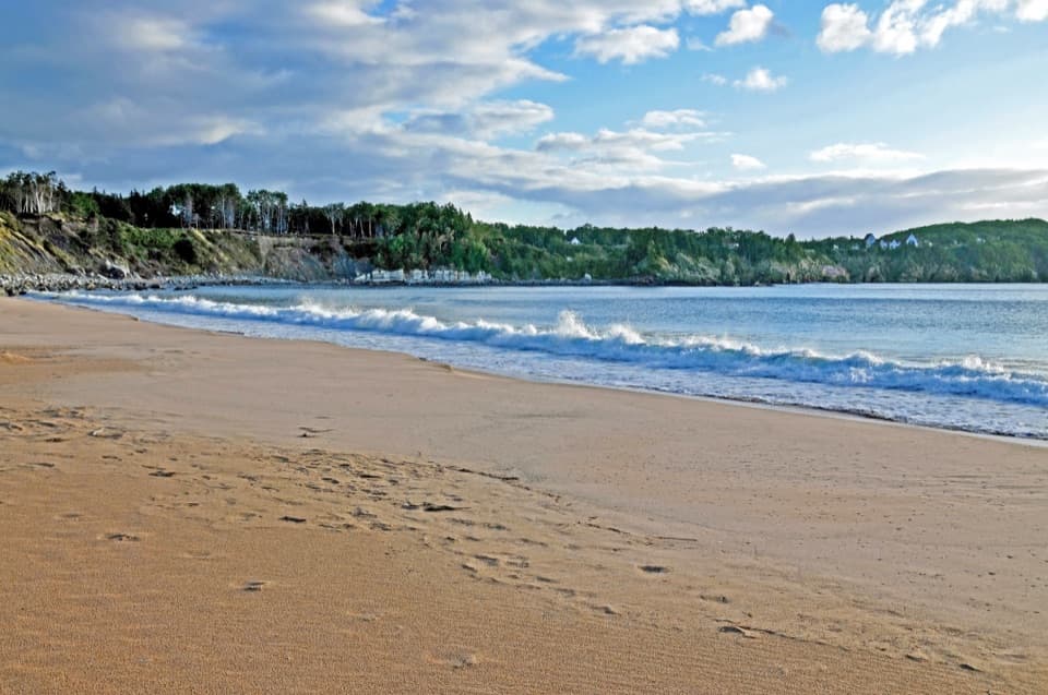 Beach · 1.5 km awayIngonish Beach and Freshwater LakePick ocean or lake swimming, then add a short shoreline loop.
 Campground · 2.2 km awayIngonish Beach CampgroundA campsite with showers and two beach-view oTENTiks.
 Visitor center · 2.5 km awayIngonish Visitor CentreStart here for maps, trail advice, and a park pass.
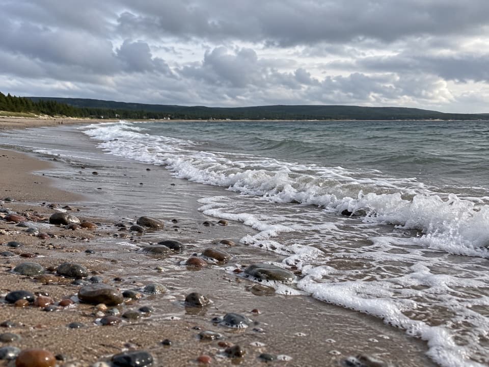 Beach · 2.8 km awayNorth Bay BeachA sandy Atlantic beach with a walk toward the Clyburn estuary.
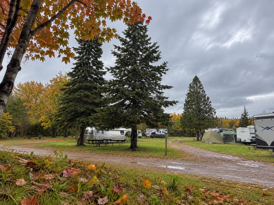 Campground · 6.1 km awayBroad Cove CampgroundA roomy eastern base with a sandy Atlantic cove beside camp.
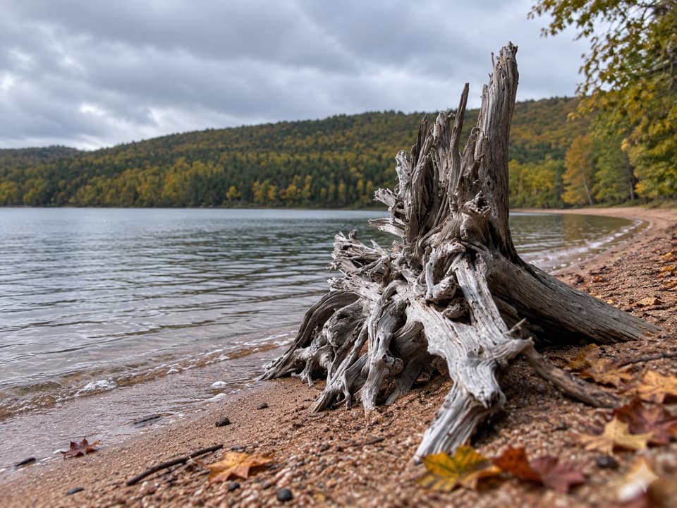 Beach · 6.4 km awayWarren Lake Beach and Picnic AreaA small swim and picnic stop on the park’s largest lake.
Parkwolf’s Cape Breton Highlands ranking
The audio tour guide for the drive, plus offline maps, trails, and wildlife heatmaps for when the signal drops.