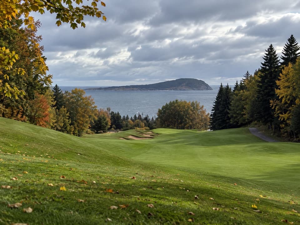
MacIntosh Brook Campground and Day Use Area in Cape Breton Highlands National Park

Campground · Cape Breton Highlands National Park

MacIntosh Brook Campground and Day Use Area

Ten unserviced sites, plus a 1.7 km walk to a waterfall.

Type
Campground
Nearest trail
Right here
Audio stories
3 nearby
  • Restrooms
  • Trailhead
  • Picnic tables

Hear the audio tour

MacIntosh Brook Falls and Day Use Area

Overview

About MacIntosh Brook Campground and Day Use Area

Why stop

  • An easy brookside walk reaches a waterfall.

Heads up

  • Unserviced sites and exposed roots on parts of the trail.

Map

Where it is

Loading the Cape Breton Highlands map
Full map
CampgroundMacIntosh Brook Campground and Day Use Area46.81184, -60.76774
Keep this map with you offline in the Parkwolf app

Plan your stop

Before you go

6 active Cape Breton Highlands alerts

  • CautionPedestrian prohibition on Cabot Trail near French LakeMentions Cabot Trail, referenced in this guidePedestrian use is prohibited at all times on the Cabot Trail between 19713 Cabot Trail (French Lake Look-Off) and 18865 Cabot Trail (Veteran’s Monument Look-Off) through October 25, 2026.Official details
  • ClosureCoyote-related area closuresMacIntosh Brook Campground and Trail, Lone Shieling, three Cabot Trail properties, and nearby pull-offs are closed because coyotes have approached people aggressively.Official details
See all 6 alerts
A park ranger sits on a dash-mounted phone, talking, as Parkwolf’s Tour Guide plays “Army Cutworm Moths: A Grizzly Bear Buffet” on Grand Loop Road below Dunraven Pass in Yellowstone
Parkwolf Tour GuideThe highest, rockiest slopes around here are a summer buffet for grizzly bears.

Cape Breton Highlands Tour Guide

Your drive to MacIntosh Brook Campground and Day Use Area, narrated.

Parkwolf is a GPS audio tour guide for Cape Breton Highlands National Park. As you drive, it chimes in with what’s ahead: hidden gems, upcoming stops, history, geology, and wildlife, right through your car’s speakers.

See the Cape Breton Highlands audio tour

Recorded for this place

MacIntosh Brook Falls and Day Use Area
0:00 / 0:27
“Up ahead is MacIntosh Brook's campground and day-use area, a picnic stop with a short waterfall walk.”

Plays as you drive up to MacIntosh Brook Campground and Day Use Area in the Parkwolf Cape Breton Highlands Tour Guide.

More stories near here in the app

  • The Partnership on the Bark
  • Lone Shieling
  • Rusty Anchor Restaurant
  • The Forest's Next Generation
  • 50 audio storiesacross Cape Breton Highlands’s roads, triggered by GPS as you drive
  • Wildlife heatmapsfor Moose, Black Bear, Bald Eagle, and 13 more
  • Works offlinemaps, 27 trails, 38 places, and audio download before you lose signal
  • CarPlay readysimple controls built for the drive
★★★★★
“Fantastic app with many points of information… It’s great to just turn on while you’re driving and it gives you an audio tour of the national Park. We love it!!!!”
JMJamesApp Store review
Download Parkwolf on the App StoreGet Parkwolf on Google Play

4.7 from 8,600+ ratings

Guide

More about MacIntosh Brook Campground and Day Use Area

A campground and picnic stopMacIntosh Brook is a small campground and day-use area in Grande Anse Valley, about 5 km from…

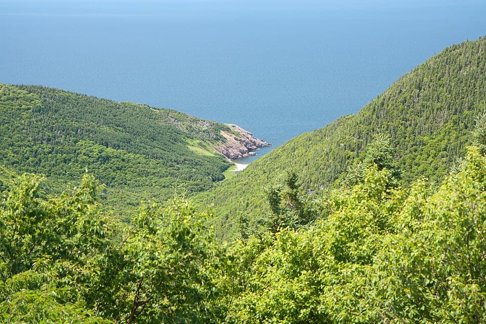
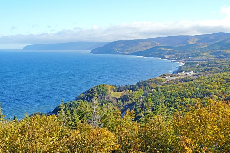
MacIntosh Brook is a small campground and day-use area in Grande Anse Valley, about 5 km from Pleasant Bay on the Cabot Trail. Its 10 unserviced sites sit in an open clearing below the mountains, with a large kitchen shelter, flush toilets and a playground. It’s a useful stop if you want to camp along the Cabot Trail or add an easy waterfall walk. Camping is seasonal and self-registration; potable-water availability isn’t clear, so bring your own or confirm before counting on a fill-up. Firewood for the shelter’s stove isn’t sold here; pick it up at the Chéticamp or Ingonish Visitor Centre before you arrive.

Walk the brook to a waterfallThe MacIntosh Brook Trail starts at the campground and follows a brook through mature Acadian…

The MacIntosh Brook Trail starts at the campground and follows a brook through mature Acadian hardwood forest to a waterfall. The return walk is 1.7 km and takes about 30–45 minutes. It’s an easy outing, though exposed roots make some footing uneven.

Grande Anse’s old-growth forestGrande Anse Valley is one of the Maritimes’ largest old-growth hardwood forests.

Grande Anse Valley is one of the Maritimes’ largest old-growth hardwood forests. Its sugar maples are estimated at about 350 years old. The campground sits in this mountain-foot valley, making the short walk an easy way to spend a little time in that older forest.

Wildlife

Wildlife in Cape Breton Highlands

All Cape Breton Highlands wildlife maps

Sighting maps show where each species has been reported across Cape Breton Highlands. Wildlife moves, so no sighting is guaranteed.

Parkwolf’s Cape Breton Highlands ranking

Top sights in Cape Breton Highlands

All 38 places
  1. 1Beulach Ban FallsSight
  2. 2Ingonish Beach and Freshwater LakeBeach
  3. 3Black Brook BeachBeach
  4. 4Lakie's HeadSight
  5. 5Lone ShielingSight
  6. 6Highlands LinksSight

Take Parkwolf to Cape Breton Highlands.

The audio tour guide for the drive, plus offline maps, trails, and wildlife heatmaps for when the signal drops.

4.7 from 8,600+ ratings

Download Parkwolf on the App StoreGet Parkwolf on Google Play