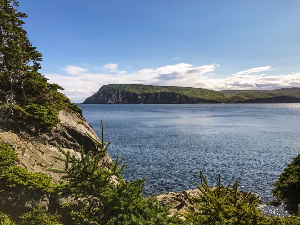
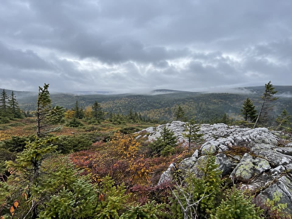
Parking
Start at the signed Fishing Cove trailhead on the Cabot Trail at the top of MacKenzie Mountain. Park in the lot beside the trailhead.
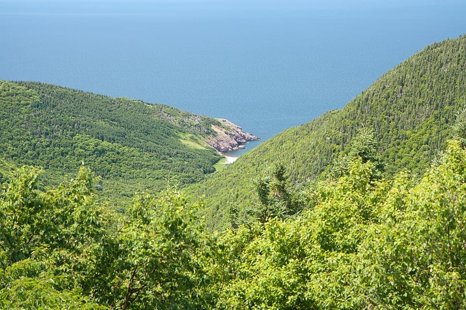
#6 of 27 trails in Cape Breton Highlands
Cape Breton Highlands National Park, NS
A 12 km cove hike with a tough climb back out.
Overview
Map & elevation
Plan your hike

The highest, rockiest slopes around here are a summer buffet for grizzly bears.
Cape Breton Highlands Tour Guide
Parkwolf is a GPS audio tour guide for Cape Breton Highlands National Park. As you drive, it chimes in with what’s ahead: hidden gems, upcoming stops, history, geology, and wildlife, right through your car’s speakers.
See the Cape Breton Highlands audio tourRecorded for this trailhead
Fishing Cove Trail“You're nearing the Fishing Cove trailhead, for a forest hike down to a grassy clearing beside the ocean. Allow five to six hours for the twelve-kilometre return trip, including a steep climb back up the mountain.”
Plays as you drive up to this trailhead in the Parkwolf Cape Breton Highlands Tour Guide.
More stories near here in the app
“Fantastic app with many points of information… It’s great to just turn on while you’re driving and it gives you an audio tour of the national Park. We love it!!!!”


Trail guide
Fishing Cove is a 12 km (7.5 mi) out-and-back from the Cabot Trail to a small Atlantic cove and grassy clearing. The trailhead sits at the top of MacKenzie Mountain, about 355 m above sea level. You drop to the cove, then return by climbing the same corridor; the map follows the one-way corridor once, while the mileage counts the return too. Parks Canada rates it difficult and allows 5-6 hours. I’d set aside a half day and choose this for the full hike, not for a quick beach stop.
The hardest drop comes early. For roughly the first 2 km, the trail descends steeply through switchbacks before the grade eases as you enter forest. At the valley floor it reaches a meandering creek and stays near it through much of the remaining walk, with short rises around obstacles. This stretch is about getting down into the valley; the ocean is hidden behind the forest for most of it. Parks Canada warns about muddy sections, so expect to slow down if the ground is wet.
Near the end, the creek bends away and the trees open into a broad meadow. Tall grass can keep the cove out of sight until the path rises over a small hill; then the water, rocky headlands and pale beach appear at once. Make time to wander the cove and nearby hills before turning back. From the meadow rise, frame the pale beach with the headlands to show how the forested valley opens onto the Atlantic.
The 355 m descent becomes a long climb after you’ve already hiked roughly 6 km. Parks Canada’s 5-6 hour estimate is a sensible plan if you want time at the water; some visitors report finishing faster, but pace varies and the official rating is difficult. The return is the part to plan around: keep enough energy for the uphill, and don’t treat the downhill approach as the full effort. This suits hikers comfortable with a long walk and substantial elevation change.
Fishing Cove was once home to a Scottish fishing community whose settlers traded with the French for supplies. The park’s account gives the cove a human story as well as its forest, creek and headlands, though it does not add dates or named residents. The place is still best approached as a backcountry cove rather than a developed beach stop.
The cove is the park’s only designated wilderness campsite. If you plan to stay overnight, register at a park visitor centre before camping. There is no potable water at the cove, so carry what you’ll need from the trailhead. Dogs can use park trails on leash; park rules restrict pets in some beach areas, so follow posted signs if you head onto the shore.
Wildlife
 180 sightingsMooseMost seen around 5 AMSighting map
 60 sightingsBlack BearMost seen around 6 PMSighting map
 48 sightingsBald EagleMost seen around 8 AMSighting map
 29 sightingsGrey SealMost seen around 7 AMSighting map
 14 sightingsCoyoteMost seen around 8 PMSighting map
 10 sightingsWhite-tailed DeerMost seen around 6 AMSighting map
Sighting maps show where each species has been reported across Cape Breton Highlands. Wildlife moves, so no sighting is guaranteed.
Keep exploring
 EasyBenjie's Lake Trail3.1 km · 1.3 hr · 2.9 km awayA quiet lake and wooden landing cap this level highland walk.
 EasyBog Trail0.5 km · 15 min · 3.4 km awayA short, wheelchair-accessible boardwalk through a highland bog.
 EasySkyline Trail8.2 km · 2.8 hr · 4.5 km awayFrom the boardwalk, the Cabot Trail looks toy-sized.
 EasyMacIntosh Brook Trail1.7 km · 36 min · 6.9 km awayAn easy brookside stroll with a waterfall at the end.
 EasyCorney Brook Trail6.4 km · 2 hr · 8.4 km awayA shaded hardwood canyon follows the brook to a small waterfall.
 EasyLone Shieling Trail0.6 km · 15 min · 9 km awayAn easy 0.4-mile loop through old-growth maple forest to a historic hut.
 EasyLe vieux chemin du Cap-Rouge9 km · 3 hr · 9.7 km awayOld road, Acadian history, and a Gulf look-off at the end.
 EasyLe Buttereau Trail1.6 km · 38 min · 14 km awayA short hill loop through Acadian fields, with Gulf views.Scenic pullout · 2.1 km awayFishing Cove Look-offA quick roadside view 335 metres above Fishing Cove.
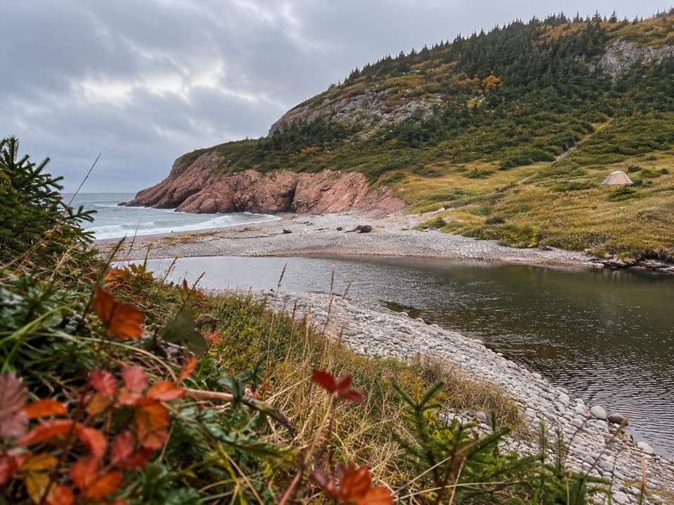 Campground · 4 km awayFishing Cove Backcountry CampgroundEight reservable wilderness sites at the bottom of a steep coastal hike
 Scenic pullout · 5 km awayFrench Lake Look-OffA quick lake-view pause along the Cabot Trail.
 Scenic pullout · 5.1 km awayMacKenzie Mountain Look-off — The Highland PlateauA no-hike look at the plateau and MacKenzie River canyon.
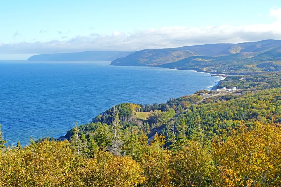 Scenic pullout · 5.1 km awayMacKenzie Mountain Look-off — The Gulf of St. LawrenceA Gulf panorama with its own stop on the Cabot Trail.
 Scenic pullout · 5.4 km awayMacKenzie Mountain Look-off — WhalesA Gulf view and whale exhibit, even without a sighting.
 Restaurant · 6 km awayRusty Anchor RestaurantSeafood, ocean views and a useful Cabot Trail pause
 Campground · 6.9 km awayMacIntosh Brook Campground and Day Use AreaTen unserviced sites, plus a 1.7 km walk to a waterfall.
Parkwolf’s Cape Breton Highlands ranking

The audio tour guide for the drive, plus offline maps, trails, and wildlife heatmaps for when the signal drops.