Parking
Start at the MacIntosh Brook Campground and Day Use Area on the Cabot Trail. Parking capacity, fees and overflow details were not found.

Cape Breton Highlands National Park, NS
An easy brookside stroll with a waterfall at the end.
Overview
Map & elevation
Plan your hike

The highest, rockiest slopes around here are a summer buffet for grizzly bears.
Cape Breton Highlands Tour Guide
Parkwolf is a GPS audio tour guide for Cape Breton Highlands National Park. As you drive, it chimes in with what’s ahead: hidden gems, upcoming stops, history, geology, and wildlife, right through your car’s speakers.
See the Cape Breton Highlands audio tourRecorded for this trailhead
MacIntosh Brook Falls and Day Use Area“Up ahead is MacIntosh Brook's campground and day-use area, a picnic stop with a short waterfall walk.”
Plays as you drive up to this trailhead in the Parkwolf Cape Breton Highlands Tour Guide.
More stories near here in the app
“Fantastic app with many points of information… It’s great to just turn on while you’re driving and it gives you an audio tour of the national Park. We love it!!!!”


Trail guide
MacIntosh Brook Trail is an easy 1.7 km (1.1 mi) out-and-back from the campground and day-use area to the falls, following a brook through mature hardwood forest. Allow 30 to 45 minutes. It’s a good pick when you want a real woodland walk without committing to a long climb; the waterfall gives you a clear turnaround.
The path stays beside MacIntosh Brook for most of the walk. It’s fairly level, but exposed roots make the tread uneven, and small wooden footbridges cross the stream. At the end, the brook drops over rock into the waterfall pool. Take care around the water: the rocks near the falls can be slippery.
This is old-growth Acadian forest, with forest birdsong along the route. The brook crosses granite, older metamorphosed igneous rock, and red sandstone and conglomerate, which helps explain the varied colours among the stones in its bed. Spring melt and storm flows move those stones around, so the brook’s details are part of the payoff as well as the waterfall.
Begin at the MacIntosh Brook Campground and Day Use Area on the Cabot Trail. The trail is short enough to leave time for a slower look at the stream and the bridges; from a bridge, include the rocky brook in the foreground to show the route’s woodland setting.
Wildlife
 180 sightingsMooseMost seen around 5 AMSighting map
 60 sightingsBlack BearMost seen around 6 PMSighting map
 48 sightingsBald EagleMost seen around 8 AMSighting map
 29 sightingsGrey SealMost seen around 7 AMSighting map
 14 sightingsCoyoteMost seen around 8 PMSighting map
 10 sightingsWhite-tailed DeerMost seen around 6 AMSighting map
Sighting maps show where each species has been reported across Cape Breton Highlands. Wildlife moves, so no sighting is guaranteed.
Keep exploring
 EasyLone Shieling Trail0.6 km · 15 min · 2.6 km awayAn easy 0.4-mile loop through old-growth maple forest to a historic hut.
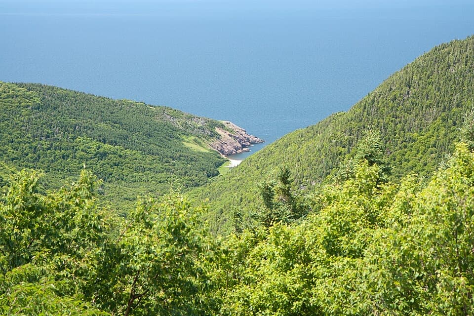 ChallengingFishing Cove12 km · 5.5 hr · 6.9 km awayA 12 km cove hike with a tough climb back out.
 EasyBenjie's Lake Trail3.1 km · 1.3 hr · 8.3 km awayA quiet lake and wooden landing cap this level highland walk.
 EasyBog Trail0.5 km · 15 min · 9 km awayA short, wheelchair-accessible boardwalk through a highland bog.
 ModerateAspy Trail9.7 km · 3.5 hr · 10.8 km awayA 6-mile return hike follows the Aspy Fault through mixed forest.
 EasySkyline Trail8.2 km · 2.8 hr · 11.5 km awayFrom the boardwalk, the Cabot Trail looks toy-sized.
 EasyCorney Brook Trail6.4 km · 2 hr · 15.3 km awayA shaded hardwood canyon follows the brook to a small waterfall.
 EasyLe vieux chemin du Cap-Rouge9 km · 3 hr · 16.6 km awayOld road, Acadian history, and a Gulf look-off at the end.
 Campground · At the trailheadMacIntosh Brook Campground and Day Use AreaTen unserviced sites, plus a 1.7 km walk to a waterfall.
 Sight · 0.8 km awayMacIntosh Brook FallsA short brookside walk ends at a 10 m forest waterfall.Sight · 2.8 km awayLone ShielingA little hut with a surprisingly big Cape Breton story.
 Restaurant · 4.2 km awayRusty Anchor RestaurantSeafood, ocean views and a useful Cabot Trail pause
 Scenic pullout · 4.9 km awayMacKenzie Mountain Look-off — WhalesA Gulf view and whale exhibit, even without a sighting.
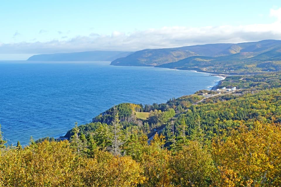 Scenic pullout · 5.1 km awayMacKenzie Mountain Look-off — The Gulf of St. LawrenceA Gulf panorama with its own stop on the Cabot Trail.
 Scenic pullout · 5.5 km awayMacKenzie Mountain Look-off — The Highland PlateauA no-hike look at the plateau and MacKenzie River canyon.Scenic pullout · 6.6 km awayFishing Cove Look-offA quick roadside view 335 metres above Fishing Cove.
Parkwolf’s Cape Breton Highlands ranking

The audio tour guide for the drive, plus offline maps, trails, and wildlife heatmaps for when the signal drops.