Province Lands Visitor Center in Cape Cod National Seashore

Visitor center · Cape Cod National Seashore

Province Lands Visitor Center

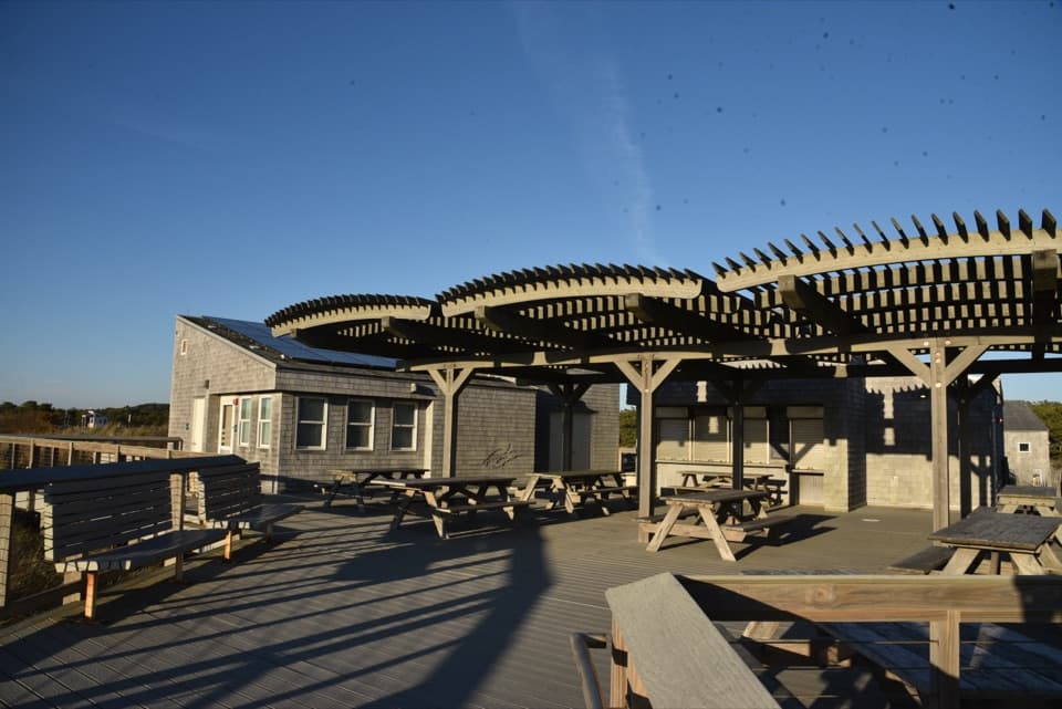
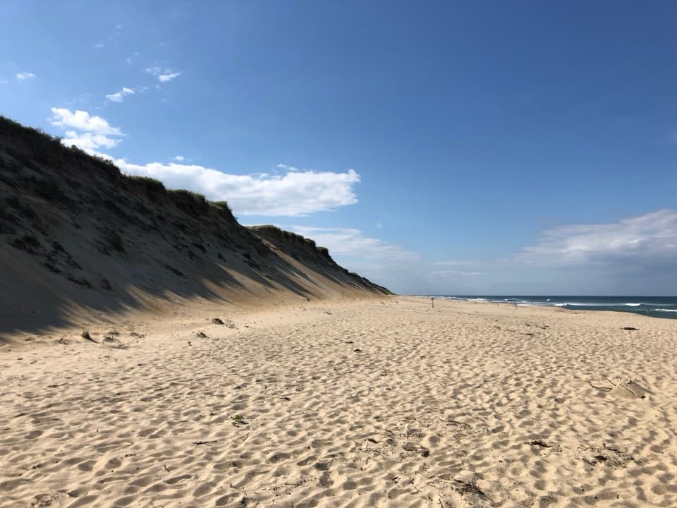
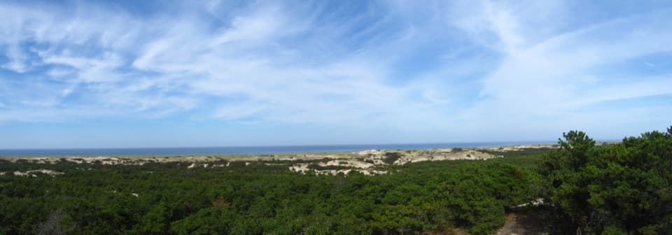
A 360-degree view makes the northern dunes click into place.

Photo: Wikimedia Commons
Type
Visitor center
Nearest trail
0.8 mi
Audio stories
6 nearby
  • Exhibit
  • Scenic viewpoint
  • Parking
  • Restrooms

Hear the audio tour

Province Lands Visitor Center

Overview

About Province Lands Visitor Center

Why stop

  • A wide view links the dunes, ocean and Provincetown landmarks.
  • Rangers, maps and exhibits help orient you before exploring the north end.

Heads up

  • The indoor exhibits and ranger help are seasonal.

Map

Where it is

Loading the Cape Cod map
Full map
Visitor centerProvince Lands Visitor Center42.07404, -70.20528
Keep this map with you offline in the Parkwolf app

Plan your stop

Before you go

Best time to go

The building is usually open from mid-May through mid-October. Check the current schedule if you want the exhibits or ranger desk; the decks remain open year-round when weather allows, and the restrooms are available year-round too. There’s a park store, a bottle-filling station and a picnic table, but no food service is listed for the center, so plan meals separately. The upper deck is reached by stairs; a main-level deck offers another view, and the park lists the center as wheelchair accessible.

3 active Cape Cod alerts

  • CautionSharks active in park waters through OctoberSharks are active in Cape Cod National Seashore waters through October; heed all beach guidelines and signage before entering the water. Check current park conditions before entering the water.Official details
  • CautionHarmful algal bloom advisories at Snows and Slough PondsDo not swim in or swallow water at Snows Pond or Slough Pond; the Town of Truro currently lists harmful algal bloom advisories at both ponds.Official details
See all 3 alerts
A park ranger sits on a dash-mounted phone, talking, as Parkwolf’s Tour Guide plays “Army Cutworm Moths: A Grizzly Bear Buffet” on Grand Loop Road below Dunraven Pass in Yellowstone
Parkwolf Tour GuideThe highest, rockiest slopes around here are a summer buffet for grizzly bears.

Cape Cod Tour Guide

Your drive to Province Lands Visitor Center, narrated.

Parkwolf is a GPS audio tour guide for Cape Cod National Seashore. As you drive, it chimes in with what’s ahead: hidden gems, upcoming stops, history, geology, and wildlife, right through your car’s speakers.

See the Cape Cod audio tour

Recorded for this place

Province Lands Visitor Center
0:00 / 0:32
“You're coming toward Province Lands Visitor Center, a good stop for seeing how the dunes fit together. Even with just a few minutes, head to a viewing deck for the sweep from wooded ground to pale sand and ocean.”

Plays as you drive up to Province Lands Visitor Center in the Parkwolf Cape Cod Tour Guide.

More stories near here in the app

  • Race Point Beach and Old Harbor Station
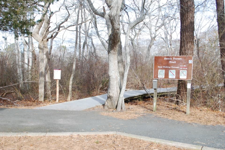
  • Beech Forest
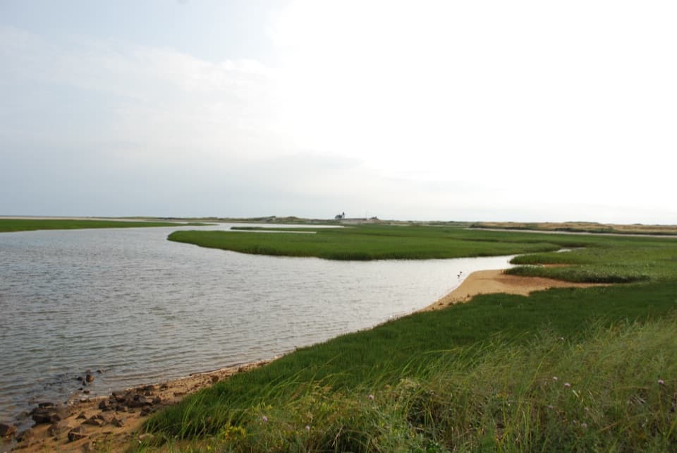
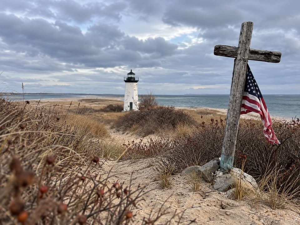
  • Hatches Harbor Trail to Race Point Light
  • Houses That Crossed the Harbor
  • 56 audio storiesacross Cape Cod’s roads, triggered by GPS as you drive
  • Wildlife heatmapsfor Gray Seal, Coyote, Red Fox, and 13 more
  • Works offlinemaps, 32 trails, 55 places, and audio download before you lose signal
  • CarPlay readysimple controls built for the drive
★★★★★
“Fantastic app with many points of information… It’s great to just turn on while you’re driving and it gives you an audio tour of the national Park. We love it!!!!”
JMJamesApp Store review
Download Parkwolf on the App StoreGet Parkwolf on Google Play

4.7 from 8,600+ ratings

Guide

More about Province Lands Visitor Center

Get your bearingsAt Cape Cod’s northern tip in Provincetown, this seasonal visitor center is a compact…

At Cape Cod’s northern tip in Provincetown, this seasonal visitor center is a compact introduction to the Province Lands, with exhibits inside and an outdoor deck facing the dune-and-ocean landscape. I’d stop before Race Point Beach: the maps, ranger advice and displays make the landforms ahead easier to read, and the view is part of the stop even if you only have a few minutes. Inside, look for 3-D models, large-format photographs, artifacts, tactile displays and the park’s orientation film, Standing Bold; other films rotate.

Look out over the dunesThe decks sweep across vegetated dunes, the Outer Beach and Atlantic Ocean.

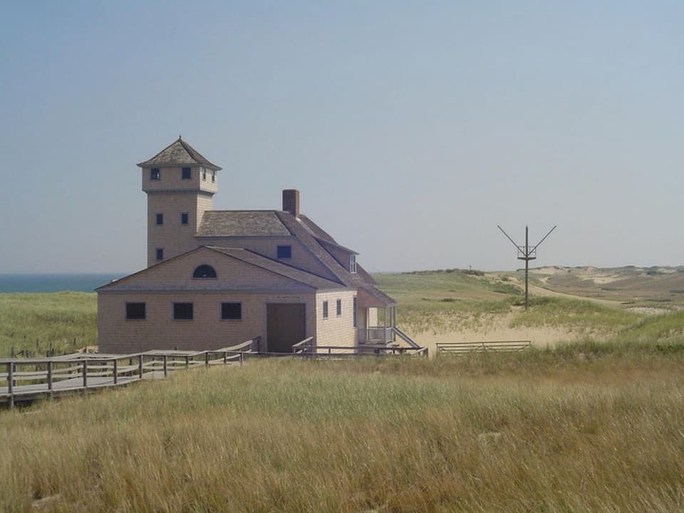
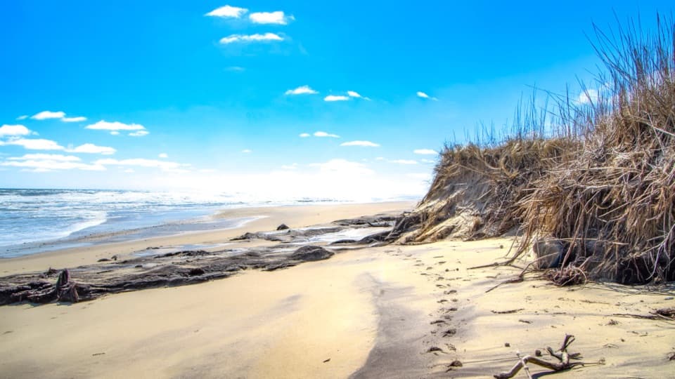
The decks sweep across vegetated dunes, the Outer Beach and Atlantic Ocean. On a clear day, look for Race Point Beach and its ranger station, Old Harbor Life-Saving Station, and Provincetown’s Pilgrim Monument. Whales and seabirds are often spotted offshore, though that’s a lucky extra, not a guarantee. Bring binoculars if you have them. For a photo, keep treetops, pale dune ridges and ocean in the frame so you can see the landscape’s layers.

A landscape built by sandThe Province Lands took shape after glaciers retreated about 18,000 years ago.

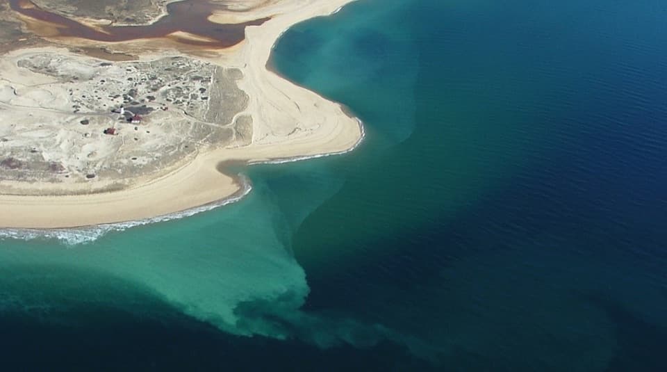
The Province Lands took shape after glaciers retreated about 18,000 years ago. Longshore currents moved outwash sand north to build the spit, then wind carried beach sand inland into dunes. From the deck, the sequence is easy to read: dark, vegetated ground in front, open sand farther out, and the ocean beyond.

From forest to shifting dunesThe land was once mature forest.

The land was once mature forest. European settlers cleared trees for building materials and opened land for farming and grazing; by the mid-1800s, much of the surface had become sparsely vegetated, shifting dunes. The dune landscape is partly a natural coastal system and partly the result of how people used the land.

Plants and wet hollowsAmerican beachgrass, seaside goldenrod, wormwood, northern bayberry and beach plum are among…

American beachgrass, seaside goldenrod, wormwood, northern bayberry and beach plum are among the plants of the dune system. In the low hollows between ridges, groundwater can reach the surface and create seasonal wetlands. Those sheltered pockets make the Province Lands more varied than the broad bands of sand suggest.

Wildlife

Wildlife in Cape Cod

All Cape Cod wildlife maps

Sighting maps show where each species has been reported across Cape Cod. Wildlife moves, so no sighting is guaranteed.

Keep exploring

Near Province Lands Visitor Center

See it all on the map

Trails nearby

More stops nearby

Parkwolf’s Cape Cod ranking

Top sights in Cape Cod

All 55 places
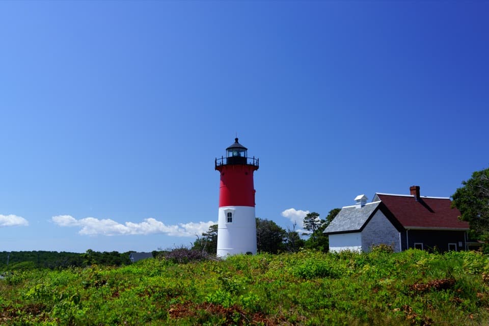
  1. 1Nauset LightSight
  2. 2Coast Guard BeachBeach
  3. 3Race Point BeachBeach
  4. 4Herring Cove BeachBeach
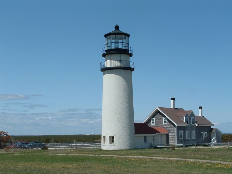
  5. 5Highland LightSight
  6. 6Marconi BeachBeach

Take Parkwolf to Cape Cod.

The audio tour guide for the drive, plus offline maps, trails, and wildlife heatmaps for when the signal drops.

4.7 from 8,600+ ratings

Download Parkwolf on the App StoreGet Parkwolf on Google Play