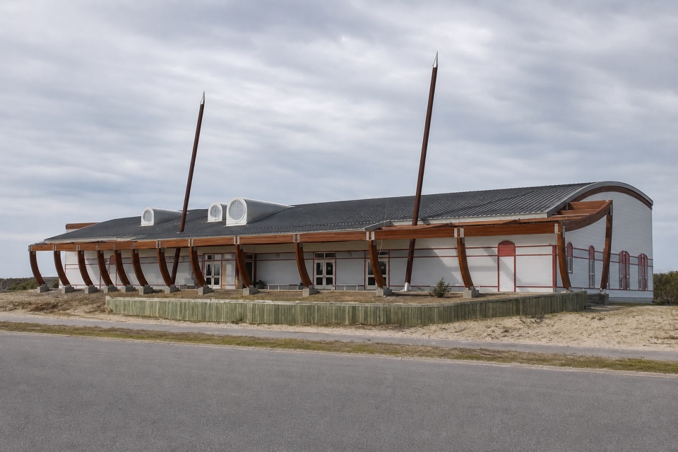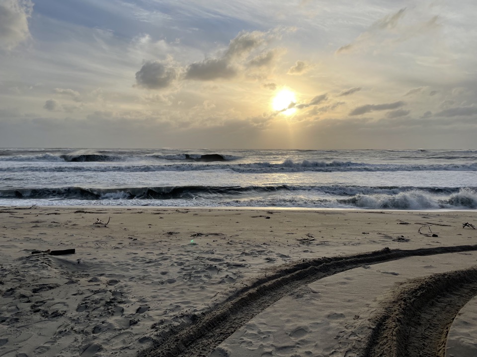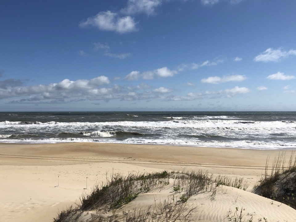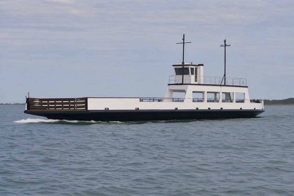
Ocracoke North Ferry Terminal in Cape Hatteras National Seashore

Sight · Cape Hatteras National Seashore

Ocracoke North Ferry Terminal

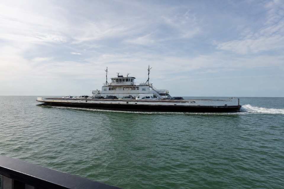
This open-water ferry links Hatteras with Ocracoke's north end.

Type
Sight
Audio stories
2 nearby
  • Restrooms
  • Food

Hear the audio tour

Ocracoke North Ferry Terminal

Overview

About Ocracoke North Ferry Terminal

Why stop

  • Scenic views across Hatteras Inlet during the crossing

Heads up

  • First-come boarding can mean waiting

Map

Where it is

Loading the Cape Hatteras map
Full map
SightOcracoke North Ferry Terminal35.18972, -75.77997
Keep this map with you offline in the Parkwolf app

Plan your stop

Before you go

6 active Cape Hatteras alerts

  • ClosurePartial beach closures in front of Buxton VillageSections of beachfront in front of Buxton Village are temporarily closed. - The closure is due to threatened oceanfront structures and Dare County’s beach nourishment project.Official details
  • ClosurePartial beach closure in northern RodantheThe beach from the northern boundary of Rodanthe to the Rodanthe pier is closed to all access. - The closure is required because multiple threatened oceanfront structures pose risks to public safety.Official details

See all 6 alerts
A park ranger sits on a dash-mounted phone, talking, as Parkwolf’s Tour Guide plays “Army Cutworm Moths: A Grizzly Bear Buffet” on Grand Loop Road below Dunraven Pass in Yellowstone
Parkwolf Tour GuideThe highest, rockiest slopes around here are a summer buffet for grizzly bears.

Cape Hatteras Tour Guide

Your drive to Ocracoke North Ferry Terminal, narrated.

Parkwolf is a GPS audio tour guide for Cape Hatteras National Seashore. As you drive, it chimes in with what’s ahead: hidden gems, upcoming stops, history, geology, and wildlife, right through your car’s speakers.

Recorded for this place

Ocracoke North Ferry Terminal
0:00 / 0:26
“You're approaching the Ocracoke North Ferry Terminal, the island's landing for the Hatteras Inlet crossing. It's separate from the village ferry terminal, about thirteen miles south, which serves other routes.”

Plays as you drive up to Ocracoke North Ferry Terminal in the Parkwolf Cape Hatteras Tour Guide.

More stories near here in the app

  • The Storm That Opened Hatteras Inlet
  • What Up the Beach Means Here
  • Give the Stars Twenty Minutes
  • Graveyard of the Atlantic Museum and Hatteras Ferry
  • 67 audio storiesacross Cape Hatteras’s roads, triggered by GPS as you drive
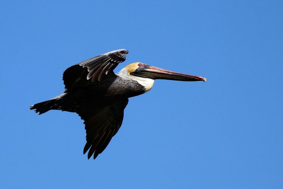
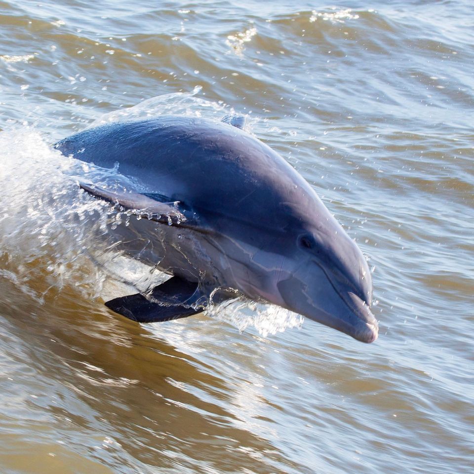
  • Wildlife heatmapsfor Brown Pelican, Tamanend's Bottlenose Dolphin, Bald Eagle, and 13 more
  • Works offlinemaps, 11 trails, 35 places, and audio download before you lose signal
  • CarPlay readysimple controls built for the drive
★★★★★
“Fantastic app with many points of information… It’s great to just turn on while you’re driving and it gives you an audio tour of the national Park. We love it!!!!”
JMJamesApp Store review
Download Parkwolf on the App StoreGet Parkwolf on Google Play

4.7 from 8,600+ ratings

Guide

More about Ocracoke North Ferry Terminal

The north end of OcracokeThis is the north-end vehicle ferry landing on Ocracoke Island, where NC-12 meets the…

This is the north-end vehicle ferry landing on Ocracoke Island, where NC-12 meets the Hatteras-Ocracoke crossing. It links Hatteras Village with the northeastern end of Ocracoke across Hatteras Inlet. If you're driving between the islands, this is the crossing to use; the ferry terminal in Ocracoke Village, about 13 miles south, serves different routes.

Leave time for the ferryVehicles line up in marked lanes and board first come, first served.

Vehicles line up in marked lanes and board first come, first served. Reservations aren't accepted. The trip across takes roughly an hour, so count it as a real leg of the drive, not a quick hop. The inlet ride is scenic, but boarding order and waits can vary, especially when demand is high.

At the terminalVending machines and restrooms are available at this north-end terminal.

Vending machines and restrooms are available at this north-end terminal. It sits at the end of NC-12, with Ocracoke Village still about 13 miles south. Check current sailings and conditions before setting out; departure times and service can change with the season and route conditions.

Wildlife

Wildlife in Cape Hatteras

All Cape Hatteras wildlife maps

Sighting maps show where each species has been reported across Cape Hatteras. Wildlife moves, so no sighting is guaranteed.

Parkwolf’s Cape Hatteras ranking

Top sights in Cape Hatteras

All 35 places
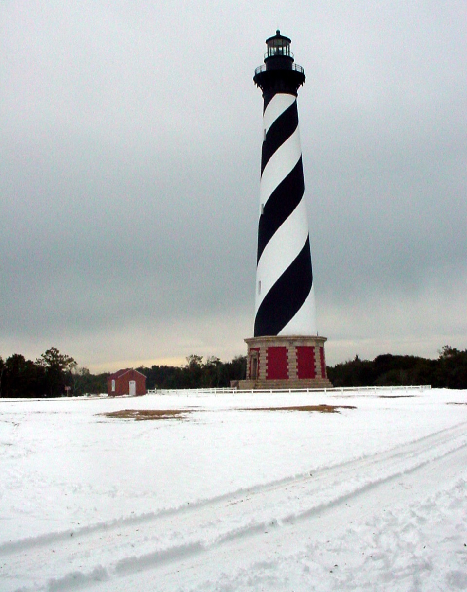
  1. 1Cape Hatteras LighthouseSight
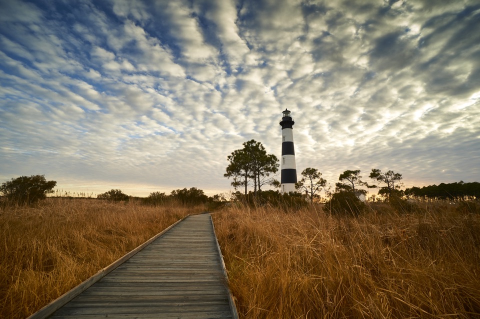
  2. 2Bodie Island LighthouseSight
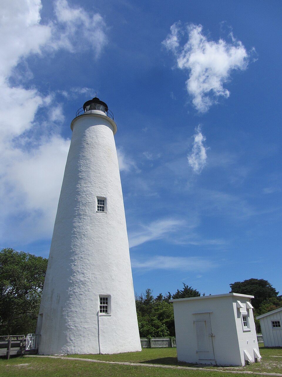
  3. 3Ocracoke LighthouseSight
  4. 4Cape PointBeach
  5. 5Coquina BeachBeach
  6. 6Bonner Bridge PierSight

Take Parkwolf to Cape Hatteras.

The audio tour guide for the drive, plus offline maps, trails, and wildlife heatmaps for when the signal drops.

4.7 from 8,600+ ratings

Download Parkwolf on the App StoreGet Parkwolf on Google Play