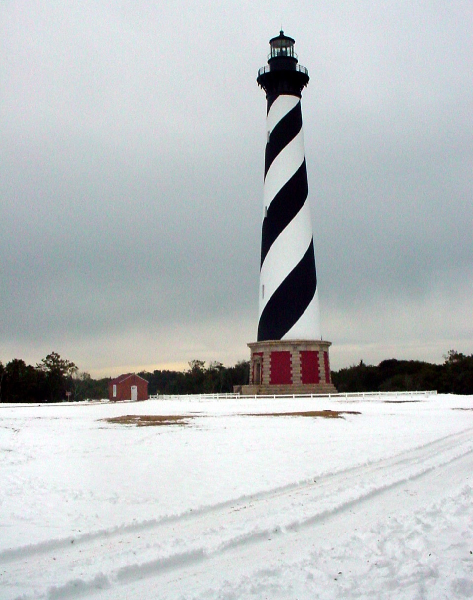
Cape Hatteras Lighthouse in Cape Hatteras National Seashore

#1 of 26 sights in Cape Hatteras

Sight · Cape Hatteras National Seashore

Cape Hatteras Lighthouse

A black-and-white beacon for the Graveyard of the Atlantic.

Photo: Public Domain
Type
Sight
Nearest trail
0.2 mi
Audio stories
7 nearby
  • Visitor center
  • Exhibit
  • Parking
  • Store

Hear the audio tour

Cape Hatteras Lighthouse Grounds

Overview

About Cape Hatteras Lighthouse

Why stop

  • The black-and-white daymark is unmistakable.
  • The Museum of the Sea adds local context beside the tower.

Map

Where it is

Loading the Cape Hatteras map
Full map
SightCape Hatteras Lighthouse35.25054, -75.52882
Keep this map with you offline in the Parkwolf app

Plan your stop

Before you go

6 active Cape Hatteras alerts

  • ClosureCape Hatteras Lighthouse climb unavailable in 2026Mentions this placeThe Cape Hatteras Lighthouse is closed for climbing and will not open for climbs in 2026 because of restoration efforts. - Outdoor areas near the lighthouse are open 24/7.Official details
  • ClosurePartial beach closures in front of Buxton VillageSections of beachfront in front of Buxton Village are temporarily closed. - The closure is due to threatened oceanfront structures and Dare County’s beach nourishment project.Official details
See all 6 alerts
A park ranger sits on a dash-mounted phone, talking, as Parkwolf’s Tour Guide plays “Army Cutworm Moths: A Grizzly Bear Buffet” on Grand Loop Road below Dunraven Pass in Yellowstone
Parkwolf Tour GuideThe highest, rockiest slopes around here are a summer buffet for grizzly bears.

Cape Hatteras Tour Guide

Your drive to Cape Hatteras Lighthouse, narrated.

Parkwolf is a GPS audio tour guide for Cape Hatteras National Seashore. As you drive, it chimes in with what’s ahead: hidden gems, upcoming stops, history, geology, and wildlife, right through your car’s speakers.

Recorded for this place

Cape Hatteras Lighthouse Grounds
0:00 / 0:33
“You're approaching the Cape Hatteras Lighthouse grounds, where the black-and-white spiral tower stands beside the old keepers' buildings. This is a stop I'd keep even if you only walk the grounds.”

Plays as you drive up to Cape Hatteras Lighthouse in the Parkwolf Cape Hatteras Tour Guide.

More stories near here in the app

  • Buxton British Cemetery and Open Ponds Trail
  • Old Lighthouse Beach and the Former Tower Site
  • Orange Blossom Bakery and the Apple Ugly
  • Cape Point
  • 67 audio storiesacross Cape Hatteras’s roads, triggered by GPS as you drive
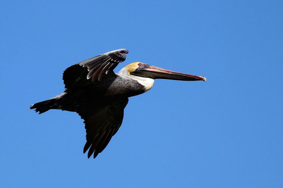
  • Wildlife heatmapsfor Brown Pelican, Tamanend's Bottlenose Dolphin, Bald Eagle, and 13 more
  • Works offlinemaps, 11 trails, 35 places, and audio download before you lose signal
  • CarPlay readysimple controls built for the drive
★★★★★
“Fantastic app with many points of information… It’s great to just turn on while you’re driving and it gives you an audio tour of the national Park. We love it!!!!”
JMJamesApp Store review
Download Parkwolf on the App StoreGet Parkwolf on Google Play

4.7 from 8,600+ ratings

Guide

More about Cape Hatteras Lighthouse

The striped landmarkCape Hatteras Lighthouse is a 198-foot brick tower in Buxton, near the middle of Cape Hatteras…

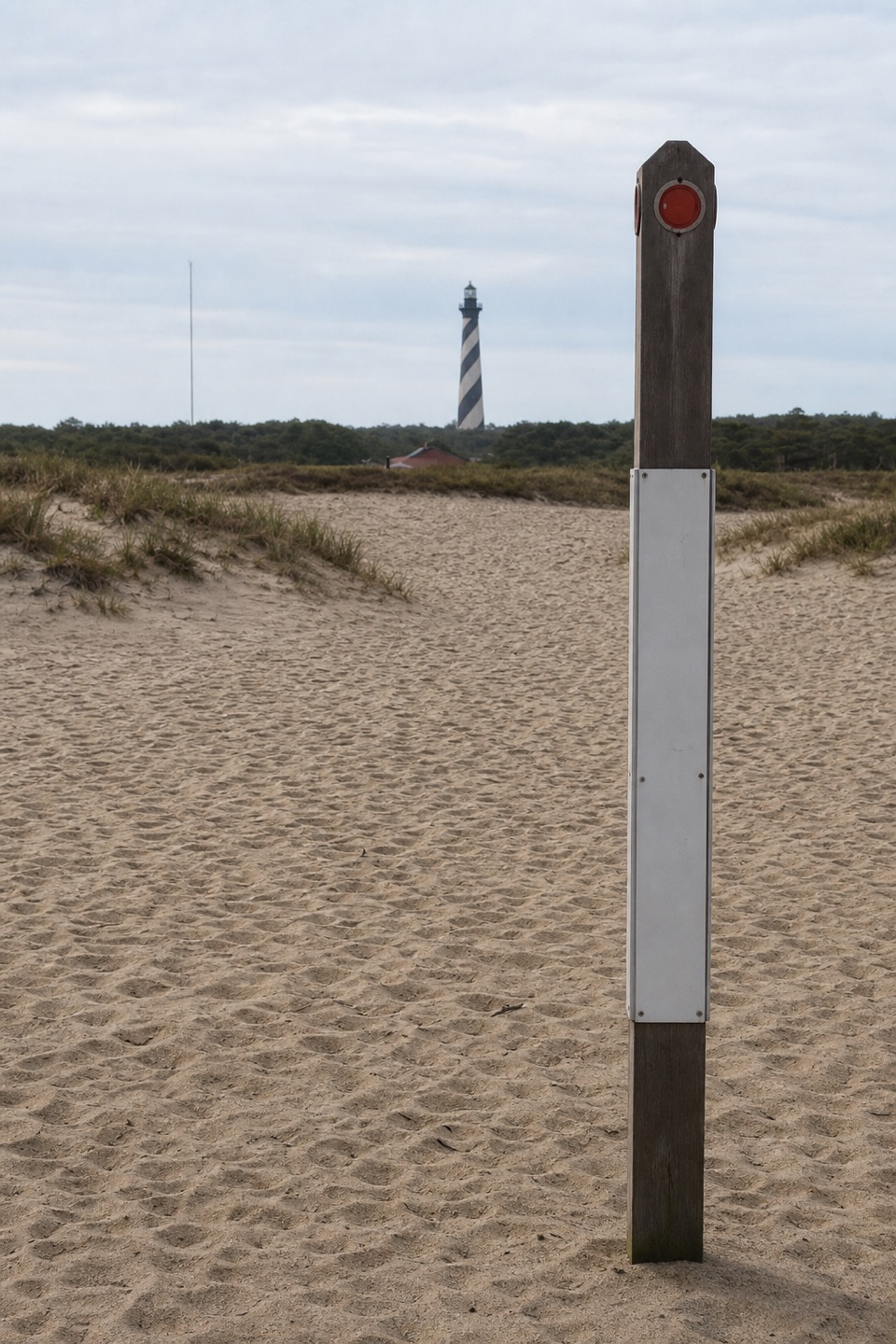
Cape Hatteras Lighthouse is a 198-foot brick tower in Buxton, near the middle of Cape Hatteras National Seashore. Its black-and-white spiral daymark is the Outer Banks image many people come looking for, but the setting explains why it was built: Diamond Shoals, a long sandbar offshore, lies where strong ocean currents meet. The lighthouse warned ships away from that dangerous stretch, part of the coast long known as the Graveyard of the Atlantic. Keep this stop on your list even if you only have time to walk the grounds and look up.

Built to be seenThe current tower was lit in 1870, replacing an earlier 90-foot sandstone lighthouse that was…

The current tower was lit in 1870, replacing an earlier 90-foot sandstone lighthouse that was too short to help ships find the shoals and blended into the shore behind it. The new tower’s conical brick shaft rises from an octagonal brick-and-granite base. Its black-and-white daymark arrived in 1873, making the tower easier for mariners to recognize by day. The National Park Service calls it the tallest brick lighthouse in the country; its pinnacle stands about 198 feet above the foundation. There are 269 steps from the ground to the lens room.

The lighthouse’s history is also a story about a moving shoreline. Erosion threatened the tower close to the sea, so in 1999 crews moved the lighthouse and its surrounding light-station buildings 2,900 feet inland in 23 days. It now stands about 1,500 feet from the shore. The job saved the tower while keeping the historic group together, including the keepers’ homes, cisterns and oil house.

Walk the light stationThis is a small historic district around a landmark, not just a tower standing alone.

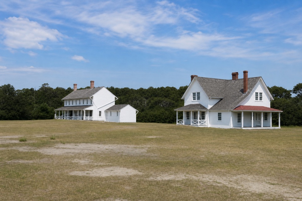
This is a small historic district around a landmark, not just a tower standing alone. The Double Keepers’ Quarters hold the two-floor Museum of the Sea, with exhibits on Outer Banks history and natural history. A small audiovisual room has video presentations on request. The Park Store is between the museum and lighthouse, so both fit naturally into a single walk around the grounds.

For a photo, step back enough to keep the whole tower in frame and include one of the nearby keepers’ buildings for scale. The black-and-white pattern is the feature to preserve in the shot; close crops lose the reason this lighthouse is so recognizable.

Fitting it inThe light station is at 46379 Lighthouse Road in Buxton, just off NC-12.

The light station is at 46379 Lighthouse Road in Buxton, just off NC-12. Parking serves cars, boat trailers and buses or RVs, and the National Seashore has no entrance fee. The Museum of the Sea adds the most indoor time, but its hours can be intermittent from mid-October through mid-April as staffing allows, so check before making the museum your main reason to stop. The lighthouse grounds, museum and store are close together, making this an easy place to combine a look at the tower with a short history stop.

Wildlife

Wildlife in Cape Hatteras

All Cape Hatteras wildlife maps

Sighting maps show where each species has been reported across Cape Hatteras. Wildlife moves, so no sighting is guaranteed.

Keep exploring

Near Cape Hatteras Lighthouse

See it all on the map

Trails nearby

More stops nearby

Parkwolf’s Cape Hatteras ranking

Top sights in Cape Hatteras

All 35 places
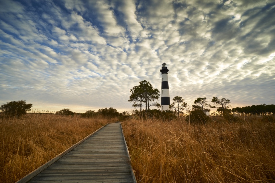
  1. 2Bodie Island LighthouseSight
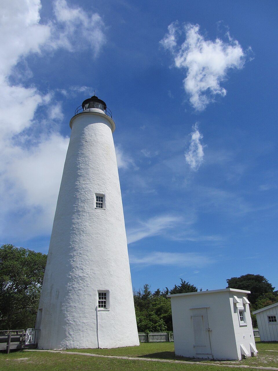
  2. 3Ocracoke LighthouseSight
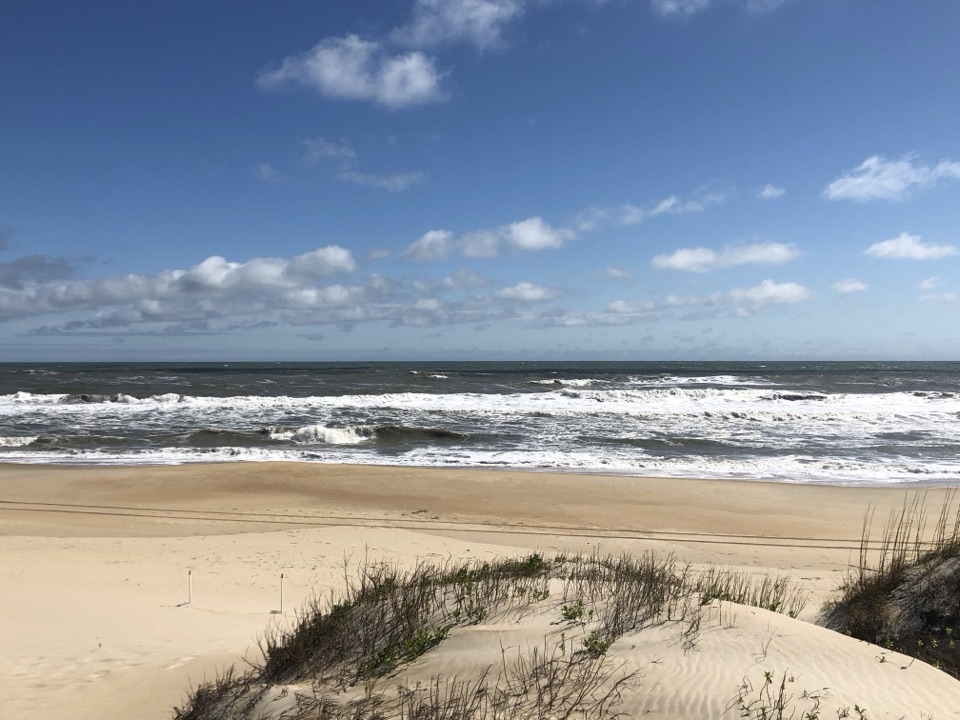
  3. 4Cape PointBeach
  4. 5Coquina BeachBeach
  5. 6Bonner Bridge PierSight
  6. 7Ocracoke BeachBeach

Take Parkwolf to Cape Hatteras.

The audio tour guide for the drive, plus offline maps, trails, and wildlife heatmaps for when the signal drops.

4.7 from 8,600+ ratings

Download Parkwolf on the App StoreGet Parkwolf on Google Play