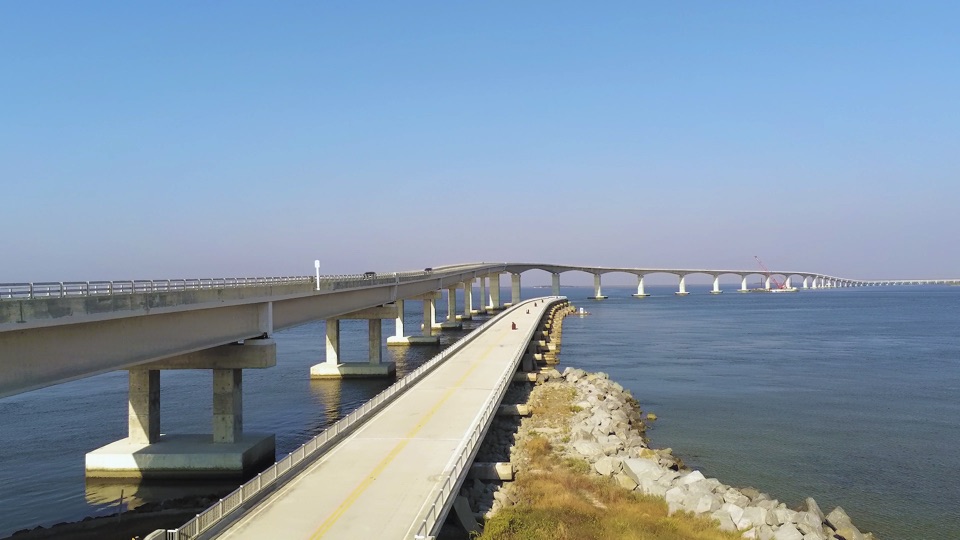
Bonner Bridge Pier in Cape Hatteras National Seashore

#6 of 26 sights in Cape Hatteras

Sight · Cape Hatteras National Seashore

Bonner Bridge Pier

A 1,046-foot remnant reaches out into Oregon Inlet.

Photo: Wikimedia Commons
Type
Sight
Nearest trail
4.1 mi
Audio stories
3 nearby
  • Parking
  • Restrooms
  • Scenic viewpoint

Hear the audio tour

Bonner Bridge Pier

Overview

About Bonner Bridge Pier

Why stop

  • Preserved section of the first bridge to Hatteras Island.
  • Long views across a busy inlet and its navigation channel.

Heads up

  • The exposed concrete deck has no shade.
  • Facilities are basic, with no food or drink service.

Map

Where it is

Loading the Cape Hatteras map
Full map
SightBonner Bridge Pier35.76680, -75.52694
Keep this map with you offline in the Parkwolf app

Plan your stop

Before you go

6 active Cape Hatteras alerts

  • ClosurePartial beach closures in front of Buxton VillageSections of beachfront in front of Buxton Village are temporarily closed. - The closure is due to threatened oceanfront structures and Dare County’s beach nourishment project.Official details
  • ClosurePartial beach closure in northern RodantheThe beach from the northern boundary of Rodanthe to the Rodanthe pier is closed to all access. - The closure is required because multiple threatened oceanfront structures pose risks to public safety.Official details
See all 6 alerts
A park ranger sits on a dash-mounted phone, talking, as Parkwolf’s Tour Guide plays “Army Cutworm Moths: A Grizzly Bear Buffet” on Grand Loop Road below Dunraven Pass in Yellowstone
Parkwolf Tour GuideThe highest, rockiest slopes around here are a summer buffet for grizzly bears.

Cape Hatteras Tour Guide

Your drive to Bonner Bridge Pier, narrated.

Parkwolf is a GPS audio tour guide for Cape Hatteras National Seashore. As you drive, it chimes in with what’s ahead: hidden gems, upcoming stops, history, geology, and wildlife, right through your car’s speakers.

Recorded for this place

Bonner Bridge Pier
0:00 / 0:33
“You're approaching Bonner Bridge Pier, a piece of the old highway bridge reaching more than a thousand feet into Oregon Inlet. Before the bridge opened in 1963, vehicles crossed the inlet by ferry.”

Plays as you drive up to Bonner Bridge Pier in the Parkwolf Cape Hatteras Tour Guide.

More stories near here in the app

  • A Bridge Built for a Moving Channel
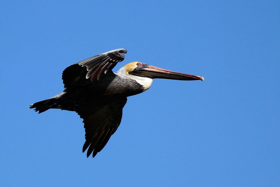
  • Watch a Pelican After the Splash
  • Oregon Inlet Fishing Center
  • Watch the Ponds for Winter Birds
  • 67 audio storiesacross Cape Hatteras’s roads, triggered by GPS as you drive
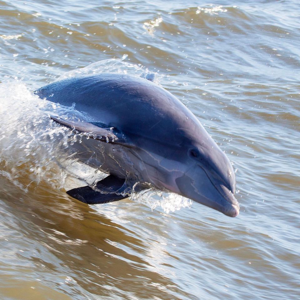
  • Wildlife heatmapsfor Brown Pelican, Tamanend's Bottlenose Dolphin, Bald Eagle, and 13 more
  • Works offlinemaps, 11 trails, 35 places, and audio download before you lose signal
  • CarPlay readysimple controls built for the drive
★★★★★
“Fantastic app with many points of information… It’s great to just turn on while you’re driving and it gives you an audio tour of the national Park. We love it!!!!”
JMJamesApp Store review
Download Parkwolf on the App StoreGet Parkwolf on Google Play

4.7 from 8,600+ ratings

Guide

More about Bonner Bridge Pier

The old bridge, kept for peopleBonner Bridge Pier is a 1,046-foot section of the former Bonner Bridge, retained beside the…

Bonner Bridge Pier is a 1,046-foot section of the former Bonner Bridge, retained beside the south end of the Marc Basnight Bridge at Oregon Inlet. Its concrete deck runs out over the inlet as a pedestrian and recreational-fishing pier. This is a bridge remnant with open water around it, not a beach or an oceanfront boardwalk. The place suits a walk, a look at the channel, or time with a fishing rod; the long reach is the point.

A view into the inletOregon Inlet is a tidal passage between the Atlantic Ocean and Pamlico Sound.

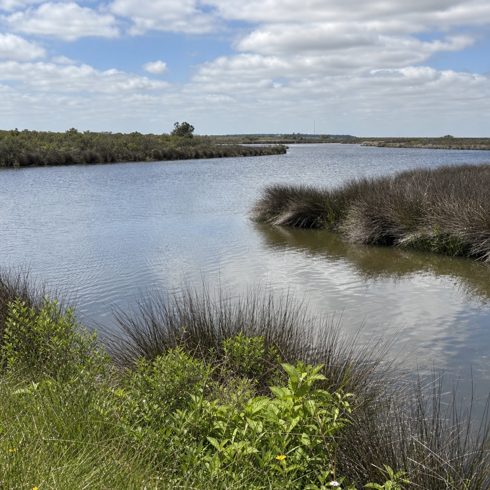
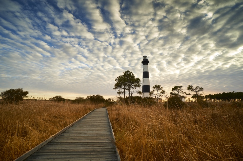
Oregon Inlet is a tidal passage between the Atlantic Ocean and Pamlico Sound. From the pier, the water and the two bridges make the setting clear: this is a working route through the barrier islands, used by recreational and commercial fishing boats. The National Park Service also identifies marine-life watching as one reason to come. On a broad view from the deck, you can look toward Bodie Island Lighthouse and the historic Oregon Inlet Life-Saving Station.

A bridge with a second jobThe Bonner Bridge opened in 1963 and was the first bridge connecting Hatteras Island with the…

The Bonner Bridge opened in 1963 and was the first bridge connecting Hatteras Island with the rest of the Outer Banks. Before it, a vehicle ferry across Oregon Inlet was the only way to reach the island by road. The aging bridge closed to traffic when the Marc Basnight Bridge opened in 2019, but this 1,046-foot section stayed. The Park Service, U.S. Fish and Wildlife Service, and North Carolina Department of Transportation opened it as a public pier in 2021.

The remnant has a practical role as well as a historic one: it helps direct the ocean current toward the center of the inlet channel for navigation. That makes the walk an unusual chance to stand on a piece of retired highway infrastructure that still affects how the water moves. For a photo, use the deck edge or railing to lead into the inlet, and include the newer bridge so the old and new crossings read together. A wide view can take in the water and the distant shoreline landmarks.

Make the stop workThe pier is free and, according to published park information, open 24 hours.

The pier is free and, according to published park information, open 24 hours. There is a parking lot at its entrance and portable toilets nearby; expect basic facilities. There is no pier house selling food, drinks, or fishing supplies, and the concrete walkway has no shade. Bring what you need before heading out, especially if you plan to stay for fishing or wildlife watching.

Fishing requires a North Carolina coastal recreational fishing license, and the park limits anglers to two rods each. Pets, drones, glass containers, bicycles, and several wheeled recreation devices are prohibited. Do not jump from the pier or climb down its pilings. If you're after a sandy beach, a shaded break, or services close at hand, choose another stop; come here for the long walk over the inlet, the bridge story, and the view of boats moving through the channel.

Wildlife

Wildlife in Cape Hatteras

All Cape Hatteras wildlife maps

Sighting maps show where each species has been reported across Cape Hatteras. Wildlife moves, so no sighting is guaranteed.

Parkwolf’s Cape Hatteras ranking

Top sights in Cape Hatteras

All 35 places
  1. 1Cape Hatteras LighthouseSight
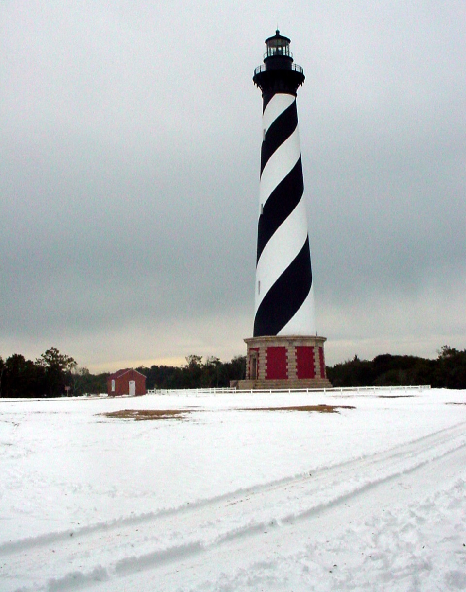
  2. 2Bodie Island LighthouseSight
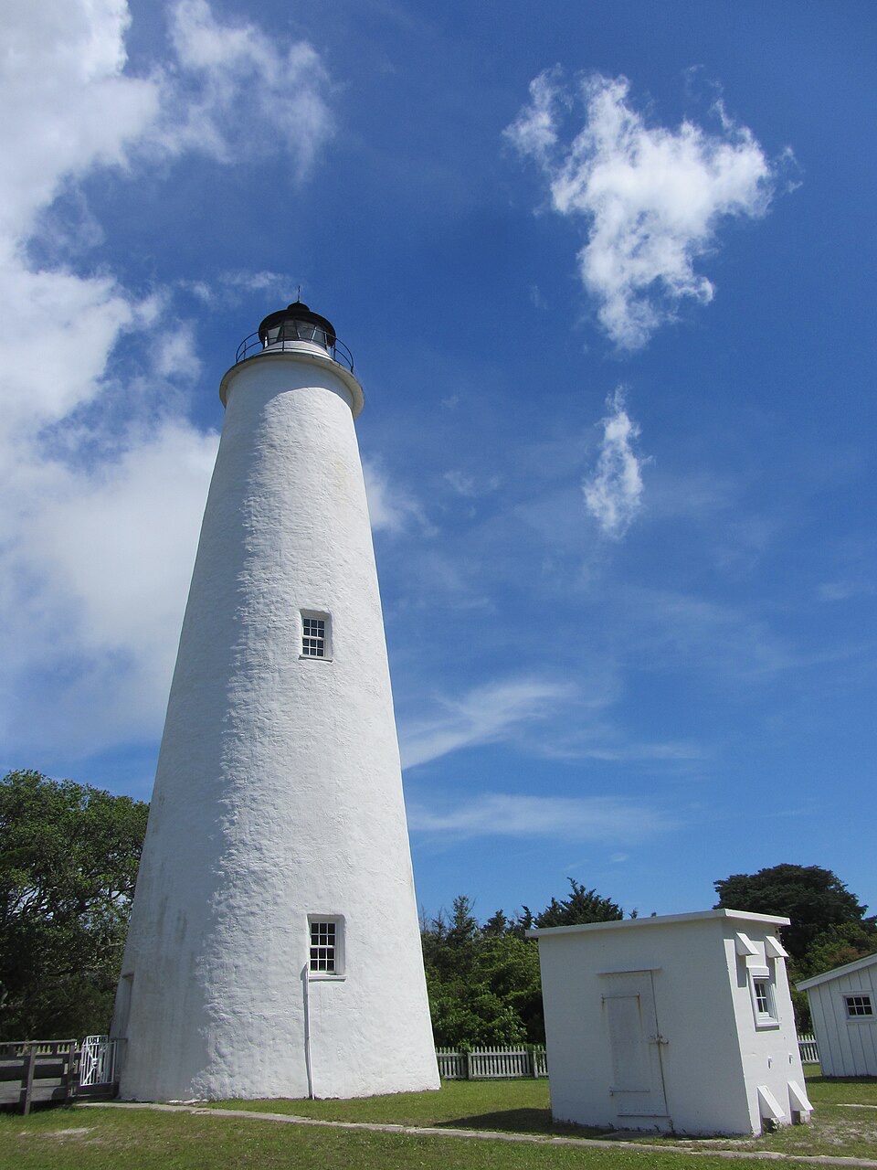
  3. 3Ocracoke LighthouseSight
  4. 4Cape PointBeach
  5. 5Coquina BeachBeach
  6. 7Ocracoke BeachBeach

Take Parkwolf to Cape Hatteras.

The audio tour guide for the drive, plus offline maps, trails, and wildlife heatmaps for when the signal drops.

4.7 from 8,600+ ratings

Download Parkwolf on the App StoreGet Parkwolf on Google Play