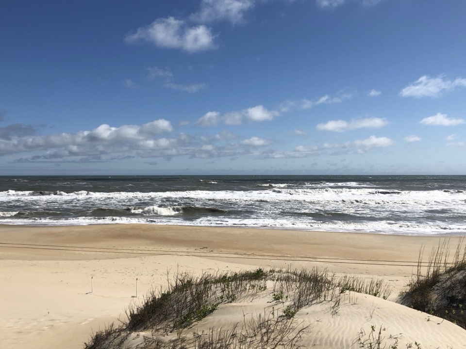
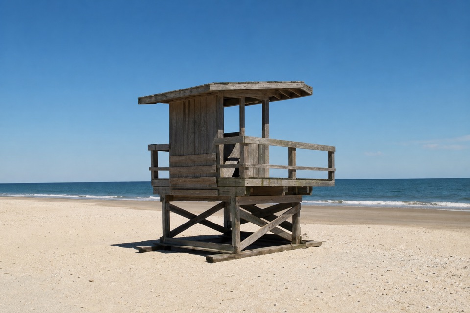
Cape Point in Cape Hatteras National Seashore

#4 of 26 sights in Cape Hatteras

Beach · Cape Hatteras National Seashore

Cape Point

Two shores, shifting sand, and surf fishing at the island's bend.

Photo: Wikimedia Commons
Type
Beach
Nearest trail
1.4 mi
Audio stories
3 nearby

Hear the audio tour

Cape Point

Overview

About Cape Point

Why stop

  • A distinctive bend in the island with surf-fishing grounds.

Heads up

  • A long walk from paved public parking; beach access can shift.

Map

Where it is

Loading the Cape Hatteras map
Full map
BeachCape Point35.22268, -75.52571
Keep this map with you offline in the Parkwolf app

Plan your stop

Before you go

6 active Cape Hatteras alerts

  • ClosurePartial beach closures in front of Buxton VillageSections of beachfront in front of Buxton Village are temporarily closed. - The closure is due to threatened oceanfront structures and Dare County’s beach nourishment project.Official details
  • ClosurePartial beach closure in northern RodantheThe beach from the northern boundary of Rodanthe to the Rodanthe pier is closed to all access. - The closure is required because multiple threatened oceanfront structures pose risks to public safety.Official details
See all 6 alerts
A park ranger sits on a dash-mounted phone, talking, as Parkwolf’s Tour Guide plays “Army Cutworm Moths: A Grizzly Bear Buffet” on Grand Loop Road below Dunraven Pass in Yellowstone
Parkwolf Tour GuideThe highest, rockiest slopes around here are a summer buffet for grizzly bears.

Cape Hatteras Tour Guide

Your drive to Cape Point, narrated.

Parkwolf is a GPS audio tour guide for Cape Hatteras National Seashore. As you drive, it chimes in with what’s ahead: hidden gems, upcoming stops, history, geology, and wildlife, right through your car’s speakers.

Recorded for this place

Cape Point
0:00 / 0:30
“You're approaching the Cape Point area, but the sandy tip is still a beach walk from paved parking.”

Plays as you drive up to Cape Point in the Parkwolf Cape Hatteras Tour Guide.

More stories near here in the app

  • Cape Point Campground
  • Buxton British Cemetery and Open Ponds Trail
  • Old Lighthouse Beach and the Former Tower Site
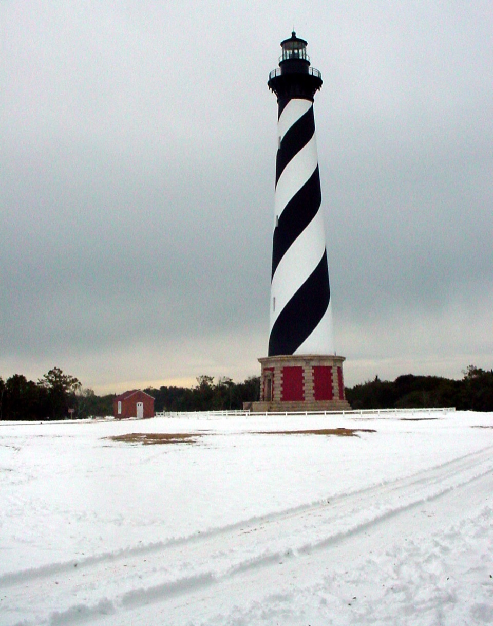
  • Cape Hatteras Lighthouse Grounds
  • 67 audio storiesacross Cape Hatteras’s roads, triggered by GPS as you drive
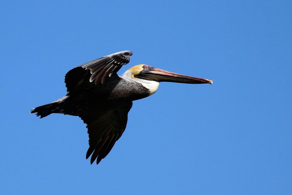
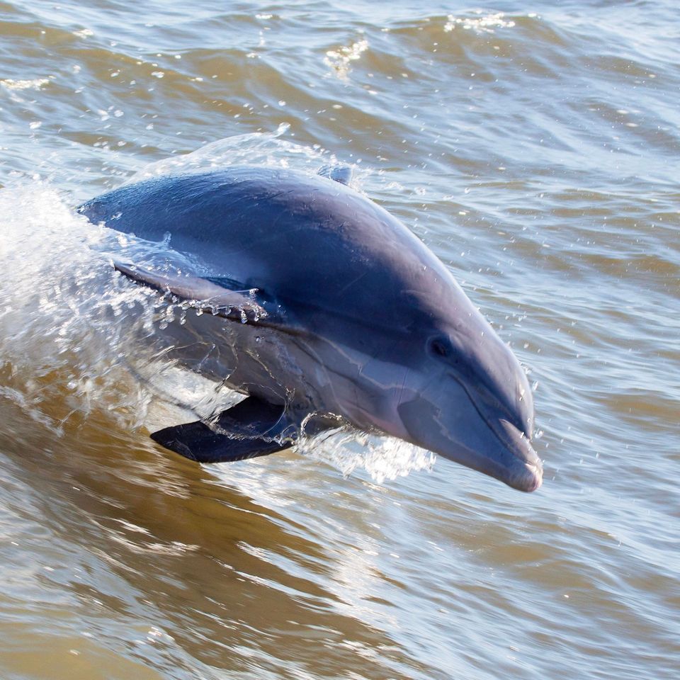
  • Wildlife heatmapsfor Brown Pelican, Tamanend's Bottlenose Dolphin, Bald Eagle, and 13 more
  • Works offlinemaps, 11 trails, 35 places, and audio download before you lose signal
  • CarPlay readysimple controls built for the drive
★★★★★
“Fantastic app with many points of information… It’s great to just turn on while you’re driving and it gives you an audio tour of the national Park. We love it!!!!”
JMJamesApp Store review
Download Parkwolf on the App StoreGet Parkwolf on Google Play

4.7 from 8,600+ ratings

Guide

More about Cape Point

The island's turning pointCape Point is a sandy headland and beach near Buxton, where Hatteras Island bends west and…

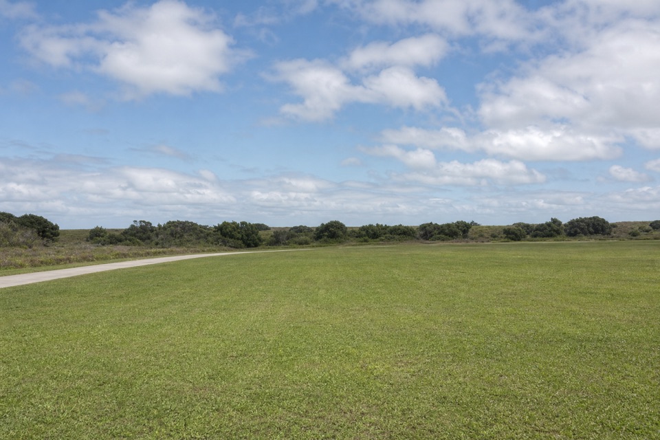
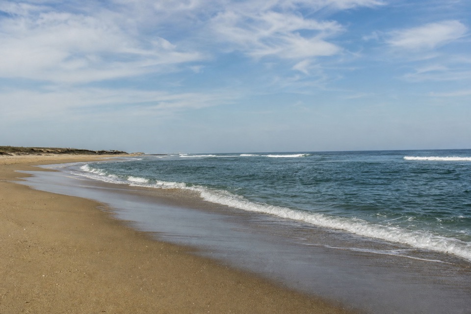
Cape Point is a sandy headland and beach near Buxton, where Hatteras Island bends west and hooks back toward the mainland. That turn gives it north- and south-facing stretches of Atlantic beach. It is a broad, shifting place rather than a lookout with one fixed view: the sand and offshore bars move, and the shape you see changes with them.

Why anglers make the tripCape Point is best known for surf fishing.

Cape Point is best known for surf fishing. Anglers were already making the trip in the 1940s and 1950s, when getting here meant a ferry across Oregon Inlet and rough roads and beaches. The shoals offshore shift, so the fishing ground is never quite the same from one visit to the next. If you fish, this is a destination to spend time reading the water, not a quick photo stop.

Beachcombing is another reason to wander. Whelks, olive shells, sand dollars and the Scotch bonnet have all been reported on the south-facing beach, but they're possible finds, not a promise. The point also gives you room to walk the shoreline and see how the barrier island turns; if fishing or beach time isn't your thing, the payoff may not justify the extra walk.

Getting out to the pointPlan this as a beach walk, not a drive-up viewpoint.

Plan this as a beach walk, not a drive-up viewpoint. Local access guidance puts paved public parking about a mile from the point and estimates roughly an hour round trip along the shoreline. The exact distance and walk can change with the sand and water. The National Park Service describes walk-in access from the Inside Road to a vehicle-free stretch of beach between north of Ramp 48 and Cape Point; that describes the area, not guaranteed access to the shifting tip.

Driving designated beach routes requires an NPS ORV permit, and four-wheel drive is recommended. Routes and shorebird-protection closures change, so check the current beach map and status before you go. Don't assume a permit means a particular stretch is open, or that the route reaches the point itself.

A simple, exposed beach visitThis is a photo-centric stop, but the shape is the reason to take a picture.

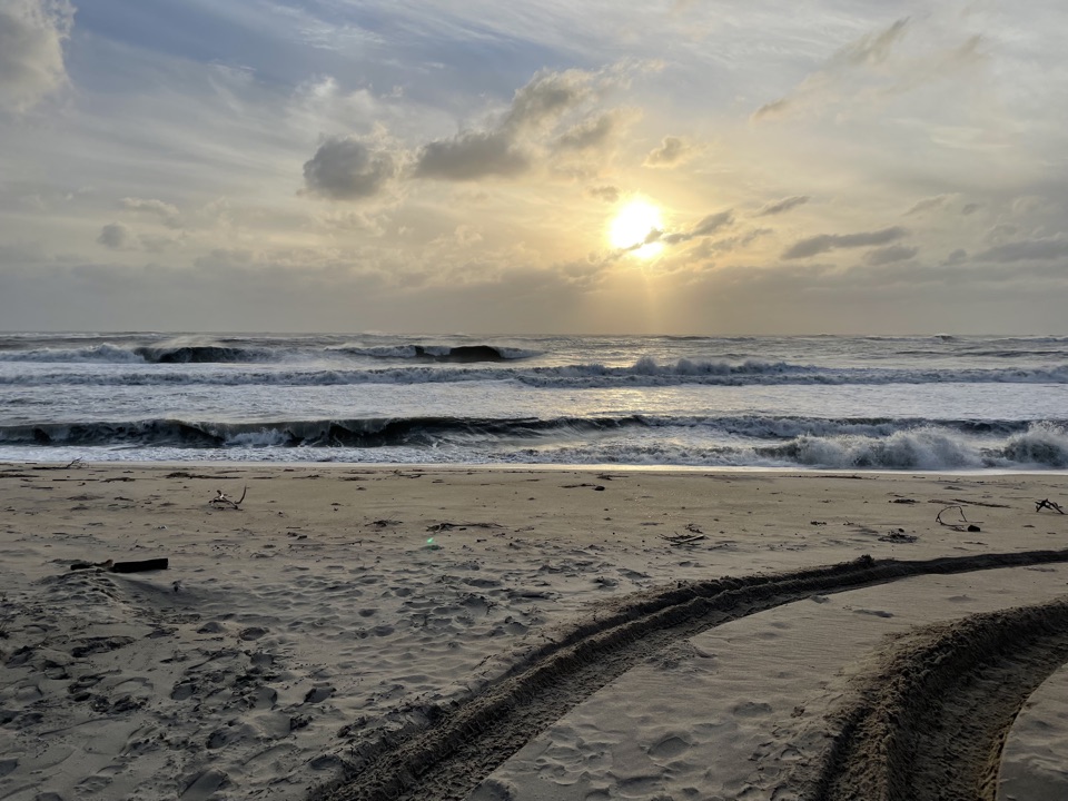
This is a photo-centric stop, but the shape is the reason to take a picture. Follow the curve of the shoreline in your frame so it reads as a point, not just another ocean horizon; low surf and sand in the foreground help show the beach itself. The sunrise over the Atlantic is a natural subject here, though the light and the view depend on the conditions that day.

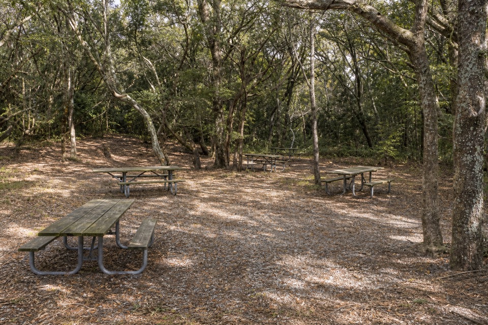
Food service at the point wasn't confirmed. The nearby Cape Point Campground is a separate facility near Lighthouse Road and Ramp 44, not a set of beach amenities: it has 202 sites, no RV hookups, and seasonal potable water, flush toilets and cold showers. Keep those services in mind if you're camping nearby, but don't count on them being at the tip.

Wildlife

Wildlife in Cape Hatteras

All Cape Hatteras wildlife maps

Sighting maps show where each species has been reported across Cape Hatteras. Wildlife moves, so no sighting is guaranteed.

Keep exploring

Near Cape Point

See it all on the map

Trails nearby

More stops nearby

Parkwolf’s Cape Hatteras ranking

Top sights in Cape Hatteras

All 35 places
  1. 1Cape Hatteras LighthouseSight
  2. 2Bodie Island LighthouseSight
  3. 3Ocracoke LighthouseSight
  4. 5Coquina BeachBeach
  5. 6Bonner Bridge PierSight
  6. 7Ocracoke BeachBeach

Take Parkwolf to Cape Hatteras.

The audio tour guide for the drive, plus offline maps, trails, and wildlife heatmaps for when the signal drops.

4.7 from 8,600+ ratings

Download Parkwolf on the App StoreGet Parkwolf on Google Play