Bodie Island Lighthouse in Cape Hatteras National Seashore

#2 of 26 sights in Cape Hatteras

Sight · Cape Hatteras National Seashore

Bodie Island Lighthouse

A striped lighthouse above the marsh, with a climb worth the stairs.

Photo: Public Domain
Type
Sight
Nearest trail
0.1 mi
Audio stories
4 nearby
  • Scenic viewpoint
  • Exhibit

Hear the audio tour

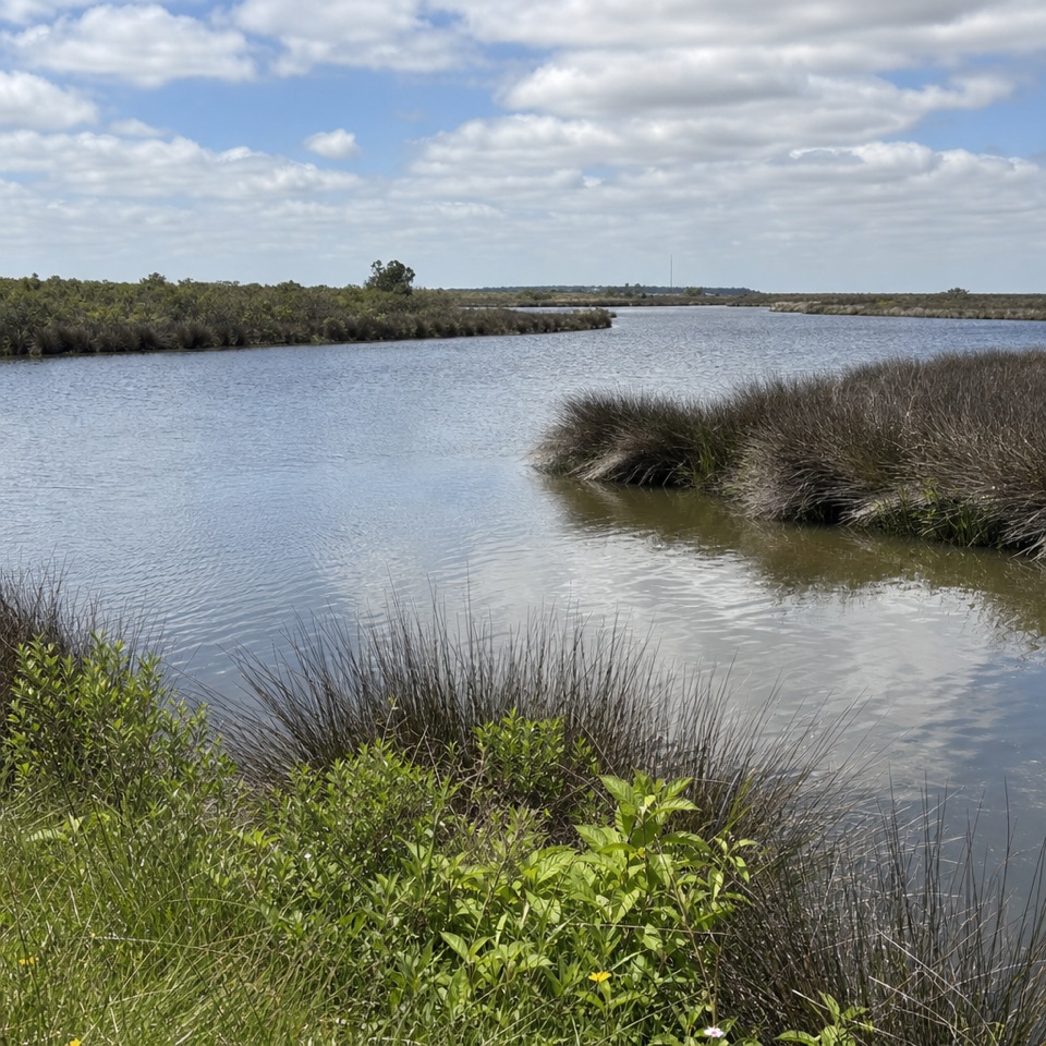
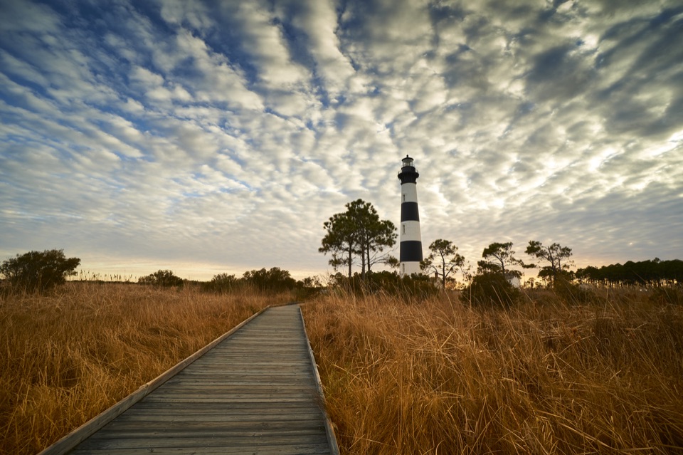
Bodie Island Lighthouse and Marsh

Overview

About Bodie Island Lighthouse

Why stop

  • The marsh boardwalk adds a rewarding ground-level viewpoint

Heads up

  • The narrow 200-plus-step climb has no elevator

Map

Where it is

Loading the Cape Hatteras map
Full map
SightBodie Island Lighthouse35.81856, -75.56331
Keep this map with you offline in the Parkwolf app

Plan your stop

Before you go

6 active Cape Hatteras alerts

  • ClosurePartial beach closures in front of Buxton VillageSections of beachfront in front of Buxton Village are temporarily closed. - The closure is due to threatened oceanfront structures and Dare County’s beach nourishment project.Official details
  • ClosurePartial beach closure in northern RodantheThe beach from the northern boundary of Rodanthe to the Rodanthe pier is closed to all access. - The closure is required because multiple threatened oceanfront structures pose risks to public safety.Official details
See all 6 alerts
A park ranger sits on a dash-mounted phone, talking, as Parkwolf’s Tour Guide plays “Army Cutworm Moths: A Grizzly Bear Buffet” on Grand Loop Road below Dunraven Pass in Yellowstone
Parkwolf Tour GuideThe highest, rockiest slopes around here are a summer buffet for grizzly bears.

Cape Hatteras Tour Guide

Your drive to Bodie Island Lighthouse, narrated.

Parkwolf is a GPS audio tour guide for Cape Hatteras National Seashore. As you drive, it chimes in with what’s ahead: hidden gems, upcoming stops, history, geology, and wildlife, right through your car’s speakers.

Recorded for this place

Bodie Island Lighthouse and Marsh
0:00 / 0:36
“You're approaching Bodie Island Lighthouse, where the striped tower rises above pines and freshwater marsh.”

Plays as you drive up to Bodie Island Lighthouse in the Parkwolf Cape Hatteras Tour Guide.

More stories near here in the app

  • The Lighthouse with a Rhythm
  • Coquina Beach
  • Oregon Inlet Fishing Center
  • The Bubbles in Wet Sand
  • 67 audio storiesacross Cape Hatteras’s roads, triggered by GPS as you drive
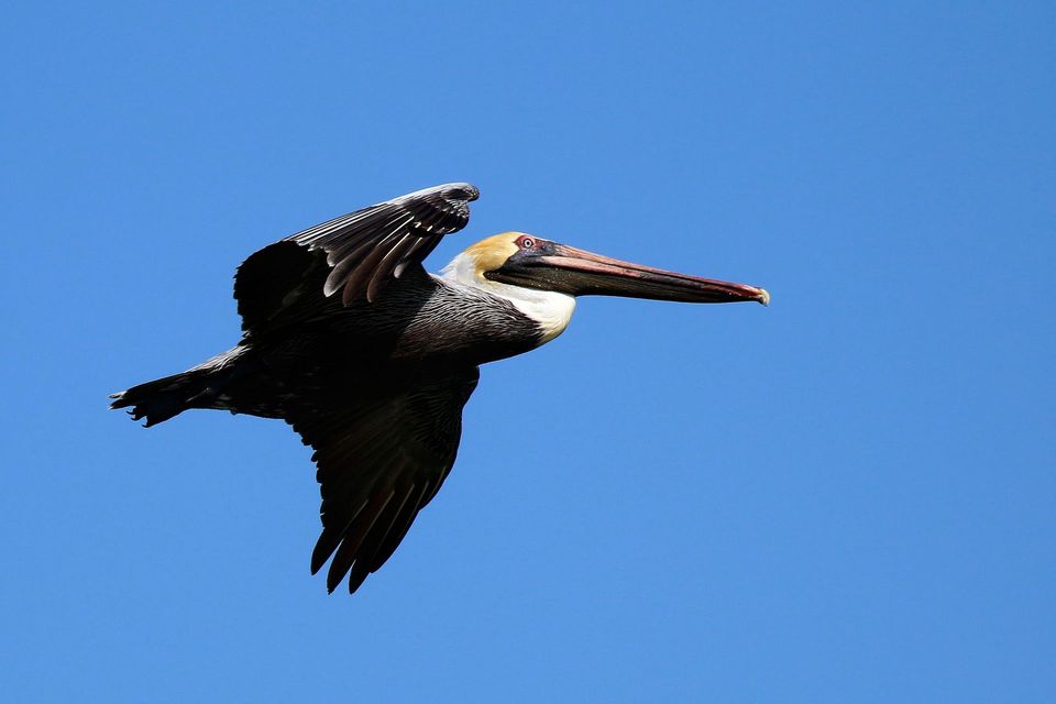
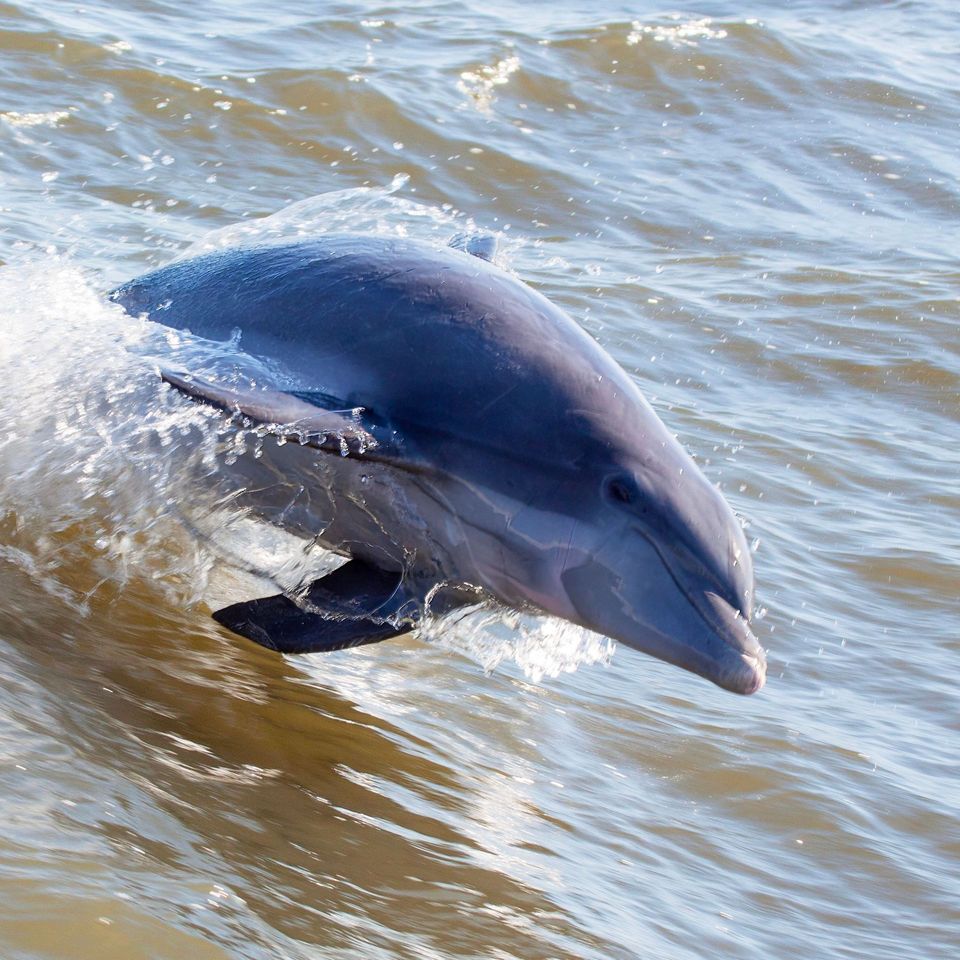
  • Wildlife heatmapsfor Brown Pelican, Tamanend's Bottlenose Dolphin, Bald Eagle, and 13 more
  • Works offlinemaps, 11 trails, 35 places, and audio download before you lose signal
  • CarPlay readysimple controls built for the drive
★★★★★
“Fantastic app with many points of information… It’s great to just turn on while you’re driving and it gives you an audio tour of the national Park. We love it!!!!”
JMJamesApp Store review
Download Parkwolf on the App StoreGet Parkwolf on Google Play

4.7 from 8,600+ ratings

Guide

More about Bodie Island Lighthouse

A lighthouse set in marsh and pineBodie Island Light Station is the striped lighthouse at the northern end of Cape Hatteras…

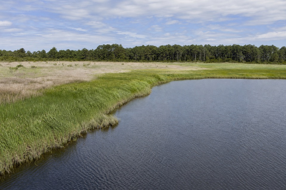
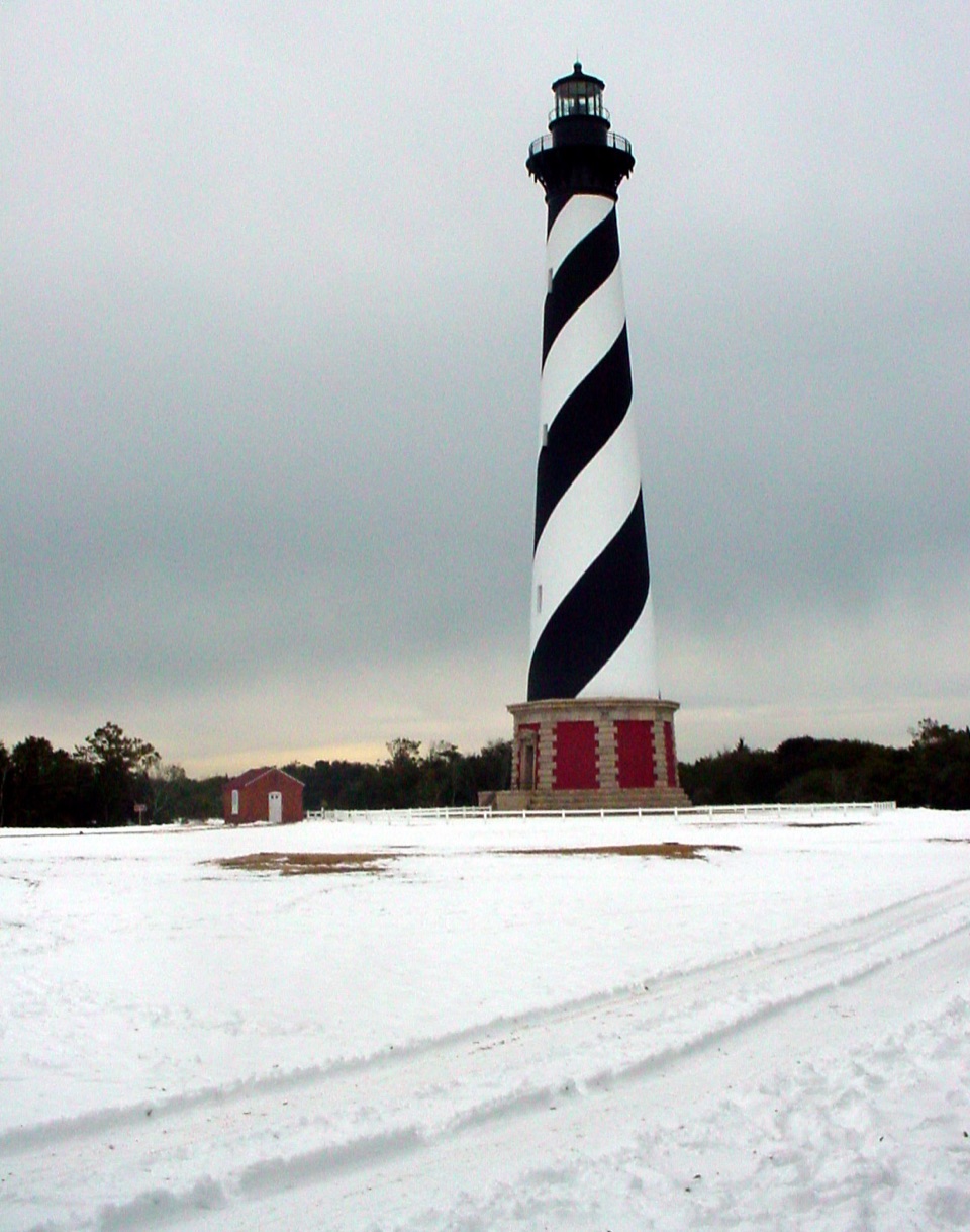
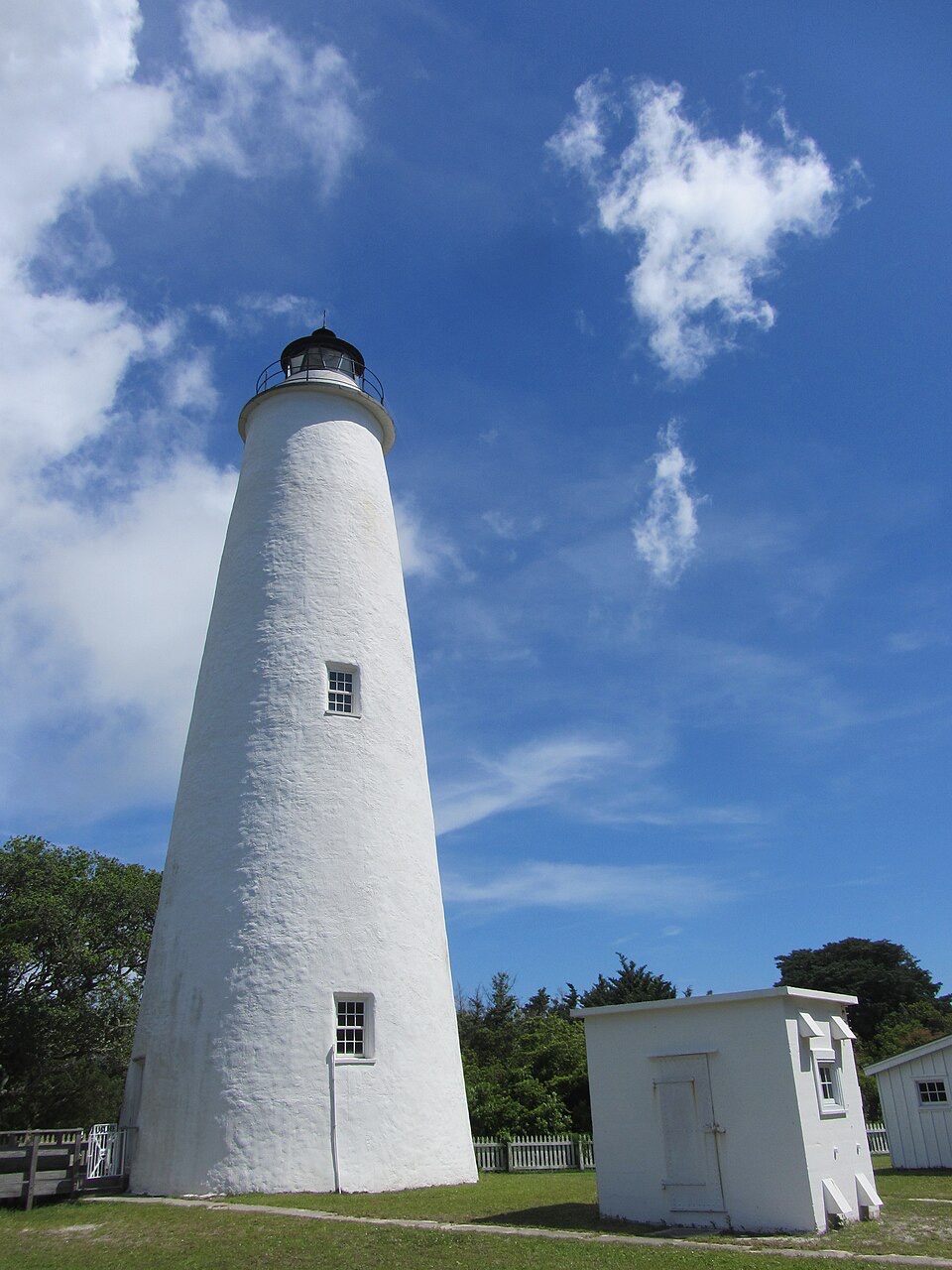
Bodie Island Light Station is the striped lighthouse at the northern end of Cape Hatteras National Seashore, set among tall pines and freshwater marsh near Nags Head. The current tower is the third built for this stretch of coast; it first showed its light in 1872 and still serves as a navigational aid. This isn't a tower rising straight off the beach. The grounds sit in the low, wooded island landscape, with marsh and pines around the landmark, which makes the first look feel different from a classic open-ocean lighthouse. Give the stop enough time for the outdoor grounds and boardwalk, even if you skip the stairs. The station is at 8210 Bodie Island Lighthouse Road.

The climb and the viewThe climb is seasonal and self-guided, up a winding staircase with just over 200 steps and nine…

The climb is seasonal and self-guided, up a winding staircase with just over 200 steps and nine landings. The steps are narrow, the handrail is only on one side, and there is no elevator or air conditioning; expect it to feel warm, close and dim inside. At the top, the view opens over Bodie Island toward both the Atlantic Ocean and Pamlico Sound, a payoff worth the effort if stairs are comfortable for you. Climbers must be at least 42 inches tall and under 260 pounds. Children 11 and younger need an adult with them, and pets aren't allowed on the climb. Weather can stop it, so check the current schedule and limits before you plan your visit around getting up the tower. If you don't climb, the grounds and marsh boardwalk still make this more than a photo from the car.

Three towers, one stubborn coastlineThere was a good reason this coast needed another beacon.

There was a good reason this coast needed another beacon. A 1837 survey warned that southbound ships were lost around the dangerous cape. The first Bodie Island lighthouse was completed in 1847, but its 54-foot brick tower started to lean within two years because the foundation was inadequate. It was abandoned in 1859. A second, 80-foot tower went up nearby that year and was blown up by retreating Confederate troops in 1861. Both early towers were south of Oregon Inlet, on what is now Pea Island. The present lighthouse was built north of the inlet on a 15-acre site; work began in 1871, and its first-order Fresnel lens sent its first beam out on October 1, 1872. A major restoration finished in 2013. That run from repeated failures to a working light is the story to have in mind as you look at it.

Walk the marsh, then look backTake the boardwalk to the marsh viewing platform for a closer look at this landscape.

Take the boardwalk to the marsh viewing platform for a closer look at this landscape. Interpretive stops cover the marsh, plants, and light station history, making a slow walk more interesting than a quick lap around the tower. For a photo, stand along the boards and use them as a leading line toward the black-and-white tower, with marsh grass across the foreground. It shows the station better than a tight crop of the lantern because you see how the tower fits into Bodie Island. This is an easy place to linger if you like coastal history, landscape photography, or lighthouses. Leave extra time for the climb, and don't let the stair ticket be the only reason you stop. Treat it as an outdoor stop and bring water and a snack for the boardwalk and stairs; no on-site dining was verified in current sources.

Wildlife

Wildlife in Cape Hatteras

All Cape Hatteras wildlife maps

Sighting maps show where each species has been reported across Cape Hatteras. Wildlife moves, so no sighting is guaranteed.

Parkwolf’s Cape Hatteras ranking

Top sights in Cape Hatteras

All 35 places
  1. 1Cape Hatteras LighthouseSight
  2. 3Ocracoke LighthouseSight
  3. 4Cape PointBeach
  4. 5Coquina BeachBeach
  5. 6Bonner Bridge PierSight
  6. 7Ocracoke BeachBeach

Take Parkwolf to Cape Hatteras.

The audio tour guide for the drive, plus offline maps, trails, and wildlife heatmaps for when the signal drops.

4.7 from 8,600+ ratings

Download Parkwolf on the App StoreGet Parkwolf on Google Play