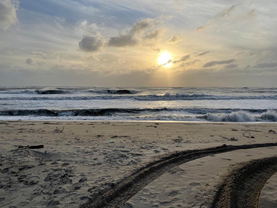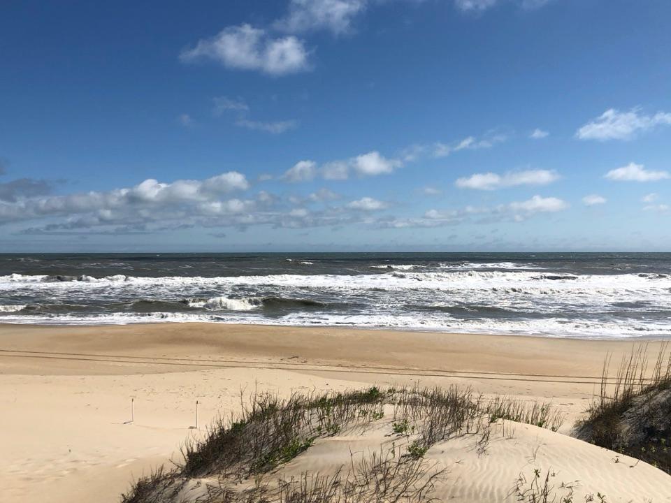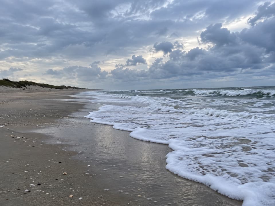
Pony Pasture Beach in Cape Hatteras National Seashore

Beach · Cape Hatteras National Seashore

Pony Pasture Beach

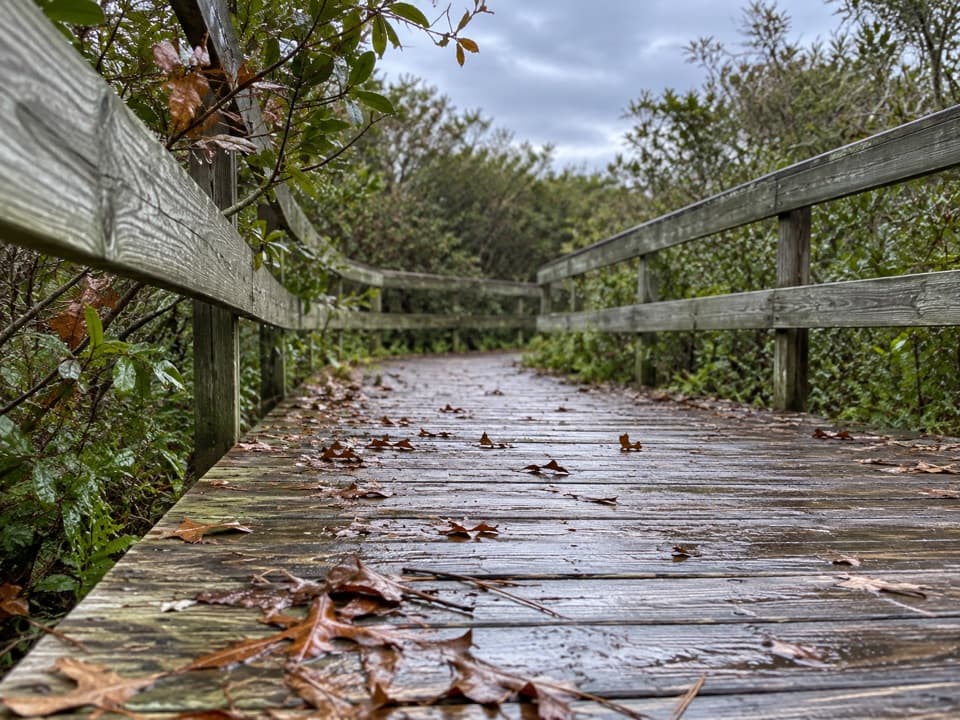
A boardwalk crosses the dunes to Ocracoke’s Atlantic shore.

Type
Beach
Nearest trail
3.3 mi
Audio stories
3 nearby
  • Parking
  • Restrooms
  • Picnic tables
  • Scenic viewpoint

Hear the audio tour

Ocracoke Pony Pens
Download Parkwolf on the App StoreGet Parkwolf on Google Play

4.7 from 8,600+ ratings

Overview

About Pony Pasture Beach

Why stop

  • Boardwalk to the beach opposite the pony pens.

Heads up

  • Rough surf and rip currents can make swimming dangerous.

Map

Where it is

Loading the Cape Hatteras map
Full map
BeachPony Pasture Beach35.14779, -75.87140
Keep this map with you offline in the Parkwolf app

Plan your stop

Before you go

4 active Cape Hatteras alerts

  • CautionSmall Craft Advisories and Gale Warnings on coastal watersLow pressure tracking north is bringing elevated winds and seas: Small Craft Advisories are in effect through Monday morning for nearshore waters, and Gale Warnings are in effect through Sunday…Official details
  • ClosureBilly Mitchell Airport closed for runway rehabilitationBilly Mitchell Airport (HSE) is closed for a runway pavement rehabilitation project.Official details

See all 4 alerts
A park ranger sits on a dash-mounted phone, talking, as Parkwolf’s Tour Guide plays “Army Cutworm Moths: A Grizzly Bear Buffet” on Grand Loop Road below Dunraven Pass in Yellowstone
Parkwolf Tour GuideThe highest, rockiest slopes around here are a summer buffet for grizzly bears.

Cape Hatteras Tour Guide

Your drive to Pony Pasture Beach, narrated.

Parkwolf is a GPS audio tour guide for Cape Hatteras National Seashore. As you drive, it chimes in with what’s ahead: hidden gems, upcoming stops, history, geology, and wildlife, right through your car’s speakers.

Recorded for this place

Ocracoke Pony Pens
0:00 / 0:32
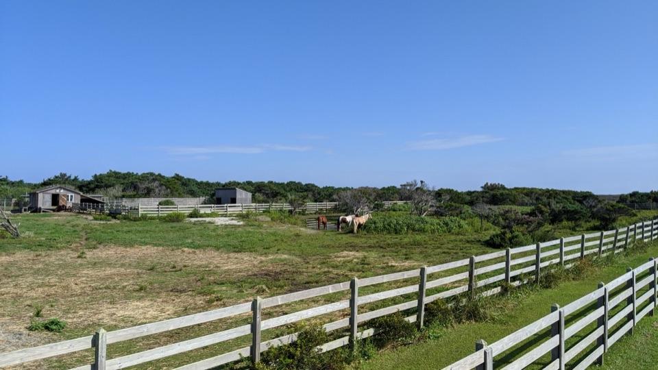
“You're coming up on Ocracoke Pony Pens, where the island's Banker horses live in a fenced pasture. Islanders used them to haul freight and fish, and lifesaving crews used them to bring equipment to shipwrecks.”

Plays as you drive up to Pony Pasture Beach in the Parkwolf Cape Hatteras Tour Guide.

More stories near here in the app

  • Give the Stars Twenty Minutes
  • Blackbeard's Last Surprise
  • Ocracoke Campground
  • What Up the Beach Means Here
  • 67 audio storiesacross Cape Hatteras’s roads, triggered by GPS as you drive
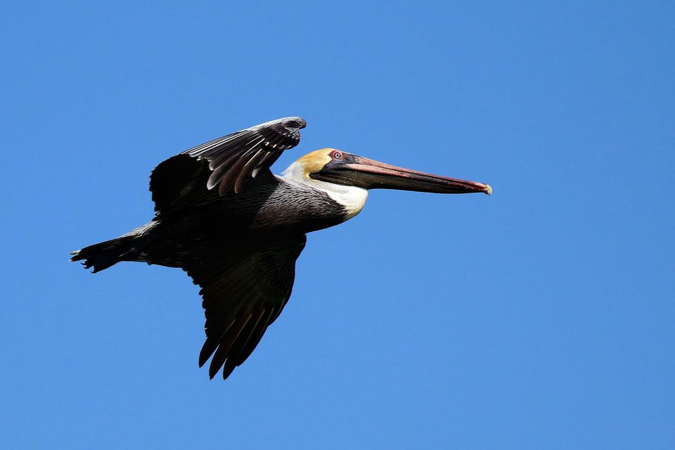
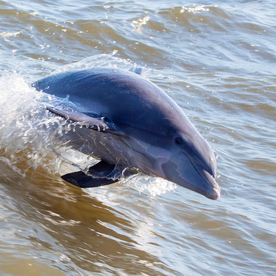
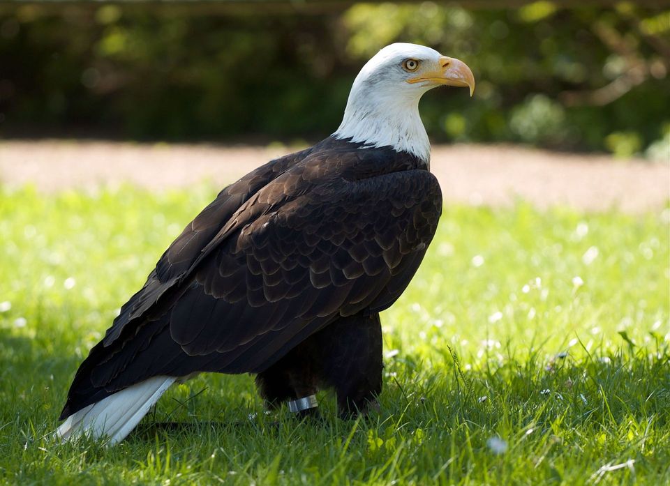
  • Wildlife heatmapsfor Brown Pelican, Tamanend's Bottlenose Dolphin, Bald Eagle, and 13 more
  • Works offlinemaps, 11 trails, 38 places, and audio download before you lose signal
  • CarPlay readysimple controls built for the drive
★★★★★
“Fantastic app with many points of information… It’s great to just turn on while you’re driving and it gives you an audio tour of the national Park. We love it!!!!”
JMJamesApp Store review
Download Parkwolf on the App StoreGet Parkwolf on Google Play

4.7 from 8,600+ ratings

Guide

More about Pony Pasture Beach

A boardwalk to the AtlanticPony Pasture Beach is an ocean beach access on Ocracoke, across NC-12 from the Ocracoke Pony…

Pony Pasture Beach is an ocean beach access on Ocracoke, across NC-12 from the Ocracoke Pony Pens. Park at the beach access and take the pedestrian boardwalk up and over the dunes to reach the sand. It is a simple shore stop to pair with the pony pens, not the separate lifeguarded beach farther south.

Plan a short stopThe beach is set apart from the road by the dune crossing.

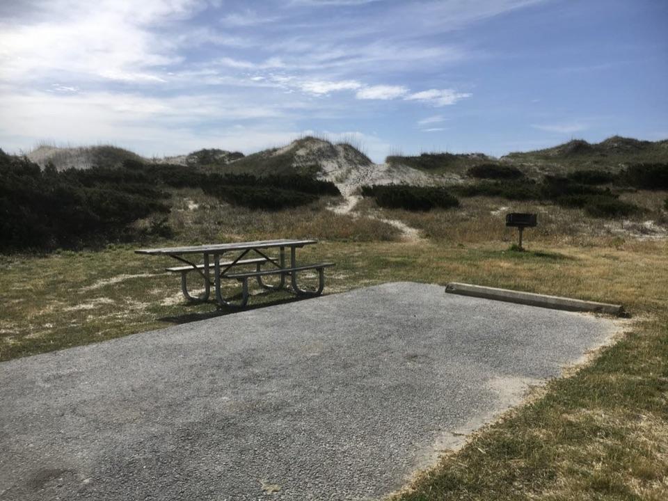
The beach is set apart from the road by the dune crossing. Portable restrooms and picnic tables are near the lot, so it is a convenient place to bring a picnic before or after a walk on the sand. The boardwalk crosses the dunes; check its suitability if step-free access is important to your visit.

Check the surfThis is an Atlantic beach, and rough surf and rip currents can make swimming dangerous.

This is an Atlantic beach, and rough surf and rip currents can make swimming dangerous. Even near the shoreline, breaking waves can knock you down, so do not count on calm water.

Wildlife

Wildlife in Cape Hatteras

All Cape Hatteras wildlife maps

Sighting maps show where each species has been reported across Cape Hatteras. Wildlife moves, so no sighting is guaranteed.

Parkwolf’s Cape Hatteras ranking

Top sights in Cape Hatteras

All 38 places
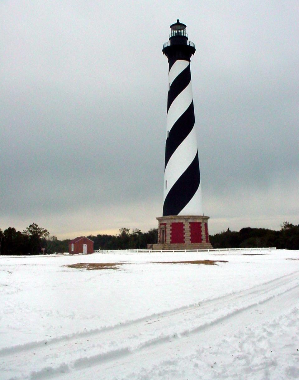
  1. 1Cape Hatteras LighthouseSight
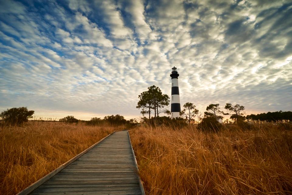
  2. 2Bodie Island LighthouseSight
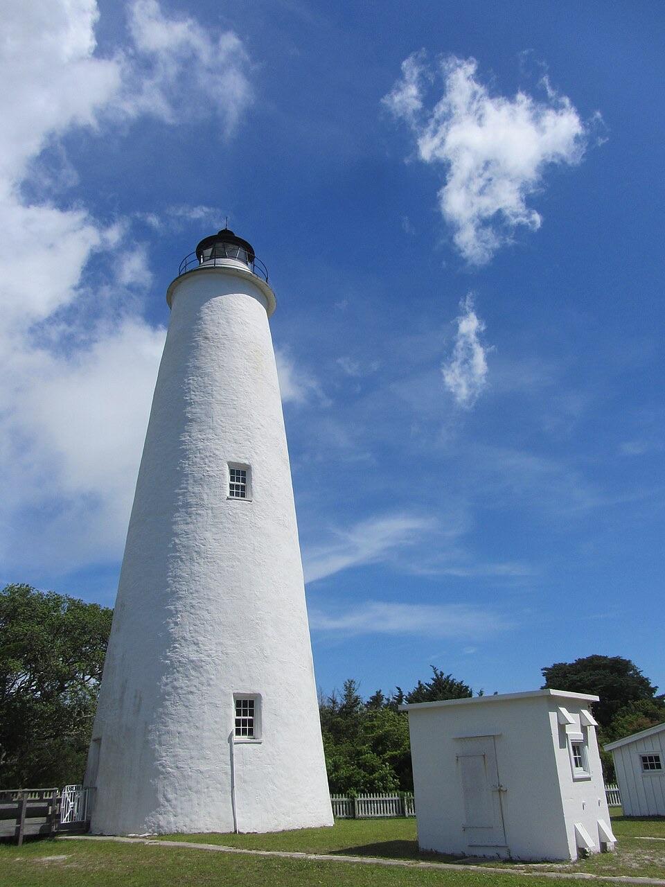
  3. 3Ocracoke LighthouseSight
  4. 4Cape PointBeach
  5. 5Coquina BeachBeach
  6. 6Bonner Bridge PierSight

Take Parkwolf to Cape Hatteras.

The audio tour guide for the drive, plus offline maps, trails, and wildlife heatmaps for when the signal drops.

4.7 from 8,600+ ratings

Download Parkwolf on the App StoreGet Parkwolf on Google Play