Parking
Start at the Hammock Hills Trailhead on NC 12, opposite the Ocracoke Campground entrance. NPS lists auto parking at the trailhead; capacity and fee details were not specified.

#4 of 11 trails in Cape Hatteras
Cape Hatteras National Seashore, NC
Boardwalk, dunes, and marsh views in a quick Ocracoke loop.
Overview
Map & elevation
Plan your hike

The highest, rockiest slopes around here are a summer buffet for grizzly bears.
Cape Hatteras Tour Guide
Parkwolf is a GPS audio tour guide for Cape Hatteras National Seashore. As you drive, it chimes in with what’s ahead: hidden gems, upcoming stops, history, geology, and wildlife, right through your car’s speakers.
Recorded for this trailhead
Hammock Hills Trail“You're approaching Hammock Hills Trailhead, opposite Ocracoke Campground. This easy eight-tenths-mile loop packs dune scrub, pine woods, and a boardwalk over a freshwater branch into about half an hour.”
Plays as you drive up to this trailhead in the Parkwolf Cape Hatteras Tour Guide.
More stories near here in the app
“Fantastic app with many points of information… It’s great to just turn on while you’re driving and it gives you an audio tour of the national Park. We love it!!!!”


Trail guide
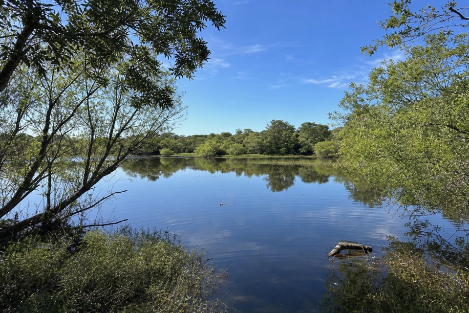
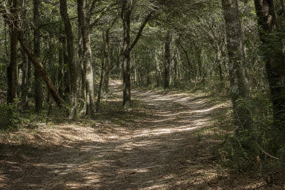
Hammock Hills Trail is an easy 0.8-mile lollipop loop on Ocracoke, with a short shared entrance stem leading through dune scrub and pine forest to a wooden platform at the salt marsh. Pamlico Sound lies beyond the grass from the platform, rather than along the trail itself. The full 0.8 miles covers the access path out and back plus the circuit; it is not 0.8 mile each way. Allow about half an hour, more if you stay at the overlook. This is a useful change from open beach scenery when you want shade, a small habitat walk and one clear destination without committing much of the day. Its payoff is variety packed into a short route; its limit is that most of the walk stays among trees and scrub and the water remains in the distance.
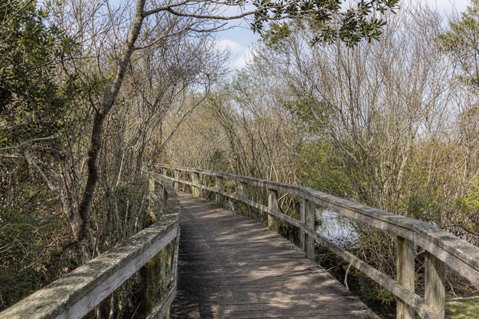
The path starts in a shrub thicket and reaches a wooden boardwalk crossing a small freshwater branch of Island Creek. Just beyond, it splits into the loop. Take the right side to meet the open dune section first, with low prickly pear among short scrub; the trail then swings into pine woods, where deeper soil supports plants that do not tolerate salt as well. More thicket leads to a wooden viewing platform at the marsh edge. After the platform, the route bends away from the water through thicket and pine, then returns to the same entrance stem. The bridge is still near the beginning; continue beyond it to the fork to complete the loop, then return to the trailhead on the other side. Most of the route follows ground tread; the wood boardwalk and platform are features along the walk, not an elevated path from end to end.
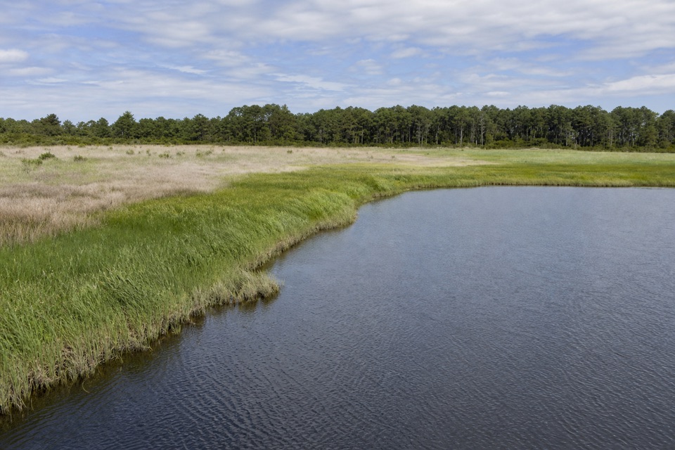
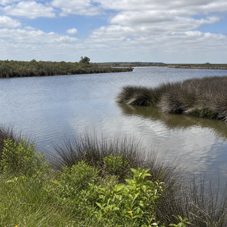
Give yourself a minute at the platform: the marsh is the real destination, with a wide band of grasses between the trail and the Sound. Saltmeadow hay grows above the highest tide line, while black needlerush and saltmarsh cordgrass mark the saltier ground closer to water. The wetland's plant material supports fish, clams, crabs and oysters, a useful reminder of how much is happening in a view that can look still. Black skimmers often sweep low over this marsh for food, but treat birds as a possibility rather than a promise. This is the trail's best photo stop. Frame the marsh grasses in the foreground and leave a strip of distant Sound above them; otherwise the platform view can read as an undifferentiated field of green.
Start at the Hammock Hills Trailhead on NC 12, opposite the entrance to Ocracoke Campground; the trailhead listing includes auto parking and a bicycle rack. The campground is across the highway and is a separate facility, so don't count its services as part of this short stop. Current parking capacity and fee details were not verified. The distance and gentle profile make this an easy walk, though only one part is boardwalk; expect a natural path in the wooded sections. Pets are allowed on a leash no longer than six feet. Plan longer than a half-hour if you want to pause at the marsh or read the interpretive information near the start.
Wildlife
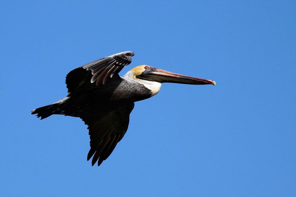 489 sightingsBrown PelicanMost seen around 8 AMSighting map
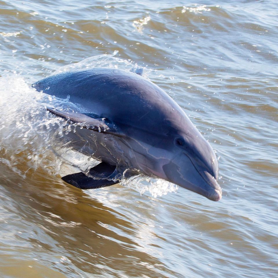 64 sightingsTamanend's Bottlenose DolphinMost seen around 7 AMSighting map
 35 sightingsBald EagleMost seen around 8 AMSighting map
 225 sightingsWhite-tailed DeerMost seen around 7 AMSighting map
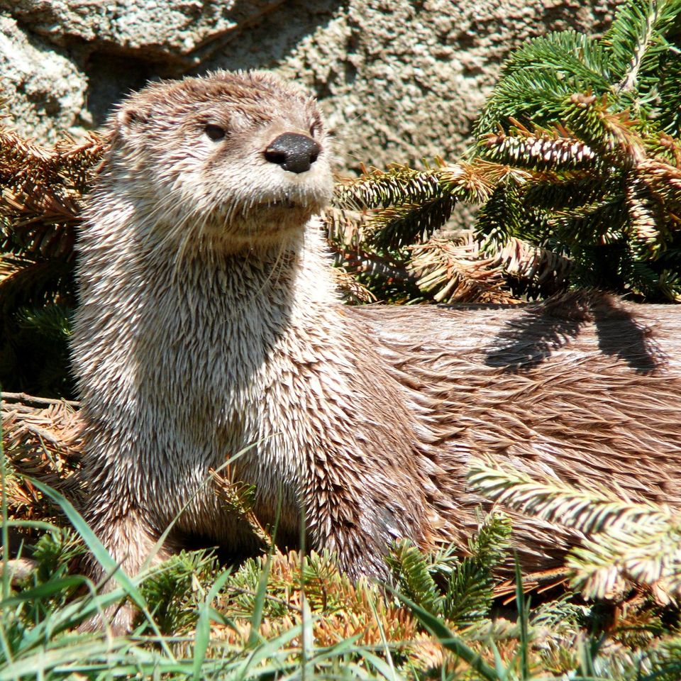 59 sightingsRiver OtterMost seen around 7 PMSighting map
 112 sightingsOspreyMost seen around 8 AMSighting map
Sighting maps show where each species has been reported across Cape Hatteras. Wildlife moves, so no sighting is guaranteed.
Keep exploring
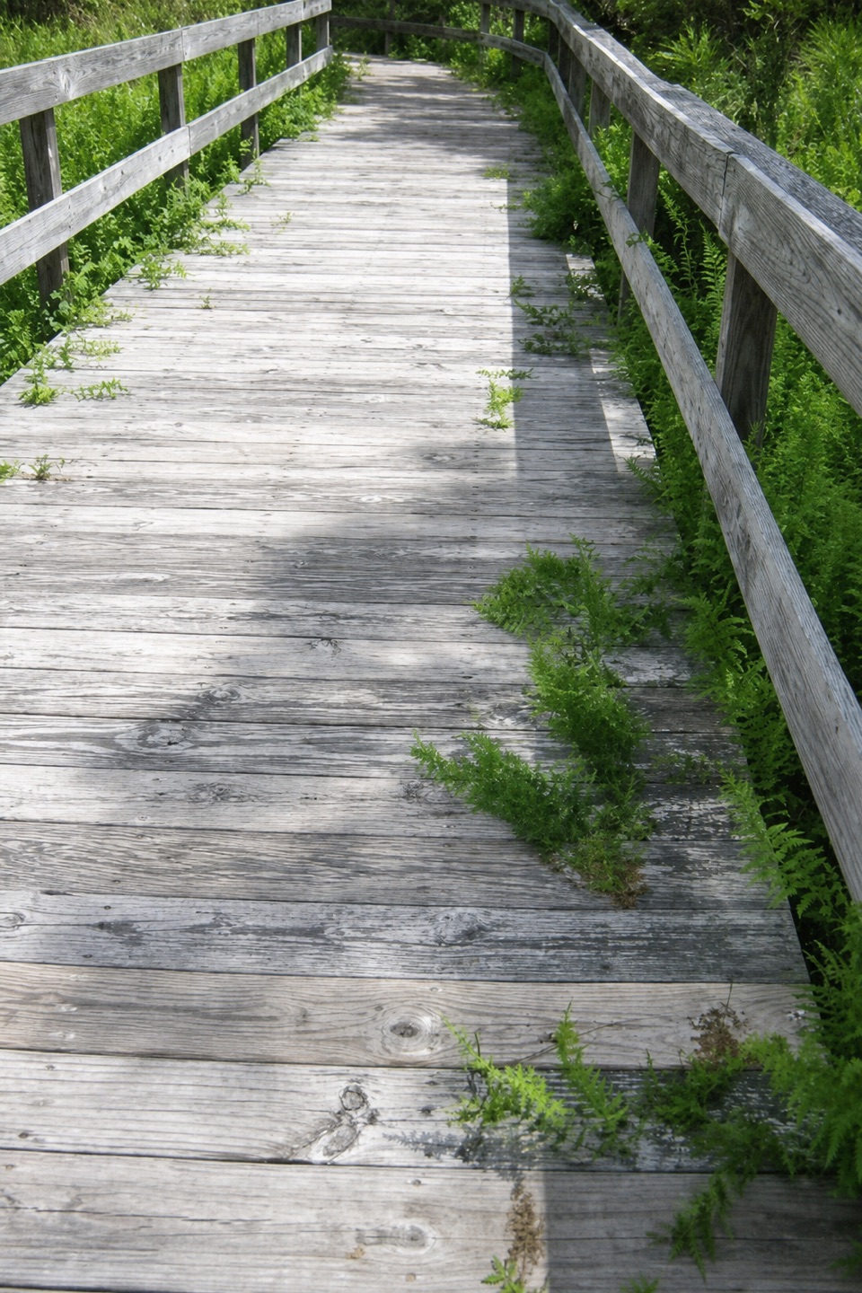 EasyOcracoke Multi-Use Path3 mi · 1.5 hr · 2.9 mi awayA paved 3-mile link between the village and the campground
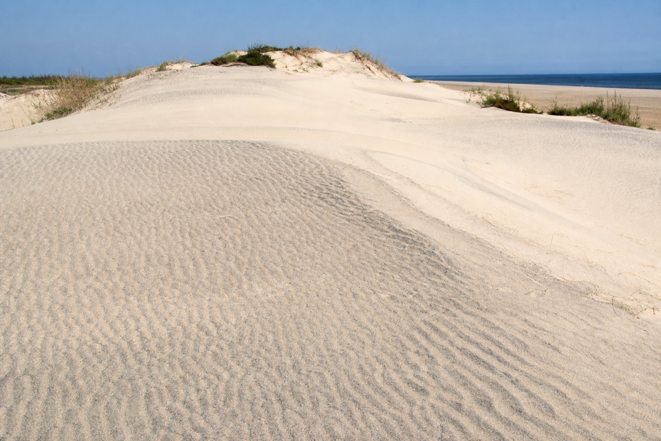 ChallengingMountains-to-Sea Trail: Cape Hatteras Section72.3 mi · 1.7 days · 3.6 mi awayA long beach route with one ferry crossing and a forest break.
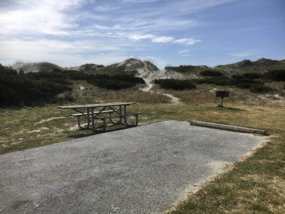 Campground · 0.3 mi awayOcracoke CampgroundCamp behind the dunes, with the Atlantic a short walk away.
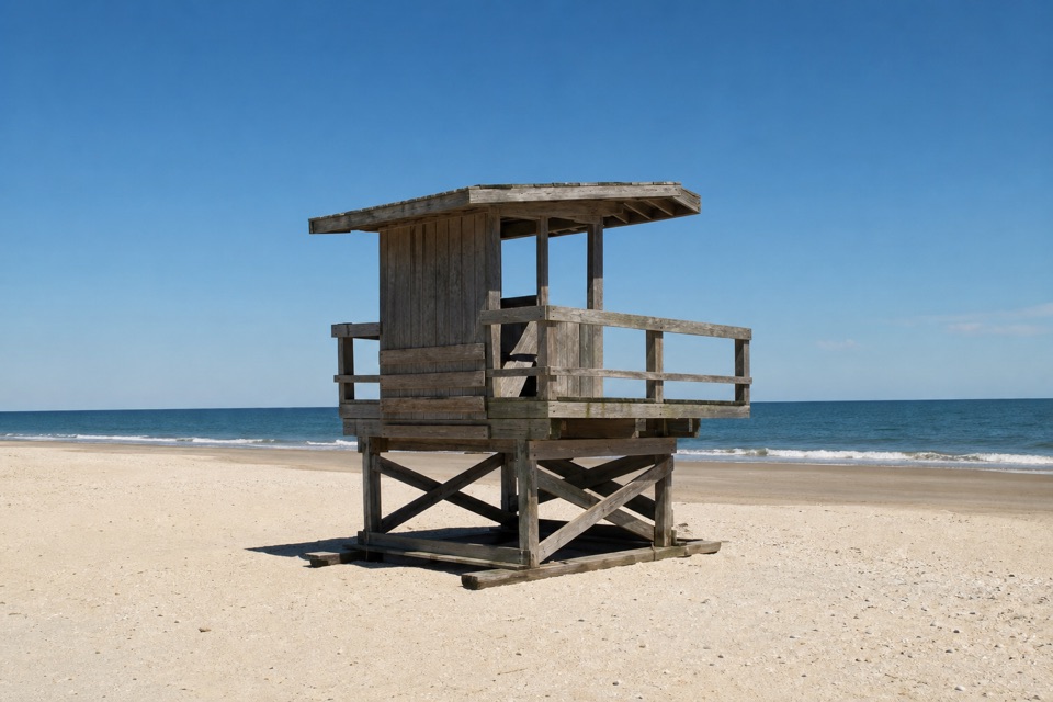 Beach · 2.1 mi awayOcracoke BeachA boardwalk leads to a warmer Atlantic beach with summer lifeguards.
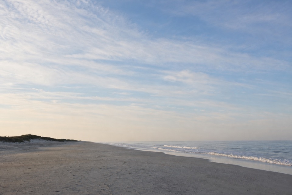 Beach · 3.3 mi awayPony Pasture BeachA boardwalk crosses the dunes to Ocracoke’s Atlantic shore.
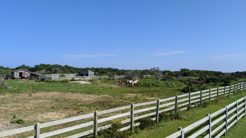 Sight · 3.4 mi awayOcracoke Pony PensTwo raised decks offer an easy chance to spot Ocracoke's horses.
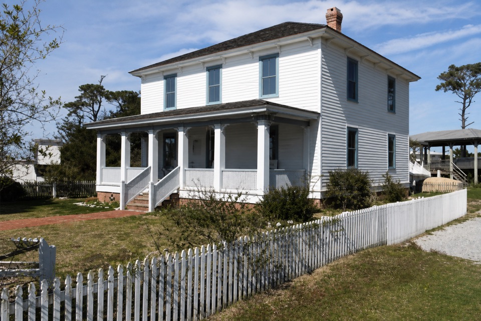 Sight · 3.5 mi awayOcracoke Preservation Society MuseumOcracoke history inside a restored home from around 1900.
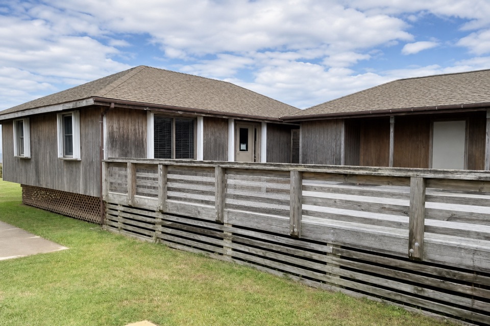 Visitor center · 3.6 mi awayOcracoke Island Discovery CenterA useful first stop for maps, park info, and island bearings.
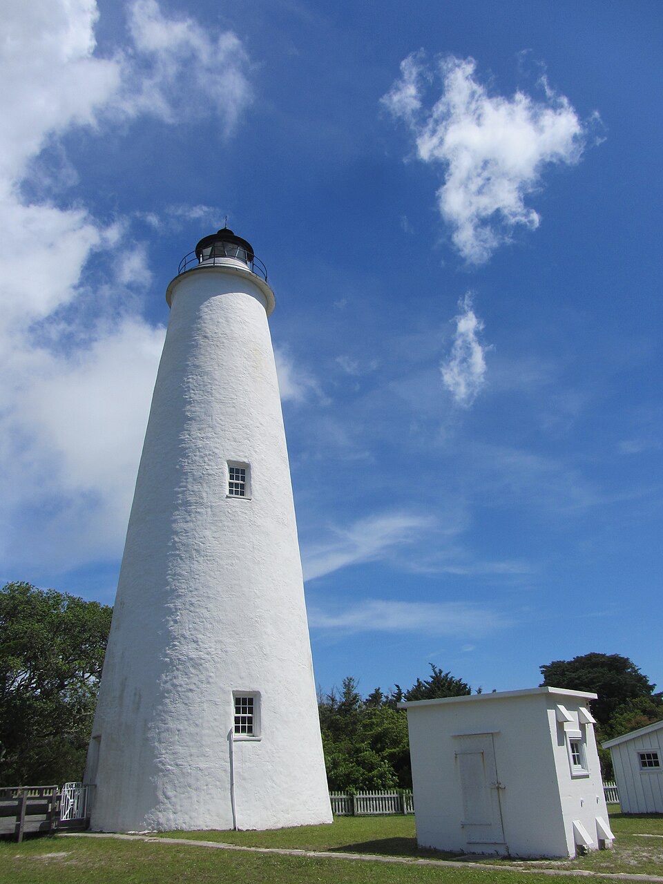 Sight · 3.7 mi awayOcracoke LighthouseA working 1820s lighthouse, an easy walk from the village.
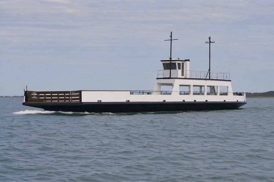 Sight · 9.3 mi awayOcracoke North Ferry TerminalThis open-water ferry links Hatteras with Ocracoke's north end.
Parkwolf’s Cape Hatteras ranking

The audio tour guide for the drive, plus offline maps, trails, and wildlife heatmaps for when the signal drops.