Parking
There is no drive-in trailhead or parking. Arrive at Becher’s Bay Pier by boat and follow the ranch access roads toward Smith Highway.
Channel Islands National Park, CA
A long walk ends where a creek tumbles into a pocket beach.
Overview
Map & elevation
Plan your hike

The highest, rockiest slopes around here are a summer buffet for grizzly bears.
Channel Islands Tour Guide
Parkwolf is a GPS audio tour guide for Channel Islands National Park. As you drive, it chimes in with what’s ahead: hidden gems, upcoming stops, history, geology, and wildlife, right through your car’s speakers.
See the Channel Islands audio tour“Fantastic app with many points of information… It’s great to just turn on while you’re driving and it gives you an audio tour of the national Park. We love it!!!!”


Trail guide
Cow Canyon Coastal Hike is a 10.7-mile out-and-back from Becher’s Bay Pier to a pocket beach where a creek spills over the bluff. Follow the ranch roads west to Smith Highway, descend through Lobo Canyon, then continue along the signed coastal bluffs; return the same way. Allow about seven hours. NPS rates the shorter 9.6-mile Lobo Canyon hike strenuous, and this route adds the coastal continuation. It is too long for Island Packers’ usual three to four hours ashore, so choose it only if you have time to finish without racing back to the boat.
From the pier, the access road passes old ranch buildings and a research station before joining Smith Highway. This rough, unpaved track crosses Windmill Creek and climbs through open grassland, with views back over Becher’s Bay toward Santa Cruz Island. Most of this early stretch is ranch road rather than a narrow hiking path.
At the signed Lobo Canyon access, leave the road and descend through island oaks and toyon. Near the creek, cattails, horsetail, willows and cottonwoods make a cool green strip through the drier grassland. Poison oak grows here, too. After roughly 150 years of ranching changed much of the island’s vegetation, the canyon gives you a closer look at its native plants. The canyon’s sandstone and siltstone have been carved by wind and water. The 9.6-mile NPS Lobo Canyon figure ends at the canyon mouth; this hike continues beyond it.
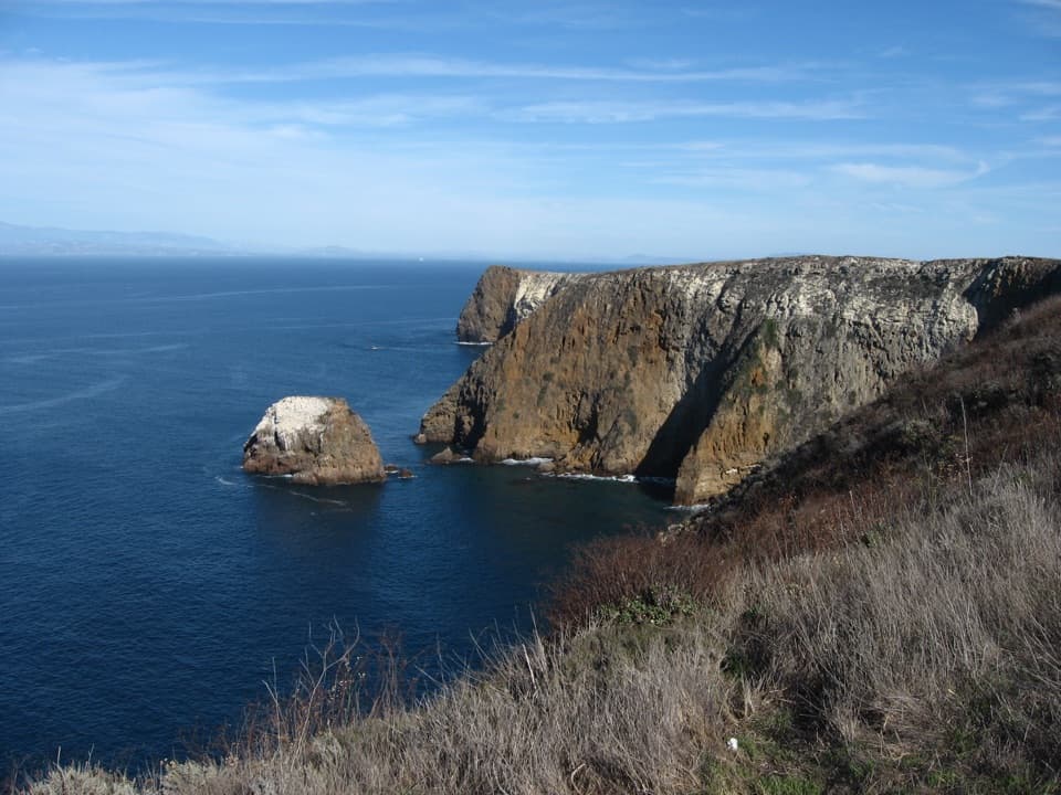
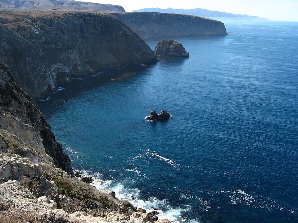
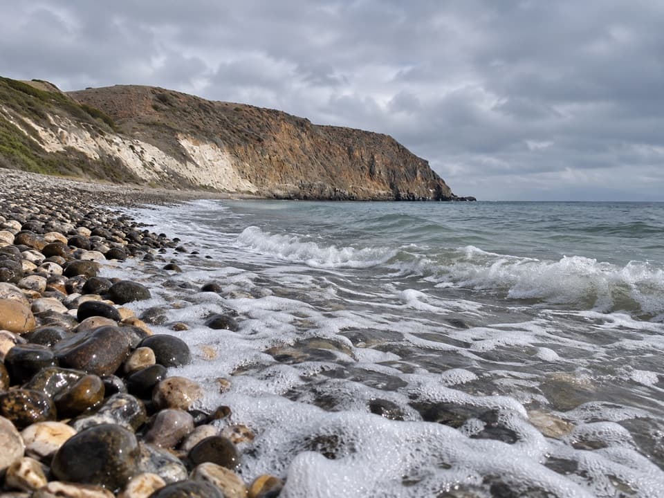
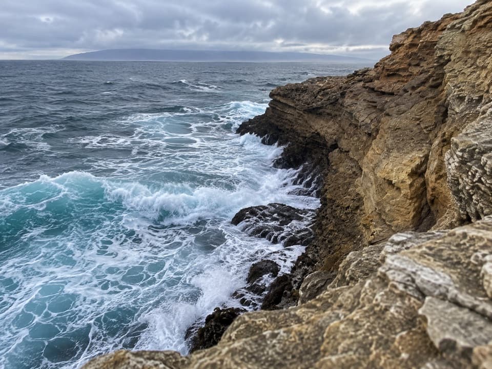
At Lobo’s mouth, follow the marked bluff route west for roughly half a mile to Cow Canyon. NPS restricts travel to the trail along this coastal stretch to protect sensitive resources. At the end, Cow Canyon creek drops over the bluff as a small waterfall above a pocket beach. The beach is below the cliffs, and the official island map warns that the edges are crumbly and unstable; enjoy the view from the signed route instead of scrambling over the bluff.
There is potable water in the historic ranch area and at Water Canyon Campground, but NPS advises purifying water from natural sources. Two picnic tables sit under oaks near the Lobo Canyon trail start; no food service on the route was found. Pets are not allowed on the islands to protect wildlife. This route starts at the pier, and the boat landing is not a drive-in trailhead—check your boat or flight schedule before setting out.
Wildlife
 2,278 sightingsIsland FoxMost seen around 6 PMSighting map
 284 sightingsHumpback WhaleMost seen around 9 AMSighting map
 79 sightingsBlue WhaleMost seen around 7 AMSighting map
 102 sightingsGrey WhaleMost seen around 8 AMSighting map
 373 sightingsCalifornia Sea LionMost seen around noonSighting map
 106 sightingsBald EagleMost seen around 5 PMSighting map
Sighting maps show where each species has been reported across Channel Islands. Wildlife moves, so no sighting is guaranteed.
Keep exploring
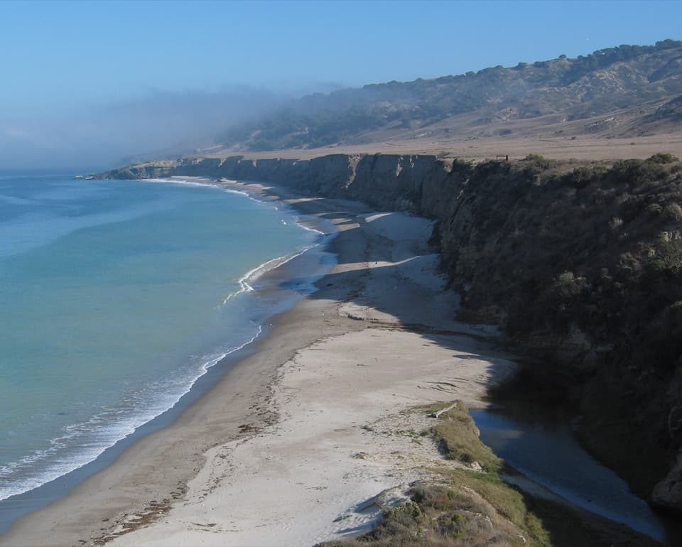 EasyWater Canyon Beach Hike3 mi · 1.8 hr · At the trailheadThree easy miles to a long white sand beach and back.
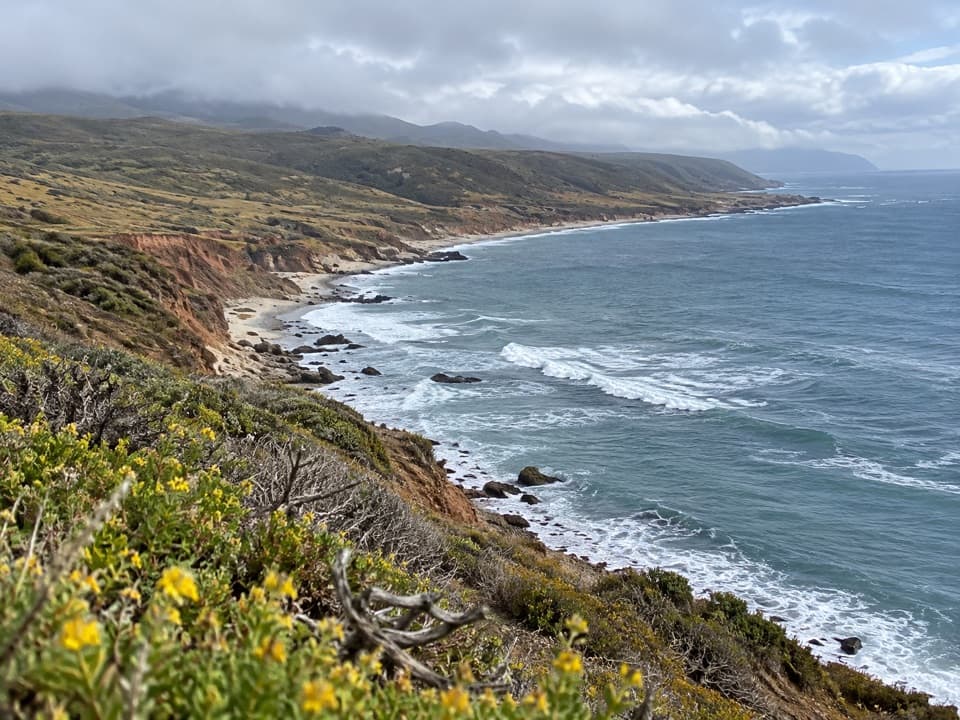 ChallengingJohnson’s Lee Hike28 mi · 16 hr · At the trailheadA strenuous 28-mile out-and-back to Santa Rosa’s remote south coast.
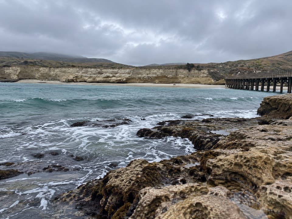 ChallengingCarrington Point Trail8 mi · 4 hr · At the trailheadEight miles out and back to a sea arch and blowhole.
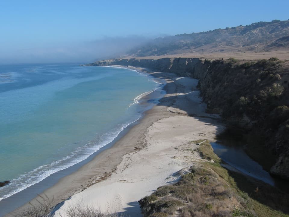 EasyBecher’s Bay Coastal Trail2 mi · 1 hr · At the trailheadA flat bluff walk with wide views over Bechers Bay.
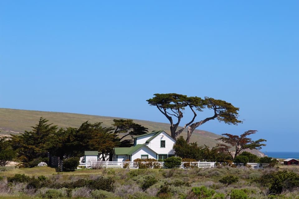 EasyHistoric Ranch Hike0.8 mi · 30 min · At the trailheadA gentle walk from the pier into Santa Rosa's ranching past.
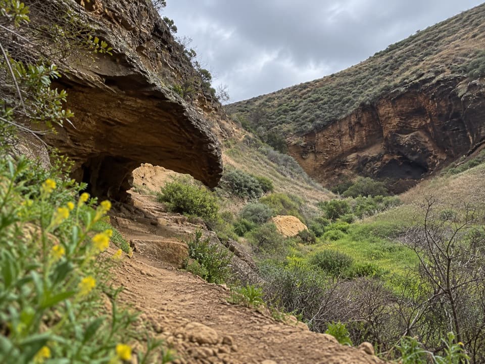 ChallengingLobo Canyon Hike9.6 mi · 6 hr · 0.1 mi awayA long island road walk opens onto an unexpectedly lush canyon.
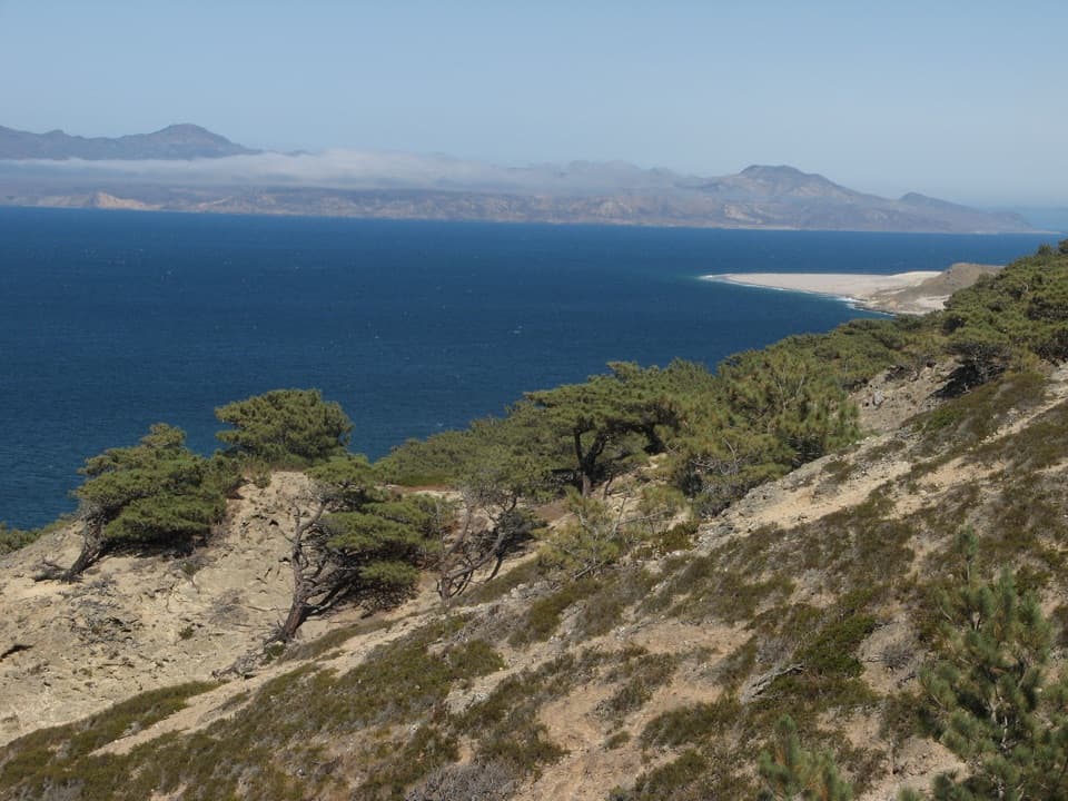 ChallengingTorrey Pines Loop Hike7.5 mi · 4.5 hr · 0.1 mi awayA steep loop through a pine grove found only in two places.
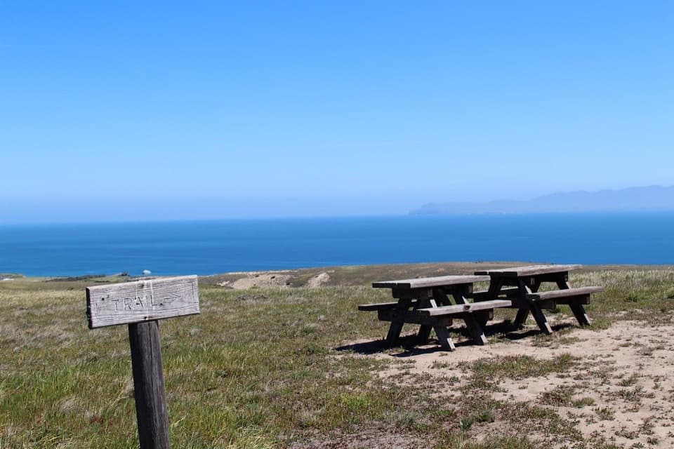 ModerateCherry Canyon Hike3.5 mi · 2.5 hr · 0.1 mi awayA seasonal creek and switchbacks open onto a coastal terrace.
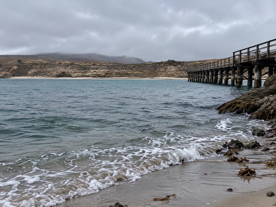 Sight · At the trailheadBecher's Bay PierA boat landing with a century and a half of ranching history.
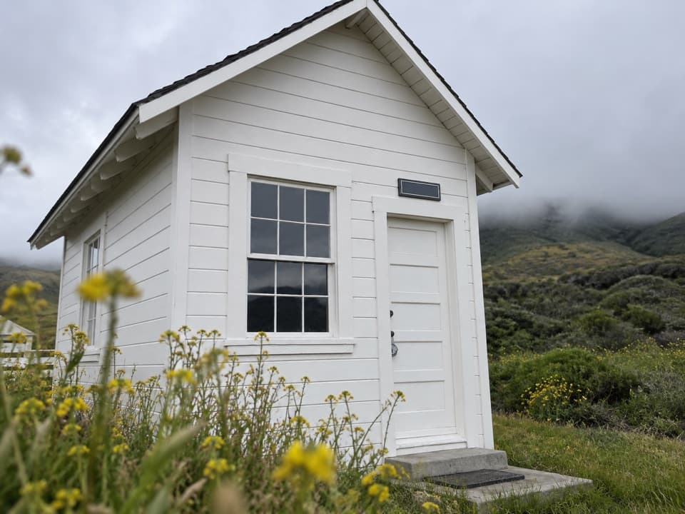 Sight · 0.2 mi awayVail & Vickers Cattle Ranch and SchoolhouseA level walk into Santa Rosa Island's cattle-ranch past.Beach · 1 mi awayWater Canyon BeachTwo miles of sand, reached by a three-mile island walk.
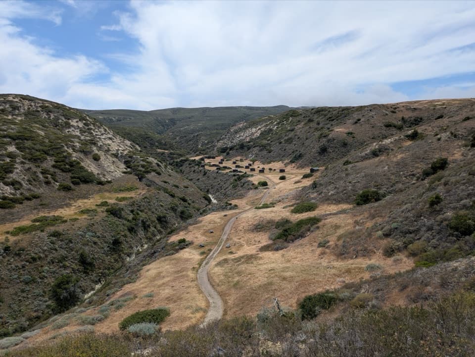 Campground · 1.1 mi awayWater Canyon CampgroundA windy 15-site camp with a 1.5-mile gear carry from the pier.
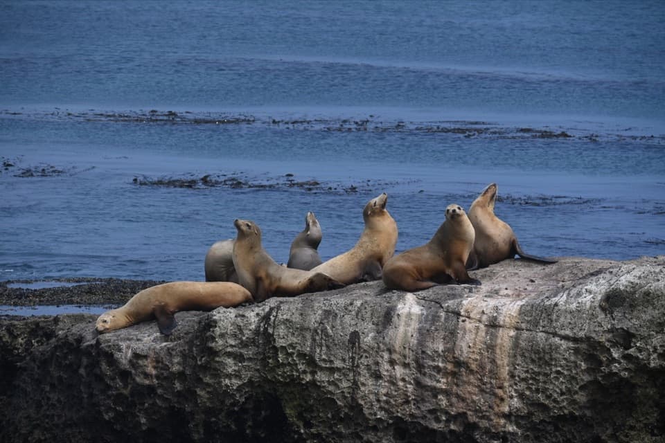 Sight · 1.8 mi awayCarrington PointSea lions and a pygmy-mammoth story beside a nearly 300-degree ocean view.
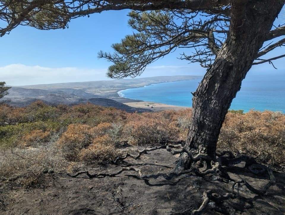 Sight · 2.3 mi awayTorrey Pines GroveOne of only two natural Torrey pine populations grows here.
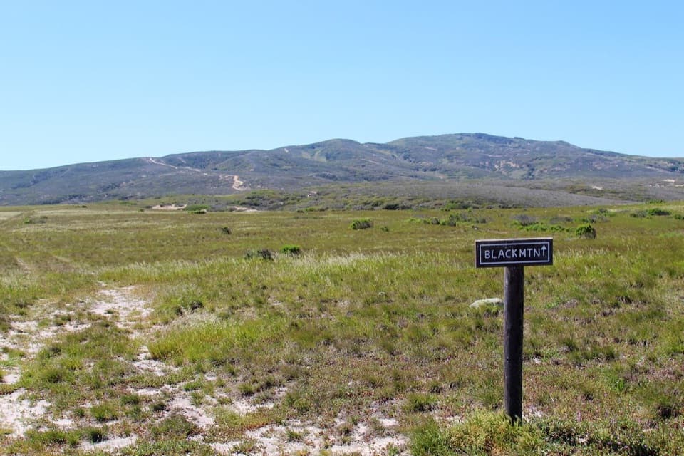 Sight · 2.7 mi awayBlack MountainA steep summit hike with island-wide views when the fog lifts.
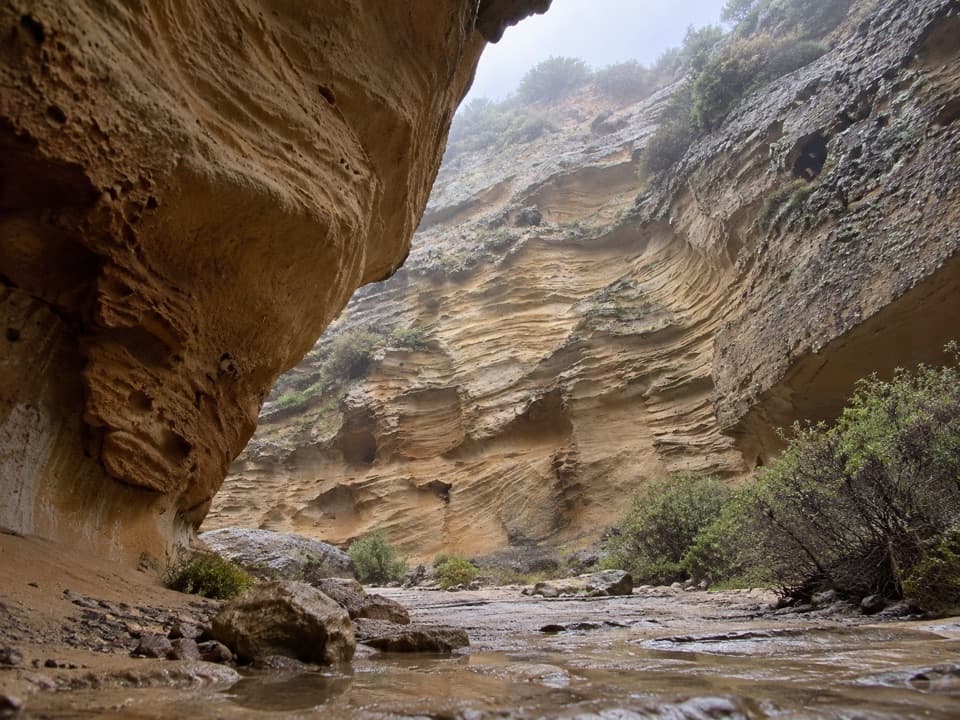 Sight · 3 mi awayLobo CanyonA green stream below honeycombed sandstone, after a long island hike.
Parkwolf’s Channel Islands ranking

The audio tour guide for the drive, plus offline maps, trails, and wildlife heatmaps for when the signal drops.