Parking
There is no on-island vehicle parking. Arrive by boat at the Bechers Bay Pier and confirm the concession schedule before starting.

Channel Islands National Park, CA
Strenuous, windswept out-and-back from Bechers Bay to wildlife-rich Carrington Point
Overview
Carrington Point is Santa Rosa Island’s strenuous, windswept out-and-back from the Bechers Bay Pier to the island’s remote northern coastal promontory. The National Park Service lists the visitor route as 8 miles round trip from the pier. The verified stored line follows the one-way corridor once—about 4.04 mapped miles—while the visitor distance and time describe the full walk out and back.
This is a demanding but rewarding island day hike for expansive coastal scenery, marine wildlife, and Carrington Point’s distinctive blowhole and sea arch. The distance, exposure, and boat schedule require deliberate planning.
 Parkwolf’s verdictBottom Line
Map & elevation
Plan your hike

The highest, rockiest slopes around here are a summer buffet for grizzly bears.
Channel Islands Tour Guide
Parkwolf is a GPS audio tour guide for Channel Islands National Park. As you drive, it chimes in with what’s ahead: hidden gems, upcoming stops, history, geology, and wildlife, right through your car’s speakers.
See the Channel Islands audio tourRecorded for this trailhead
Trail Options from the Bechers Bay Pier“From the pier at Bechers Bay, you have a couple of great hiking choices. For an easy walk, a gentle, mostly flat trail follows the bluffs, offering big views of the bay—a nice warm-up.”
Plays as you drive up to this trailhead in the Parkwolf Channel Islands Tour Guide.
More stories near here in the app
“Fantastic app with many points of information… It’s great to just turn on while you’re driving and it gives you an audio tour of the national Park. We love it!!!!”


Trail guide
The route crosses open grassland and marine terraces to broad Pacific views at Carrington Point. The point is known for seals, sea lions, seabirds, an ocean blowhole, a sea arch, and the endangered soft-leaved island paintbrush. Keep wildlife and sensitive coastal habitat undisturbed and remain on established routes.
Begin at the Bechers Bay Pier access area and follow the established Airstrip Road, Smith Highway, Carrington Green Road, and Carrington Point corridor to the point. The route has rolling terrain with steeper sections, little shade, and sustained exposure to island wind. The return retraces the same corridor.
Santa Rosa Island is reached by boat, and there is no on-island vehicle parking. Plan about 4 hours of hiking time, then add margin for the boat landing, weather, stops, and the return departure. Carry all water, food, sun protection, and wind layers; do not count on reliable water or services along this remote route. Confirm the concession schedule before setting out.
Stay on designated trails and roads, protect sensitive wildlife, and give cliff edges a wide berth because the rims can be crumbly and unstable. Strong wind, full sun, uneven footing, and ferry timing can make this strenuous hike more demanding than the mileage suggests. Pets are not allowed on the island.
Wildlife
 2,232 sightingsIsland FoxMost seen around 6 PMSighting map
 282 sightingsHumpback WhaleMost seen around 9 AMSighting map
 79 sightingsBlue WhaleMost seen around 7 AMSighting map
 101 sightingsGrey WhaleMost seen around 8 AMSighting map
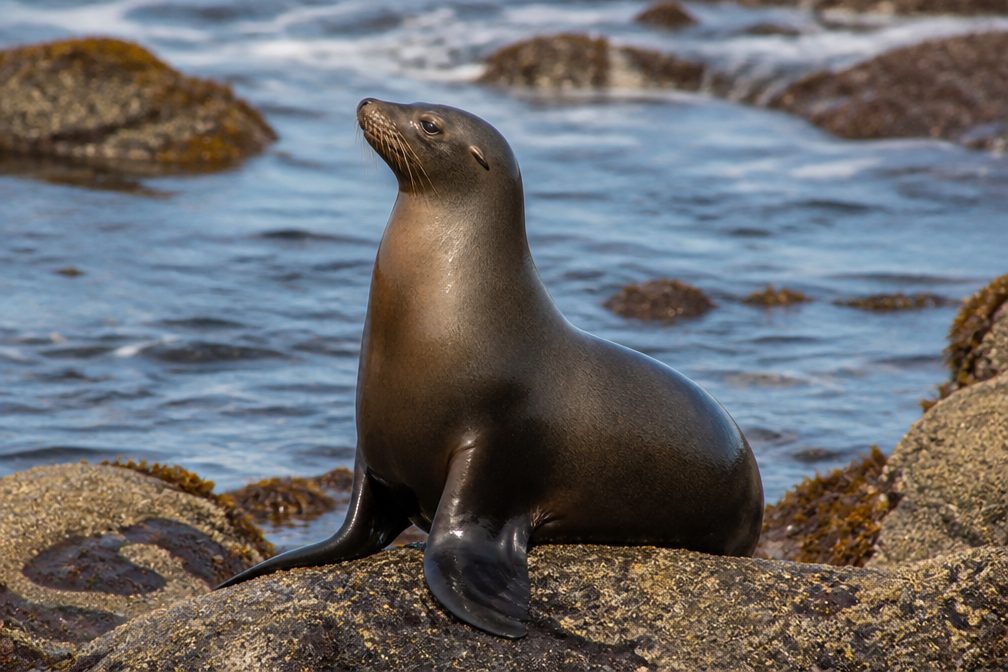 364 sightingsCalifornia Sea LionMost seen around noonSighting map
 105 sightingsBald EagleMost seen around 5 PMSighting map
Sighting maps show where each species has been reported across Channel Islands. Wildlife moves, so no sighting is guaranteed.
Keep exploring
 EasyBechers Bay Coastal Trail2 mi · 1.3 hr · At the trailheadEasy coastal-bluff walk from the Bechers Bay pier to the airstrip junction
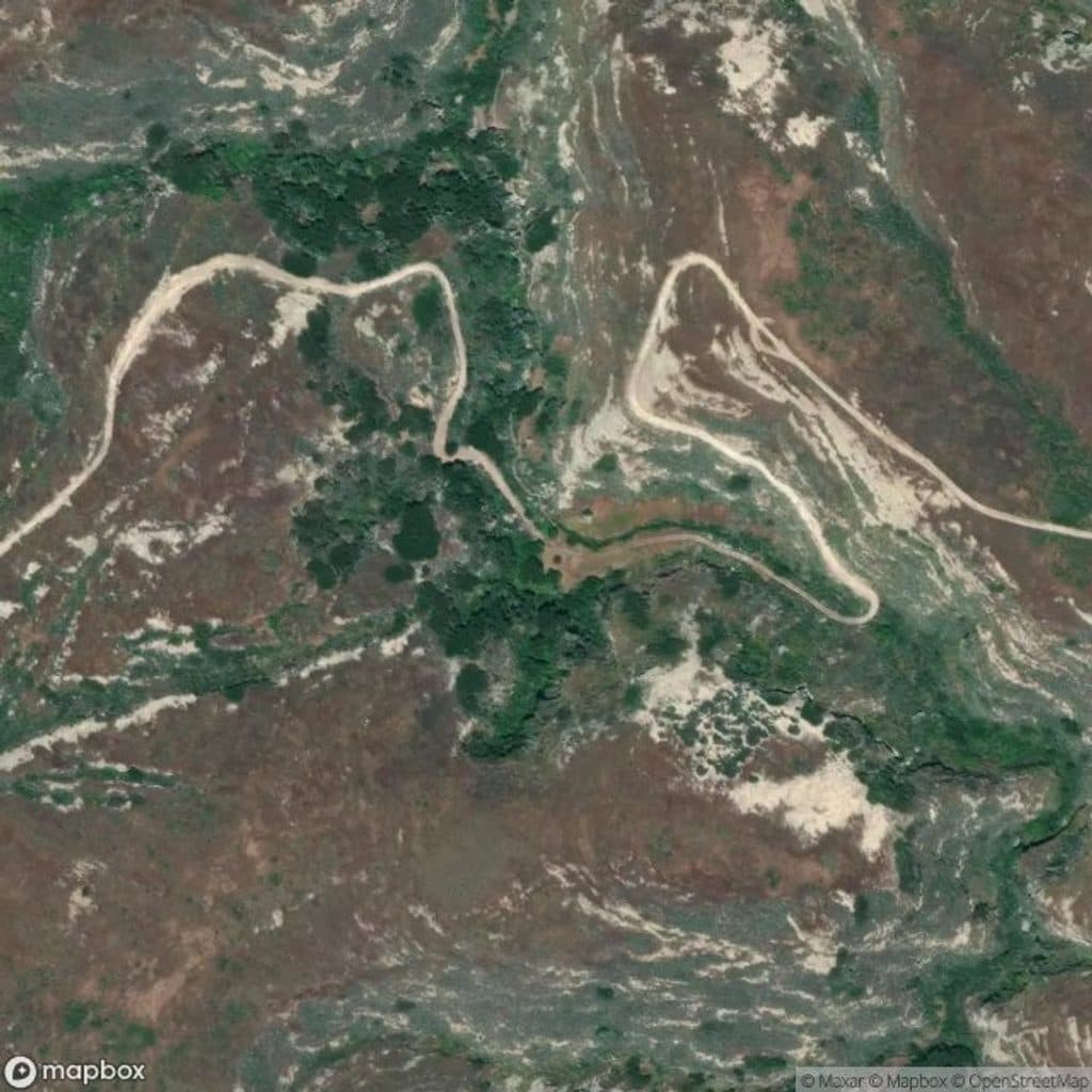 ChallengingLobo Canyon Trail9.6 mi · 6 hr · 0.1 mi awaySculpted sandstone canyon to a wild, lonely Santa Rosa coast
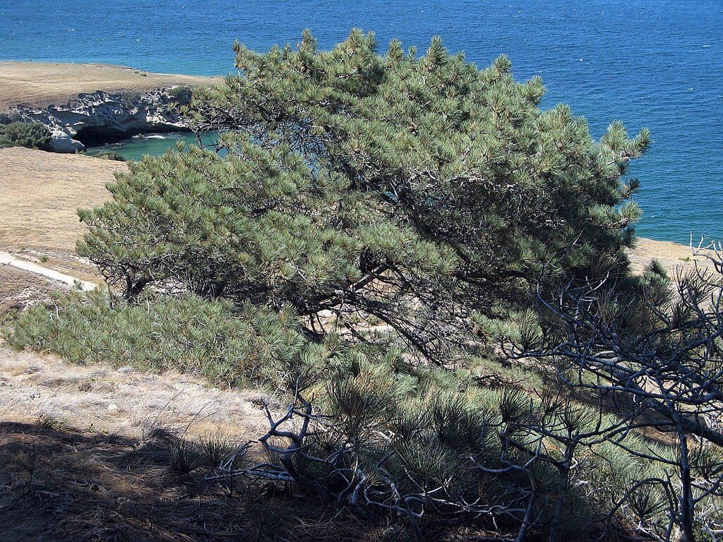 ChallengingTorrey Pines Grove Loop7.5 mi · 4.5 hr · 0.1 mi awayA strenuous Santa Rosa Island loop through the rare Torrey pine grove
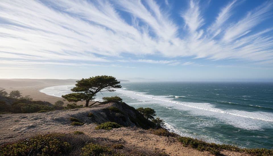 ModerateTorrey Pines Trail5 mi · 2.5 hr · 0.1 mi awayModerate Santa Rosa Island walk to the rare Torrey pine grove
 ChallengingSkunk Point Trail12 mi · 6 hr · 0.1 mi awayExposed Santa Rosa Island road, pine, beach, and tidepool hike to Skunk Point
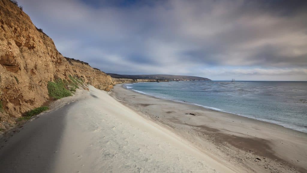 EasyWater Canyon Beach Trail3 mi · 1.5 hr · 0.1 mi awayEasy island walk from the Bechers Bay pier to a broad white-sand beach
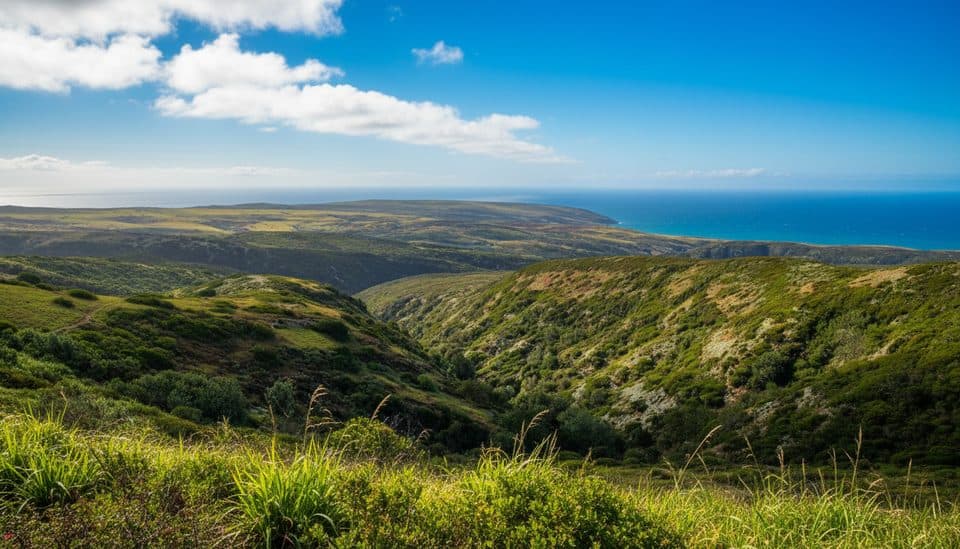 ChallengingBlack Mountain Trail8 mi · 4.5 hr · 0.1 mi awayStrenuous island summit climb through oak woodland to wide ocean and island views
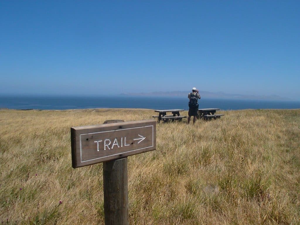 EasyCherry Canyon Trail3.5 mi · 2 hr · 0.1 mi awayModerate loop through Cherry Canyon to Bechers Bay views from the Santa Rosa Island pier
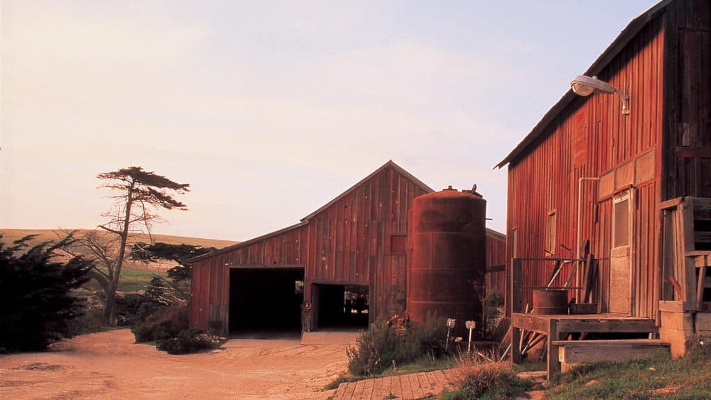 Sight · 0.2 mi awayVail and Vickers RanchHistoric island ranch complex with exterior views and quiet picnic lawn
 Campground · 1.1 mi awayWater Canyon CampgroundWind-sheltered island basecamp steps from Water Canyon Beach
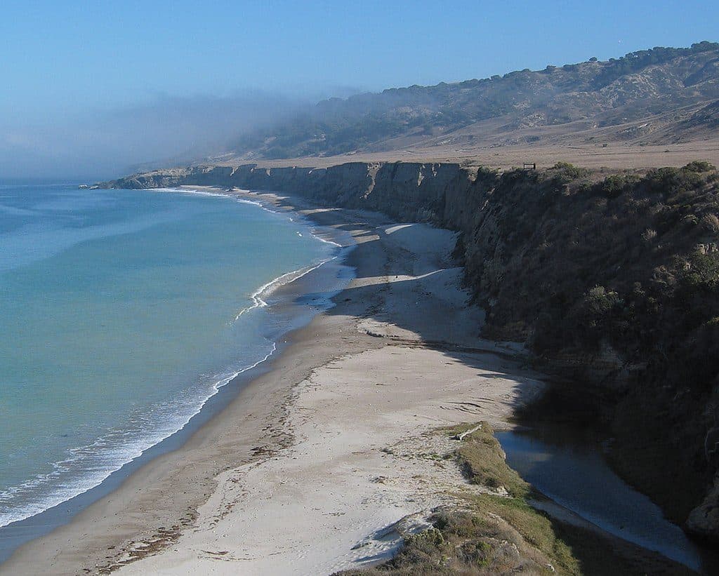 Beach · 1.2 mi awayWater Canyon BeachRemote 2-mile white-sand beach with wind and solitude
 Beach · 1.2 mi awayBechers BayWindswept white-sand beach and main gateway to Santa Rosa Island
 Sight · 2 mi awayTorrey Pines Overlook (Santa Rosa Island)Rare island pines meet sweeping ocean-and-canyon views
 Sight · 2.3 mi awayTorrey Pines GroveRare island grove of ancient Torrey pines with coastal views
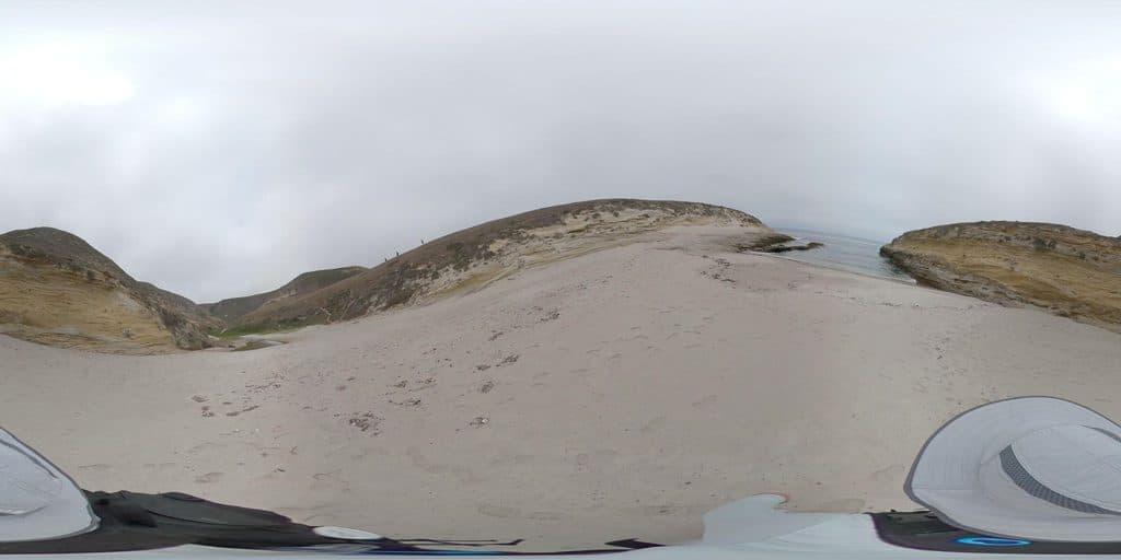 Sight · 3 mi awayLobo CanyonRemote, sculpted sandstone canyon that spills onto a wild coast
 Sight · 3.3 mi awaySanta Rosa IslandRemote island of wild beaches, Torrey pines, and foxes
Parkwolf’s Channel Islands ranking
The audio tour guide for the drive, plus offline maps, trails, and wildlife heatmaps for when the signal drops.


